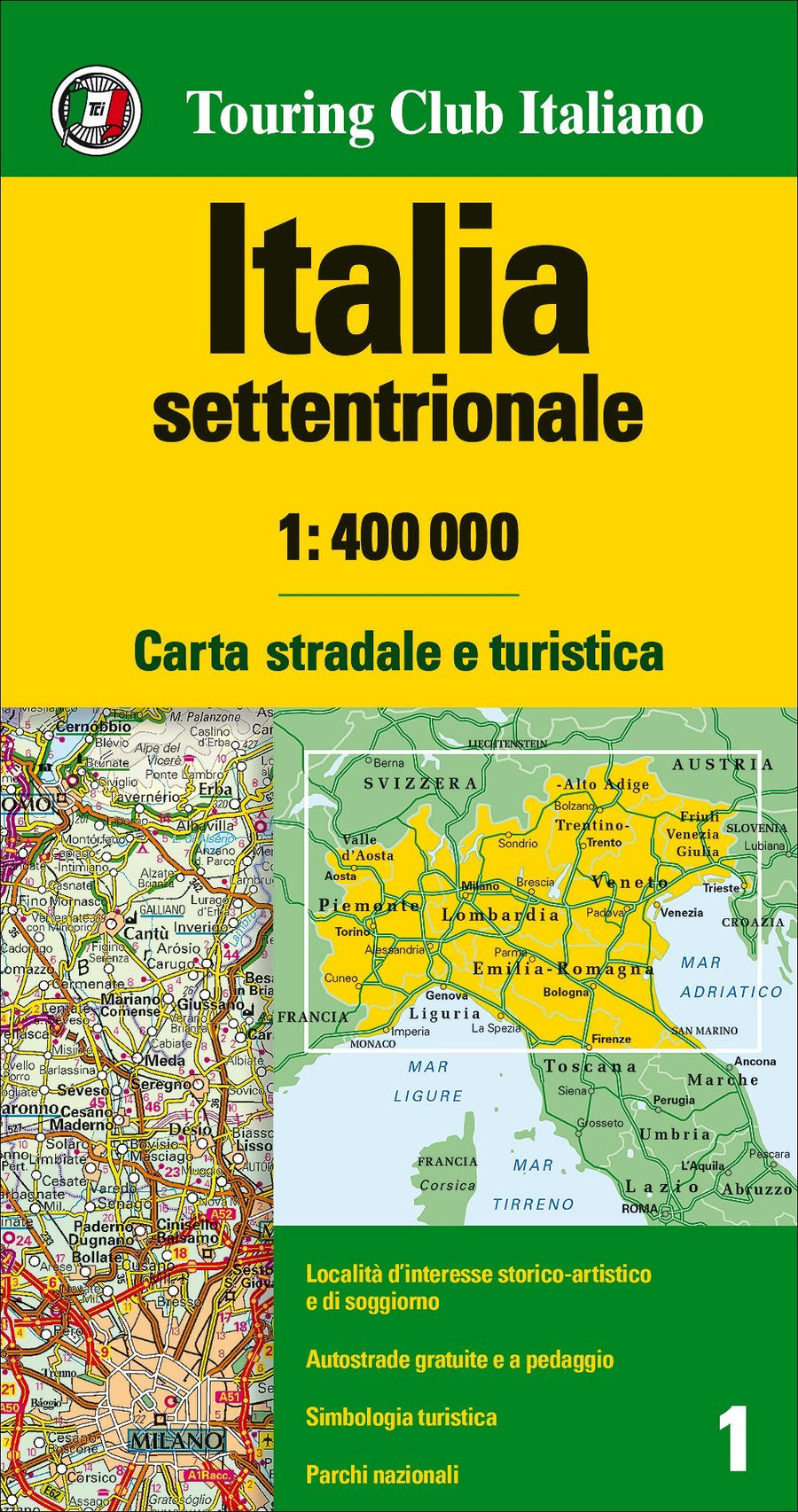
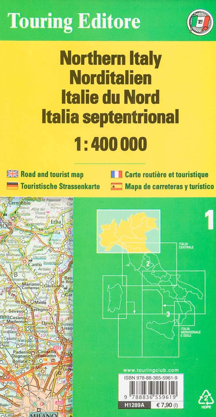
Northern Italy map published by the Italiano Touring Club. This simple side map extends from the Austrian border to Florence (from north to south). The road distances are indicated on many local routes. Places of interest, national parks and panoramic roads are marked. The map also provides accommodation information, showing hotels, shelters, tourist villages and campsites.
Scale 1: 400 000 (1 cm = 4 km).
ISBN/EAN : 9788836581412
Publication date: 2024
Scale: 1/400,000 (1cm=4km)
Printed sides: front
Folded dimensions: 23.5 x 12.5cm
Unfolded dimensions: 148 x 95cm
Language(s): multilingual (including French)
Weight:
90 g


