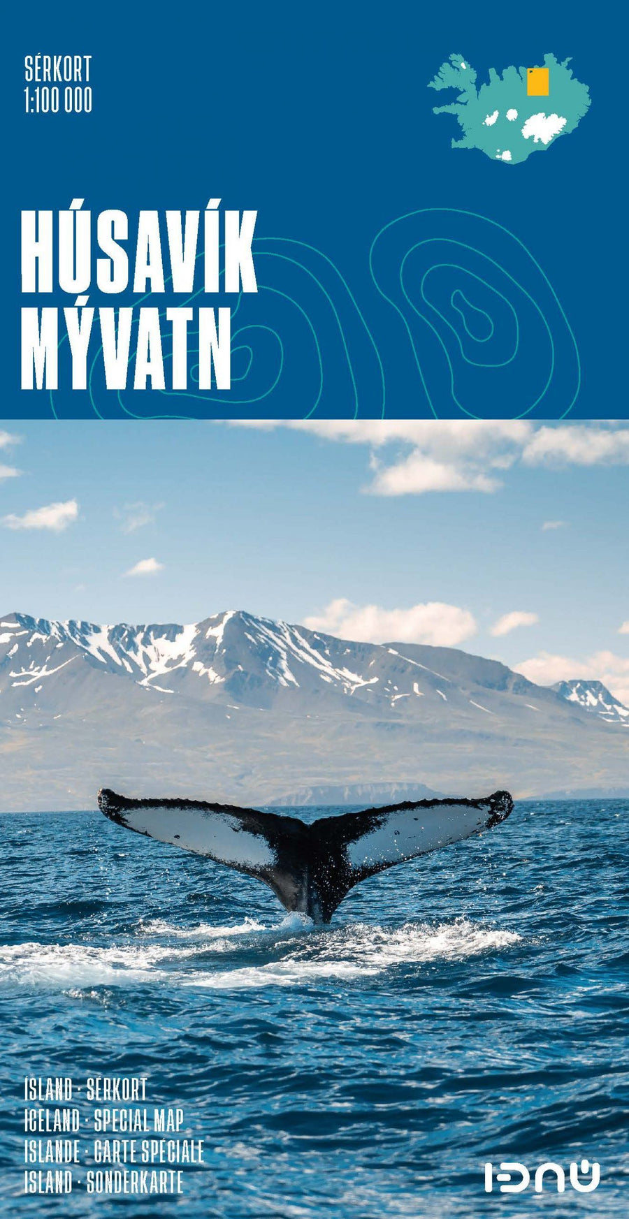
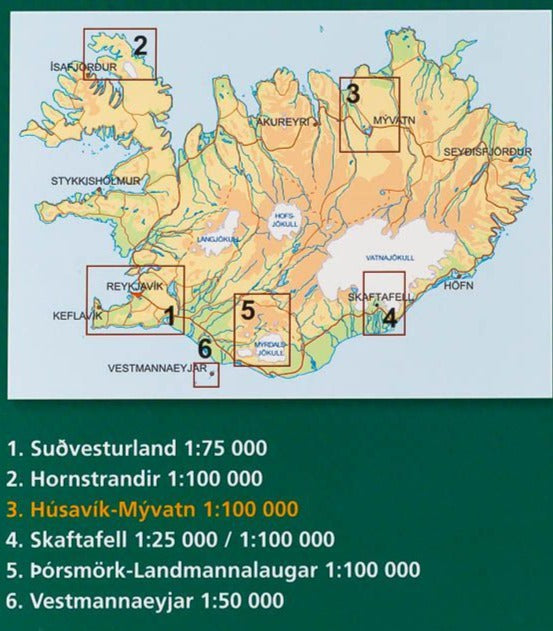
Carte détaillée - Parc National de Skaftafell (Islande) | Ferdakort carte pliée Ferdakort
Carte de randonnée du Parc National de Skaftafell (Islande) | Ferdakort - La Compagnie des Cartes

Detailed map - Skaftafell National Park (Iceland) | Ferdakort

Detailed map - Skaftafell National Park (Iceland) | Ferdakort

Regular price $22.00
/
  • Shipping within 24 working hours from our warehouse in France
  • Delivery costs calculated instantly in the basket
  • Free returns (*)
  • Real-time inventory
  • In stock, ready to ship
  • Backordered, shipping soon
Tax included.

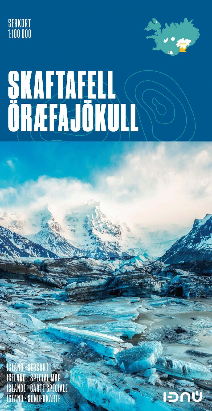
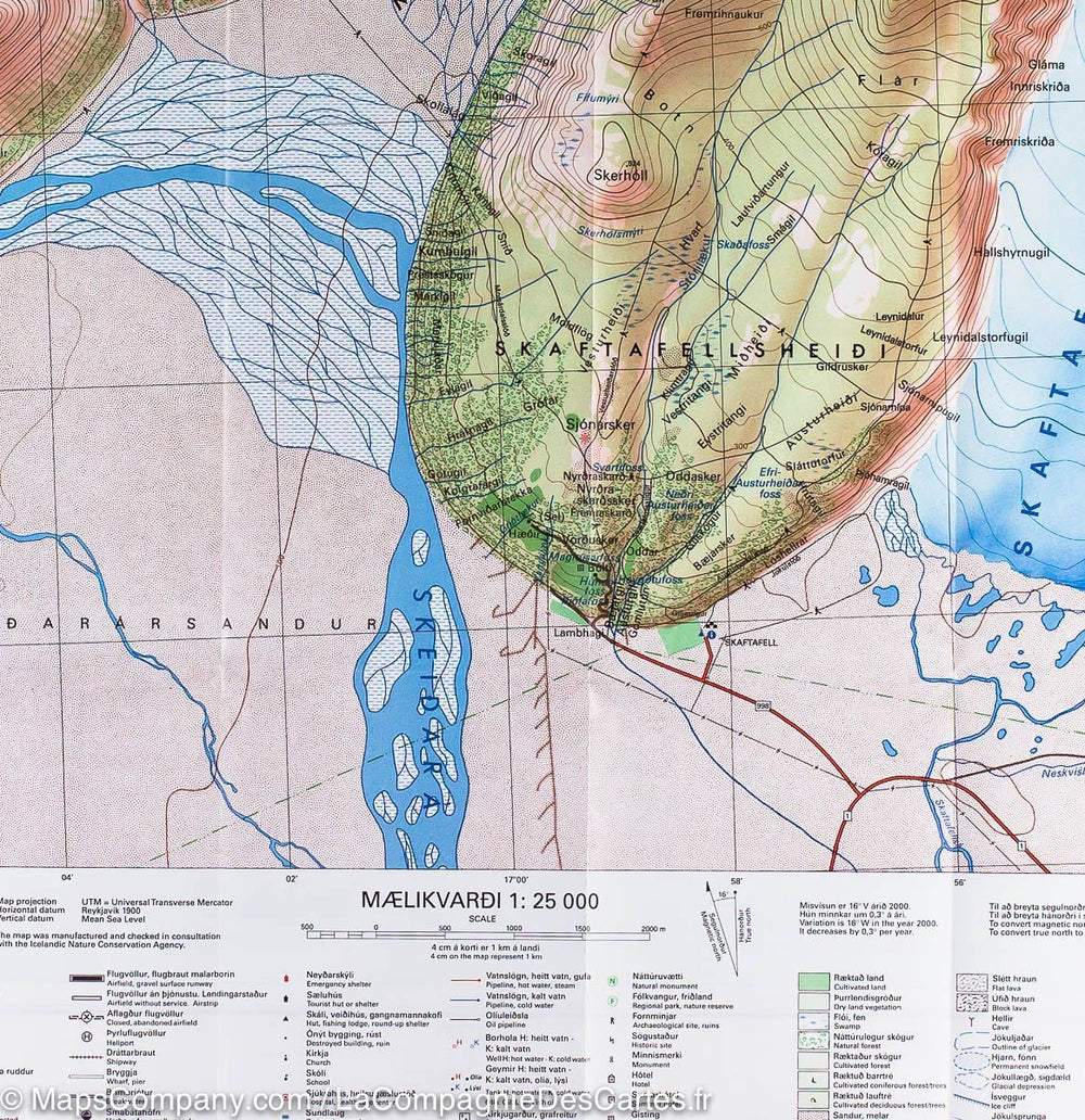
Skaftafell National Park Topographic Map in South-East Iceland published by Ferdakort (Serkort Series). 20 m space curves. This map includes the svartifoss waterfall, Cap Ingonfshöfði and HvannaDalshjúkur, the highest top of Iceland. Detailed legend.

Scale 1/100 000 (1 cm = 1 km).

This Iceland hiking map is protected by a laminated case.


ISBN/EAN : 9789979675129
Publication date: 2021
Scale: 1/100,000 (1cm=1km)
Printed sides: front
Folded dimensions: 23.2 x 12.8cm
Unfolded dimensions: 66 x 78cm
Language(s): French, English, German, Icelandic
Poids : 73 g

Customer Reviews

No reviews yet
0%
(0)
0%
(0)
0%
(0)
0%
(0)
0%
(0)