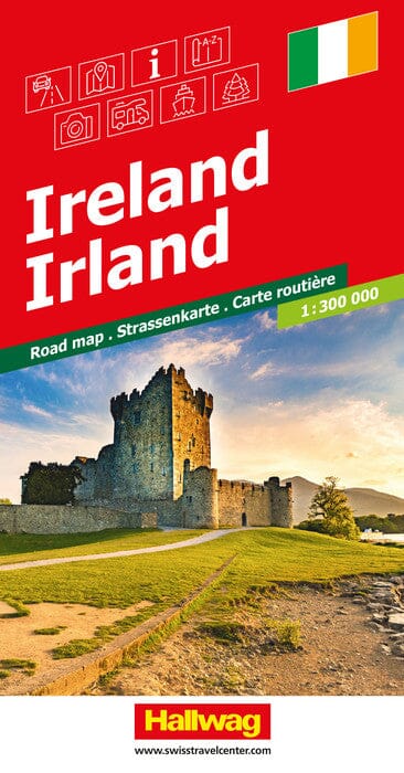
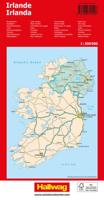
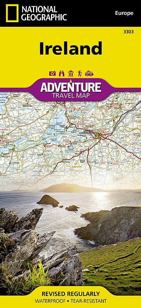
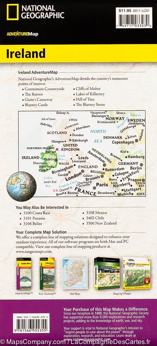
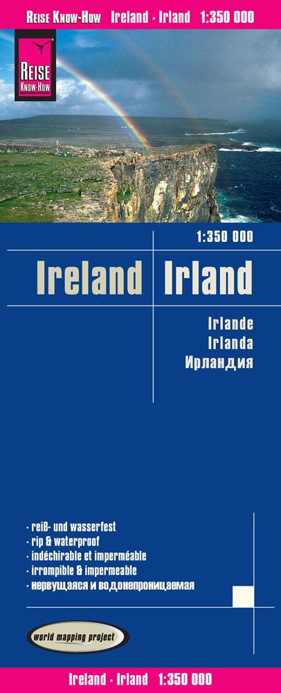
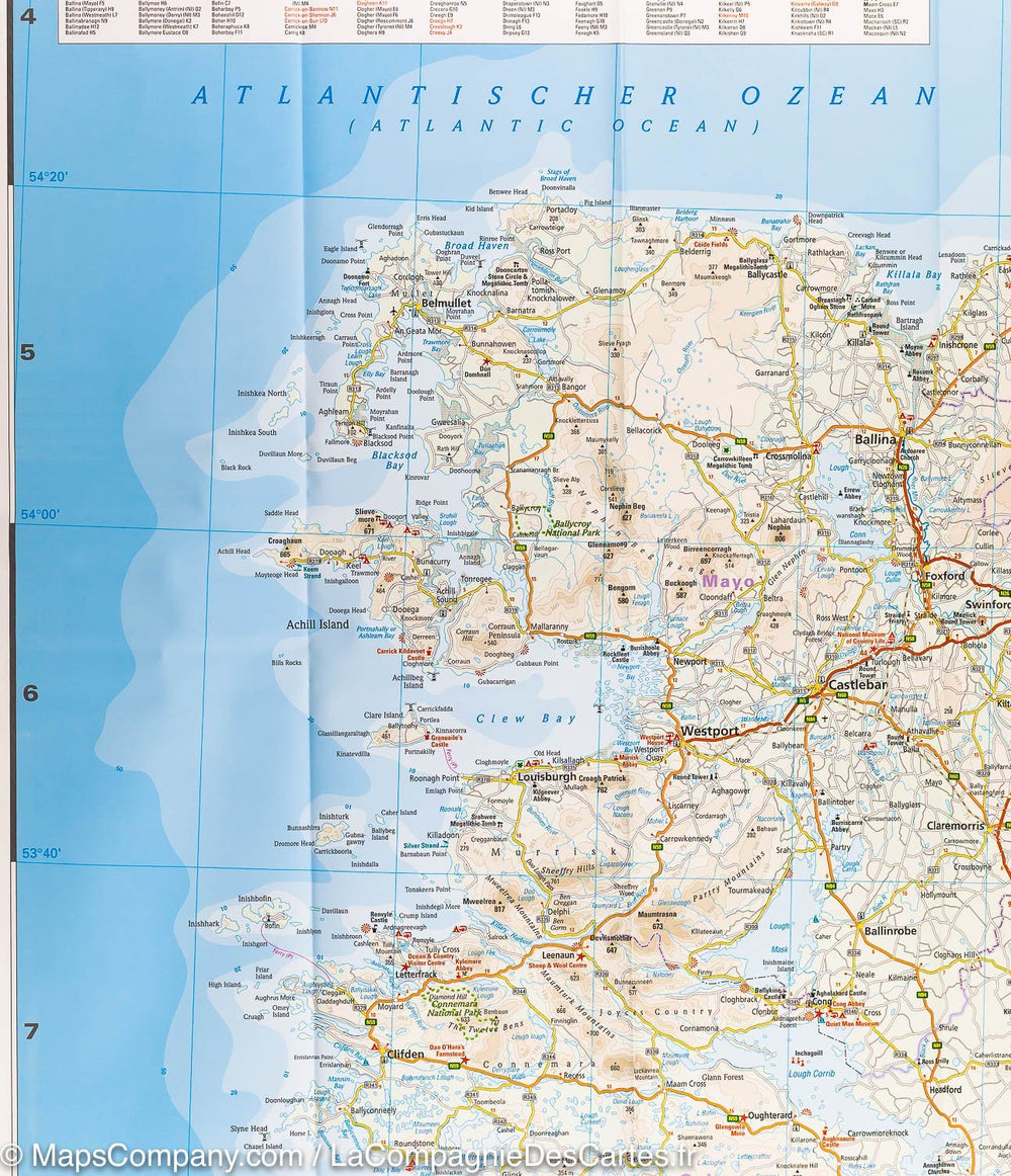
Color map of Ireland, with clear, detailed road network and counties, and new color-coded administrative areas. This double-sided map covers the whole of Ireland and is ideal for reference or route planning.
This map of Ireland shows the road network in detail. It's ideal for business users, with its color-coded municipal areas, but it's also perfect for tourists as a route planner.
Key Features:
- New administrative areas displayed in color
- Clear and detailed road network
- City and town names, rivers, lakes, elevations, railway lines, and canals are clearly marked
- Street maps of the city centers of Belfast, Cork, Dublin, Dún Laoghaire, Galway, and Limerick Londonderry/Derry and Waterford showing places of interest
- Complete index of place names
- Mileage table
- Ferry routes
ISBN/EAN : 9780008719241
Publication date: 2025
Scale: 1/470,000 (1cm=4.7km)
Printed sides: both sides
Folded dimensions: 23.6 x 11.8cm
Language(s): English
Weight:
90 g


