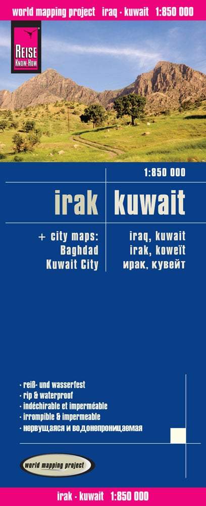
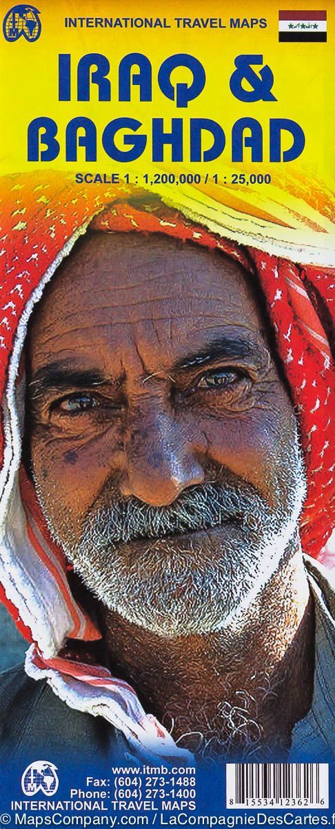
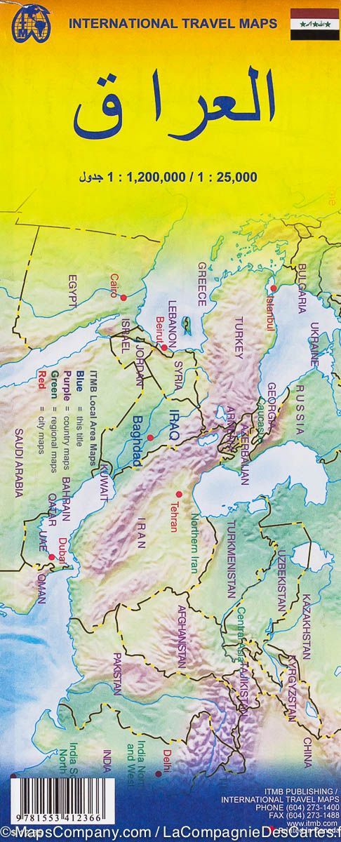
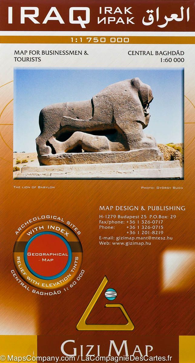
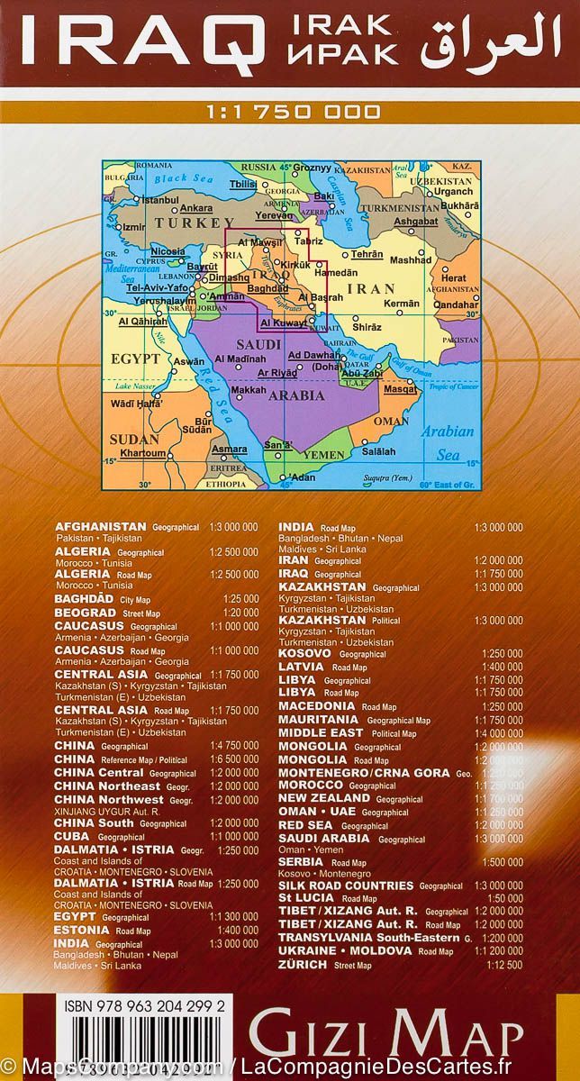
Road & Urban Map – Iraq & Baghdad Map
Iraq is one of those countries that deserves to be on any must-see travel list . Despite a difficult recent history, the country is undergoing a period of gradual reconstruction and stabilization .
-
The north , mainly under Kurdish control, is today the most stable region and therefore the most suitable for tourism.
-
The south , divided between Sunni and Shiite communities, is of major cultural interest, although slightly less stable in terms of security.
🗺️ What the map contains:
-
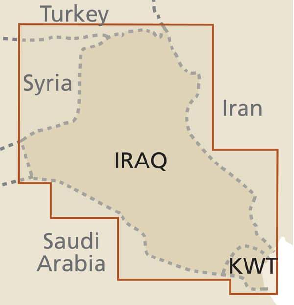
Side 1 : Detailed map of the entire country, including:
-
Classified roads (motorways, main and secondary roads)
-
National parks, airports, rivers and lakes
-
Points of interest: museums, zoos, fishing areas, monuments, etc.
-
-
Side 2 : Detailed street map of Baghdad
This map is the only one known in paper format and gained historical notoriety in 2003, during the siege of Baghdad. It was massively distributed (9 million copies) by the National Geographic Society and used by the Allied forces to orient themselves in an extremely complex urban environment.
🧭 Who is this map for?
-
For travelers curious and passionate about history, geopolitics and ancient cultures
-
For adventure tourism enthusiasts looking for off-the-beaten-track destinations
-
To professionals, journalists or humanitarians working on site
🔎 Additional information:
-
Printed on clear and detailed media
-
Updated information on roads, infrastructure and areas of tourist interest
-
A map with historical as well as practical value
Iraq is more accessible today, and its ancient cultural richness deserves to be rediscovered. An essential map for exploring this fascinating country with caution and curiosity.
ISBN/EAN : 9781771293723
Publication date: 2025
Scale: 1/1,200,000 (1 cm = 12 km) & 1/25,000 (1 cm = 250 m)
Printed sides: both sides
Folded dimensions: 10x25cm
Unfolded dimensions: 100 x 69cm
Language(s): English
Weight:
48 g


