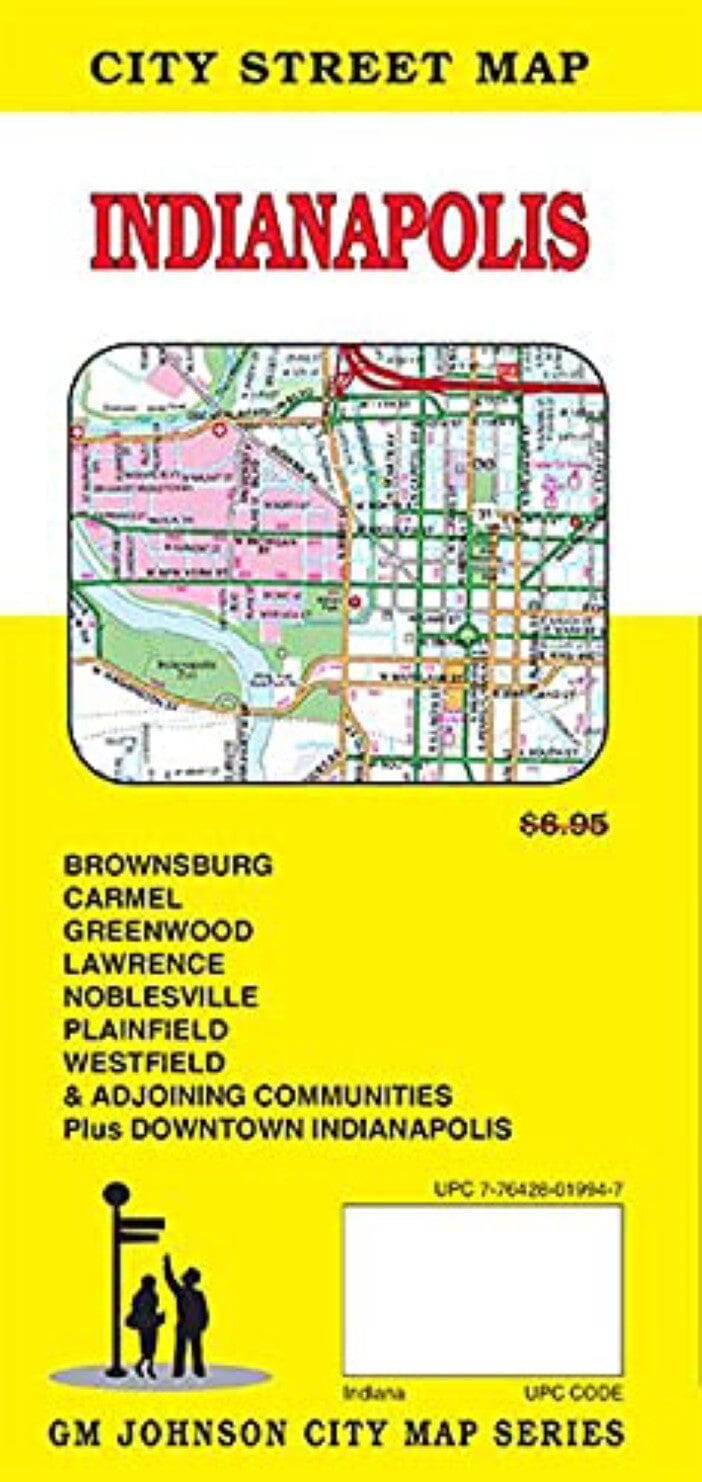
Plan des rues - Indianapolis | GM Johnson carte pliée GM Johnson

Street Map - Indianapolis | GM Johnson

Price
Regular price $9.00
Regular price Sale price $9.00
Save $-9
/
  • Shipping within 48 business hours from our warehouse in the USA. For this product, customs fees may be requested by the carrier upon delivery.
  • Delivery costs calculated instantly in the basket
  • Free returns (*)
  • Real-time inventory
  • In stock, ready to ship
  • Backordered, shipping soon
Tax included.

Often purchased together:

Map Coverage Area: Avon, Beech Grove, Brownsburg, Carmel, Cicero, Clermont, Crows Nest, Cumberland, Fishers, Greenwood, Homecroft, Indianapolis, Lawrence, Meridian Hills, Noblesville, Plainfield, Southport, Speedway, Warren Park, Westfield, Whitestown, Williams Creek, Wynnedale, Zionsville, Boone County, Hendricks County, Johnson County, Marion County, Morgan County, Downtown Indianapolis


ISBN/EAN : 9781774490419
Publication date: 2021
Folded dimensions: 9 x 4"
Language(s): English
Weight: 62 g

Customer Reviews

Be the first to write a review
0%
(0)
0%
(0)
0%
(0)
0%
(0)
0%
(0)
More from Indianapolis
Carte routière n° 8 - USA Sud-Est (MidAtlantic, Appalaches) | Hallwag carte pliée Hallwag
Road map # 8 - USA South East (Midatlantic, Appalaches) | Hallwag
Hallwag
$15.00
Indianapolis, Indiana and Vicinity Regional | Rand McNally carte pliée Rand McNally
Indianapolis, Indiana and Vicinity Regional | Rand McNally
Rand McNally
$8.00
Indiana, carte facile à lire | Rand McNally carte pliée Rand McNally
Indiana, Easy to Read Map | Rand McNally
Rand McNally
$11.00
Plan des rues - Indianapolis | GM Johnson carte pliée GM Johnson
Street Map - Indianapolis | GM Johnson
GM Johnson
$9.00
Chicago to New York City - Bicycle Route, #2 | Adventure Cycling Association carte pliée Adventure Cycling Association
Chicago to New York City - Bicycle Route, #2 | Adventure Cycling Association
Adventure Cycling Association
$19.00