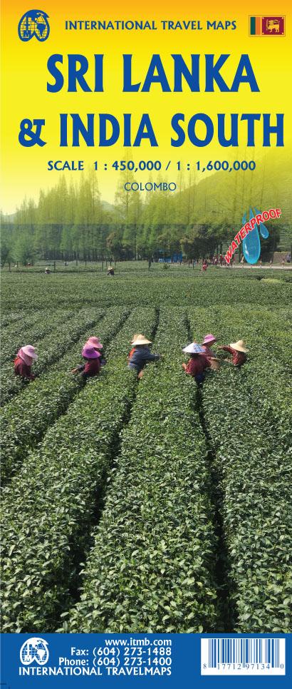
Sri Lanka Road map (on the front) published by ITM. The road network includes selected land tracks, indicates the location of the gas stations and gives distances on the main roads. Railway lines are visiblely indicated and bonds by ferry and local airports are also included. The map also shows the country's administrative divisions with the names of the provinces.
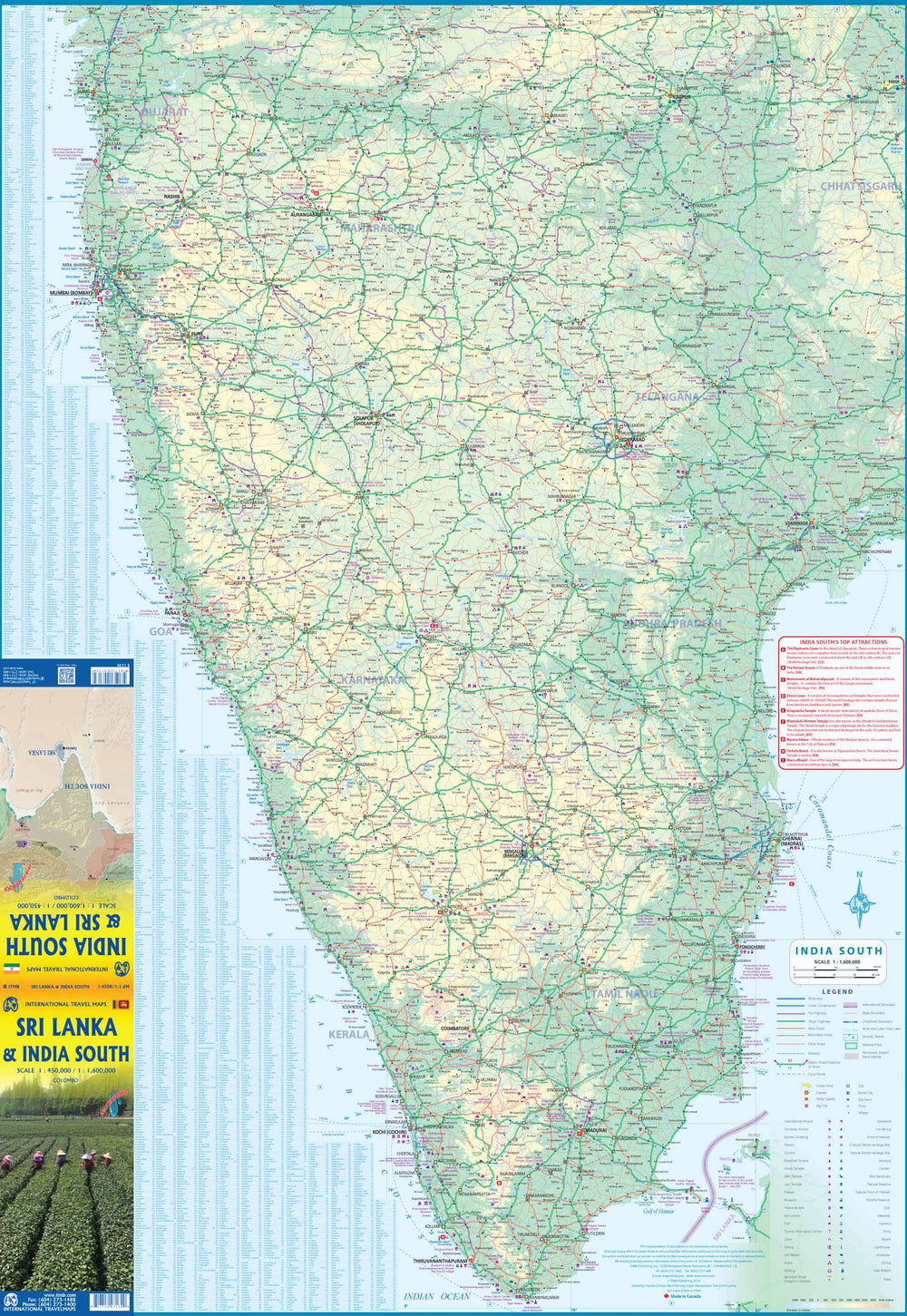
The back has the southern part of India (on the back) located between Bopal north, Pune to the West and Sambalpur in the East.
Relief mapping, indication of nature reserves, points of interest, maritime links and cities index. Main distances indicated on this detailed map. Cities index.
In insert, a small map of Colombo.
ISBN/EAN : 9781771297134
Publication date: 2020
Printed sides: both sides
Folded dimensions: 24.6 x 10.3 x 0.5cm
Unfolded dimensions: 100 x 68cm
Language(s): English
Weight:
51 g


