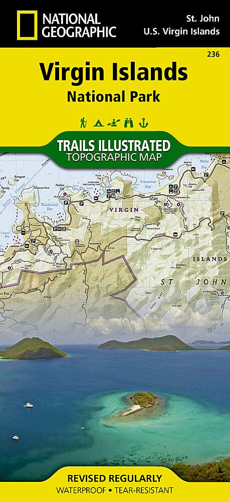
Carte des sentiers du parc national des îles Vierges, St John (Petites Antilles), # 236 | National Geographic carte pliée National Geographic

Trails map of Virgin Islands National Park, St John (Lesser Antilles), # 236 | National Geographic

Price
Regular price $20.00
Regular price Sale price $20.00
Save $-20
/
  • Shipping within 48 business hours from our warehouse in the USA. For this product, customs fees may be requested by the carrier upon delivery.
  • Delivery costs calculated instantly in the basket
  • Free returns (*)
  • Real-time inventory
  • In stock, ready to ship
  • Backordered, shipping soon
Tax included.

Often purchased together:

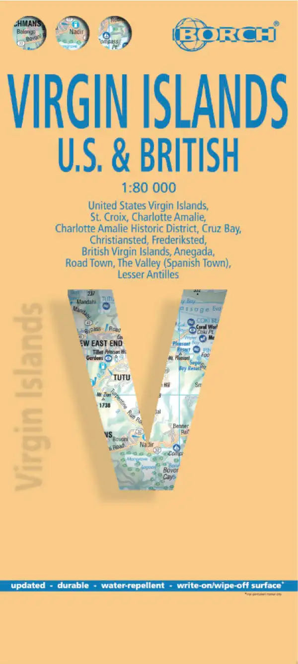
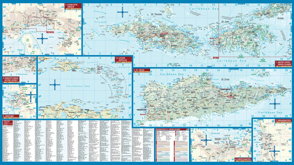
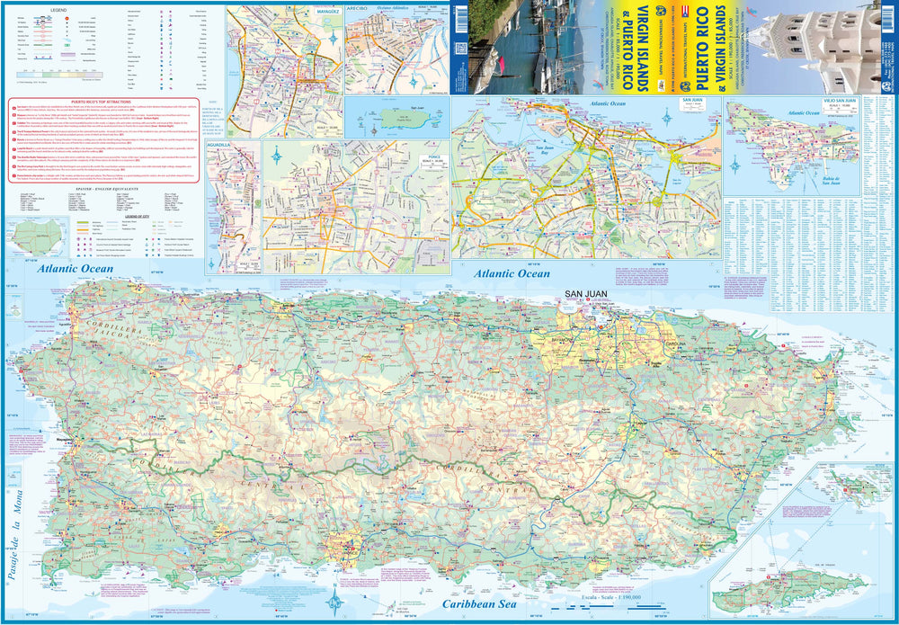
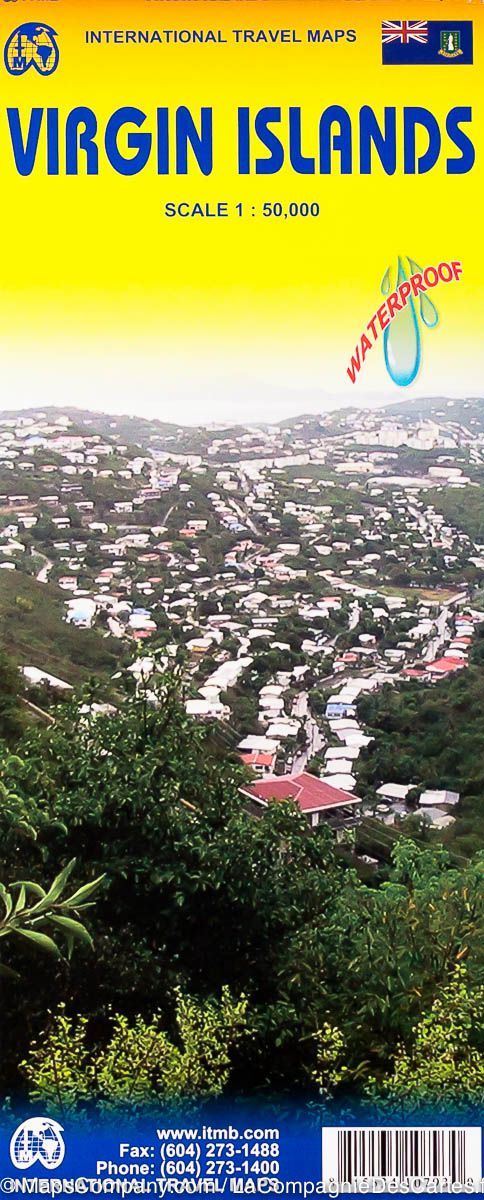
Hiking map of Virgin Islands National Park (St John island, Lesser Antilles) published by National Geographic. This detailed map includes the island of St. John ; the entire Virgin Islands National Park ; Virgin Islands Coral Reef National Monument ; Mount Sage National Park ; Tortola Island ; Great Thatch Island ; Little Thatch Island ; Frenchmans Cay ; Lovango Cay ; Congo Cay ; Mingo Cay ; Dog Island ; Hawksnest Bay ; Durloe Cays ; Durloe Channel ; Cinnamon Bay ; Trunk Bay ; Mary Point ; Francis Bay. Trails, trailheads, points of interest, campgrounds are included. Waterproof and tear resistant. Scale 1:22,000.


ISBN/EAN : 9781566953467
Publication date: 2020
Scale: 1: 22,000 (1 cm represents 220 m)
Printed sides: both sides
Language(s): English
Weight: 95 g

Customer Reviews

Be the first to write a review
0%
(0)
0%
(0)
0%
(0)
0%
(0)
0%
(0)