Hiking map - Andros Island (Greece) | Terrain Cartography

Price
Regular price $12.00
Regular price Sale price $12.00
Save $-12
/
  • Shipping within 24 working hours from our warehouse in France
  • Delivery costs calculated instantly in the basket
  • Free returns (*)
  • Real-time inventory
  • In stock, ready to ship
  • Backordered, shipping soon
Tax included.

Often purchased together:

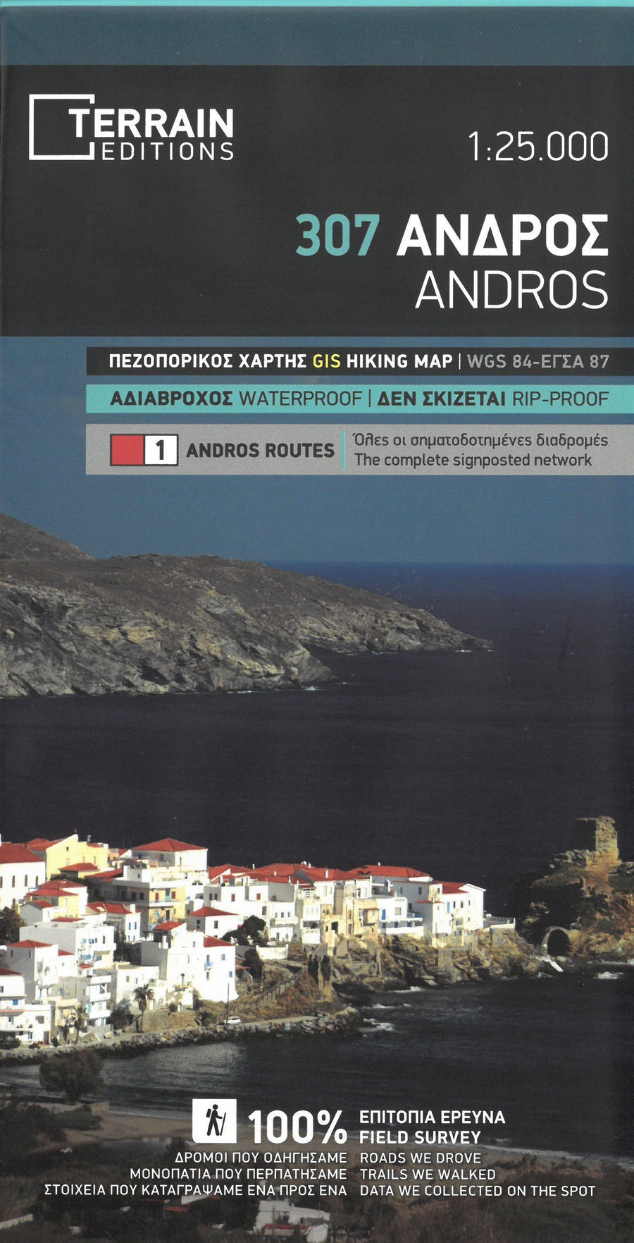
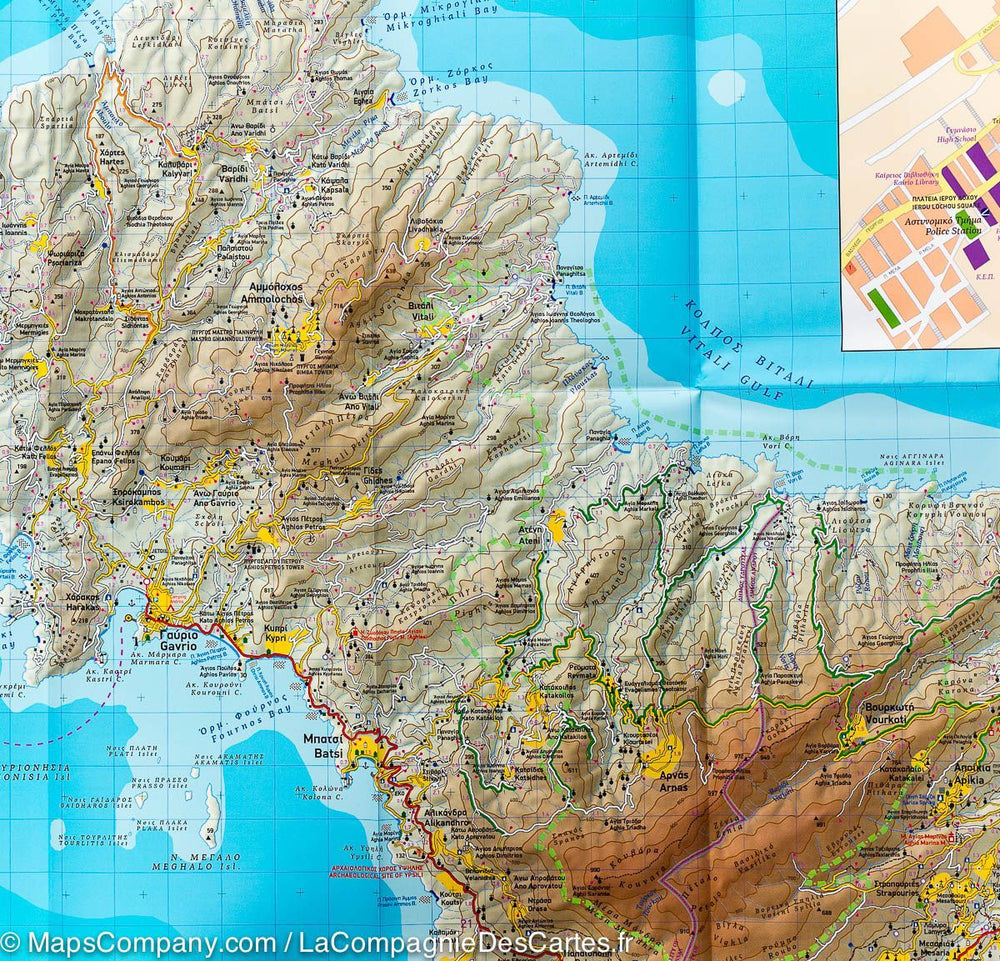
Waterproof topographic map of Andros (Greece) published by land map. Level curves, indication of hiking trails. All the names are in Greek and Latin. Tourist information (beaches, points of interest, maritime links ...) and selection of hikes with duration and distance (on the back).
Multilingual map (French, English, German and Greek). Detailed map protected by a laminated case.
Scale 1 / 50,000 (1 cm = 500 m).


ISBN/EAN : 9789609456807
Publication date: 2018
Scale: 1/50,000 (1cm=500m)
Printed sides: both sides
Folded dimensions: 25 x 12.5 x 0.5cm
Unfolded dimensions: 100 x 68cm
Language(s): English, Greek
Weight: 77 g

Customer Reviews

Based on 7 reviews
100%
(7)
0%
(0)
0%
(0)
0%
(0)
0%
(0)
B
Benjamin D. (Paris, FR)
Très belle réalisation

Remarquable carte d'un endroit magnifique où la randonnée est une institution

m
marie-agnes d. (Athens, GR)
Parfait

Impeccable

J
Jean-Christophe Q. (Herm, FR)
Excellente carte pour les randonnées

Excellente carte pour les randonnées et la visite des sites à une bonne échelle, et semble solide.

j
jean c.m. (Vannes, FR)
beau produit

belle presentation, papier semi-etanche, a confirmer sur le terrain

r
rene r. (Bern, CH)

Bien