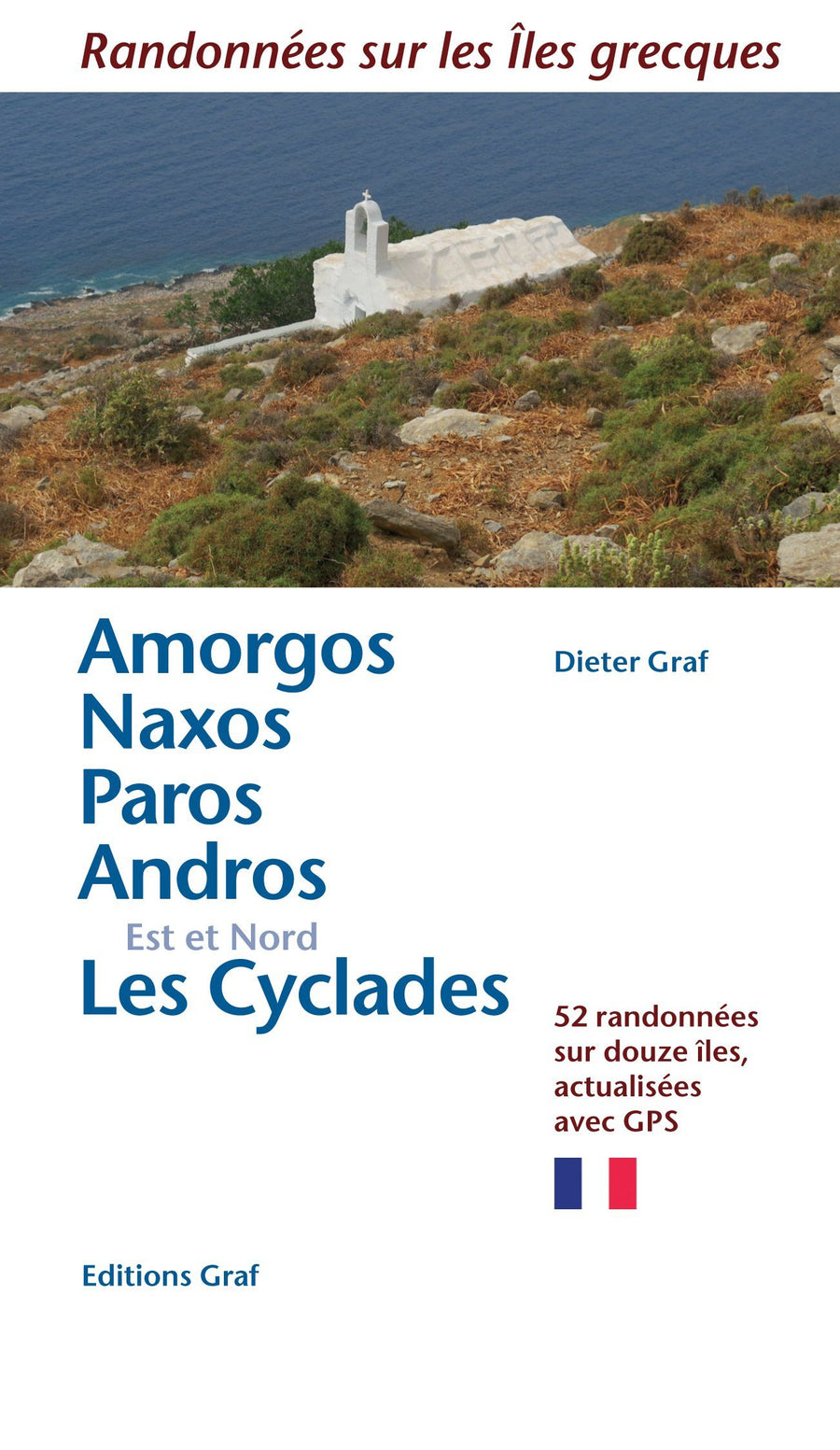
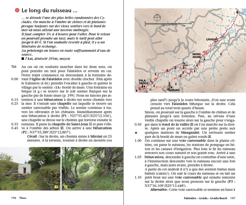
Amorgos Island Compatible GPS map, printed on lightweight, waterproof and tear - resistant laminated paper. The map presents a plan of the most important cities. The suggestions for hiking are indicated.
The road network indicates the undeveloped minor routes and the tracks in poor condition The road distances are indicated on the main roads and the locations of the service stations are indicated.
A series of symbols highlight the various places of interest, including archaeological sites, beaches, etc.
All the names are in Greek and Latin alphabet.
ISBN/EAN : 9789608195318
Publication date: 2024
Scale: 1/32,000 (1 cm = 320 m)
Folded dimensions: 12 x 23cm
Language(s): French, English, Greek
Weight:
60 g


