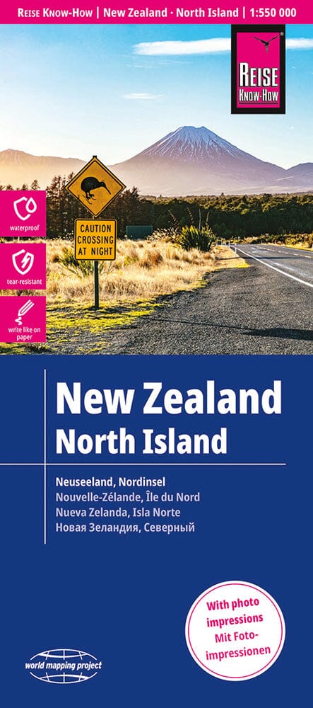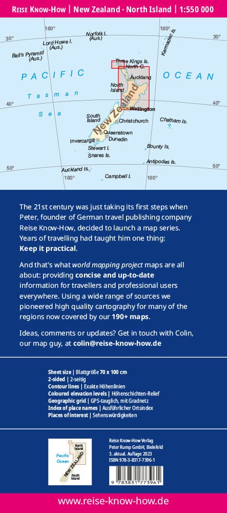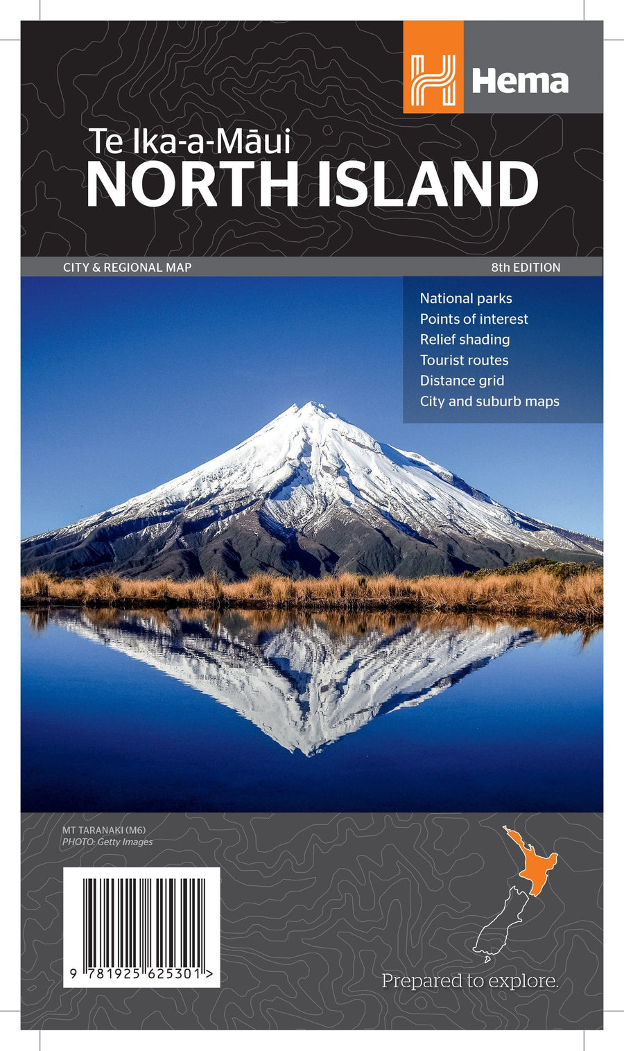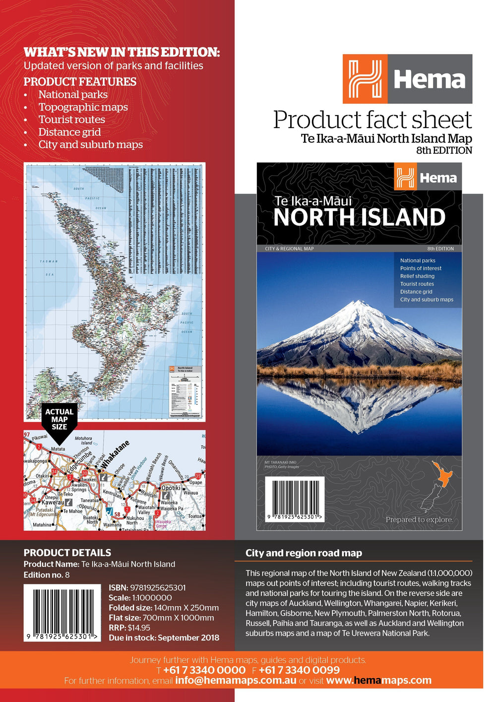
Île du Nord et 4 cartes de villes (Nouvelle-Zélande) | Kiwi Maps carte pliée Kiwi Maps

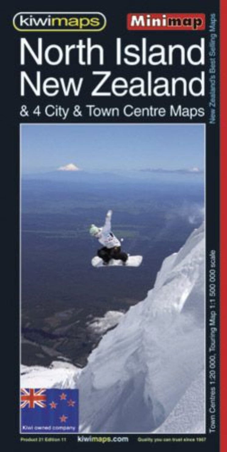
North Island and 4 cities maps (New Zealand) | Kiwi Maps

Price
Regular price $9.00
Regular price Sale price $9.00
Save $-9
/
  • Shipping within 48 business hours from our warehouse in the USA. For this product, customs fees may be requested by the carrier upon delivery.
  • Delivery costs calculated instantly in the basket
  • Free returns (*)
  • Real-time inventory
  • In stock, ready to ship
  • Backordered, shipping soon
Tax included.

Often purchased together:

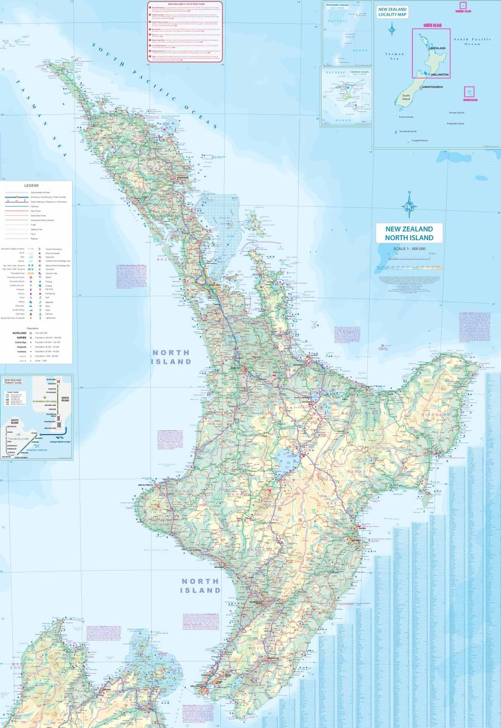
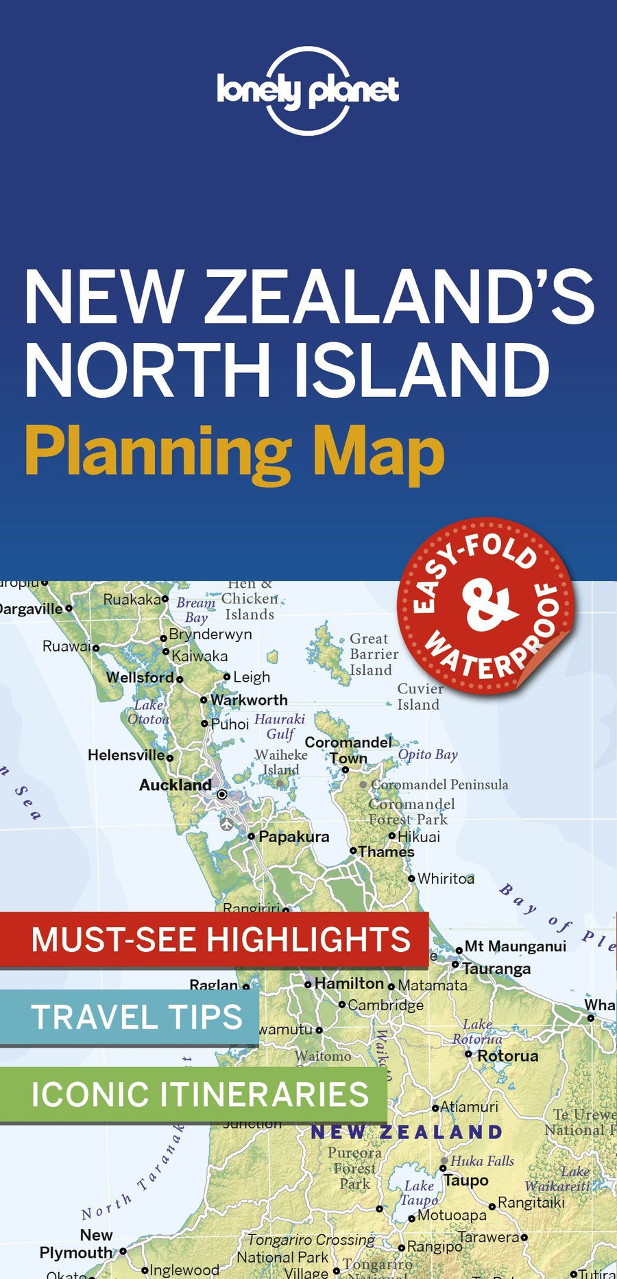
New Zealand's North Island at 1:1,500,000 on a handy-sized indexed tourist map from the country's leading map publisher, Kiwimaps, with indexed city centre street plans for four towns, a travel time map, distance table and more.

The road network emphasizes national highways and indicates scenic routes such as the Pacific Coast Highway, Thermal Explorer Highway, etc. Major rail lines and ferry routes are included and local airports and airfields are signposted.

The base map features shaded relief to show topography, with many names of mountain ranges, lakes, and other geographic features. National parks and protected areas are highlighted. The index is on the back and, in addition to cities and towns, also lists coastal/water features and ski areas/parks/land. Also included is a distance table and a small map showing travel times.

The map includes four panels with street plans of downtown Auckland, Wellington, Hamilton and Rotorua. The plans show one


ISBN/EAN : 9415871000751
Publication date: 2023
Scale: 1/20,000 (1 cm = 200 m) & 1/1,500,000
Folded dimensions: 8.27 x 3.94"
Language(s): English
Weight: 69 g

Customer Reviews

Be the first to write a review
0%
(0)
0%
(0)
0%
(0)
0%
(0)
0%
(0)