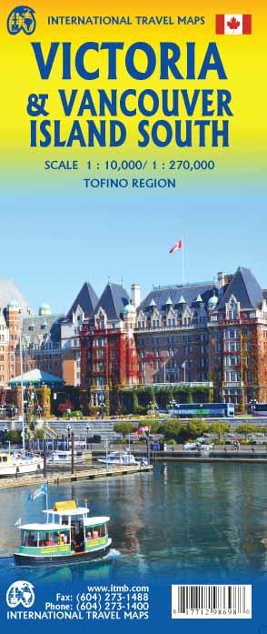
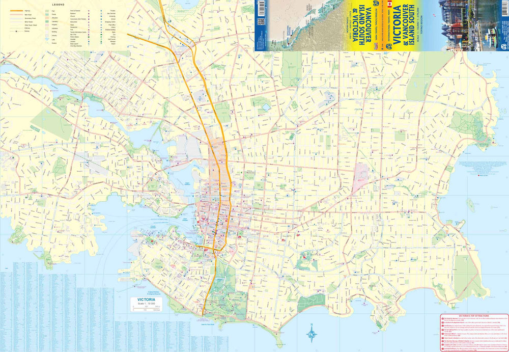
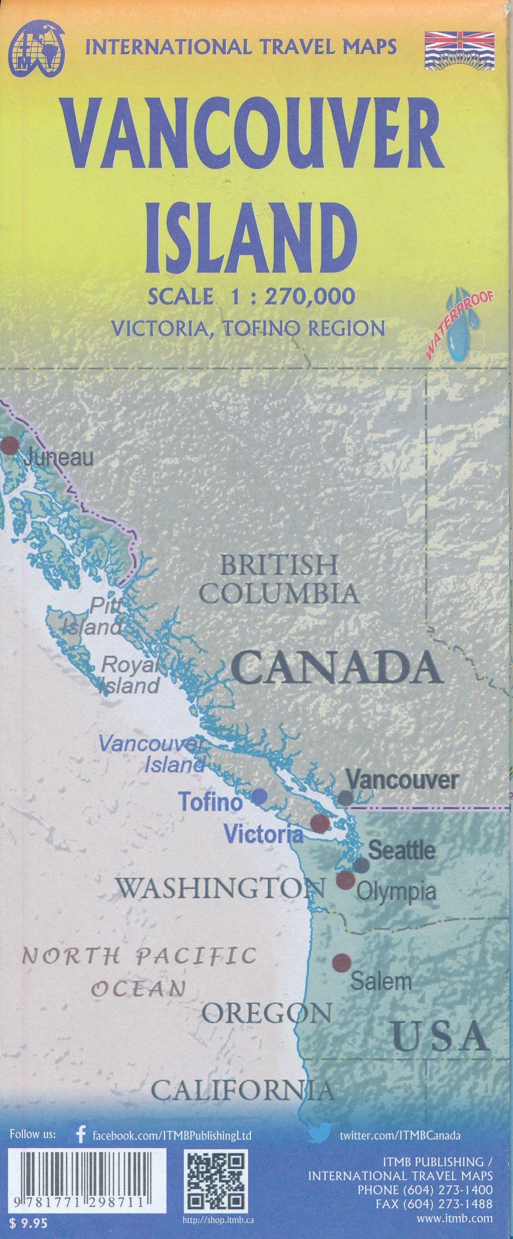
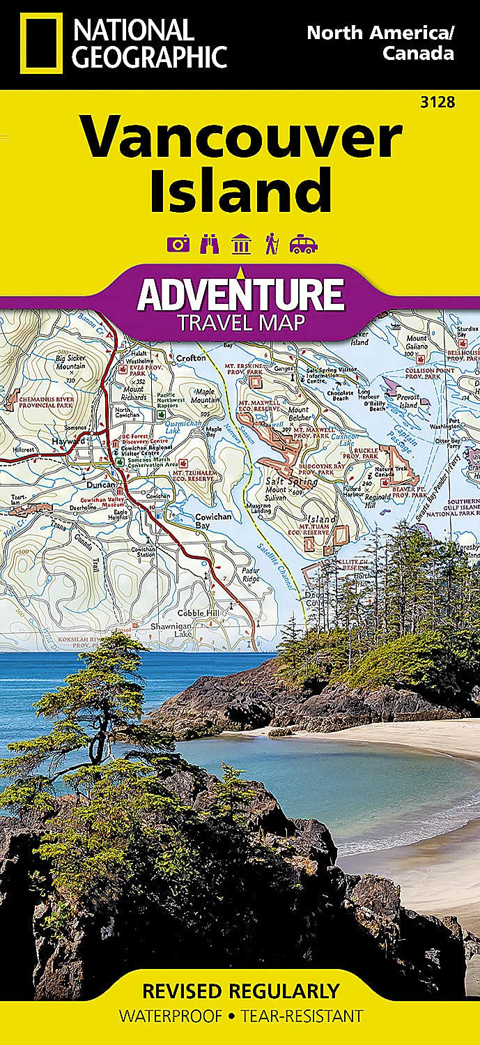
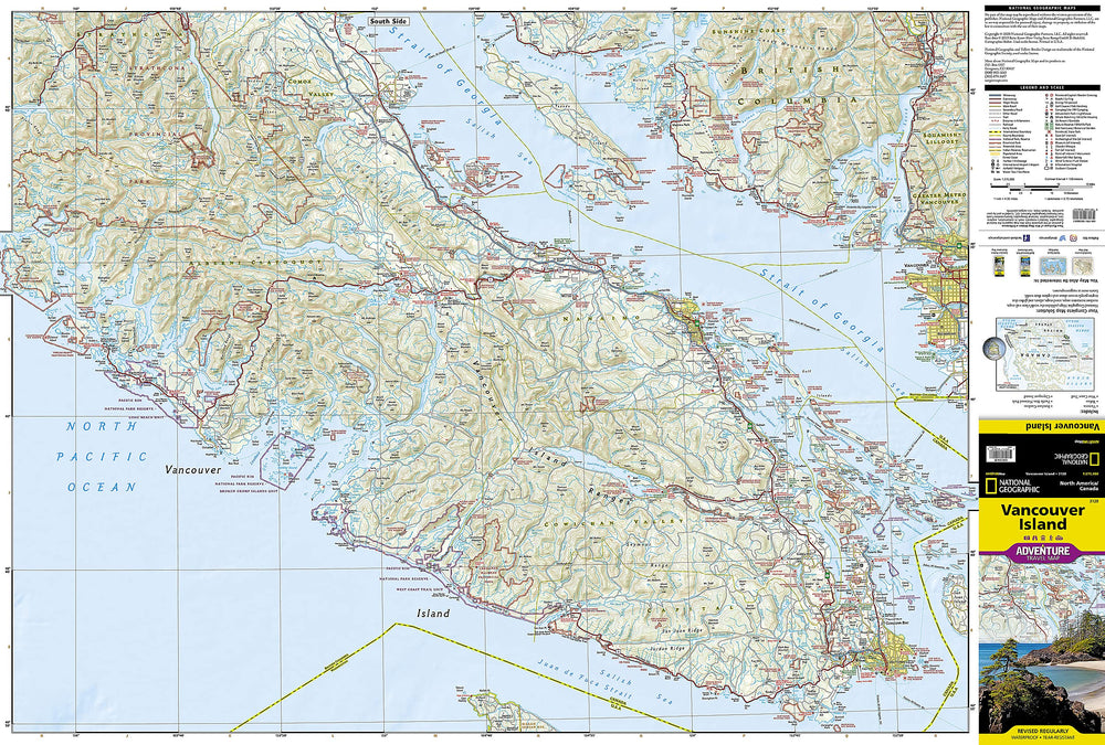
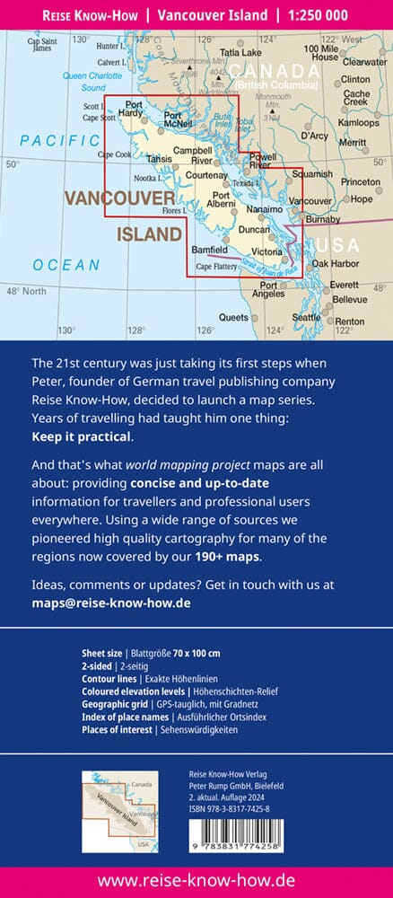
Great plan of the city of Victoria on the front. On the back, detailed map of the southern half of the island of Vancouver, ideal for day trips from Victoria. It includes the magnificent Butchart Gardens, an inset of the beautiful Tofino beach, Cathedral Grove (the largest gathering in the world of old fir trees), Chemnus (with its painted buildings), Duncan (with its museum) and Nanaimo. The famous West Coast Trail is presented as well as the Broken Islands. Finally, the ferry routes to Vancouver and the Gulf Islands are indicated.
The legend includes: highway, railway, other roads, ferry road and ferry terminal, airports, distance between roads, international limits, trail, ports, Indian reserve, protected area, glacier, reef, reef, reef, Ring road, offshore, bathymetry in meters, city, point of interest, camping, museum, picnic land, fishing area, canoeing, hiking trail, alpine skiing, climbing, beach, hotel, Restaurant, bar / pub, cinema, bus terminal, shopping center, parking, etc.
ISBN/EAN : 9781771298698
Publication date: 2018
Scale: 1/10,000 (1 cm = 100 m) & 1/270,000 (1 cm = 2.7 km)
Printed sides: both sides
Folded dimensions: 24.6 x 10.3 x 0.5cm
Unfolded dimensions: 68x100cm
Language(s): English
Weight:
60 g


