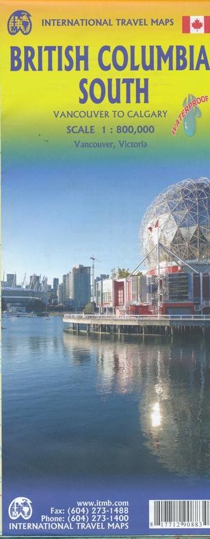
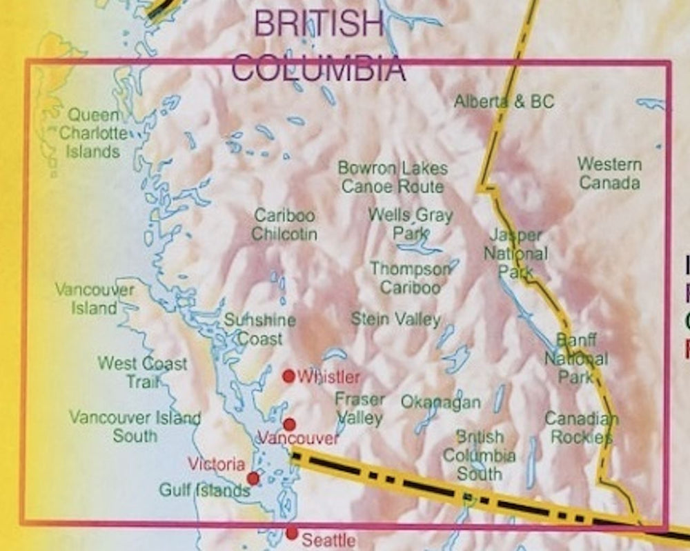
The front of the map presents the coast of British Columbia, located north of Vancouver.
The best - known part is the part just north and west of Vancouver, known as Sunshine Coast. The rugged mountain range of the coast makes road construction impracticable for a large part of the interior, so that communities such as Gibsons, Sechelt and Powell River are connected by Route 101 and by ferries. Many fjords take kayakists in virgin wild areas, and the old forest roads are now commonly used for nature hikes. The famous Strait of Georgia, used by cruise ships to Alaska, crosses the middle of the map, with a largely non - populated and wild Bute arm leading to the Waddington Glacier and the vast Homathko ice field.
The back of the map covers southwestern British Columbia, including the entire Vancouver Island and the South Interior to Nelson and north until 100 mile House. Inserts from downtown Vancouver and Victoria are included.
ISBN/EAN : 9781771297257
Publication date: 2021
Scale: 1/250,000 (1 cm = 2.5 km) & 1/800,000 (1 cm = 8 km)
Printed sides: both sides
Folded dimensions: 24.6 x 10.3 x 0.5cm
Unfolded dimensions: 68x100cm
Language(s): English
Weight:
51 g


