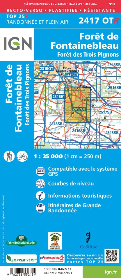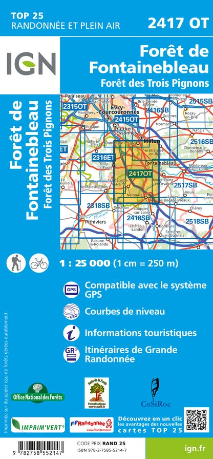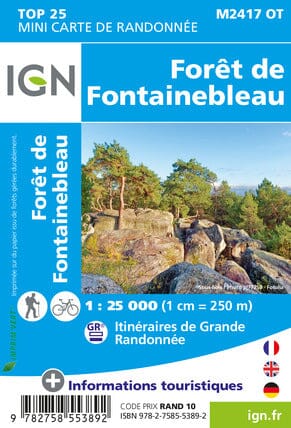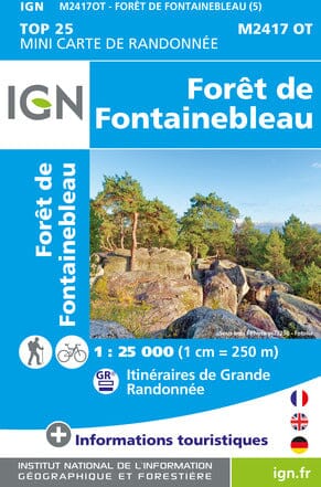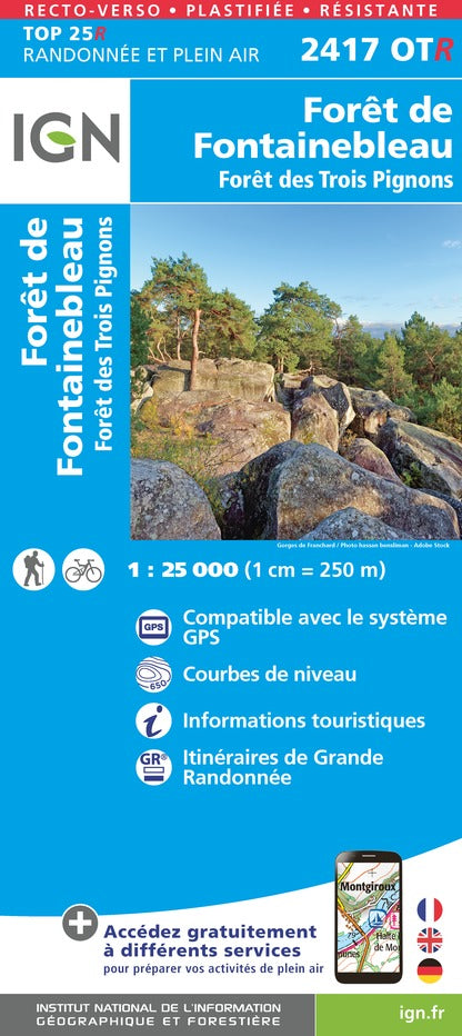


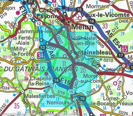


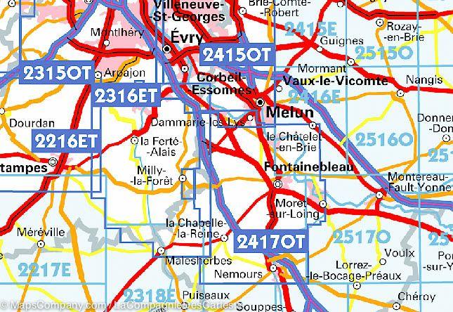

TOP 25 Map No. 2417 OTR (Resistant) - Fontainebleau Forest & Trois Pignons Forest | IGN
Regular price
$21.00
Regular price
Sale price
$21.00
Save $-21
/
- Shipping within 24 working hours from our warehouse in France
- Delivery costs calculated instantly in the basket
- Free returns (*)
- Real-time inventory
- In stock, ready to ship
Related geographic locations and collections: Fontainebleau, France hiking maps - IGN TOP 25 & SÉRIE BLEUE, Hiking around Paris, Ile-de-France, Paris & Region hiking maps - IGN TOP 25 & SÉRIE BLEUE, Seine-et-Marne (department 77)