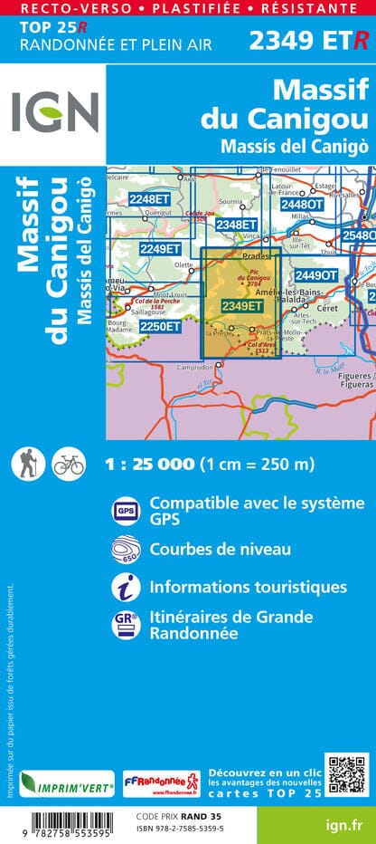
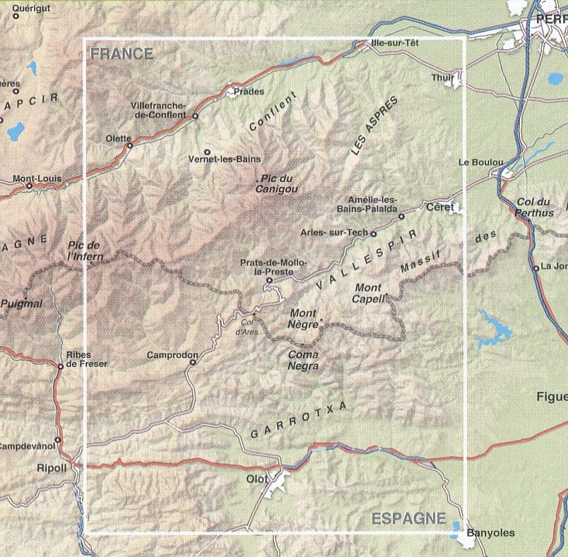
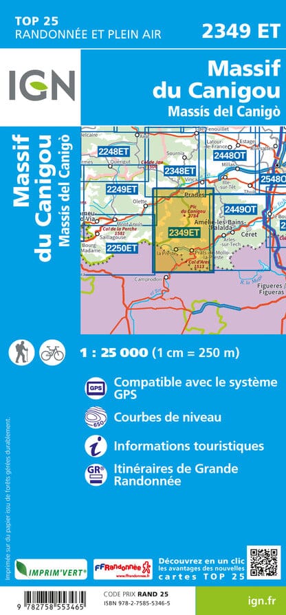
topographic top 25 of the Canigou massif published by IGN, which goes from prades north to the Col Ares to the south and which includes the Pras and Prats - de - Mollo.
Hiking map with space curves spaced 10 meters and detailed legend (vegetation, rocks, streams etc ...). Indication of hiking trails. Scale 1 / 25,000 (1 cm = 250 m). GPS compatible map.
- This map is printed on a laminated and tearing support bracket , ideal for the practice of outdoor activities.
- Duplex map: a reduced footprint that facilitates handling.
ISBN/EAN : 9782758553595
Publication date: 2023
Scale: 1/25,000 (1cm=250m)
Printed sides: both sides
Folded dimensions: 23.6 x 11.2 x 0.5cm
Unfolded dimensions: 50 x 132cm
Language(s): French, English, German
Weight:
89 g


