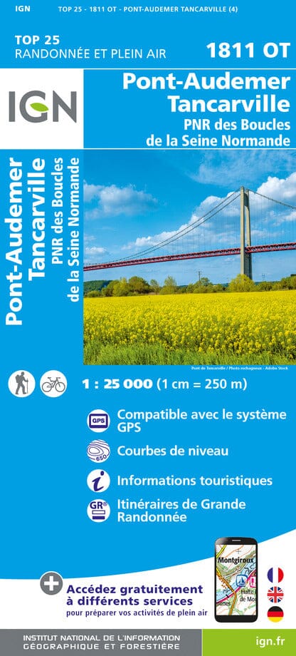
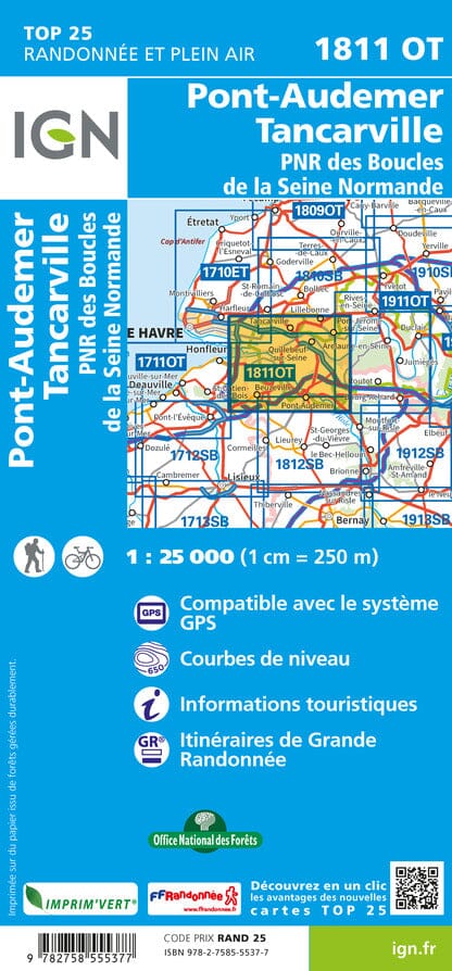
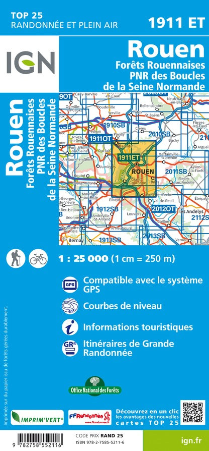
Carte TOP 25 n° 1811 OT - Pont-Audemer, Tancarville & PNR des Boucles de la Seine Normande | IGN carte pliée IGN
Carte TOP 25 n° 1811 OT - Pont-Audemer, Tancarville & PNR des Boucles de la Seine Normande | IGN - La Compagnie des Cartes

Map Top 25 # 1811 OT - Pont-Audemer, Tancarville & PNR Seine Normande loops | IGN

Map Top 25 # 1811 OT - Pont-Audemer, Tancarville & PNR Seine Normande loops | IGN

Regular price $16.00
/
  • Shipping within 24 working hours from our warehouse in France
  • Delivery costs calculated instantly in the basket
  • Free returns (*)
  • Real-time inventory
  • In stock, ready to ship
  • Backordered, shipping soon
Tax included.

Top 25 Top 25 map of the Pont-Audemer region, Tancarville and the Regional Natural Park of the Normandy Seine Edited Edited by IGN.

Hiking Map with space curves spaced 10 meters and detailed legend (vegetation, rocks, streams etc ...).

Indication of hiking trails. Scale 1/25 000 (1 cm = 250 m).

Covered Commons < / Span> :
1-fragment="1"> Pont- Audemer, Saint-Vigor-Oymonville, Saint Vincent-Cramesnil, Rogerville, Sandouville, Oudalle, Saint-Samson-de-la-Roque, Bouquelon, Fort-Moville, Torpt, Marais-Vernier, Cerlangue, Perrey , Quetteville, Aizier, Quillebeuf-sur-Seine, Tancarville, Tocqueville.


ISBN/EAN : 9782758555377
Publication date: 2024
Scale: 1/25,000 (1cm=250m)
Printed sides: front
Folded dimensions: 23.6 x 11.2 x 0.5cm
Unfolded dimensions: 96 x 132cm
Language(s): French, English, German
Poids : 89 g

Customer Reviews

No reviews yet
0%
(0)
0%
(0)
0%
(0)
0%
(0)
0%
(0)