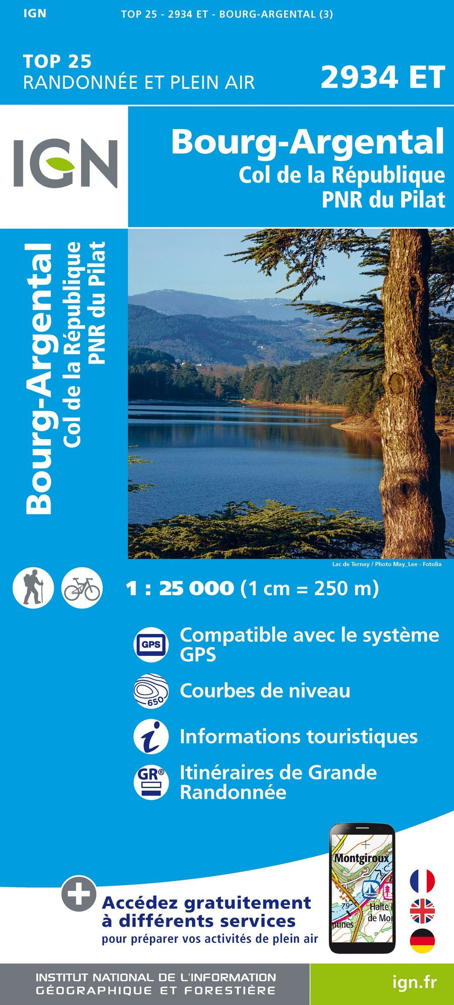
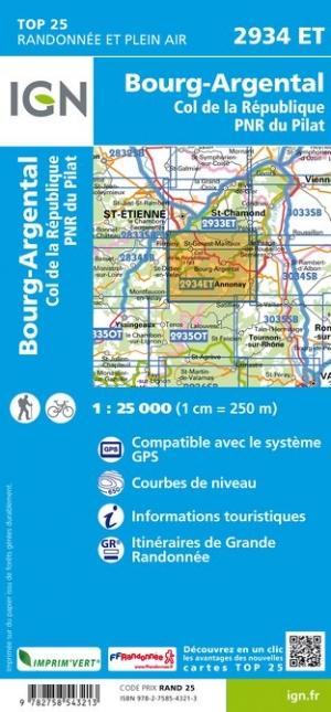
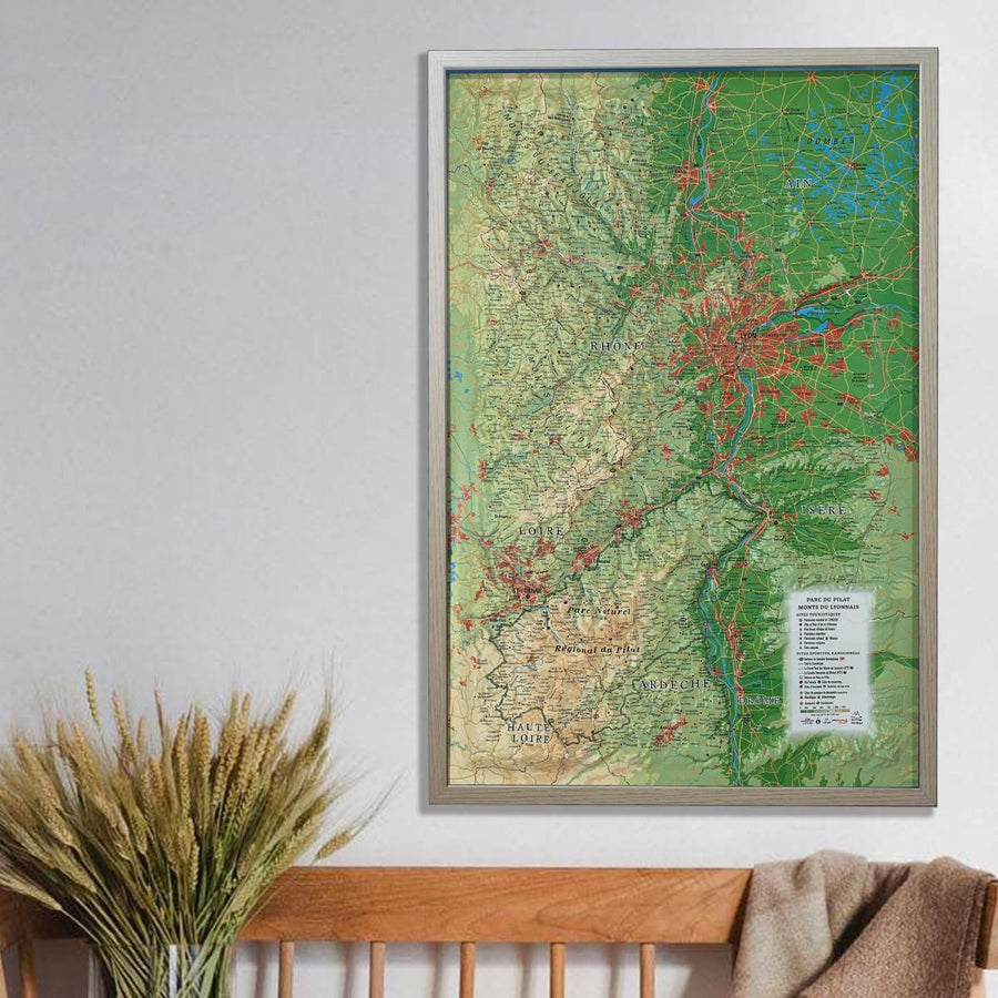
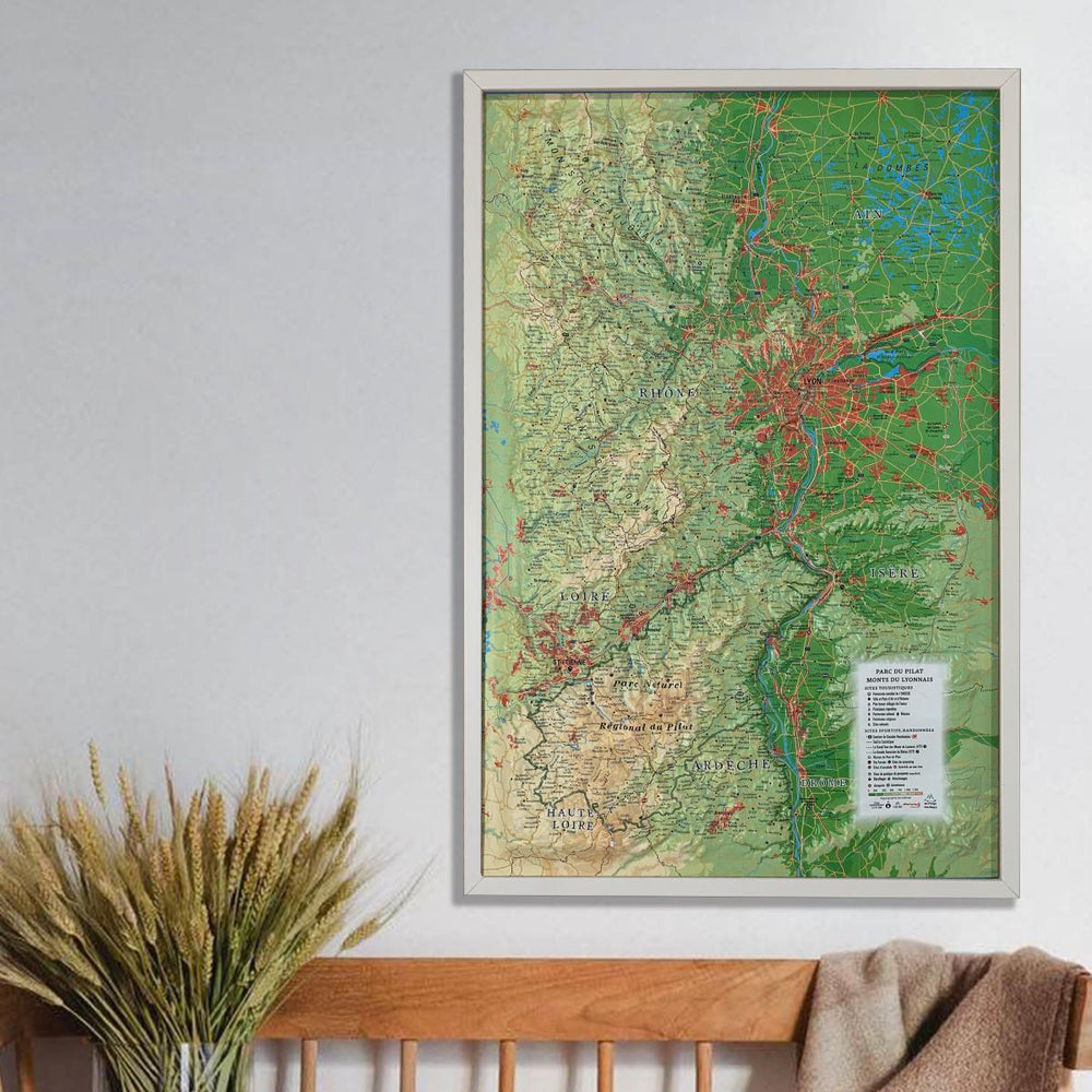
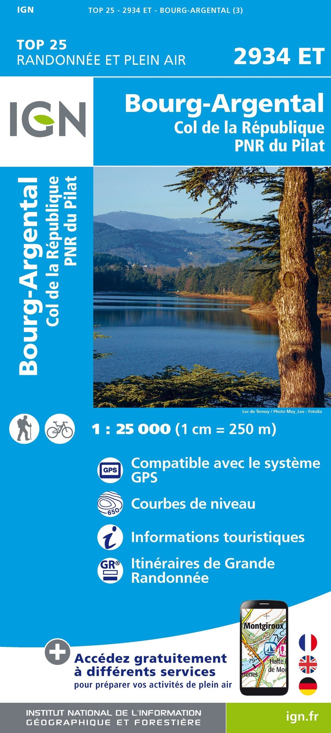
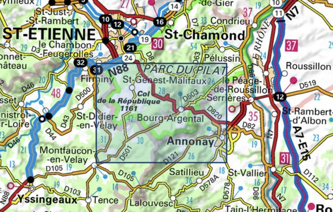
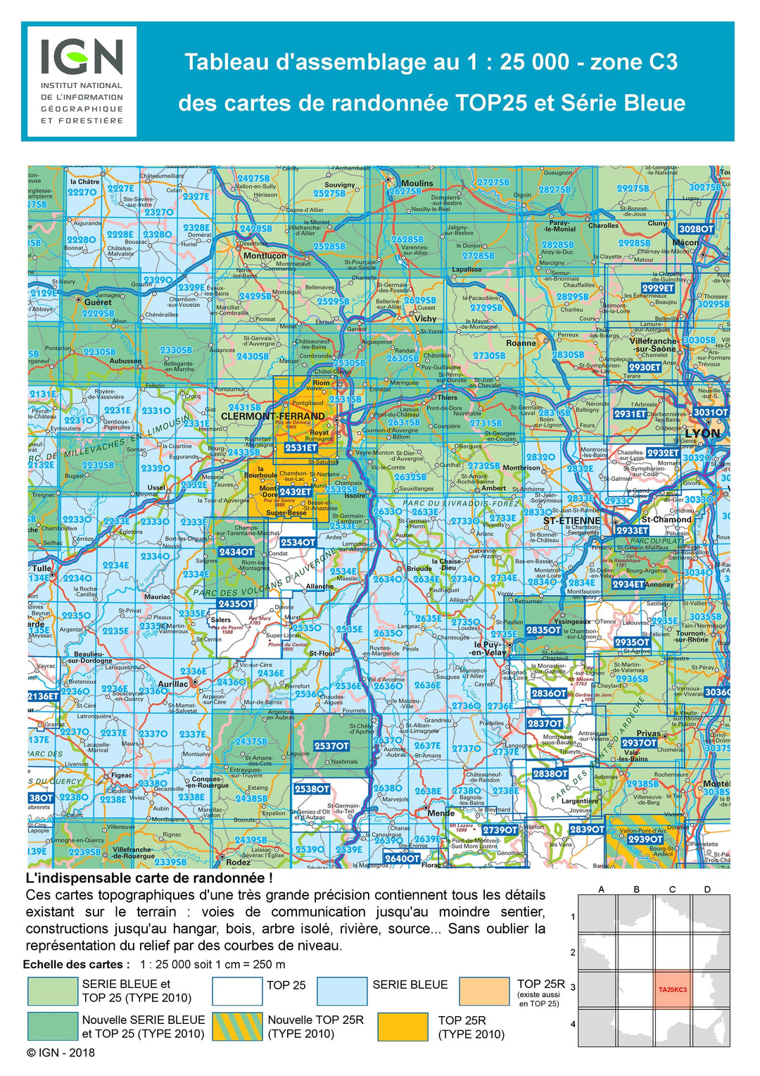
Carte TOP 25 n° 2934 ET - Bourg-Argental, Col de la République, PNR du Pilat | IGN carte pliée IGN
Carte TOP 25 n° 2934 ET - Bourg-Argental, Col de la République, PNR du Pilat | IGN - La Compagnie des Cartes

Map Top 25 # 2934 ET - Bourg-Argental, Pass of the Republic, PNR du Pilat | IGN

Map Top 25 # 2934 ET - Bourg-Argental, Pass of the Republic, PNR du Pilat | IGN

Regular price $16.00
/
  • Shipping within 24 working hours from our warehouse in France
  • Delivery costs calculated instantly in the basket
  • Free returns (*)
  • Real-time inventory
  • Low stock - 2 items left
  • Backordered, shipping soon
Tax included.
Top 25 Bourg-Argental Topographic Map of the Pass of the Republic, and the Pilat Regional Natural Park edited by IGN. Hiking Map with space curves spaced 10 meters and detailed legend (vegetation, rocks, streams etc ...). Indication of hiking trails. Scale 1/25 000 (1 cm = 250 m).


ISBN/EAN : 9782758543213
Publication date: 2018
Scale: 1/25,000 (1cm=250m)
Printed sides: front
Folded dimensions: 23.6 x 11.2 x 0.5cm
Unfolded dimensions: 96 x 132cm
Language(s): French, English, German
Poids : 89 g

Customer Reviews

Based on 1 review
100%
(1)
0%
(0)
0%
(0)
0%
(0)
0%
(0)
c
catherine g.
Parfait

Satisfaite je peux partir visiter cette région tranquillement