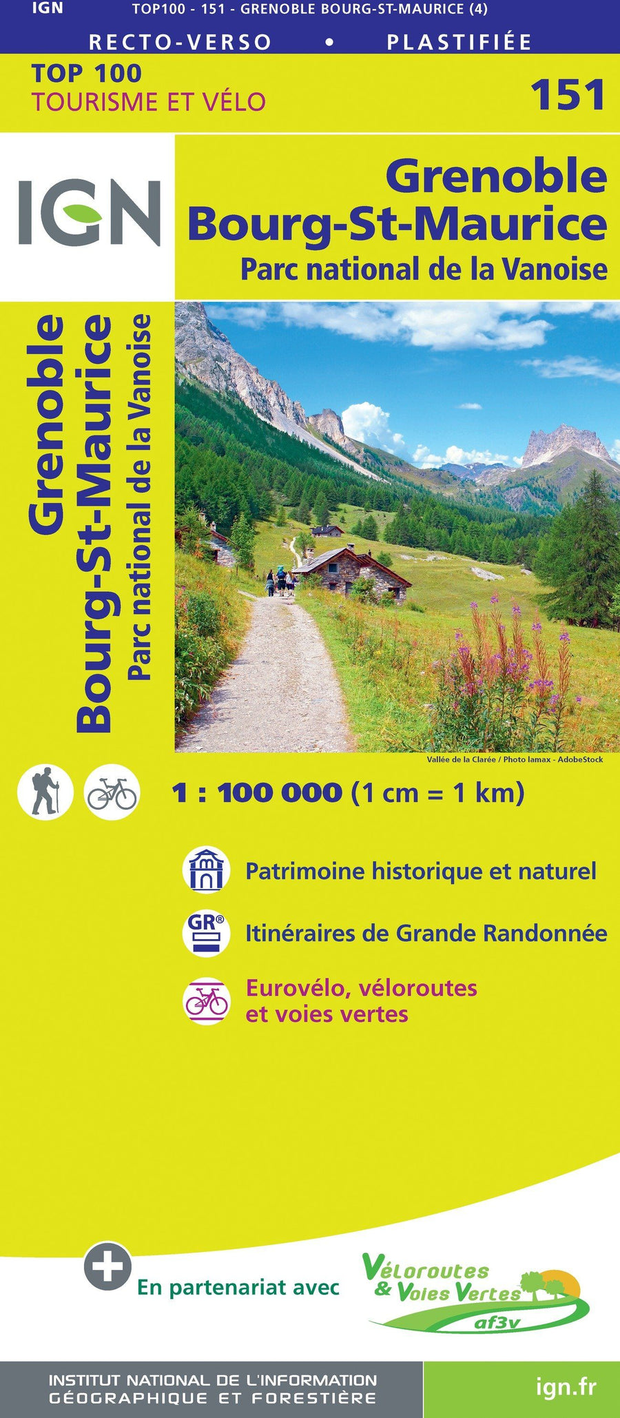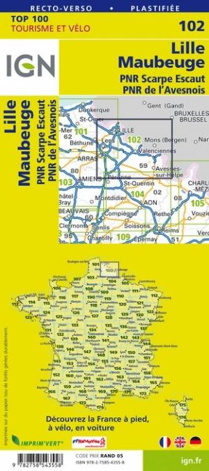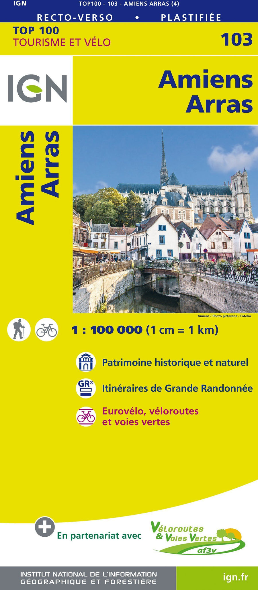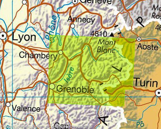
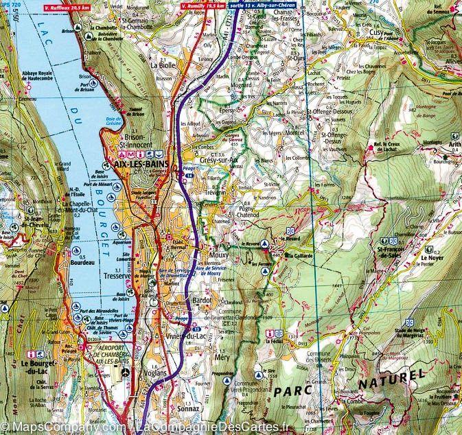

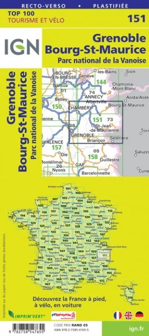


Top 100 Map ° 151 - Grenoble, Bourg-St-Maurice & Vanoise National Park | IGN
Top 100 Map ° 151 - Grenoble, Bourg-St-Maurice & Vanoise National Park | IGN
Regular price
$10.00
- Shipping within 24 working hours from our warehouse in France
- Delivery costs calculated instantly in the basket
- Free returns (*)
- Real-time inventory
- Low stock - 1 item left
Related geographic locations and collections: Auvergne-Rhône-Alpes, Bourg-Saint-Maurice, Chambery, Grenoble, IGN TOP 100 - Touristic maps of France, Isère (department 38), Savoie, Vanoise National Park