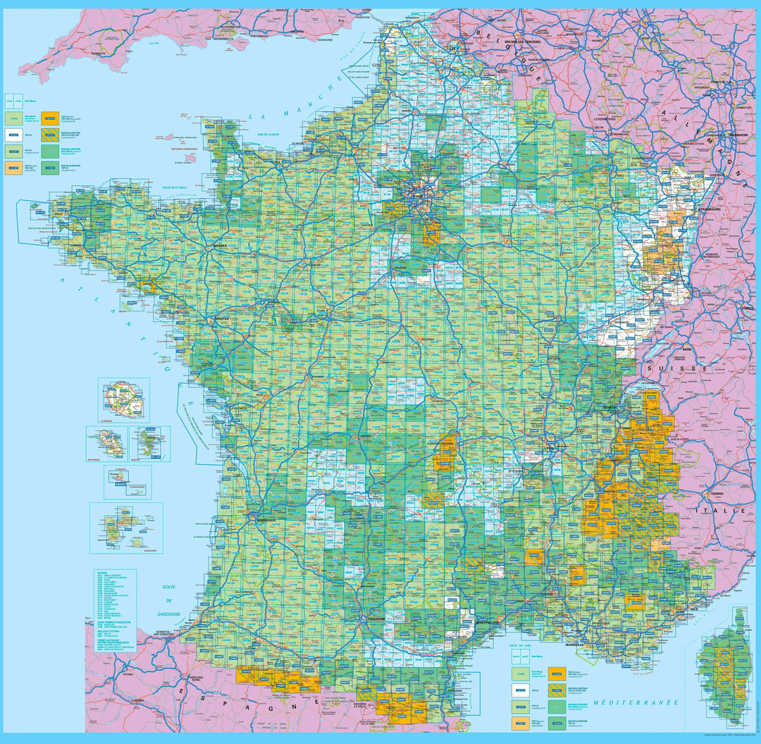
France hiking maps - IGN TOP 25 & SÉRIE BLEUE
483 products
483 products
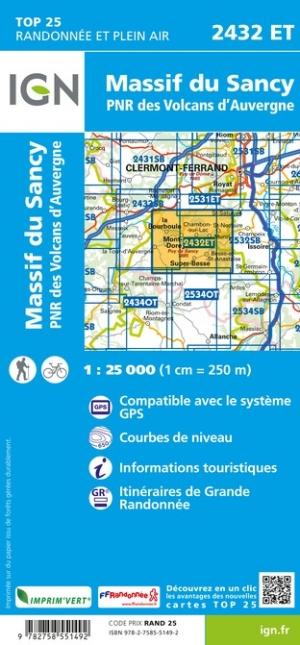
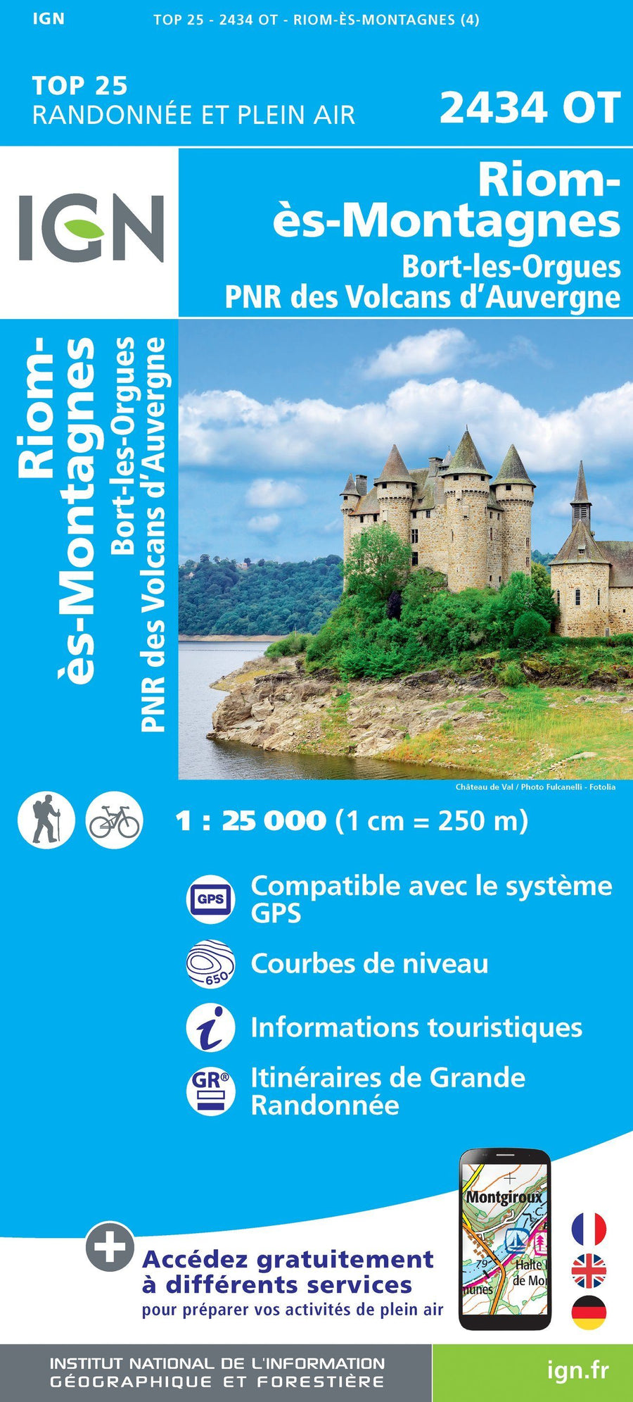
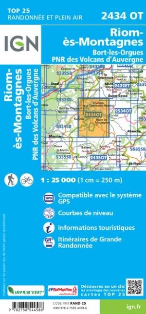
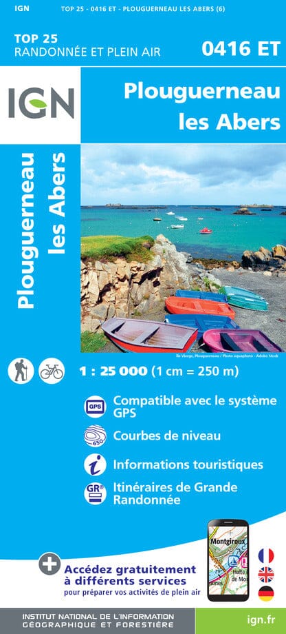
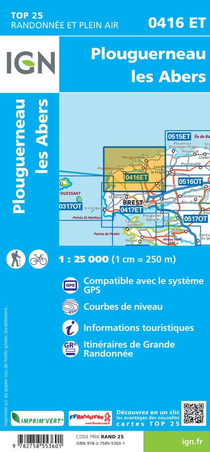
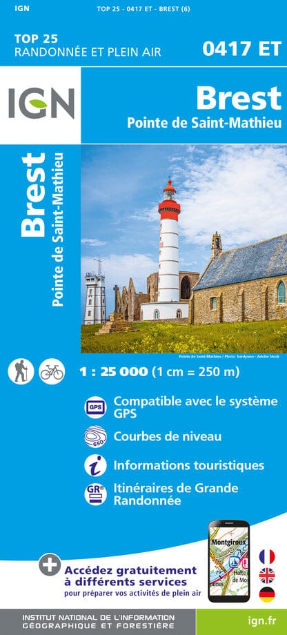
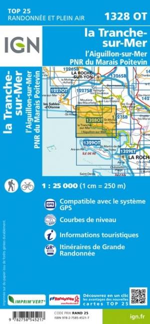
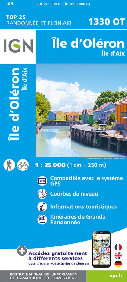
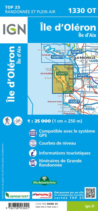
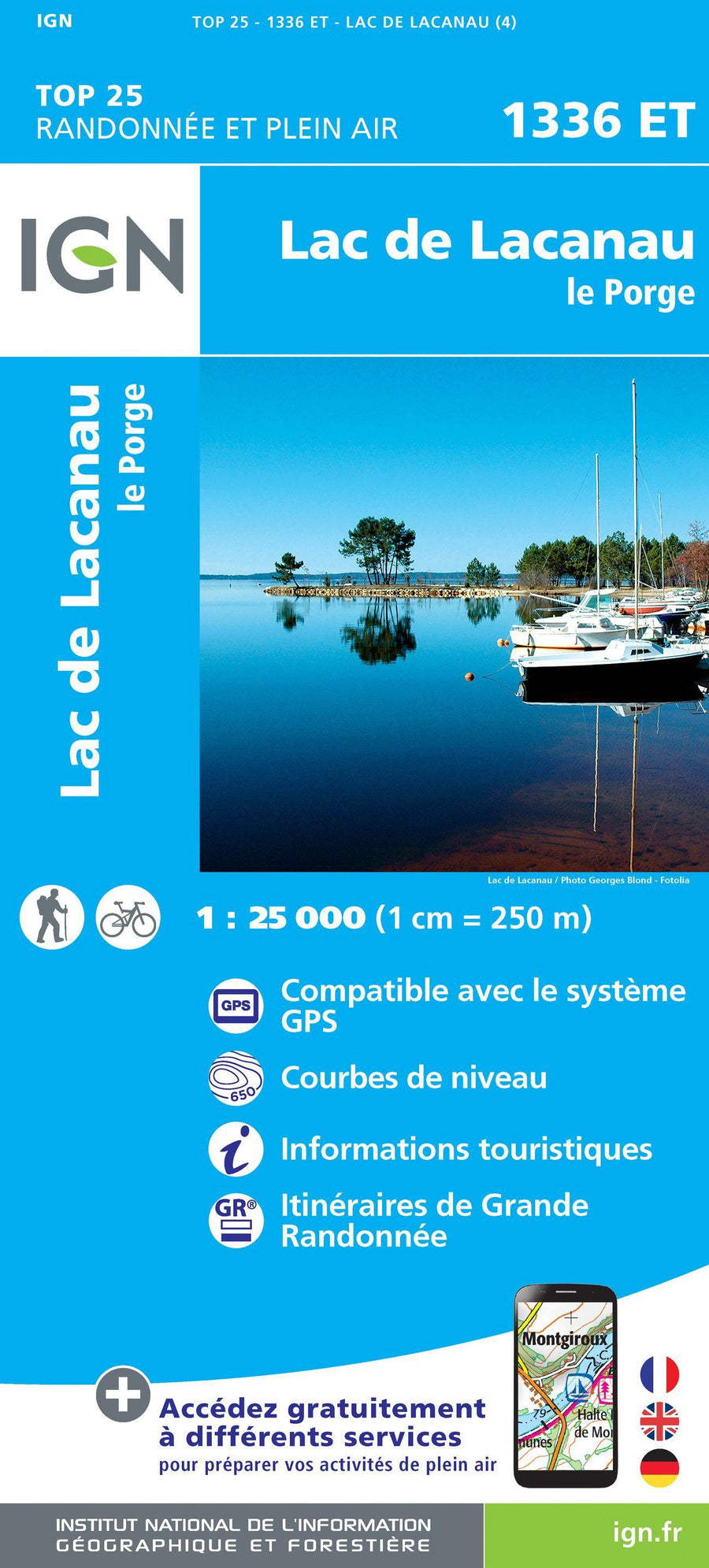
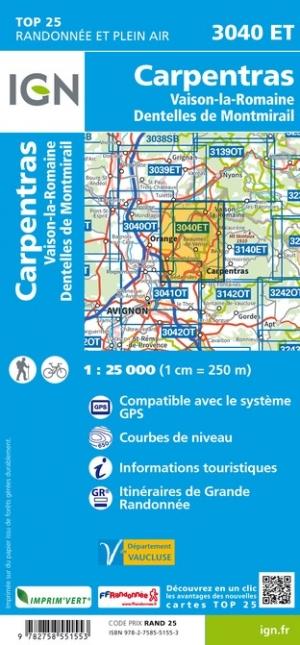
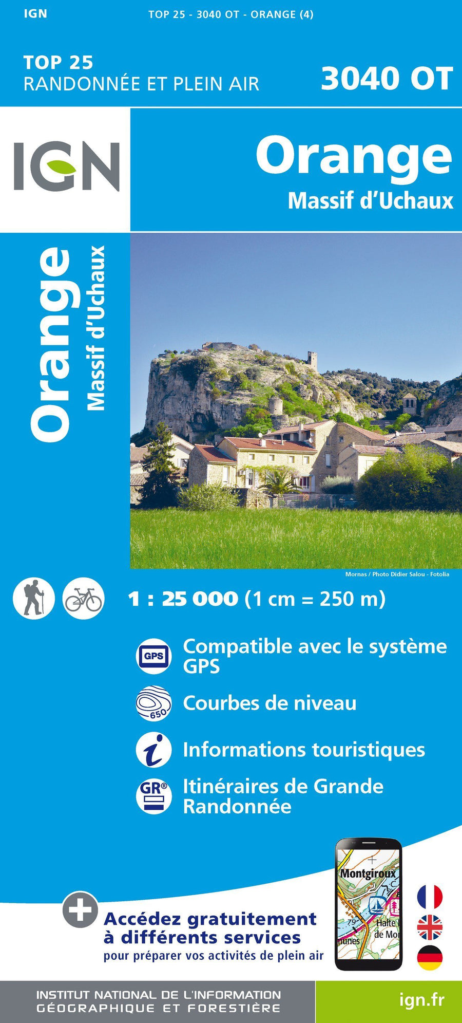
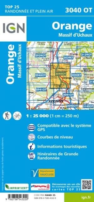
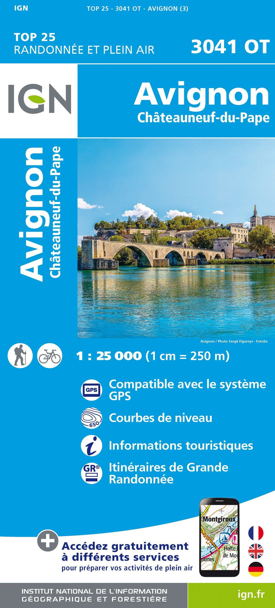
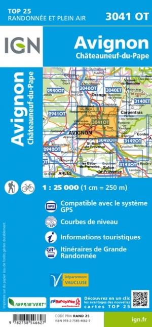
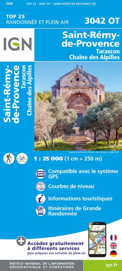
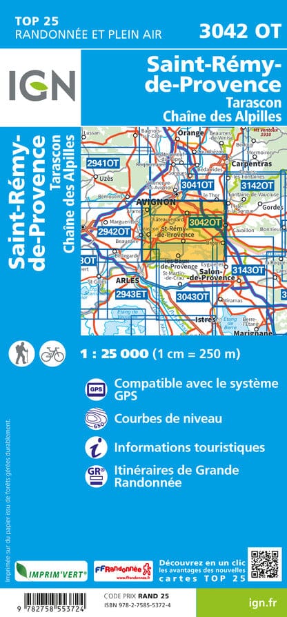
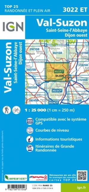
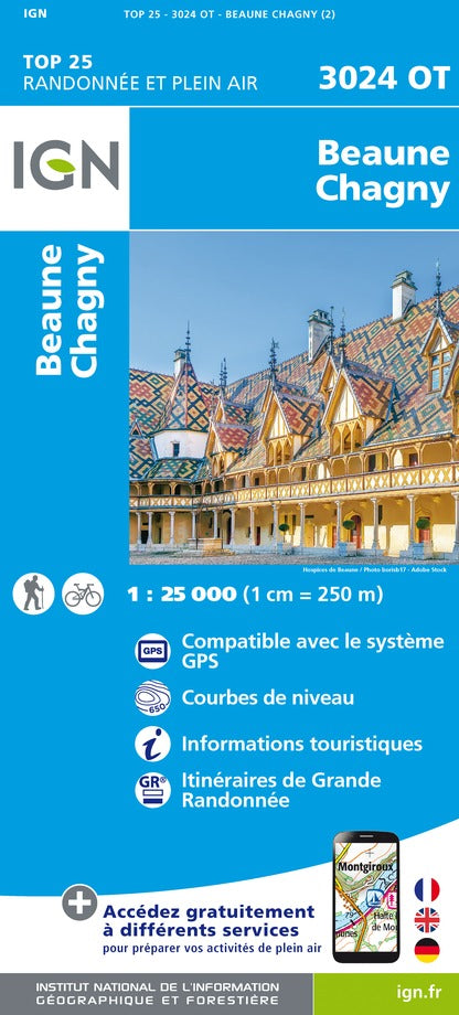
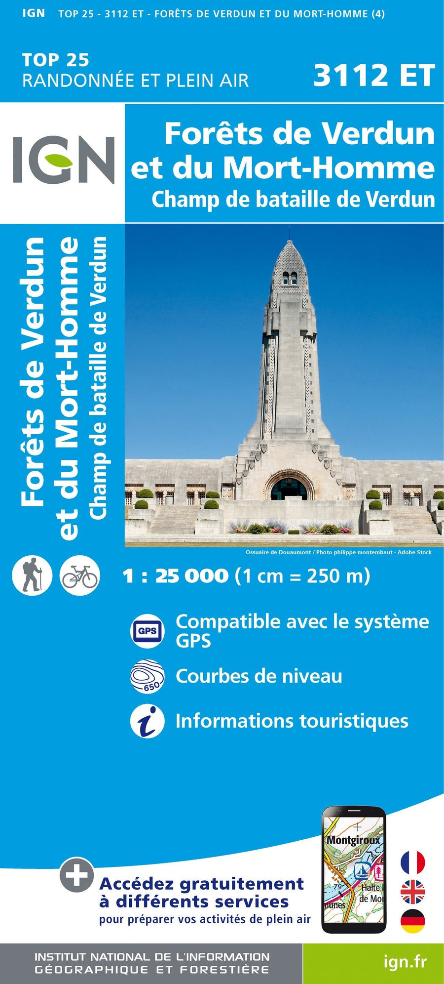
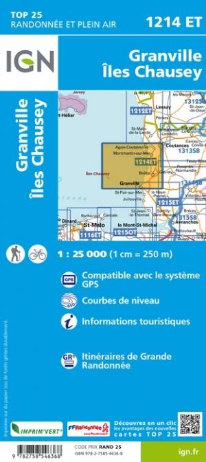
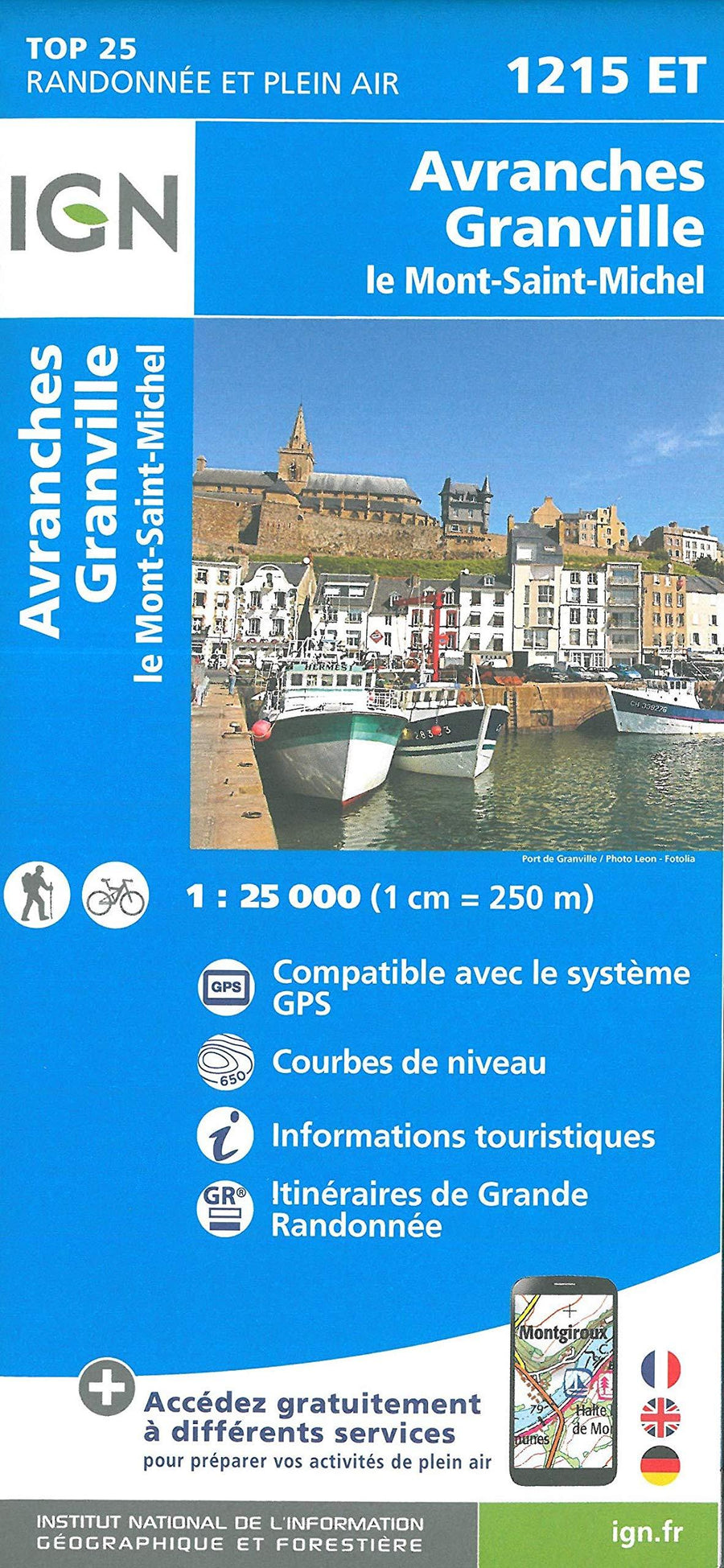
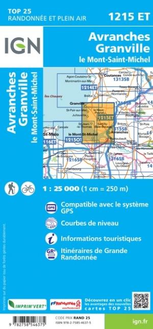
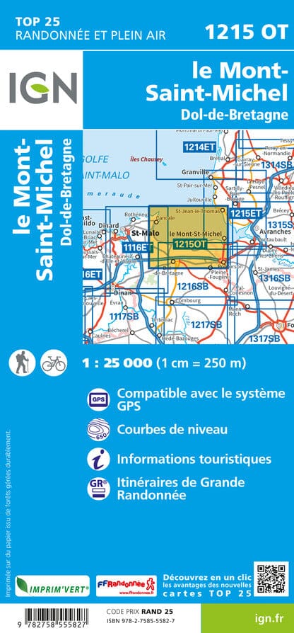
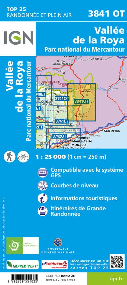
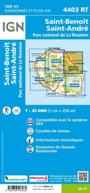
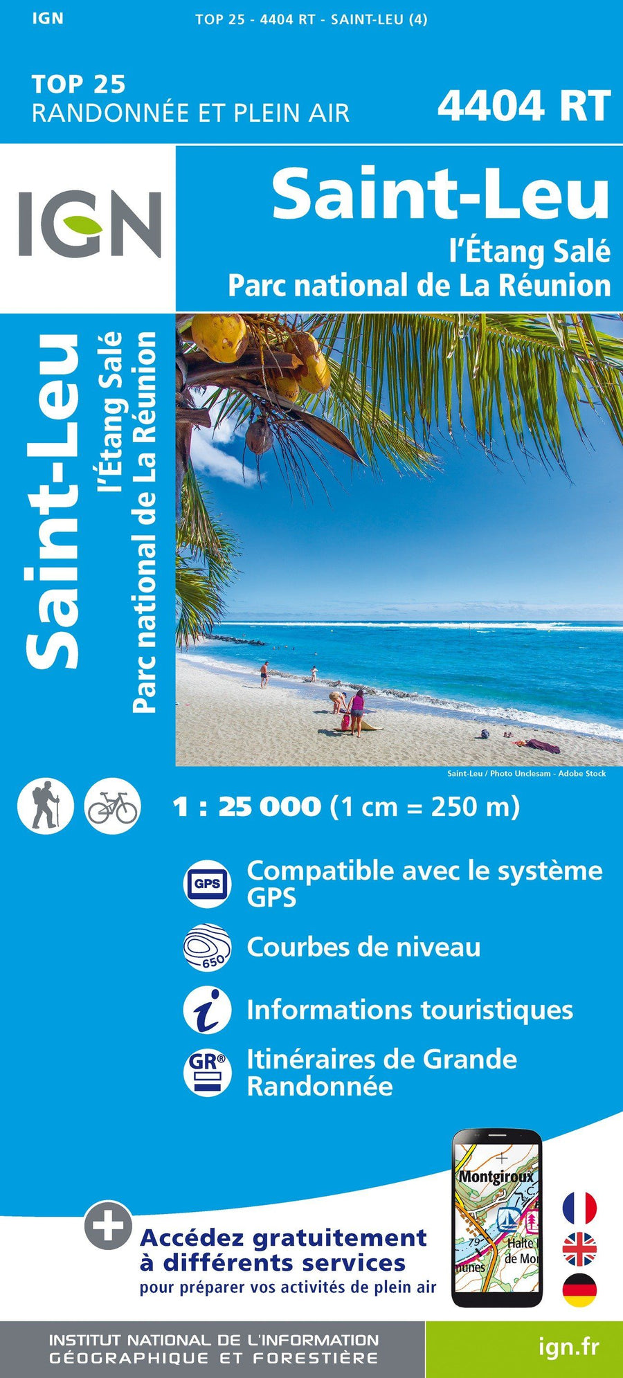
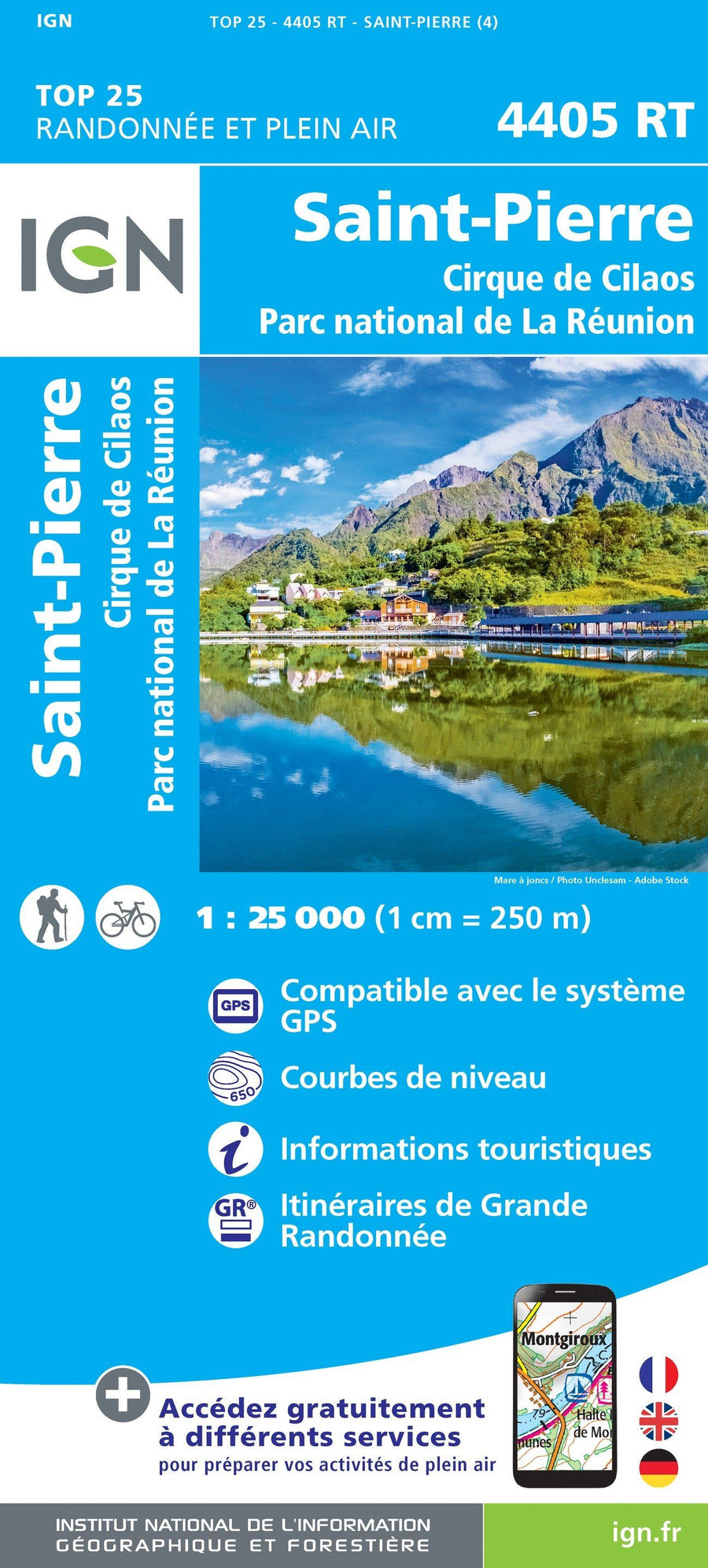
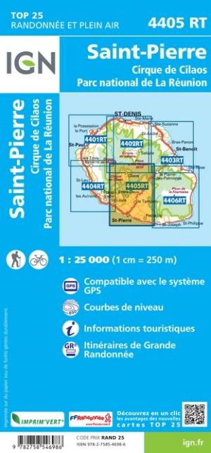
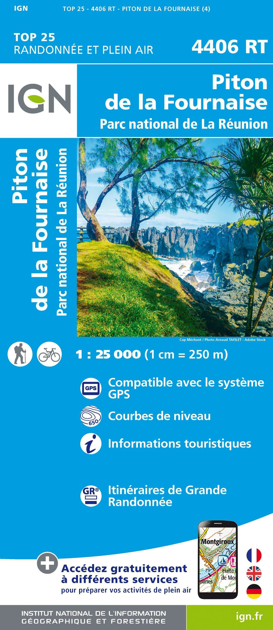
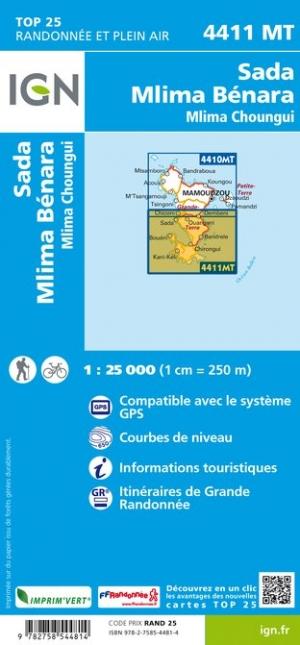
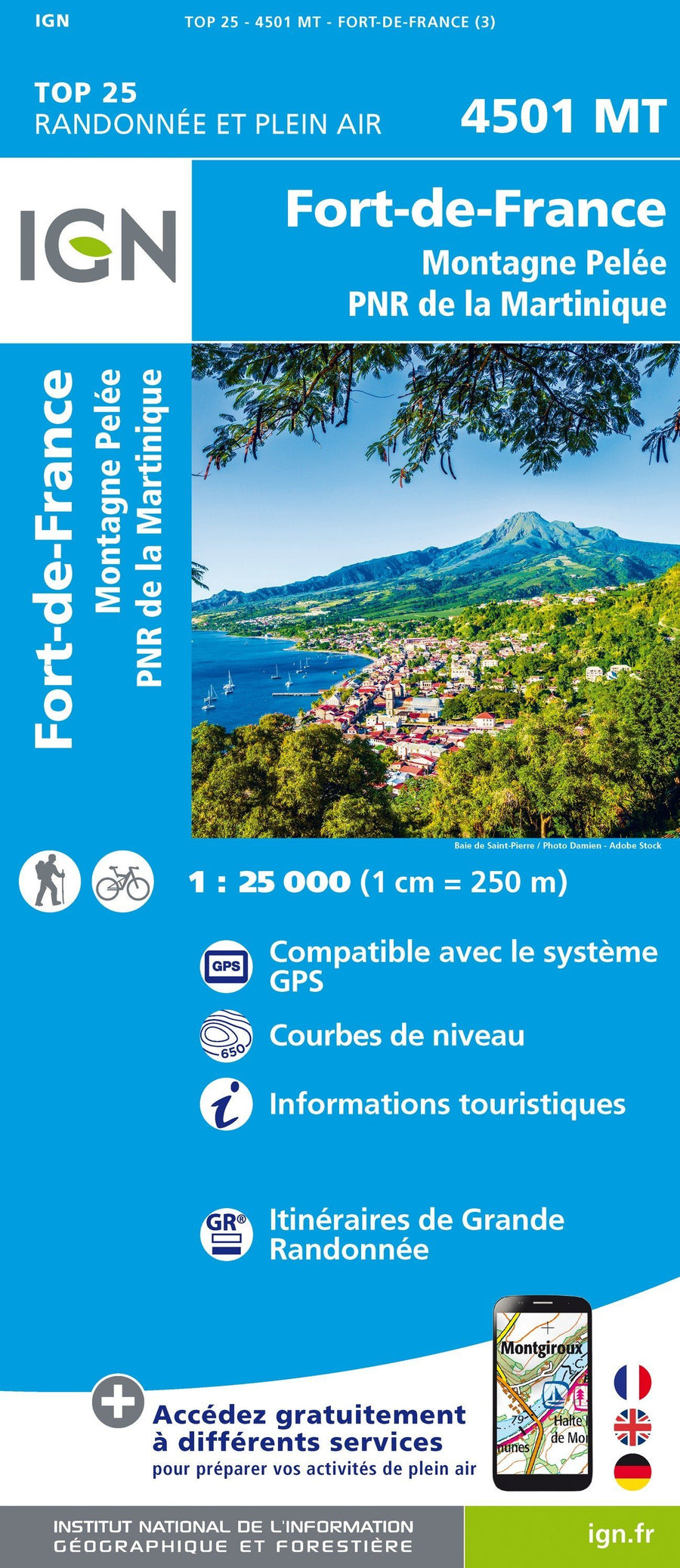
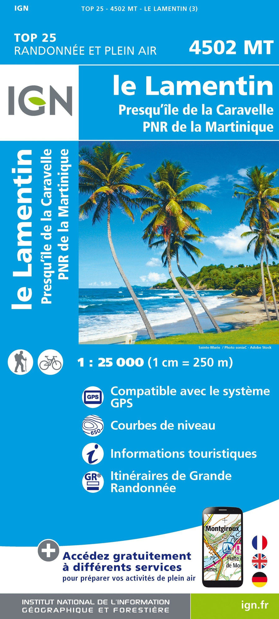
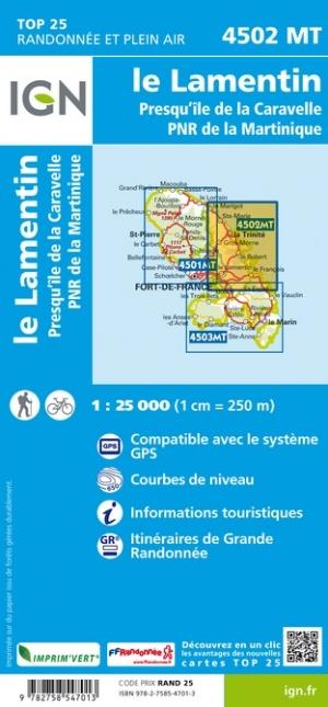
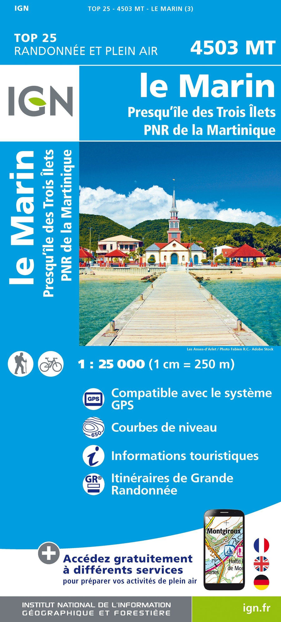
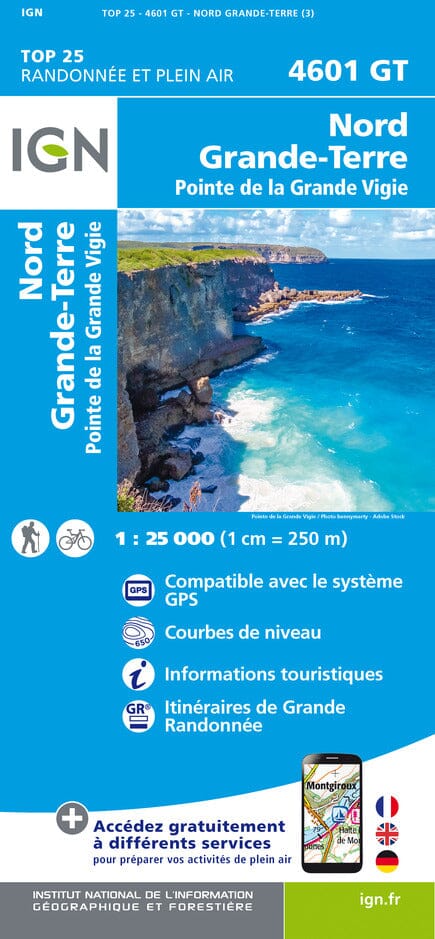
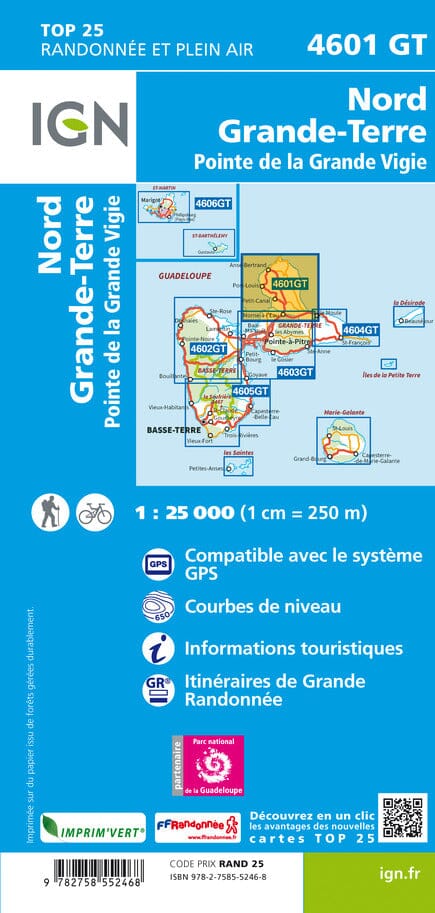
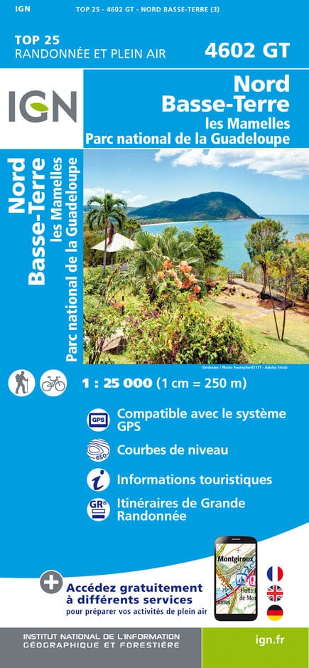
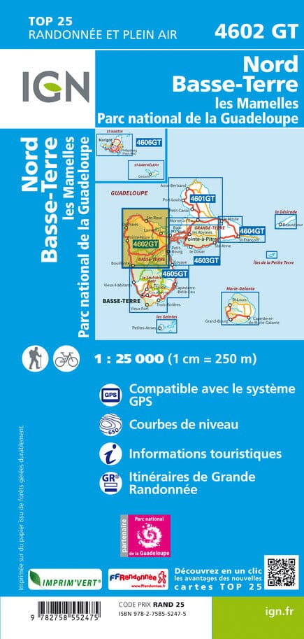
Local trails, long-distance GR routes are highlighted. The level curves of which indicated. The rest of France is covered by the "Série Bleue" which has no special additional indications to indicate the trails. Each "Blue Series" map covers an area of approximately 20 x 14 km.
IGN - Alps - TOP 25 hiking maps
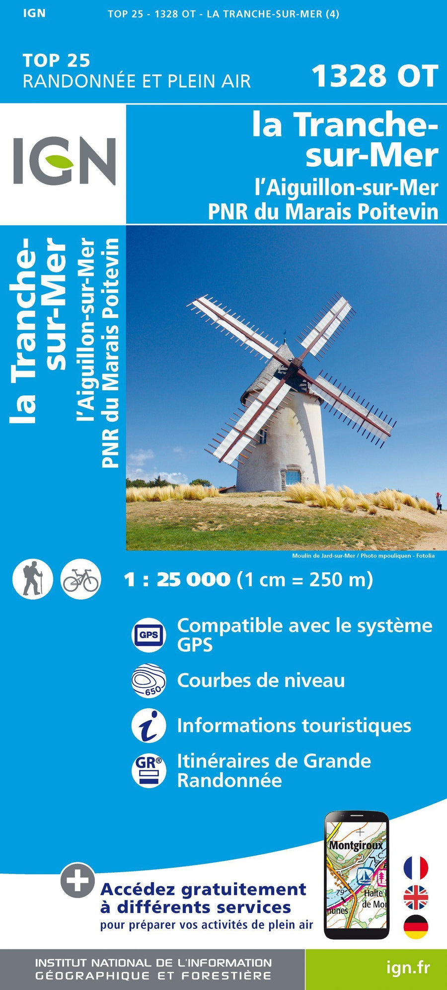
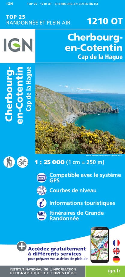
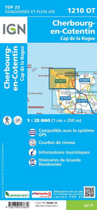
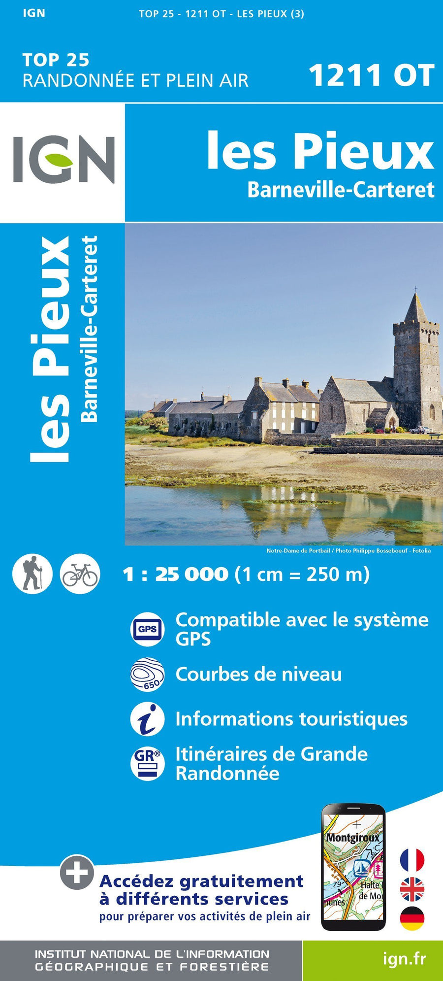
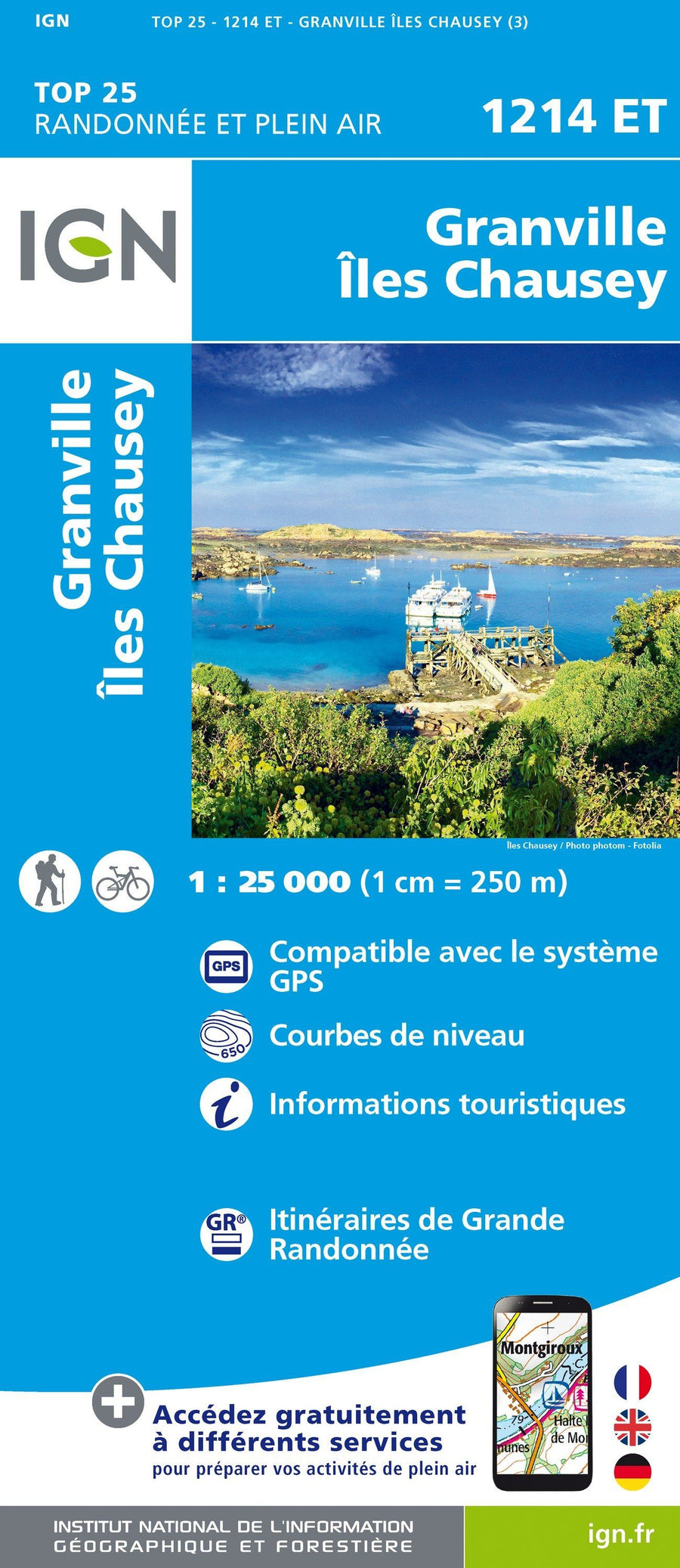
IGN - North-West of France & Normandy - TOP 25 hiking maps
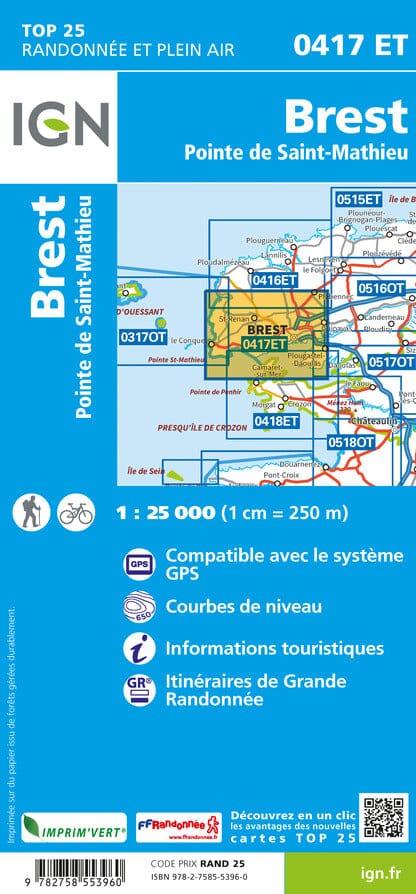
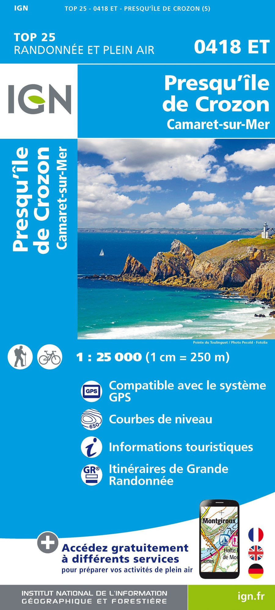
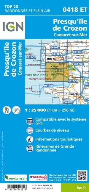
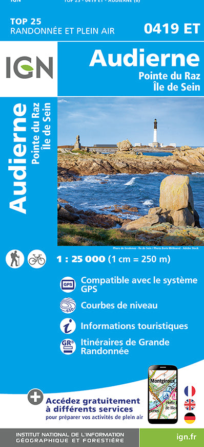
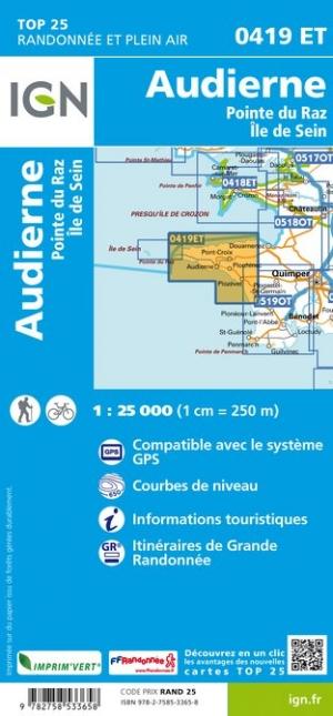
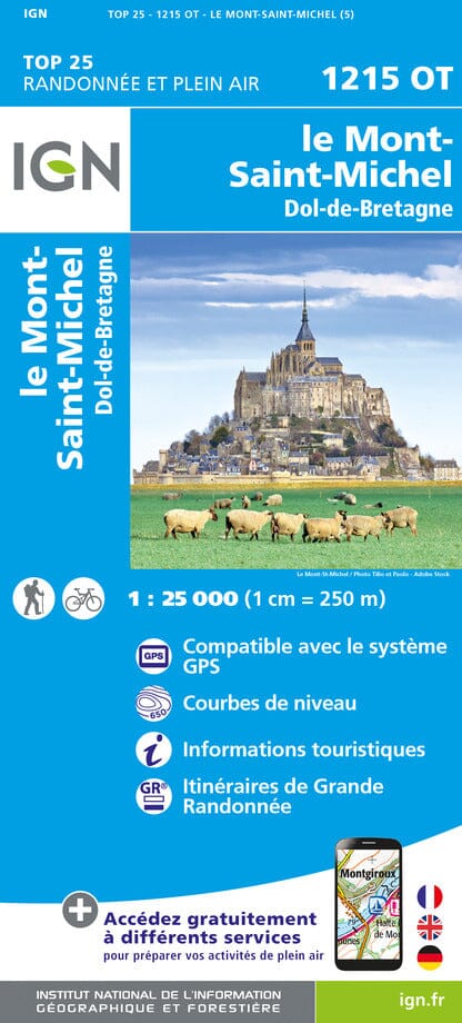
IGN - Brittany - TOP 25 hiking maps
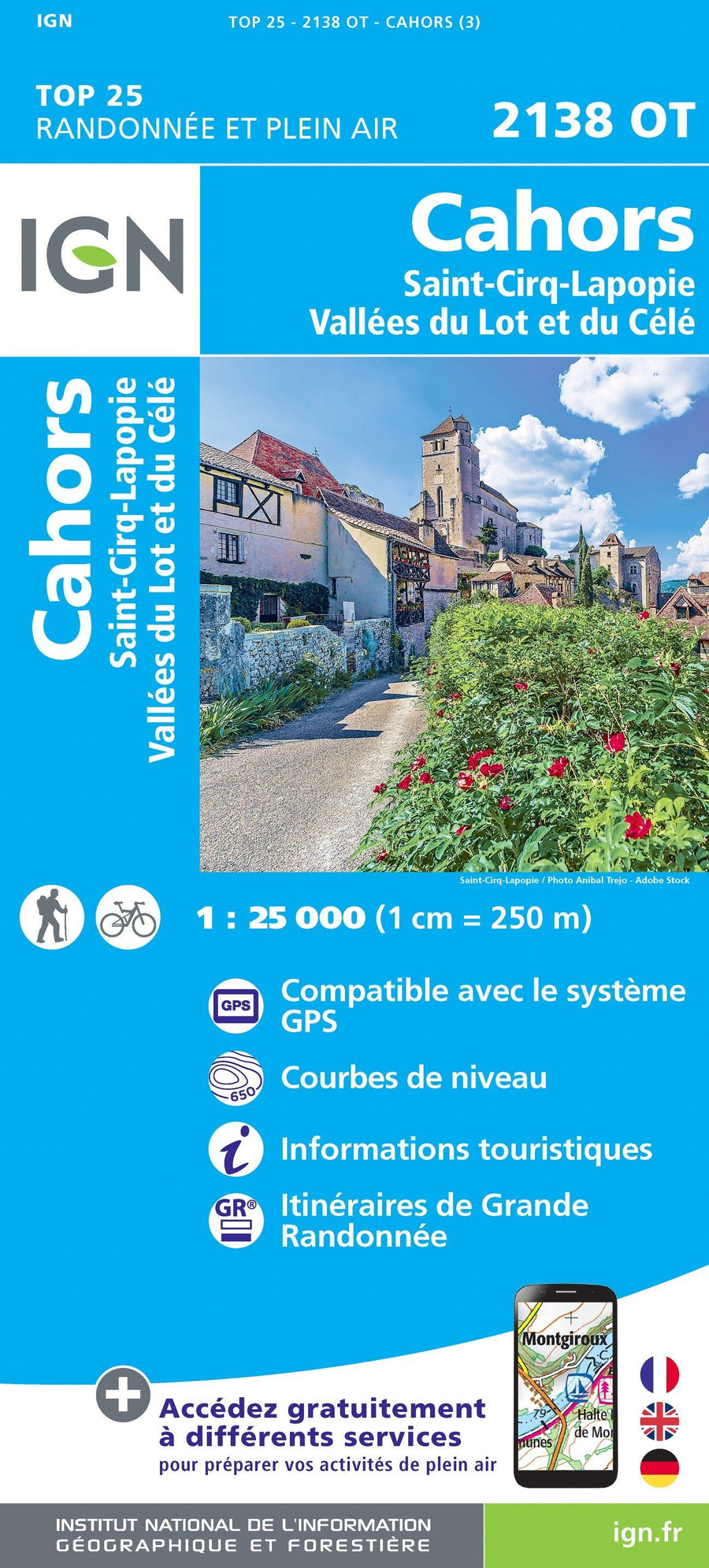
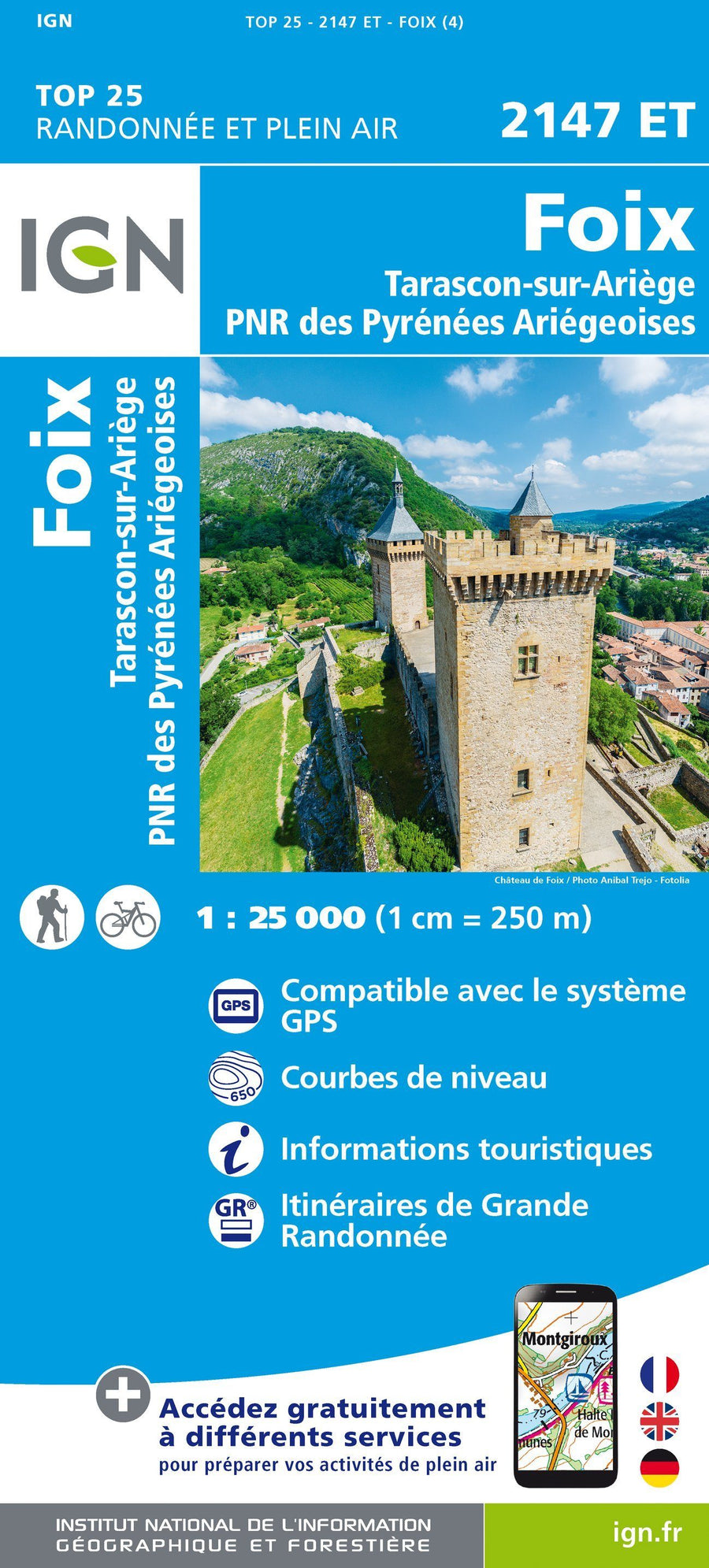
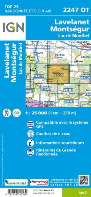
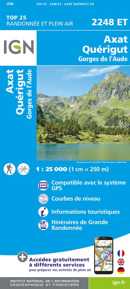
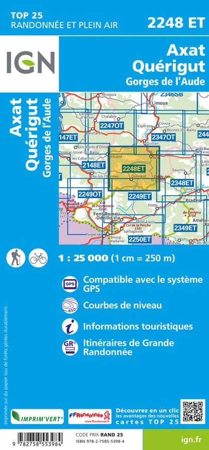
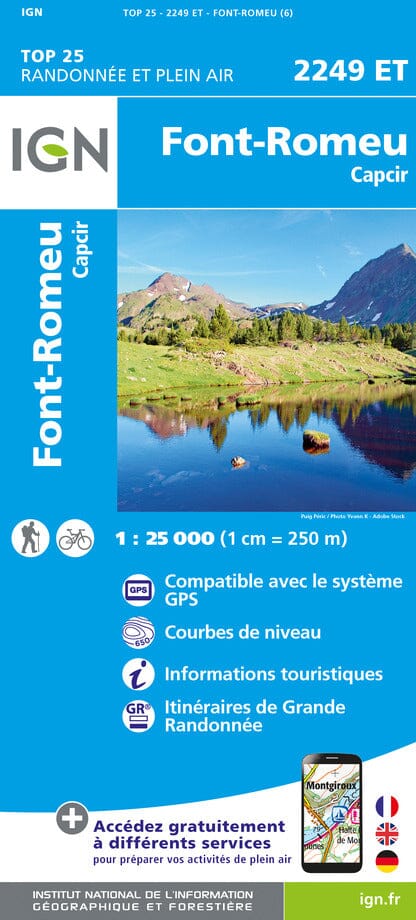
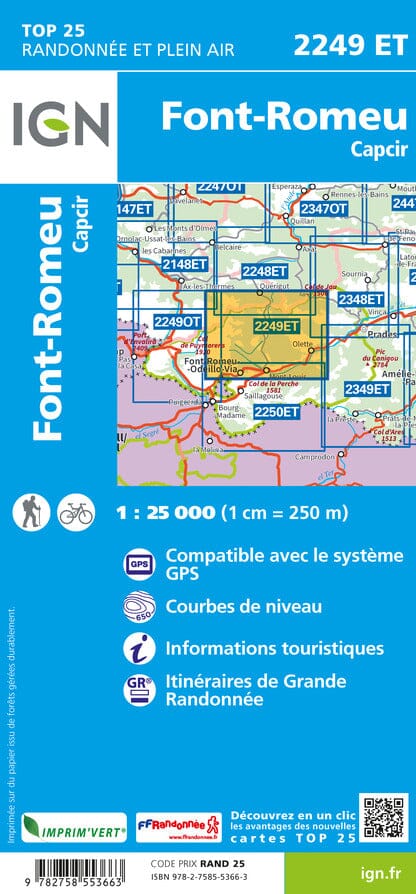
IGN - Occitanie - TOP 25 hiking maps
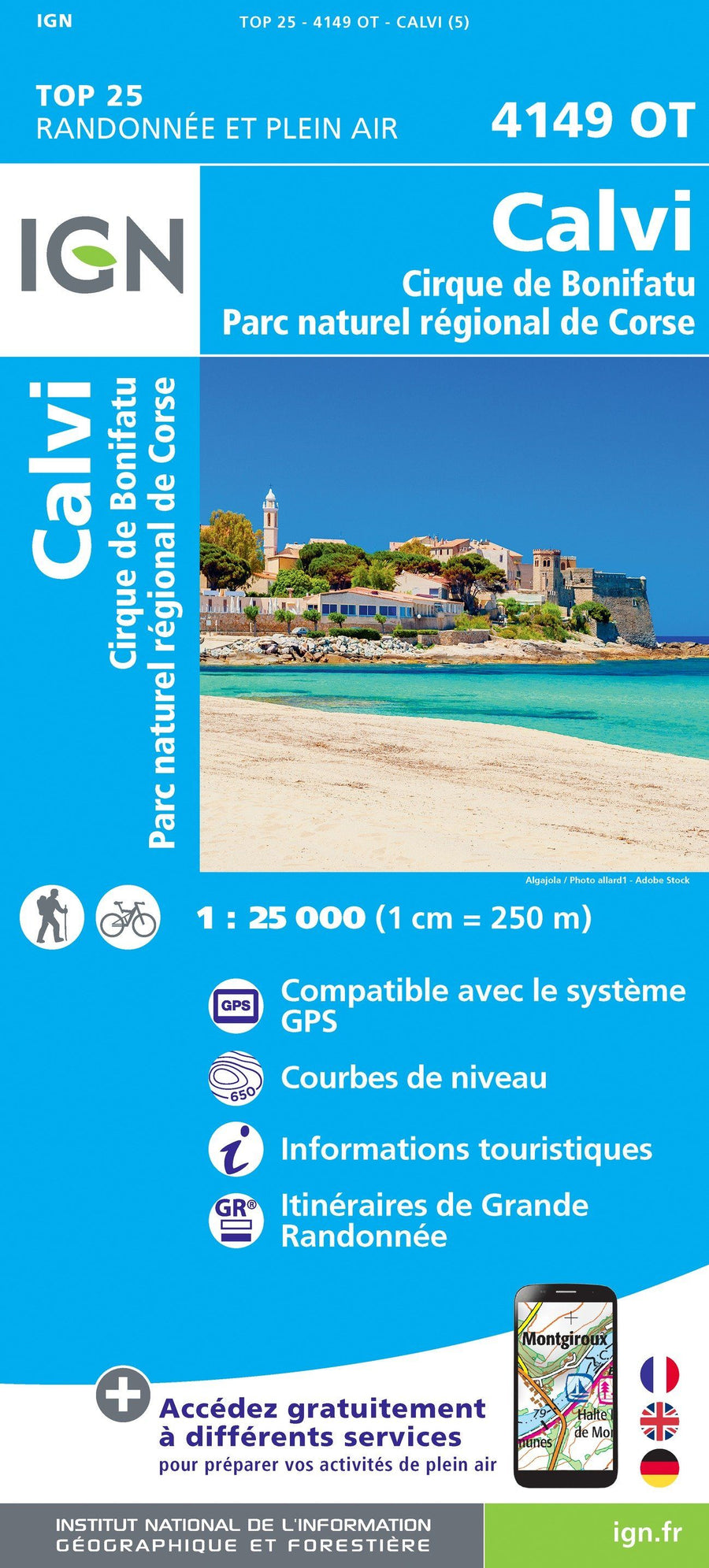
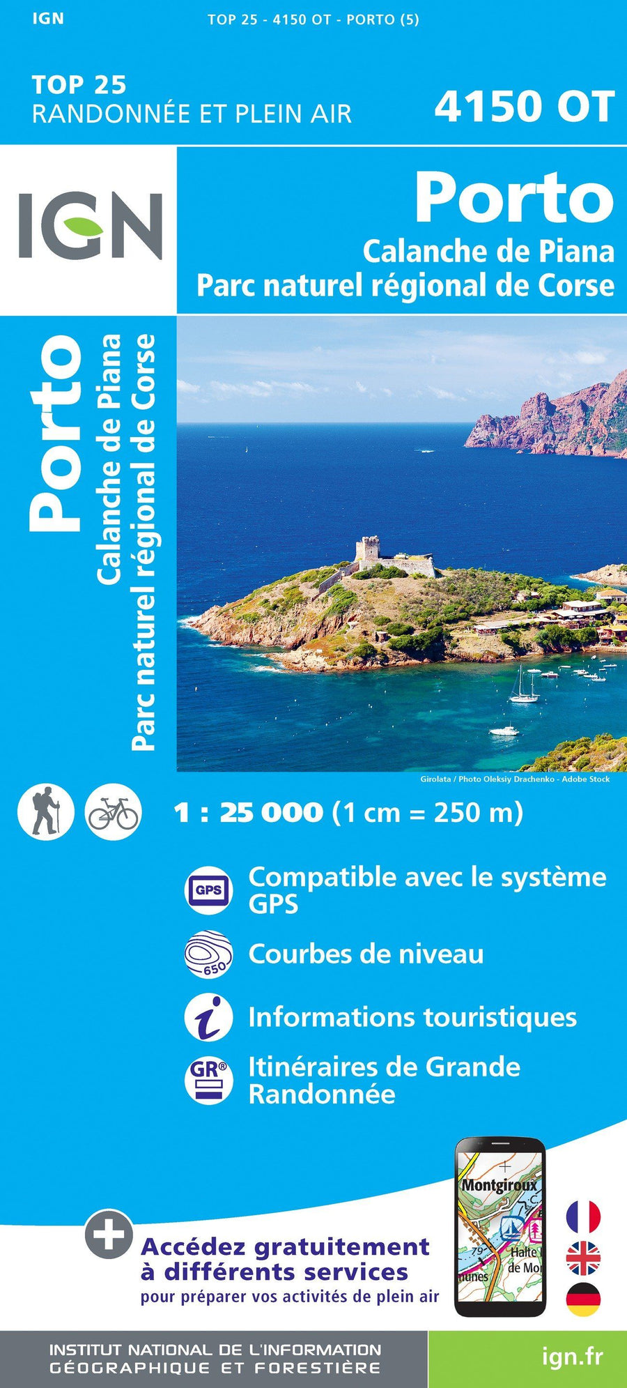
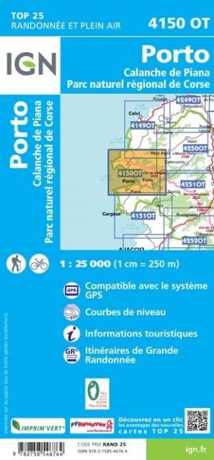
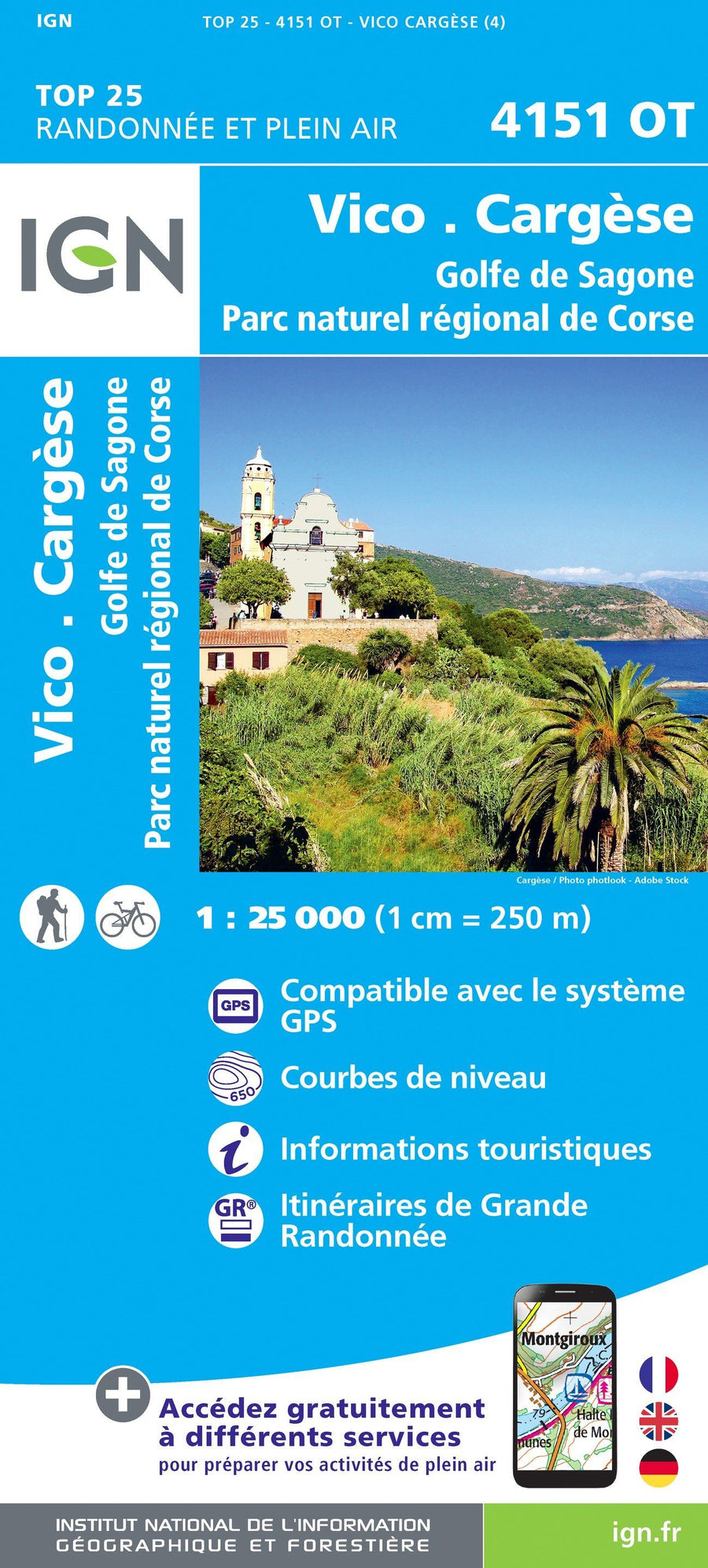
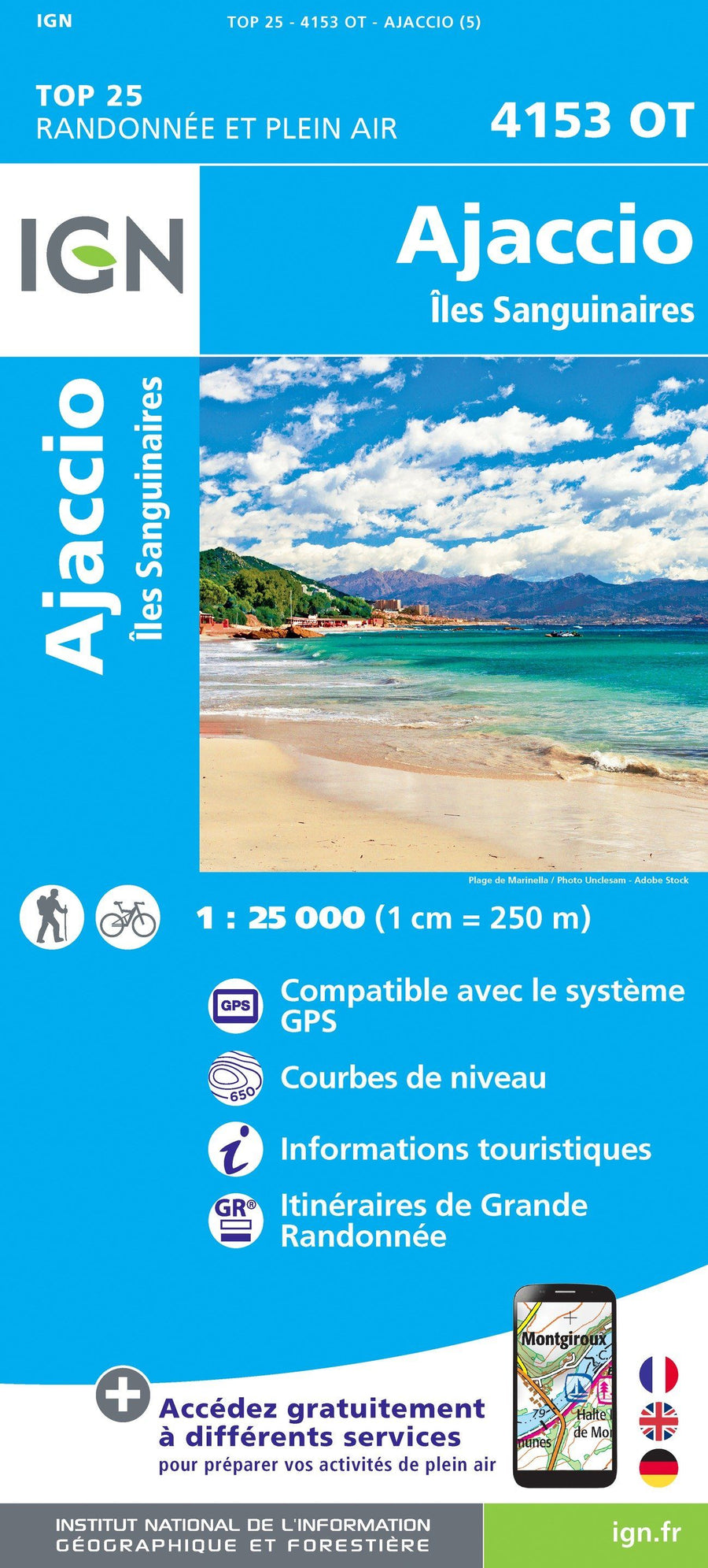
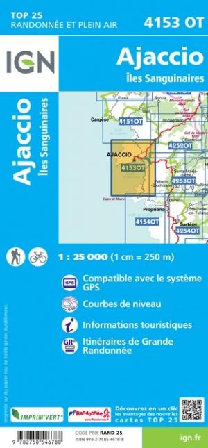
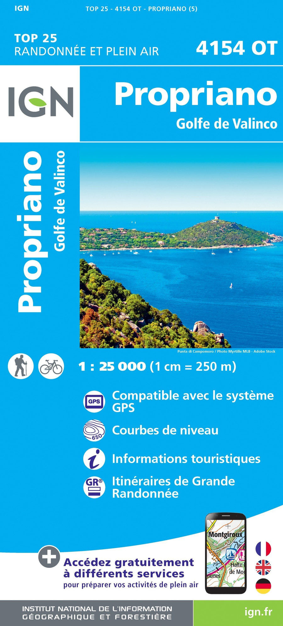
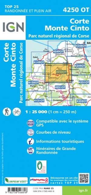
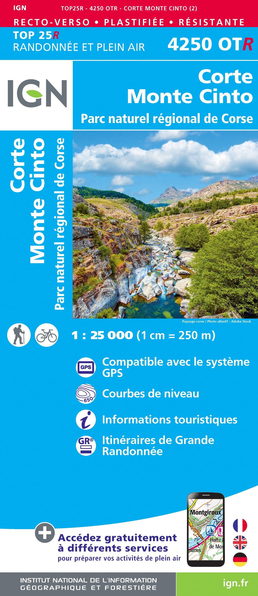
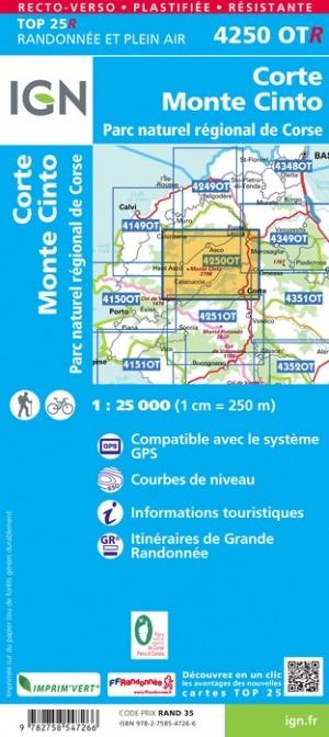
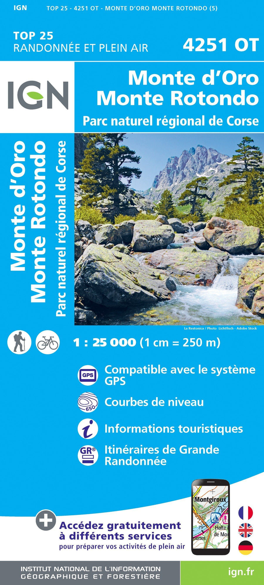
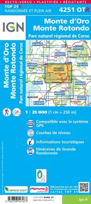
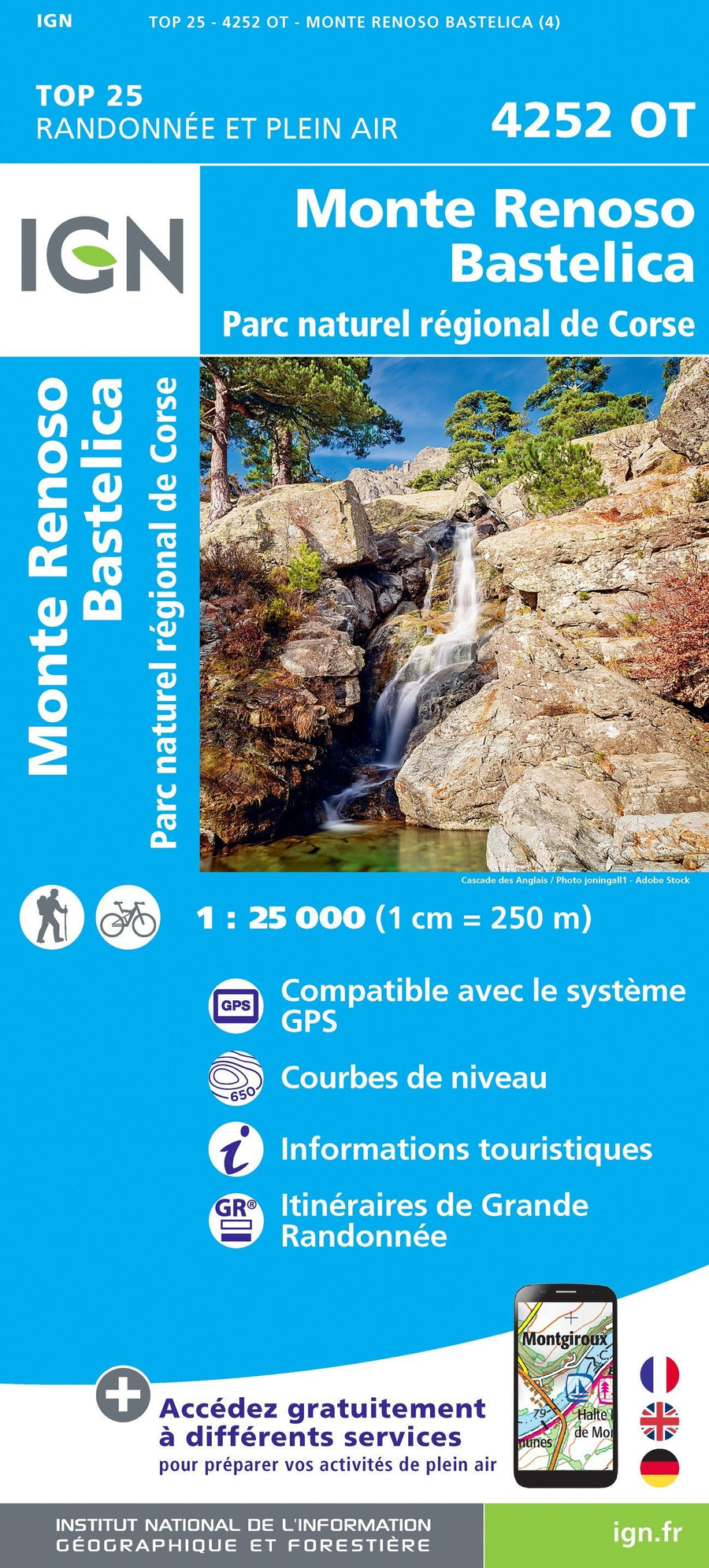
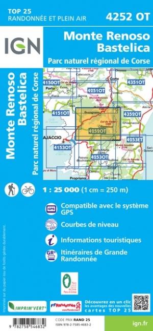
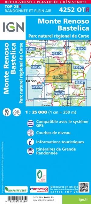
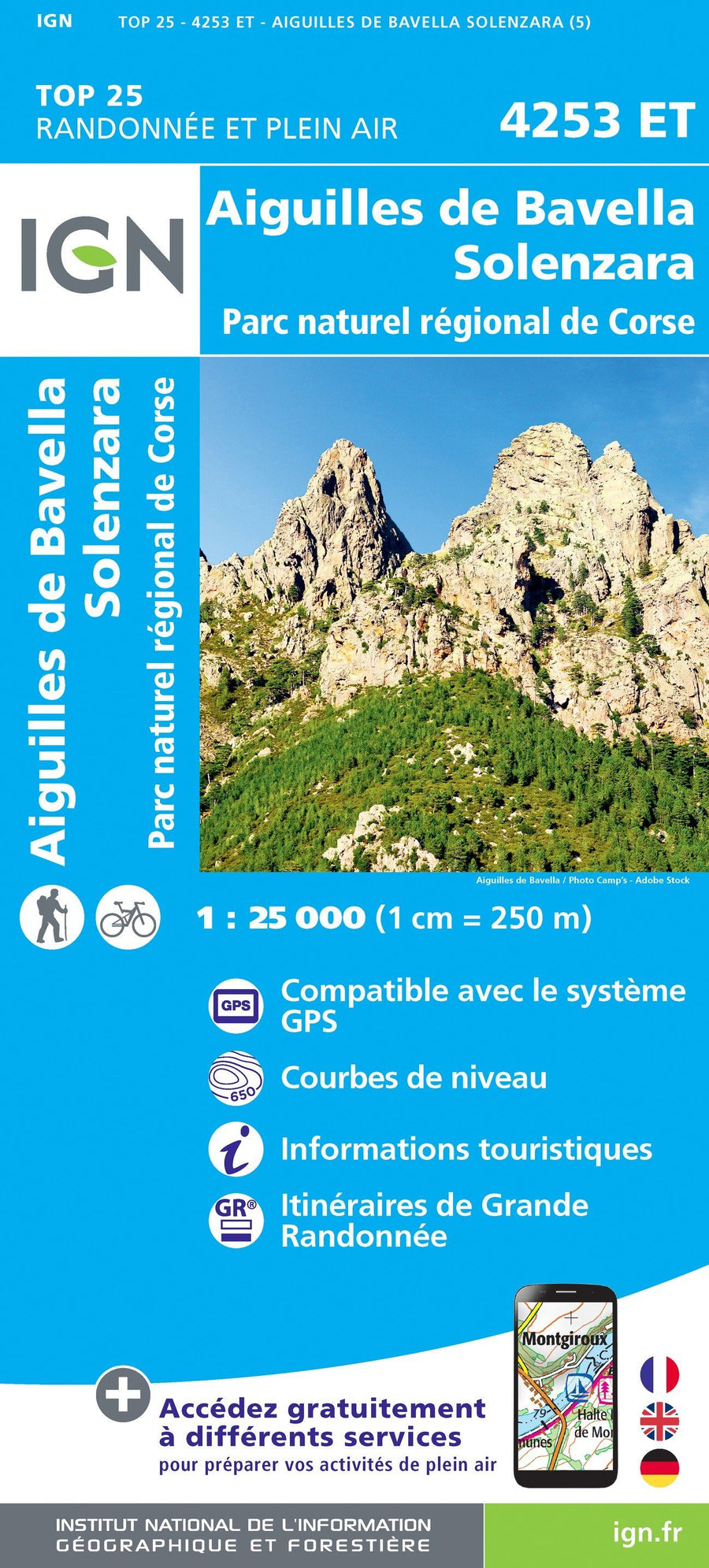
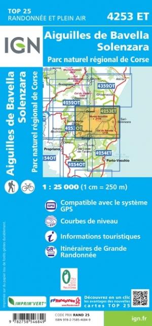
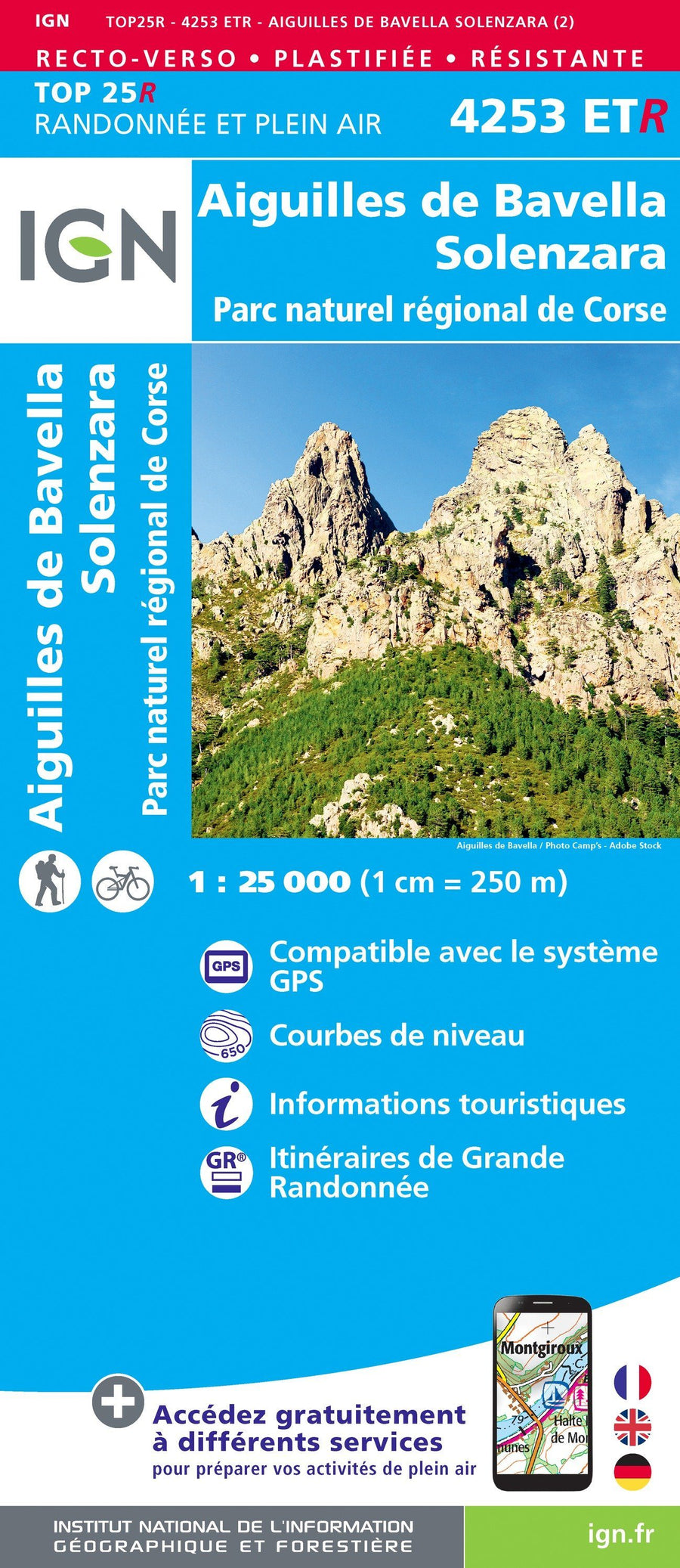
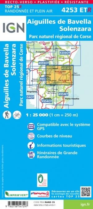
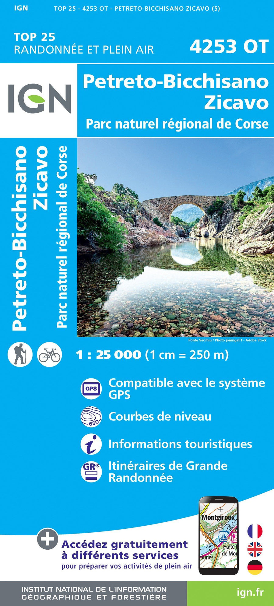
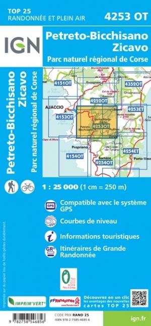
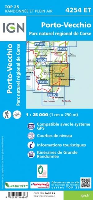
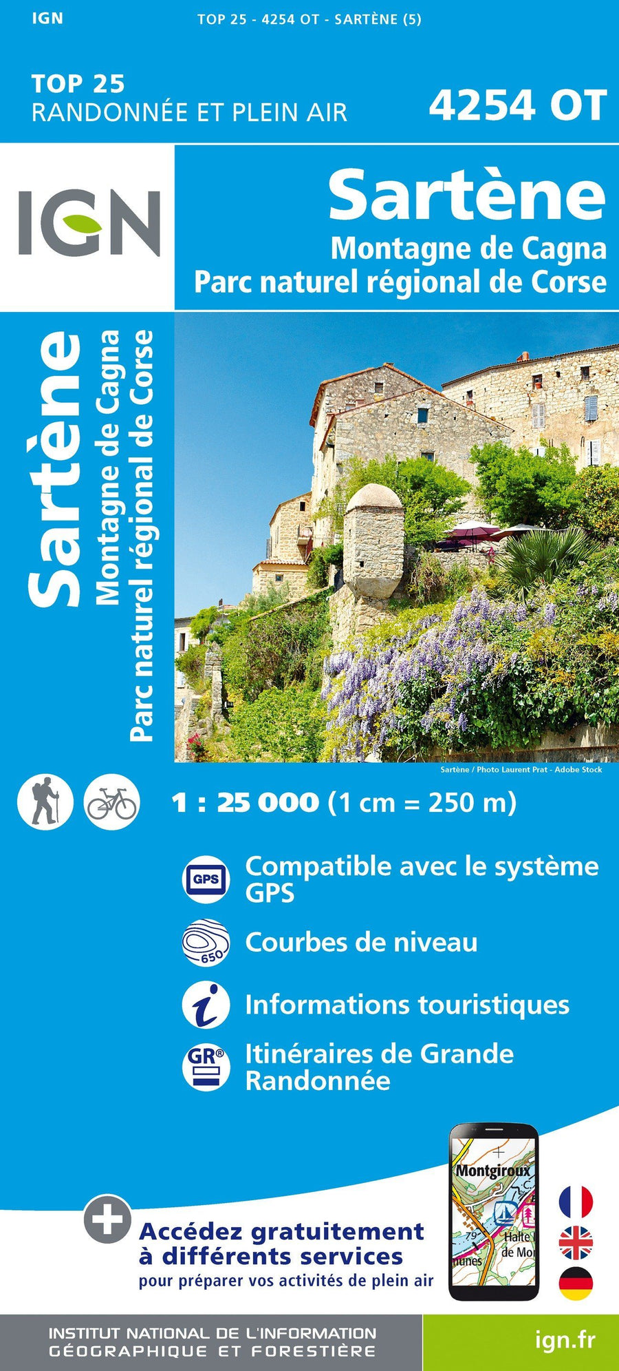
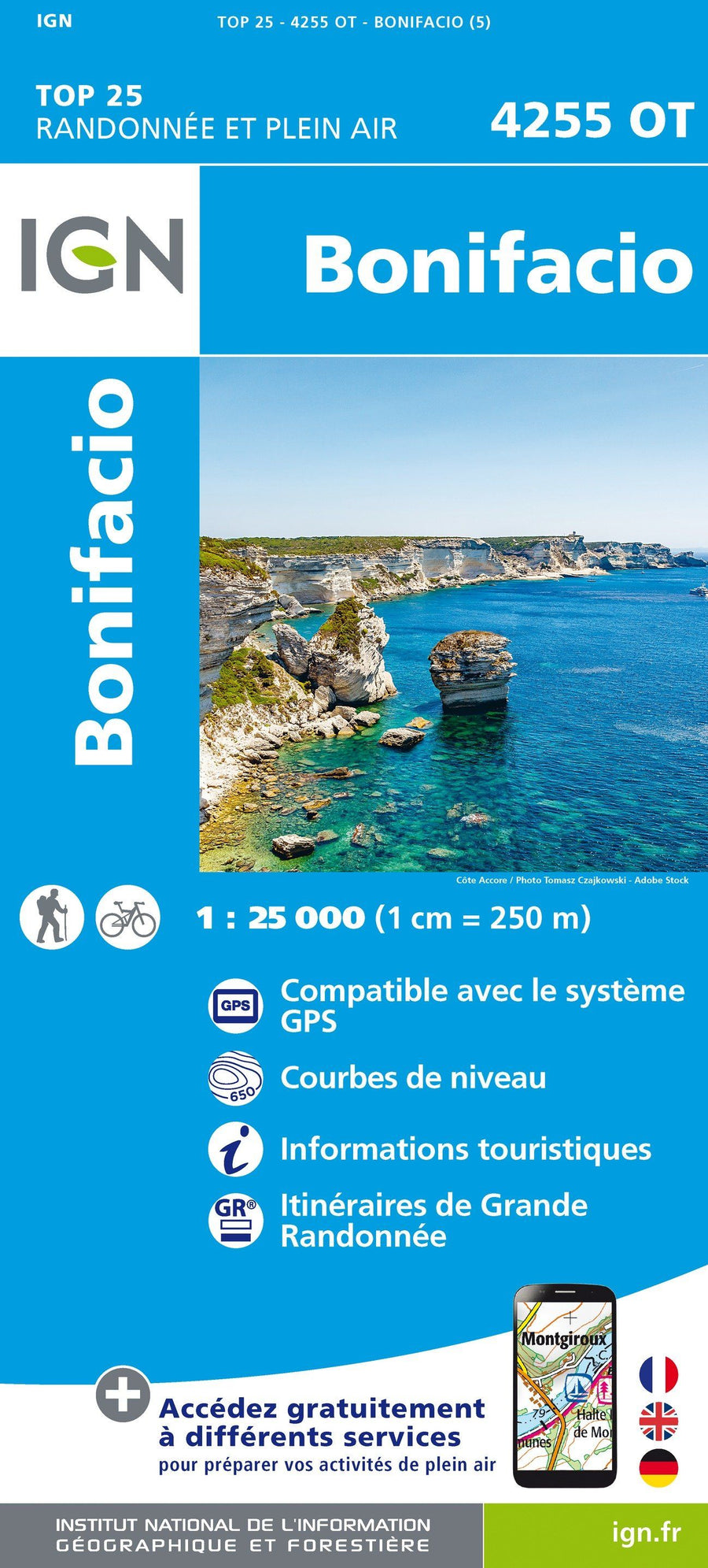
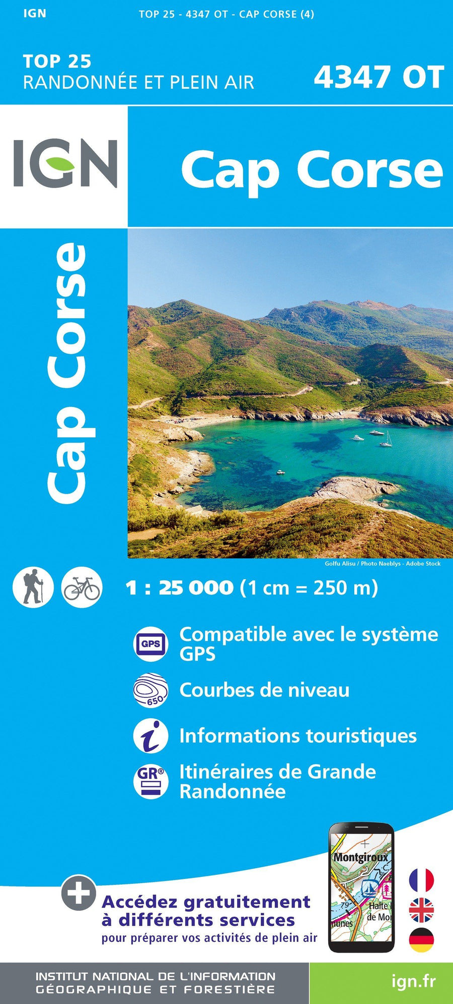
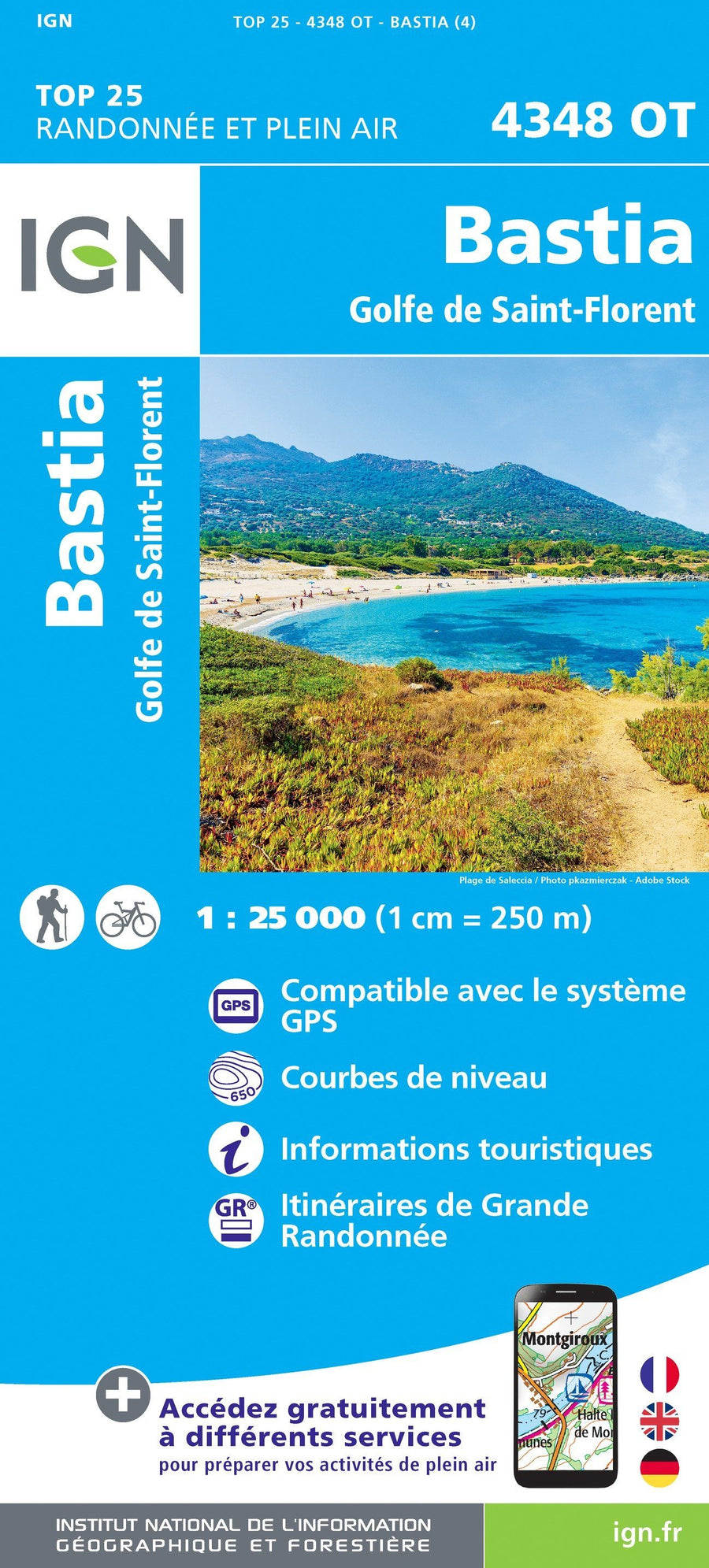
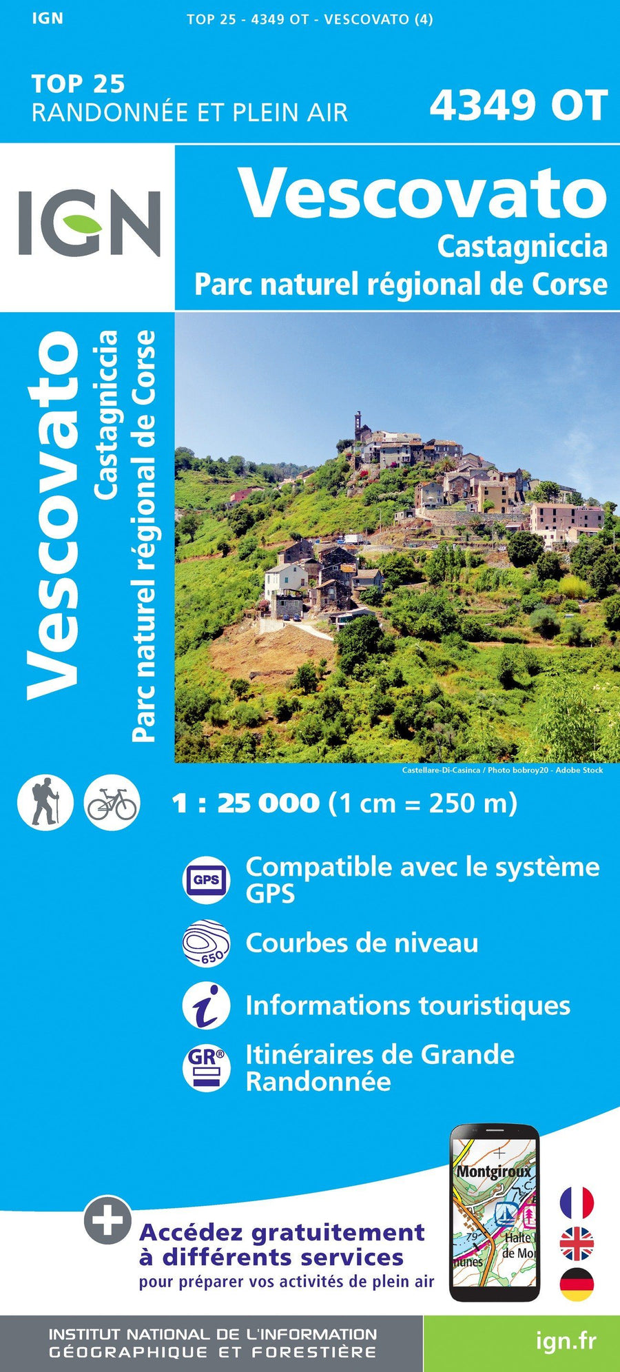
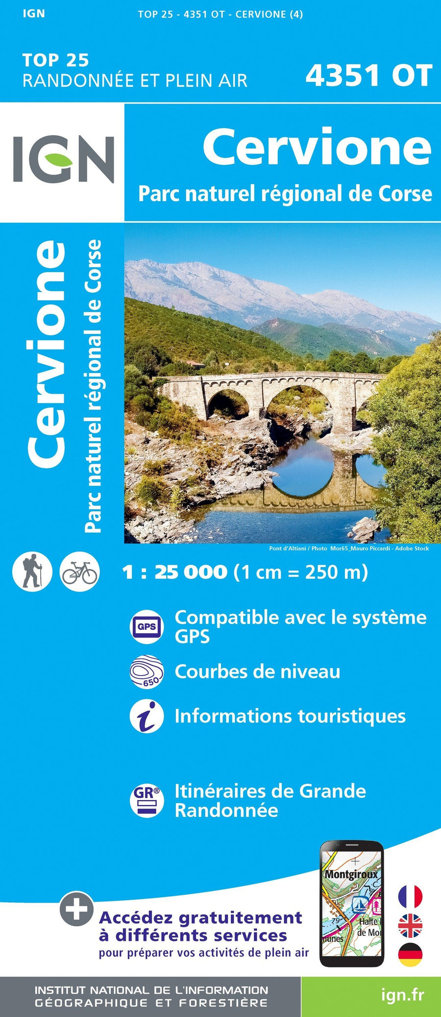
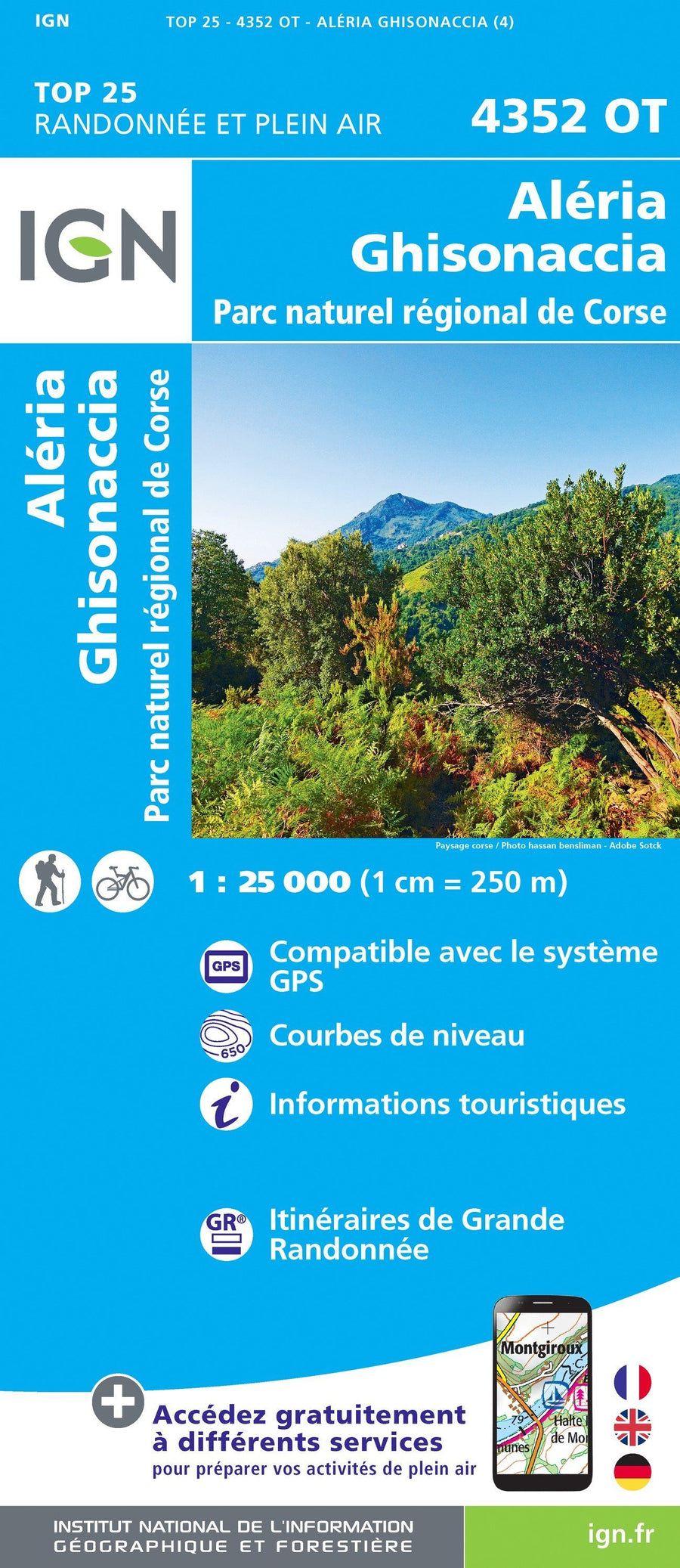
IGN - Corsica - TOP 25 hiking maps
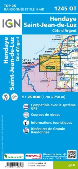
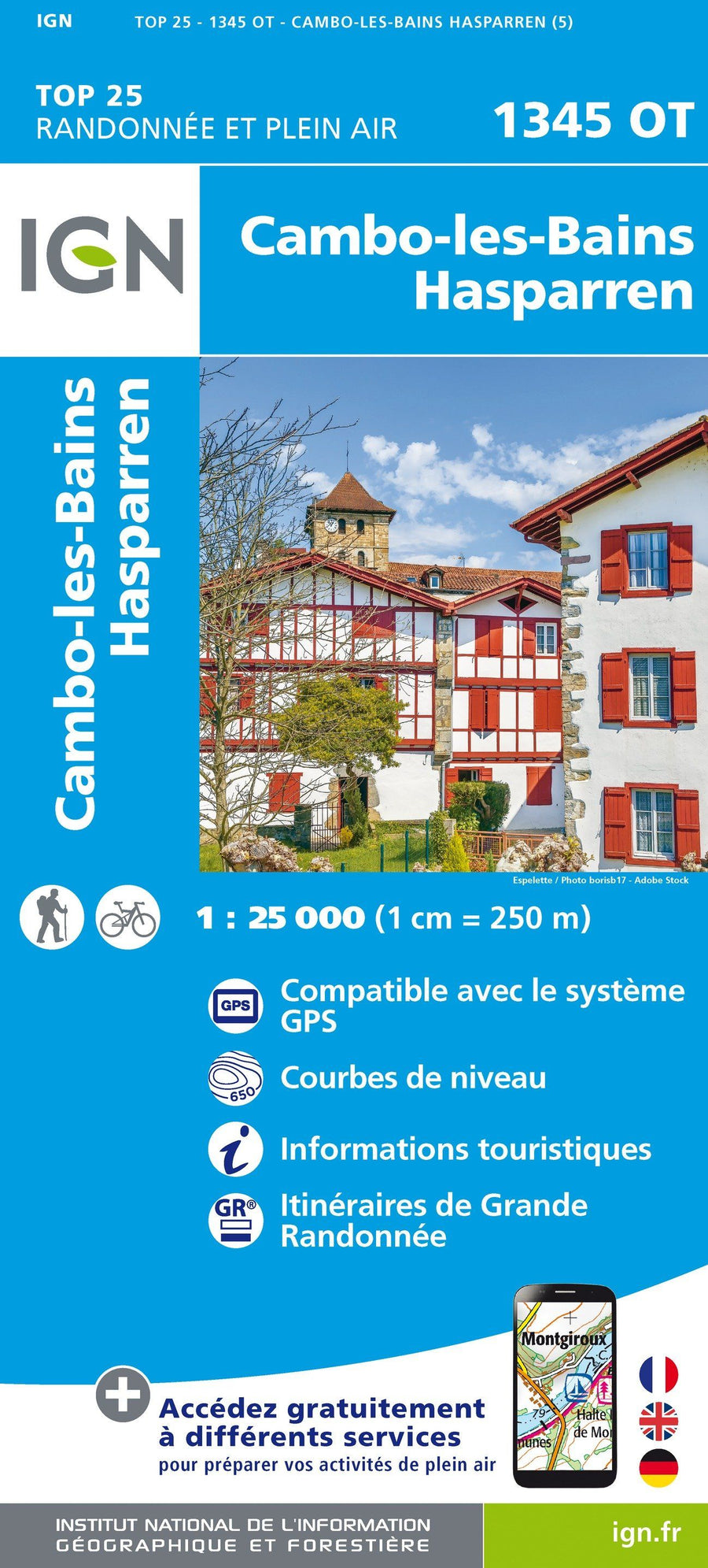
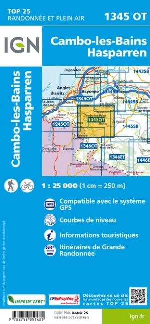
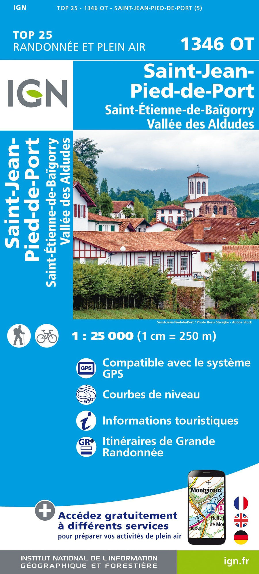
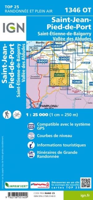
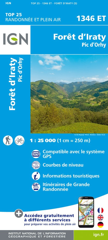
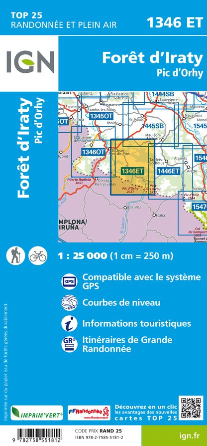
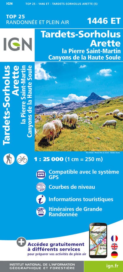
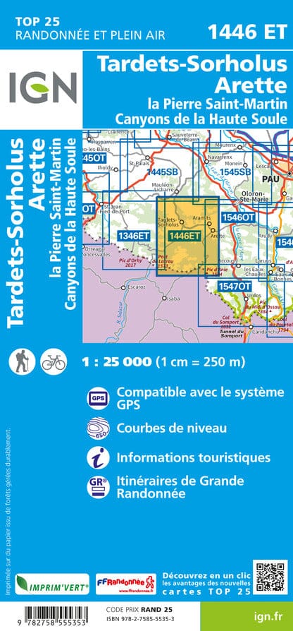
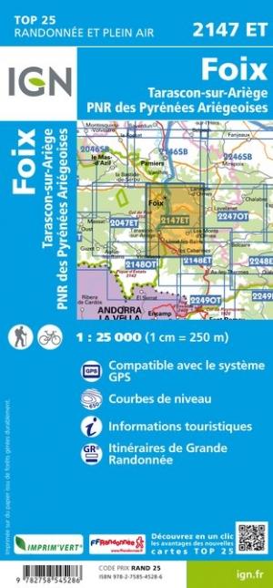
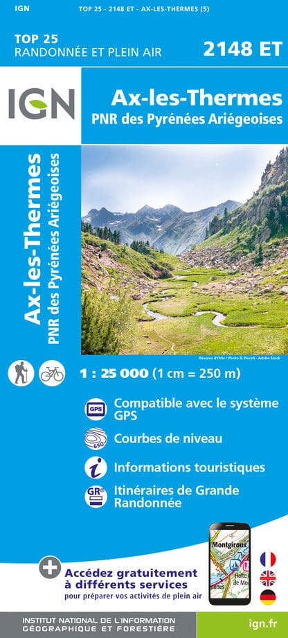
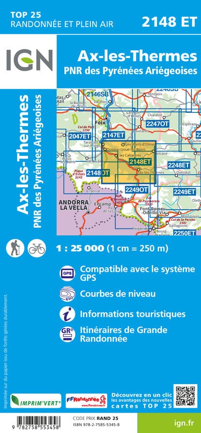
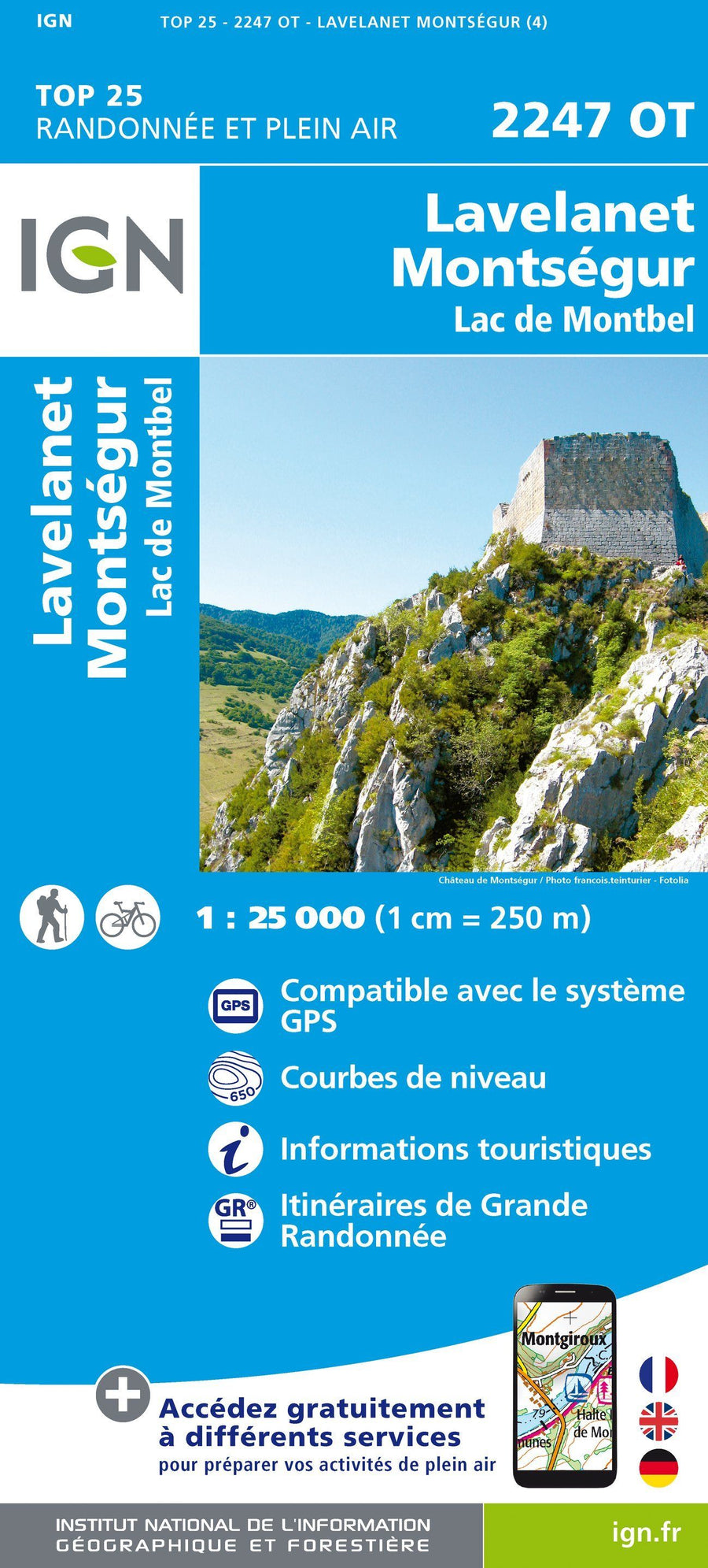
IGN - Pyrenees - TOP 25 hiking maps
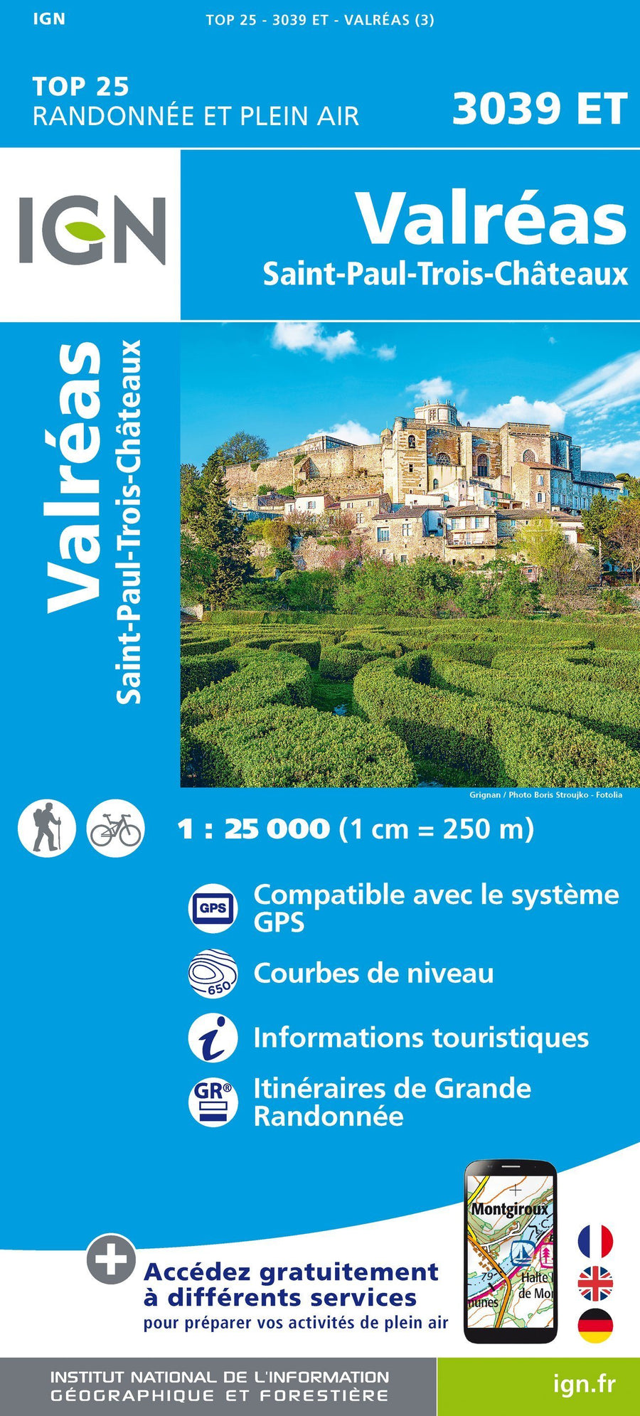
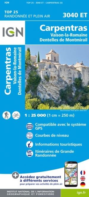
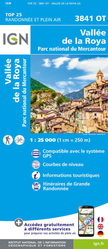
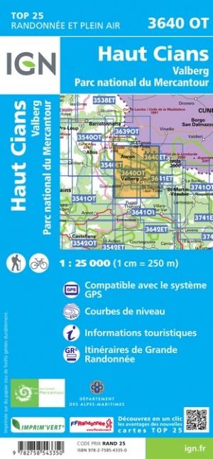
IGN - Côte d'Azur, Provence, Southern Alps - TOP 25 hiking maps
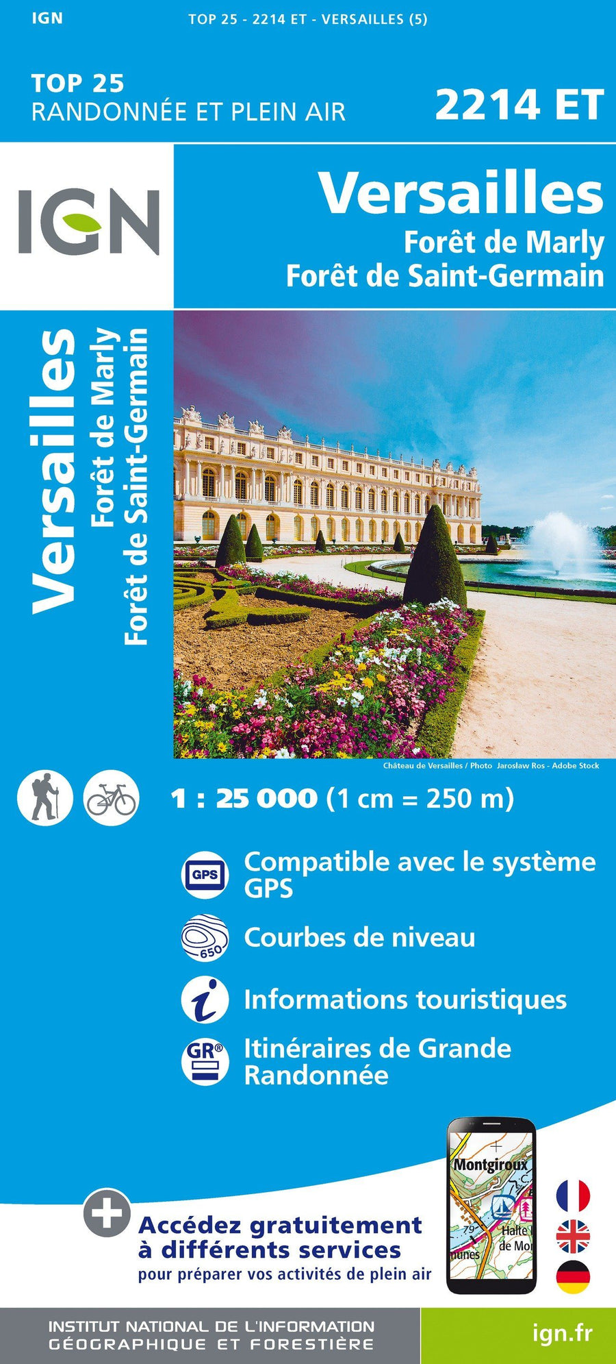
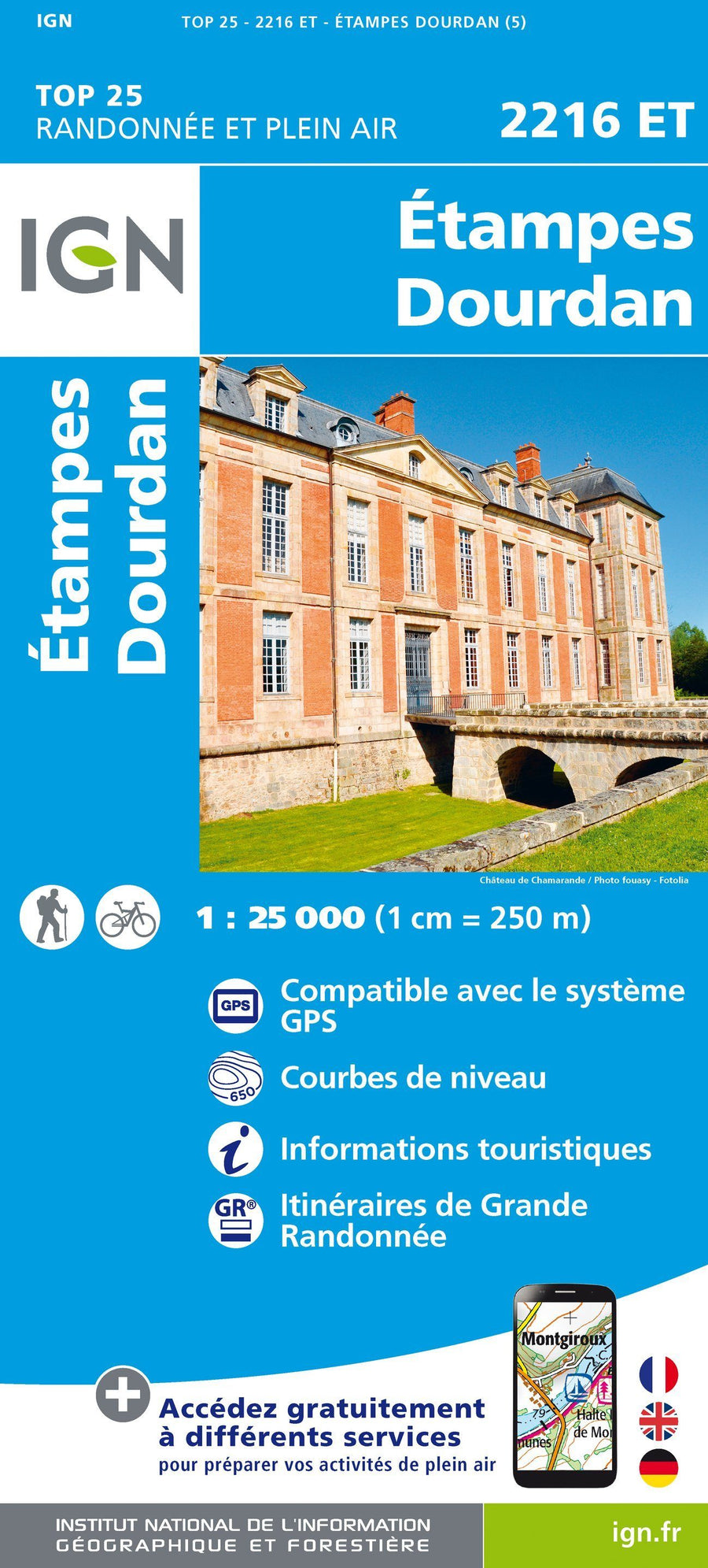
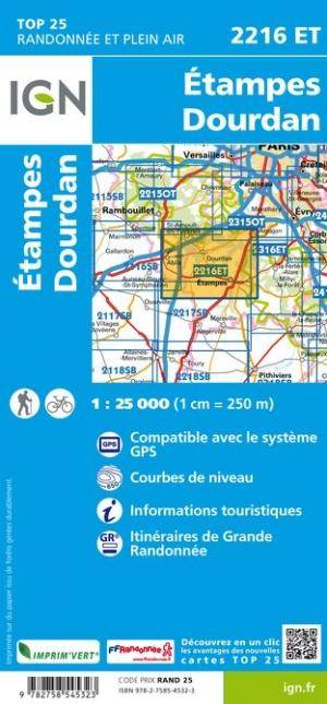
IGN - Paris region - TOP 25 hiking maps
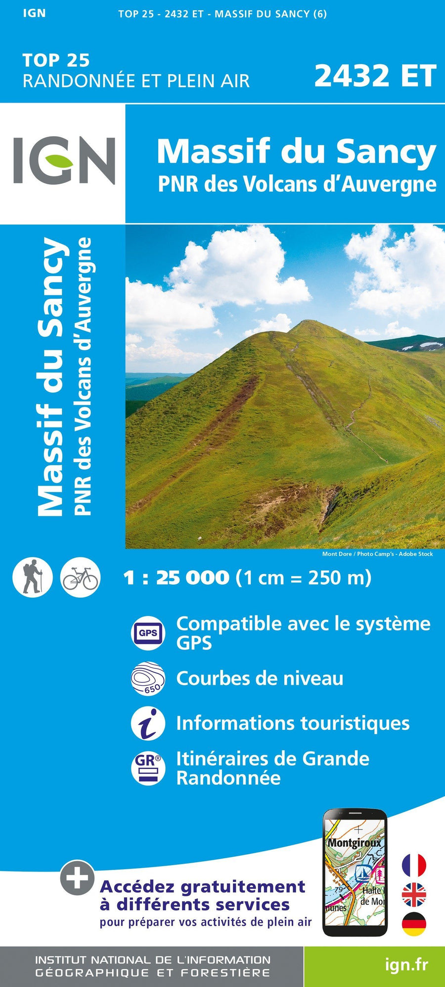
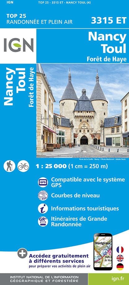
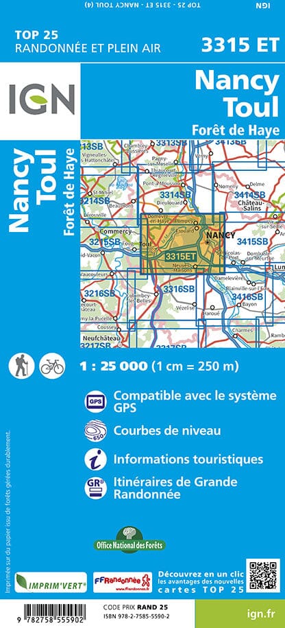
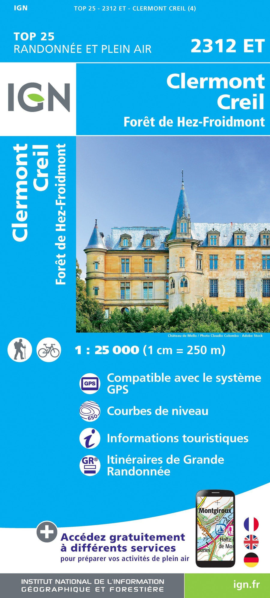
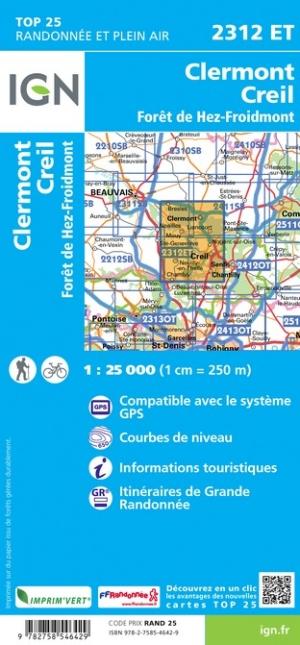
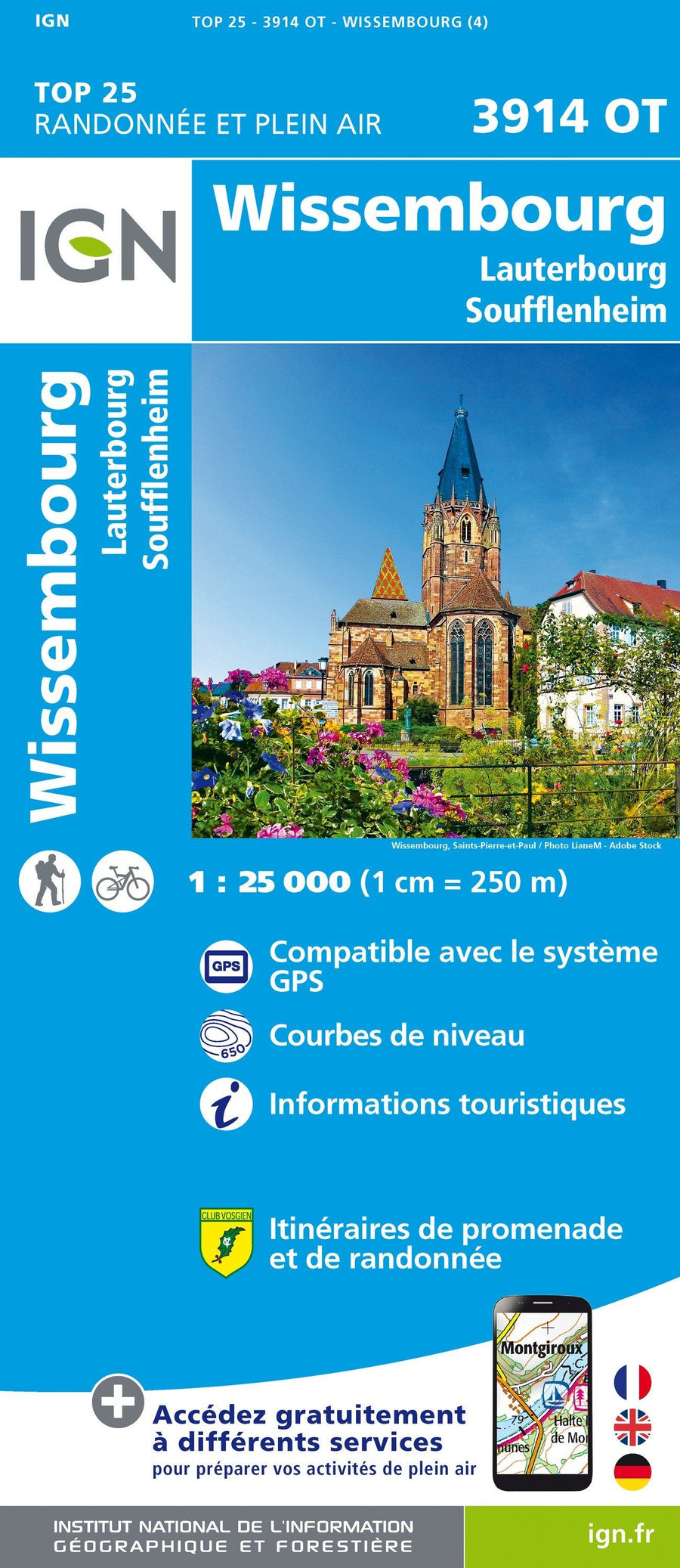
IGN - Eastern France - TOP 25 hiking maps