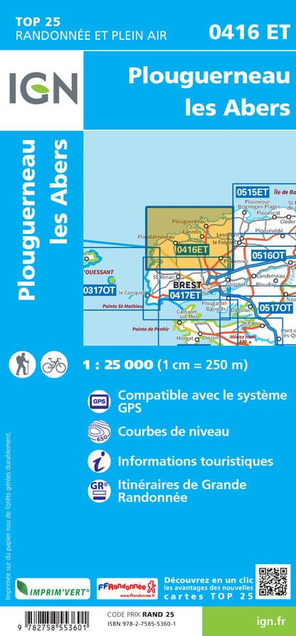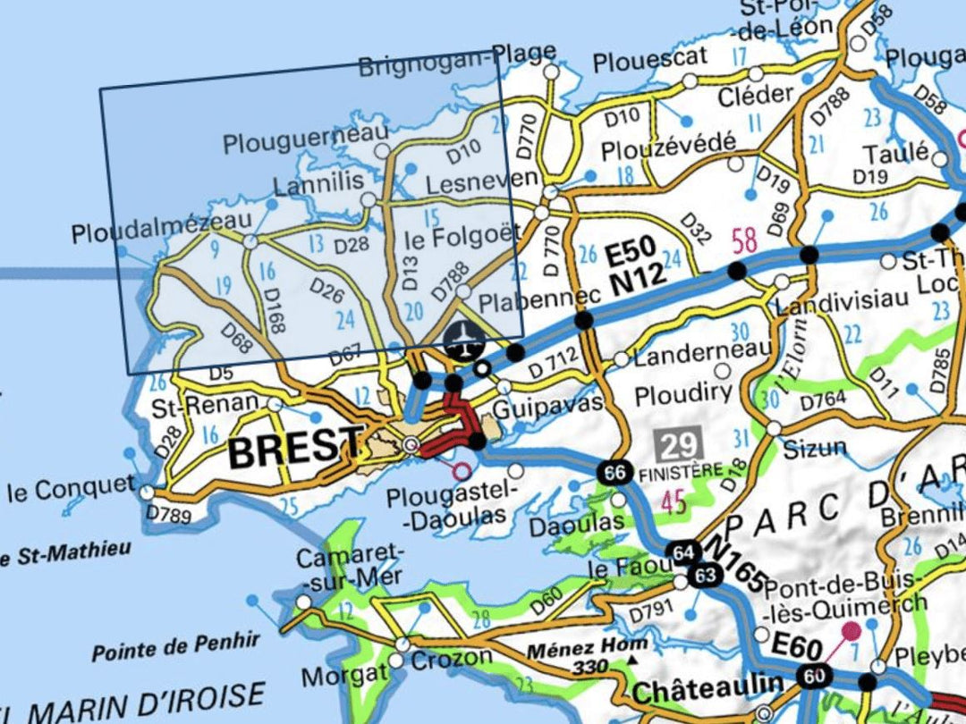
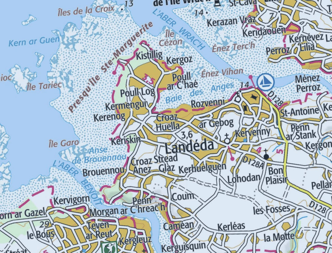
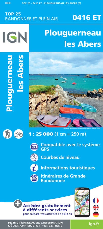


Top 25 map # 0416 ET - Plouguerneau, the abers | IGN
Regular price
$17.00
Regular price
Sale price
$17.00
Save $-17
/
- Shipping within 24 working hours from our warehouse in France
- Delivery costs calculated instantly in the basket
- Free returns (*)
- Real-time inventory
- Low stock - 1 item left
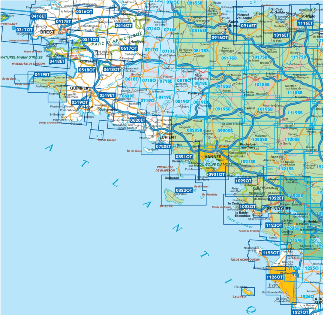
Related geographic locations and collections: Abers, Brittany, Brittany hiking maps - IGN TOP 25 & SÉRIE BLEUE, Finistère (department 29), France hiking maps - IGN TOP 25 & SÉRIE BLEUE, GR34 - Tour of Brittain