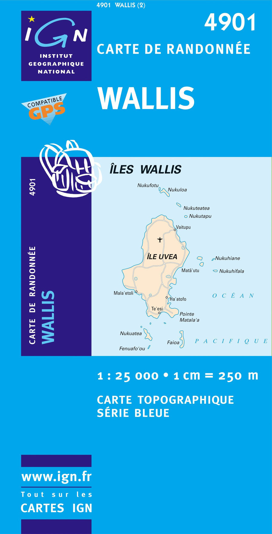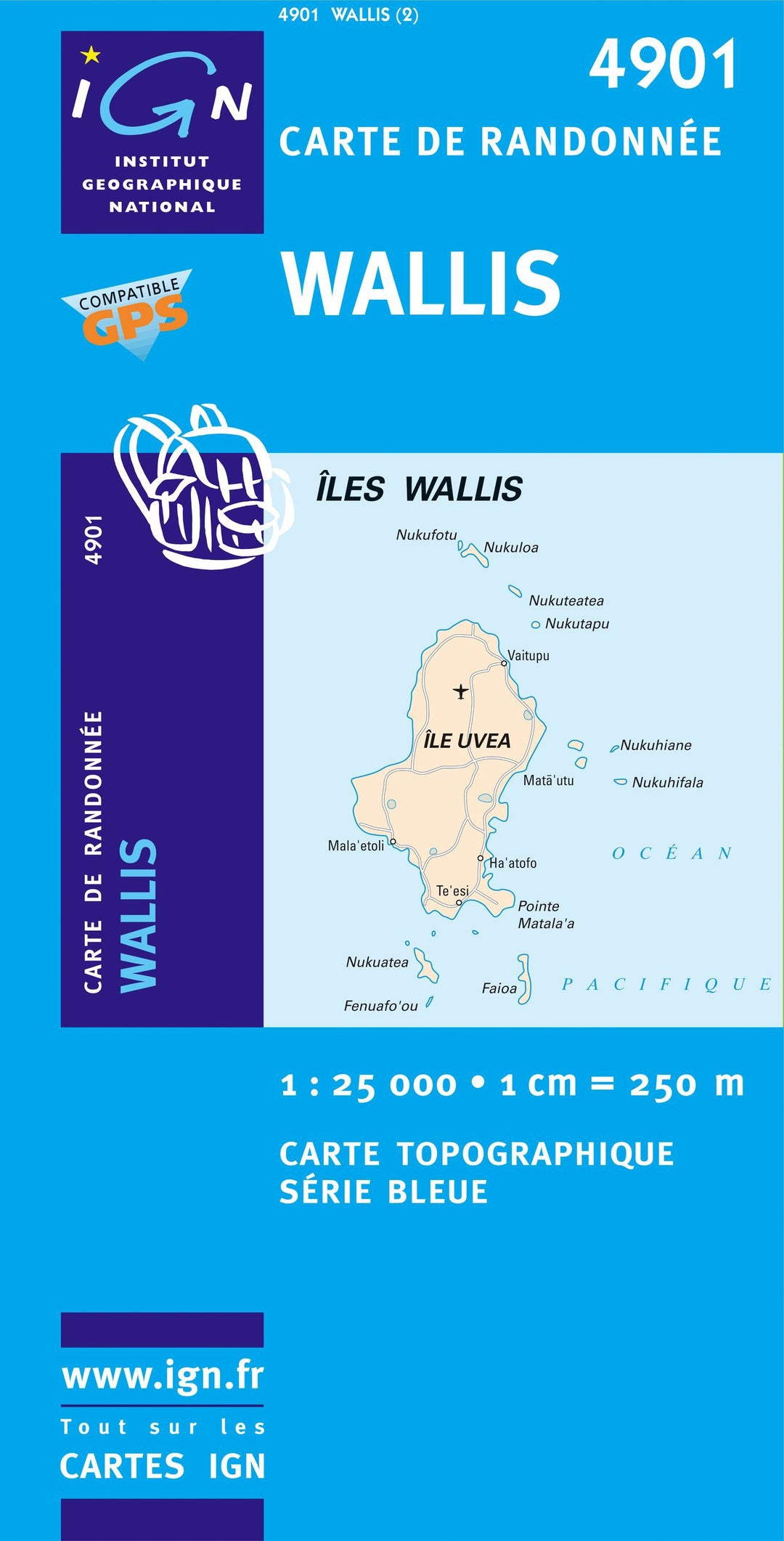
Top 25 map # M4901 - Wallis (ILE) | IGN - Blue Series
Regular price
$17.00
Regular price
Sale price
$17.00
Save $-17
/
- Product on order - Shipping within 5 to 8 working days from our warehouse in France
- Delivery costs calculated instantly in the basket
Related geographic locations and collections: France hiking maps - IGN TOP 25 & SÉRIE BLEUE