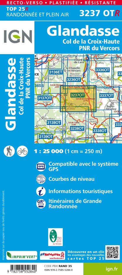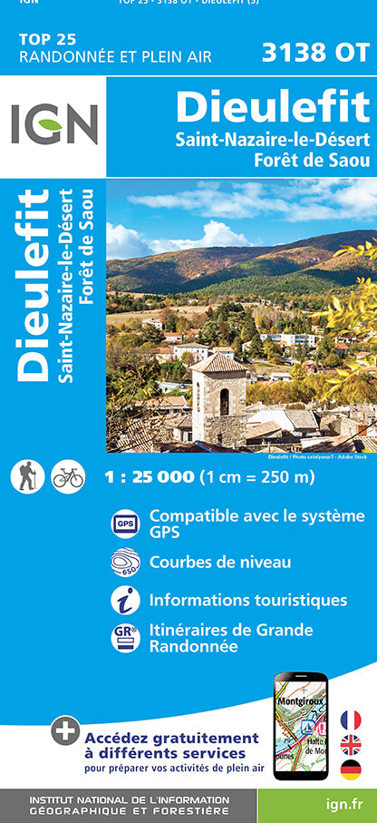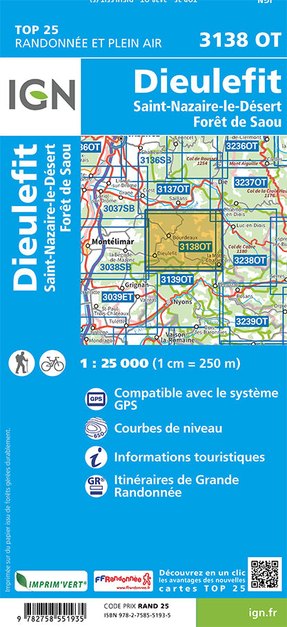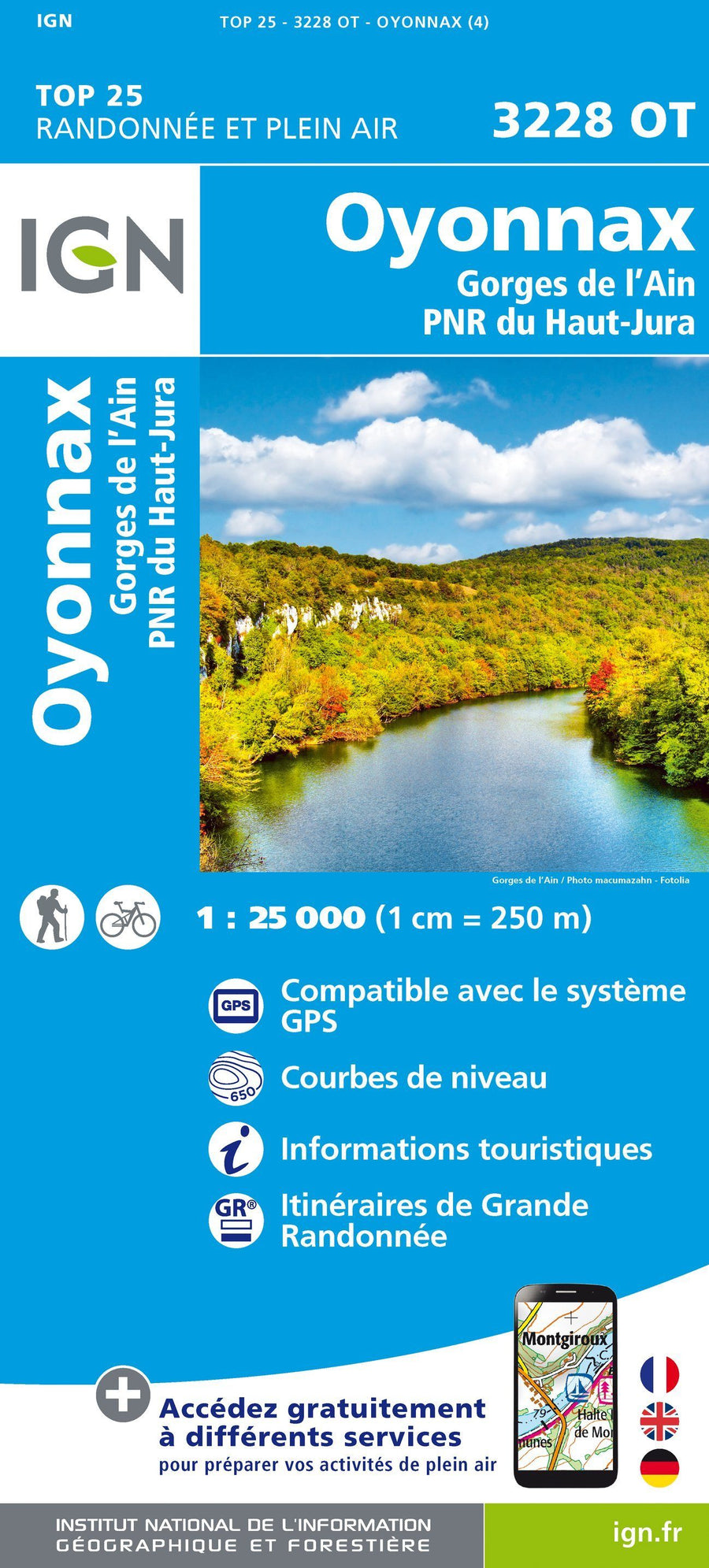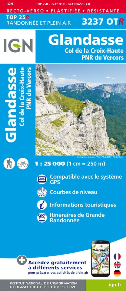


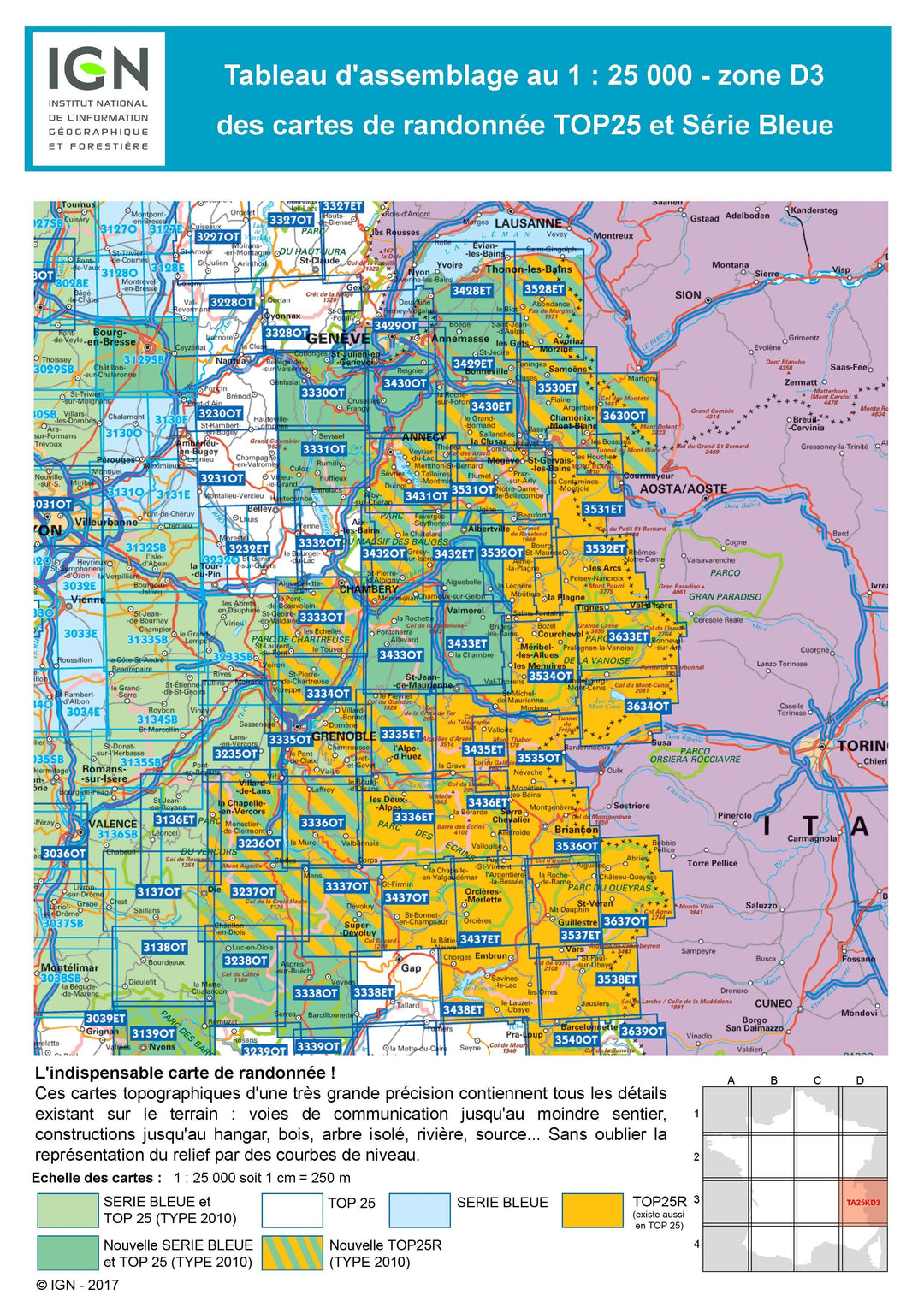


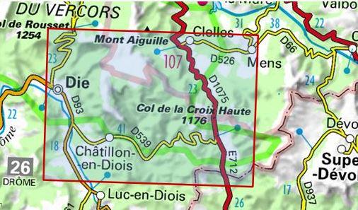
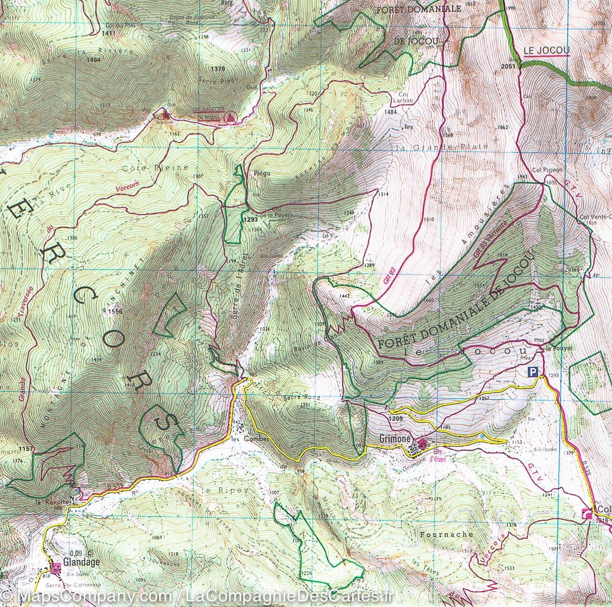
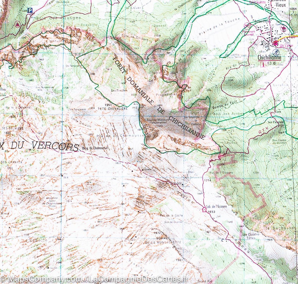

TOP 25 Map No. 3237 OTR (Resistant) - Glandasse & Col de la Croix-Haute (Vercors National Park, Alps) | IGN
Regular price
$21.00
Regular price
Sale price
$21.00
Save $-21
/
- Shipping within 24 working hours from our warehouse in France
- Delivery costs calculated instantly in the basket
- Free returns (*)
- Real-time inventory
- Low stock - 1 item left
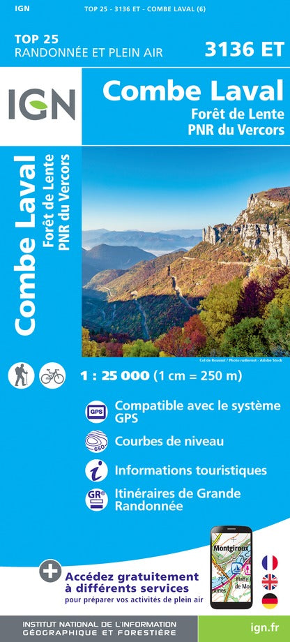
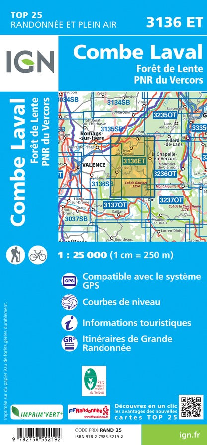
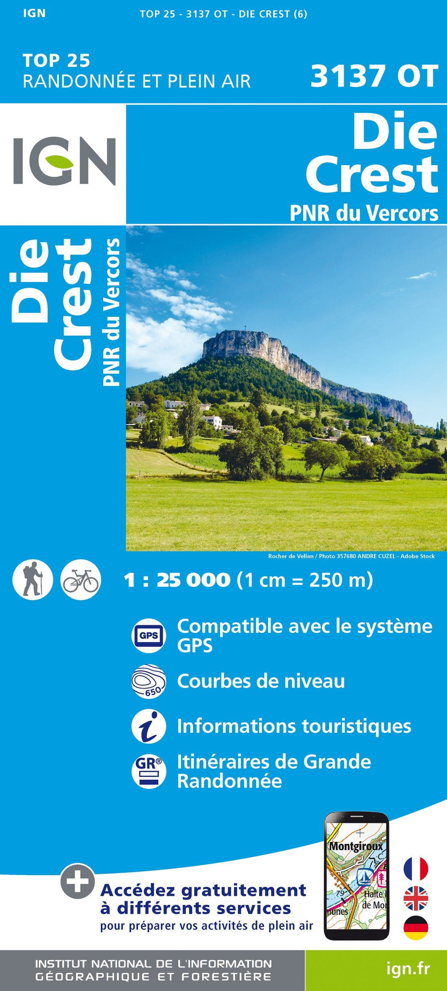
Related geographic locations and collections: Auvergne-Rhône-Alpes, Drôme (department 26), France hiking maps - IGN TOP 25 & SÉRIE BLEUE, French Alps (all hiking), French Alps hiking maps - IGN TOP 25 & SÉRIE BLEUE, Glandasse, Vercors Massif