Mount Whitney Zone, California | Tom Harrison Maps

Mount Whitney Zone, California by Tom Harrison Maps

Mount Whitney Zone, California | Tom Harrison Maps

Regular price $14.00
/
  • Ships within 48 business hours from our US warehouse. For this product, customs fees may be requested by the carrier upon delivery.
  • Delivery costs calculated instantly in the cart
  • Free returns (*)
  • Real-time inventory
  • In stock, ready to ship
  • Inventory on the way
Tax included.

Often purchased together:

Beautiful shaded-relief topo map of Mt Whitney area. GPS-compatible with complete UTM grid. Printed on waterproof and tear resistant material. Scale:1:31,680 (2 inches =1 mile)


ISBN/EAN : 9781877689697
Publication date: 2009
Folded dimensions: 8.66 inches x 4.72 inches (22 x 12 cm)
Unfolded dimensions: 25.2 inches x 18.11 inches (64 x 46 cm)
Language(s): English
Poids : 50 g

Customer Reviews

Be the first to write a review
0%
(0)
0%
(0)
0%
(0)
0%
(0)
0%
(0)
Mount Shasta Wilderness Trail Map by Tom Harrison Maps
Mount Shasta Wilderness Trails Map | Tom Harrison Maps
Tom Harrison Maps
$15.00
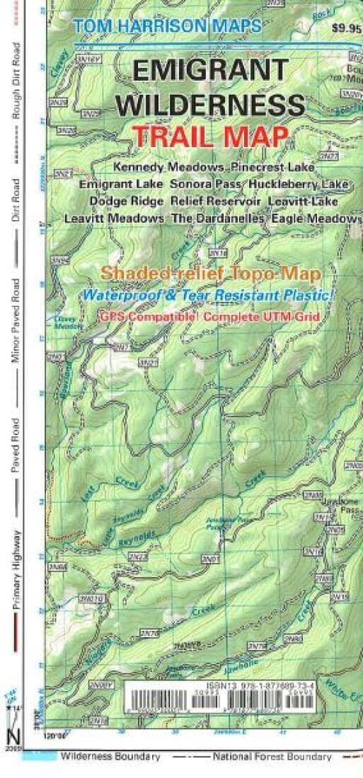
Emigrant Wilderness Trail Map by Tom Harrison Maps
Emigrant Wilderness Trail Map | Tom Harrison Maps
Tom Harrison Maps
$18.00
Guide de voyage (en anglais) - California & Southwest USA's National Parks | Lonely Planet guide de voyage Lonely Planet EN
Travel Guide - Zion & Bryce Canyon National Park - Edition 2021 | Lonely Planet
Lonely Planet EN
$21.00
Guide de randonnées (en anglais) - Hiking and Cycling the California Missions Trail, from Sonoma to San Diego | Cicerone guide de randonnée Cicerone
Hiking Guide (in English) - Hiking & Biking Peru's Inca Trails | Cicerone
Cicerone
$28.00
Sold Out
Limantour Day Hikes Trail Map | Tom Harrison Maps carte pliée
Limantour Day Hikes Trail Map | Tom Harrison Maps
Tom Harrison Maps
$8.00
Recently viewed