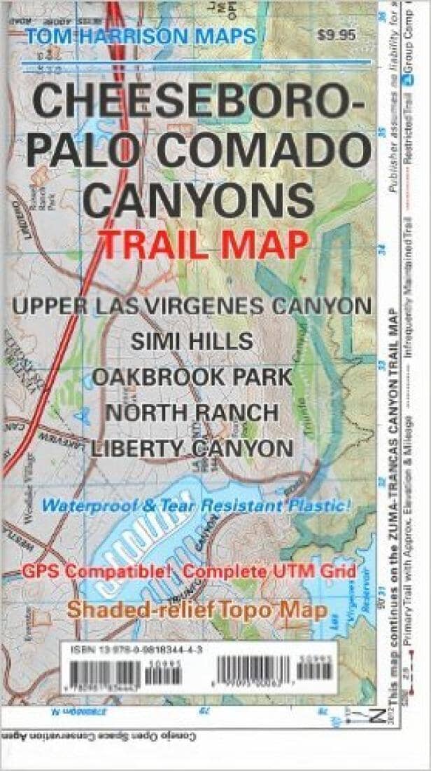
Cheeseboro and Palo Comado Canyons, California by Tom Harrison Maps

Cheeseboro and Palo Comado Canyons, California | Tom Harrison Maps

Price
Regular price $11.00
Regular price Sale price $11.00
Save $-11
/
  • Shipping within 48 business hours from our warehouse in the USA. For this product, customs fees may be requested by the carrier upon delivery.
  • Delivery costs calculated instantly in the basket
  • Free returns (*)
  • Real-time inventory
  • In stock, ready to ship
  • Backordered, shipping soon
Tax included.

Often purchased together:

Shaded relief map printed on waterproof and tear resistant material. Scale 1:31,680 (1 inch representing 0.5 mil) This map includes the area North of the Zumas - Trancas Canyon Trail Map by the same cartographer. You may drive to it via 101 freeway and is of easy access. Features: Upper Las Virgines Canyon, Simi Hills, Oakbrook Park, North Ranch and Liberty Canyon. GPS Compatible. Complete UTM Grid.


ISBN/EAN : 9780981834443
Publication date: 2012
Folded dimensions: 8.27 inches x 4.72 inches (21 x 12 cm)
Unfolded dimensions: 16.93 inches x 23.23 inches (43 x 59 cm)
Language(s): English
Weight: 60 g

Customer Reviews

Be the first to write a review
0%
(0)
0%
(0)
0%
(0)
0%
(0)
0%
(0)