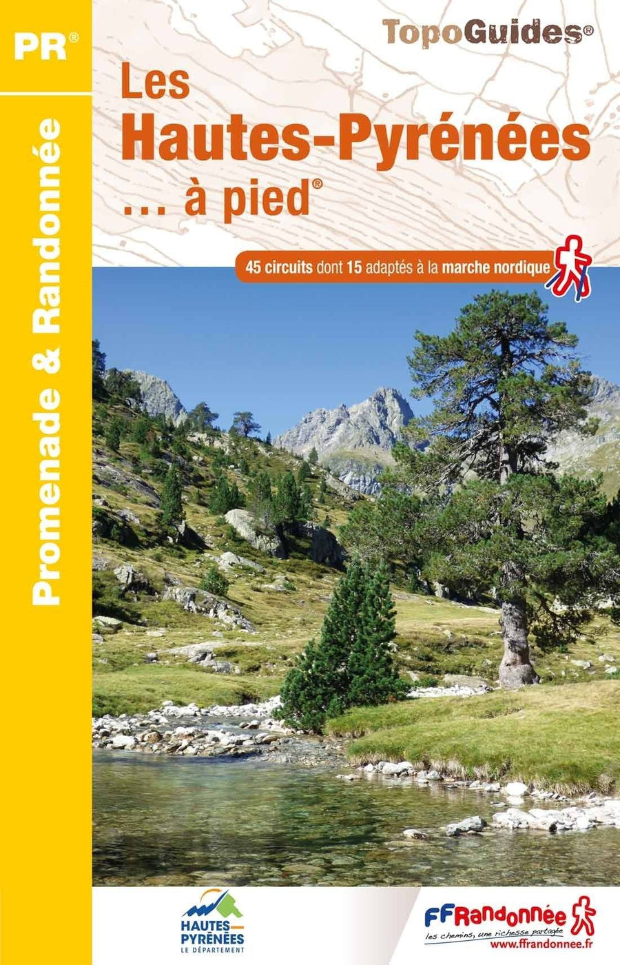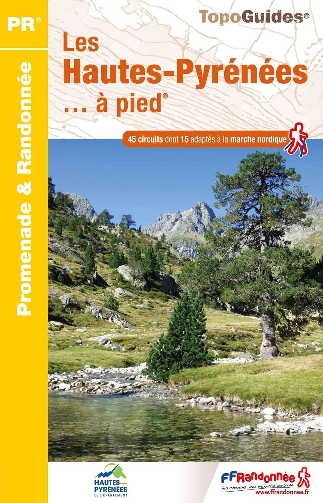
Topoguide de randonnée - Les Hautes-Pyrenées à pied | FFR guide de randonnée FFR - Fédération Française de Randonnée

Topoguide Hiking - The Hautes-Pyrenees on foot | FFR (French)

Topoguide Hiking - The Hautes-Pyrenees on foot | FFR (French)

Regular price $18.00
/
  • Shipping within 24 working hours from our warehouse in France
  • Delivery costs calculated instantly in the basket
  • Free returns (*)
  • Real-time inventory
  • Low stock - 1 item left
  • Backordered, shipping soon
Tax included.
Topoguide of the "promenade & amp hiking" collection. Tarbes, Bagnères-de-Bigorre or Gavarnie ... You are in the heart of the Pyrenees.

The altitude of the Hautes-Pyrenees varies from 124 to 3 298 meters! A relief that speaks to the hiker and who cuts the natural environments into a formidable mosaic: fertile and agricultural plains of Adour to the north, at the vertiginous walls of the Cirque de Gavarnie south.

These mountains, Pays du Lys des Pyrenees, shelter Isard and Gypaète bearded, greater rapace in Europe, both protected by the creation of the Pyrenees National Park.

It is also the hollow of these mountains that the thermalism was developed in the 19th century, which gave birth to the special architecture of cities like Bagnères and Cauterets


ISBN/EAN : 9782751411908
Publication date: 2022
Pagination: 128 pages
Folded dimensions: 21x13cm
Language(s): French
Poids : 197 g

Customer Reviews

Based on 1 review
100%
(1)
0%
(0)
0%
(0)
0%
(0)
0%
(0)
a
agnes A. (Jatxou, FR)
ACHAT PARFAIT

Tout s'est très bien passé : achat facile , livraison rapide malgré le contexte, qualité du produit...