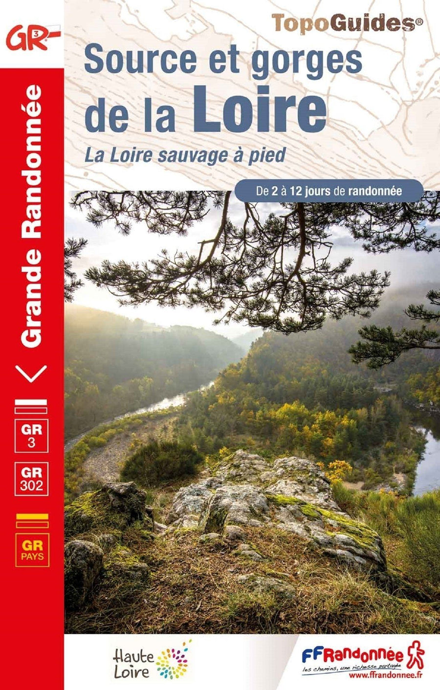
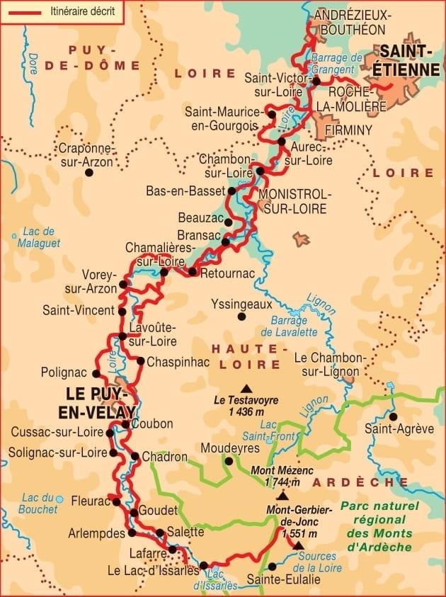
Hiking guide - Source and Gorges de la Loire | FFR (French)
Regular price
$22.00
Regular price
Sale price
$22.00
Save $-22
/
- Shipping within 24 working hours from our warehouse in France
- Delivery costs calculated instantly in the basket
- Free returns (*)
- Real-time inventory
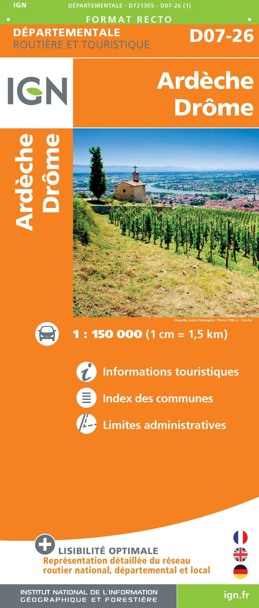
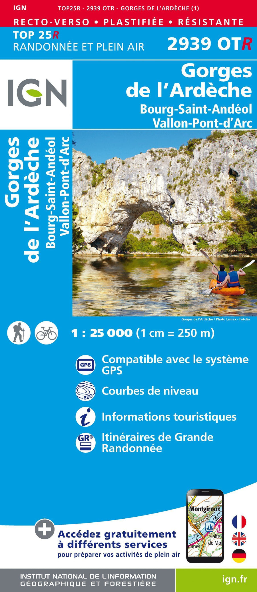
Related geographic locations and collections: Ardèche (department 07), France GR footpaths, Haute-Loire (department 43), Loire (department 42), Saint-Etienne, Travel guides & practical guides