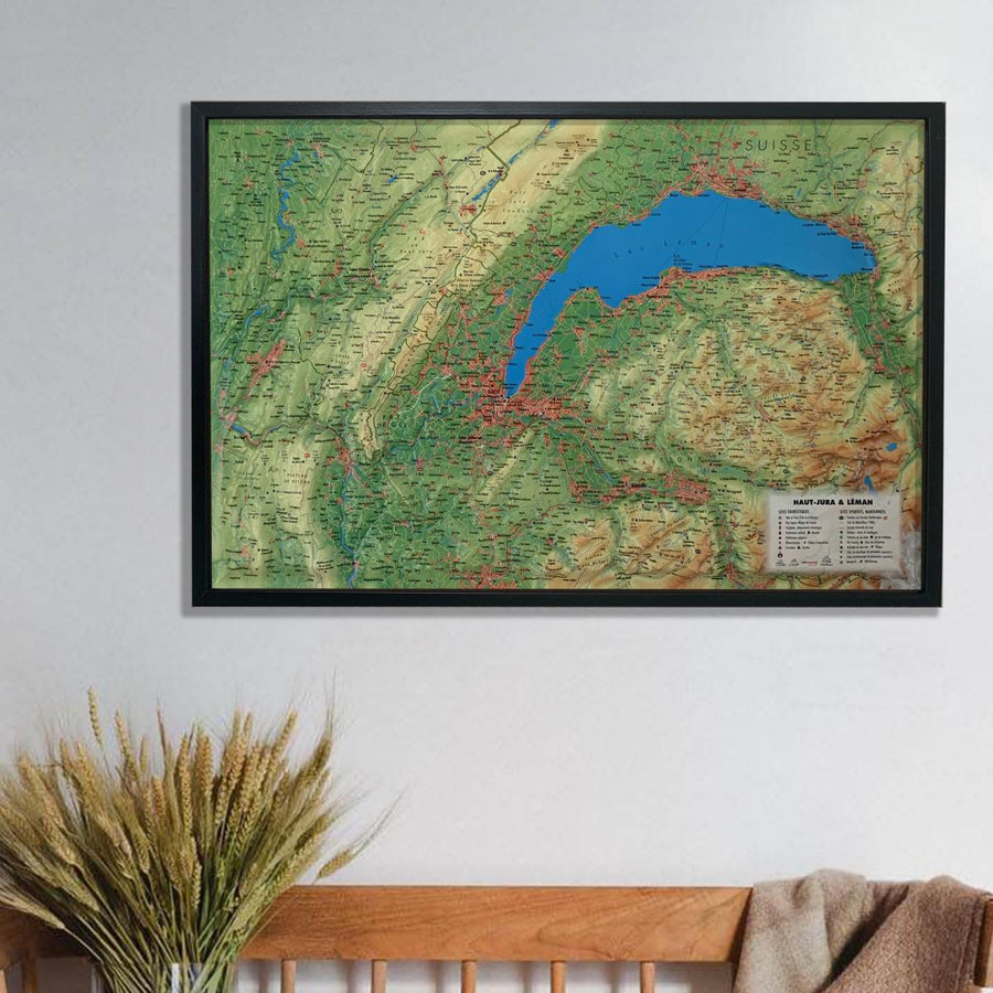
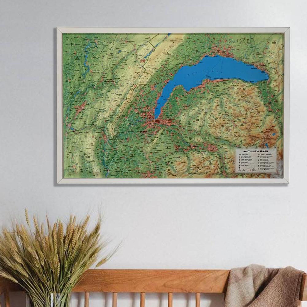
3D Raised relief map - Jura & Leman (41 cm x 61 cm) | 3D Map (French)

Price
Regular price $43.00
Regular price Sale price $43.00
Save $-43
/
  • Shipping within 24 working hours from our warehouse in France
  • Delivery costs calculated instantly in the basket
  • Real-time inventory
  • In stock, ready to ship
  • Backordered, shipping soon
Tax included.

Often purchased together:

Relief wall map that covers the Jura region and Lake Geneva.

A finishing frame is also available as an option: We highly recommend it to make hanging easier and to enhance the appearance of your map.

Information included on the map:
- General data:

• Hydrological, natural and hypSometric data - Administrative data

- Tourist attractions:

- Scale & Dimensions:

• Planimetric scale: 1 : 195 000
• Altimetry scale: 1 : 120 000
• 61 cm x 41 cm


ISBN / EAN : 9791097206277
Date de publication : 2020
Echelle : 1/195,000 (1cm=1.95km)
Dimensions déplié(e) : 41cm x 61cm
Langue : French
Poids : 136 g

Customer Reviews

Based on 1 review
100%
(1)
0%
(0)
0%
(0)
0%
(0)
0%
(0)
HAS
ALAIN M. (Saint-Herblain, FR)
Very useful for locating

Future move to the Lake Geneva region, a great opportunity to situate yourself and plan future hikes

More from Haut Jura
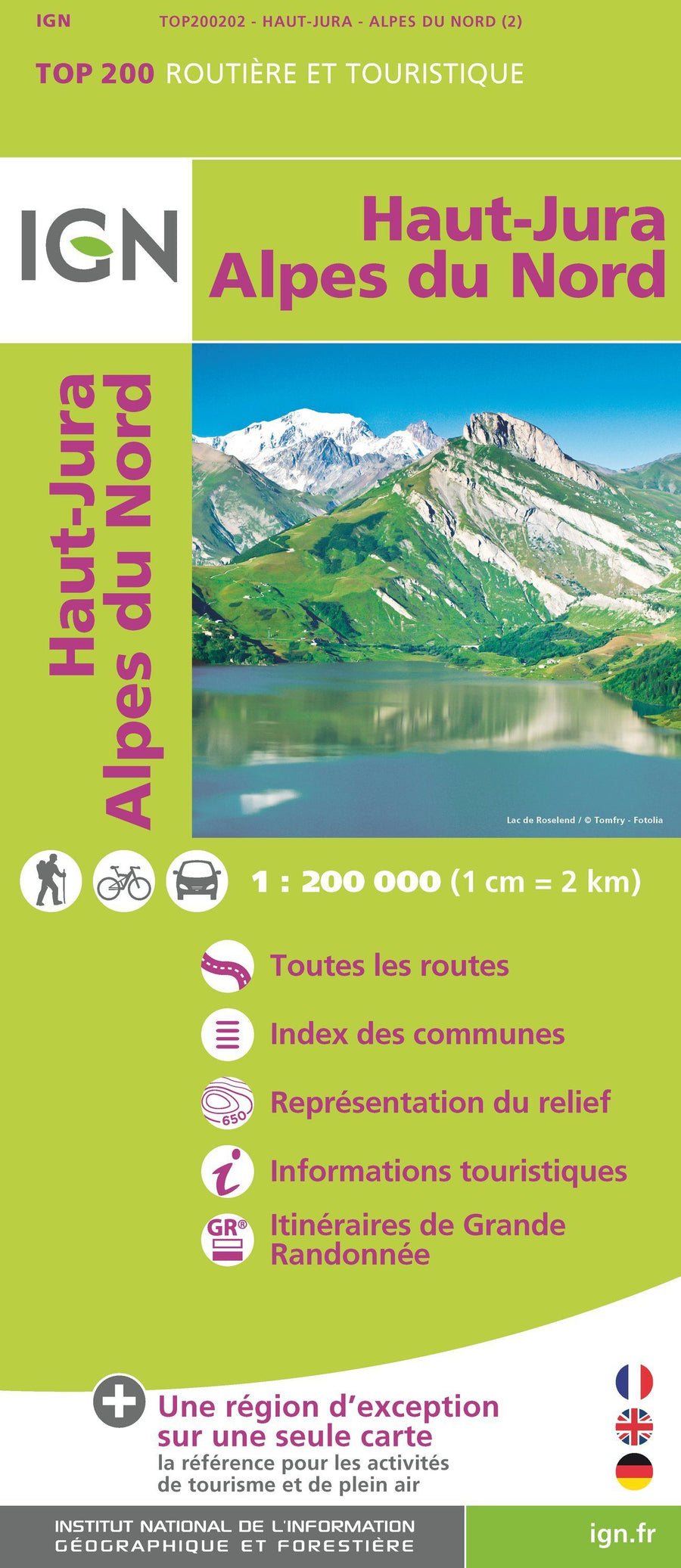
Carte TOP 200 - n° 202 - Haut-Jura & Alpes du Nord | IGN carte pliée IGN
Carte IGN TOP 200 - 202 - Haut-Jura & Alpes du Nord | IGN - La Compagnie des Cartes
Top 200 Map - # 202 - Northern High Jura & Alps | IGN
IGN
$9.00
Carte TOP 75 n° 12 - Haut-Jura | IGN carte pliée IGN
Top 75 map # 12 - Haut - Jura | IGN | IGN
IGN
$11.00