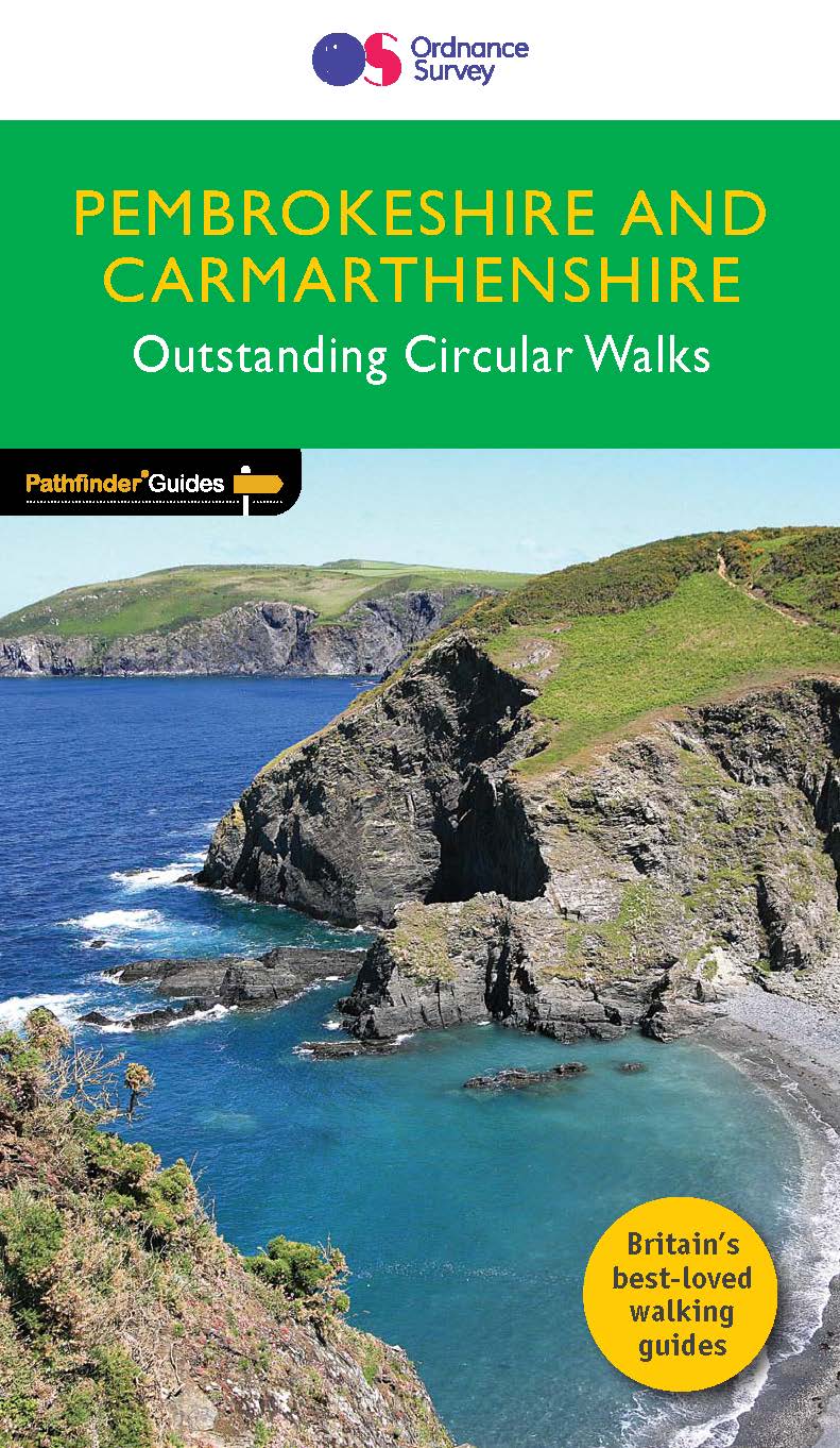
Guide de randonnées (en anglais) - Pembrokeshire (Pays de Galles) | Ordnance Survey - Pathfinder guides guide de randonnée Ordnance Survey

Hiking guide (in English) - Pembrokeshire (Wales) | Ordnance Survey - Pathfinder Guides

Price
Regular price $21.00
Regular price Sale price $21.00
Save $-21
/
  • Shipping within 24 working hours from our warehouse in France
  • Frais de livraison calculés instantanément dans le panier
  • Retours gratuits (*)
  • Stocks en temps réel
  • In stock, ready to ship
  • Backordered, shipping soon
Tax included.

Souvent achetés ensemble :

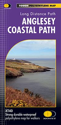
The Pathfinder guide on walks in Pembrokeshire and Carmarthenshire contains 28 walks carefully prepared, created by experienced walkers. Itineraries range from two to nine miles and allow you to see the best of the region.
The Pembrokeshire and Carmarthenshire region has some of the most spectacular coastal landscapes and the most beautiful sections of coastal trails in Great Britain. Many hikes borrow from parts of the coastal trail of Pembrokeshire, including the magnificent cliffside landscape surrounding the Peninsula of Dinas Island and west of Port - Eynon Bay, as well as woody expanses located between Saundersfoot and Tenby.
Each route contains a detailed description, an extract from the map and notes on the main features as you progress. It is an ideal guide for vacationers and premises.


ISBN/EAN : 9780319090374
Publication date: 2017
Folded dimensions: 13.7 x 23.8cm
Language(s): English
Poids : 200 g

Customer Reviews

No reviews yet
0%
(0)
0%
(0)
0%
(0)
0%
(0)
0%
(0)
CampingCard ACSI - Carte de réductions & Guide - Europe 2024 guide pratique ACSI
CampingCard ACSI - Carte de réductions & Guide - Europe 2022 guide pratique ACSI
CampingMap ACSI - Discounts Map & Guide - Europe (French)
ACSI
$25.00
Guide - Randonner aux îles Lofoten guide de randonnée Topo Guide Lofoten
Guide - Hiking to the Lofoten Islands
Topo Guide Lofoten
$34.00
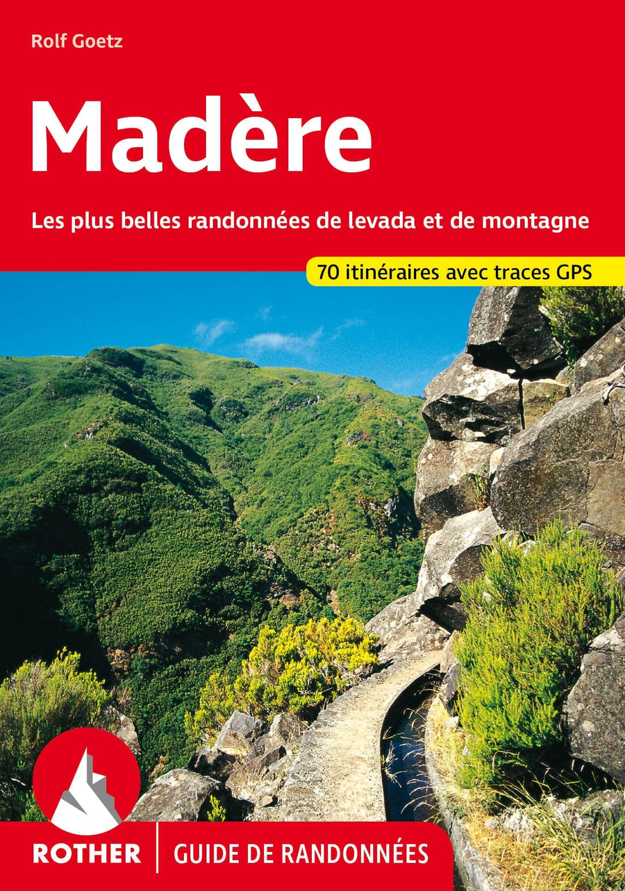
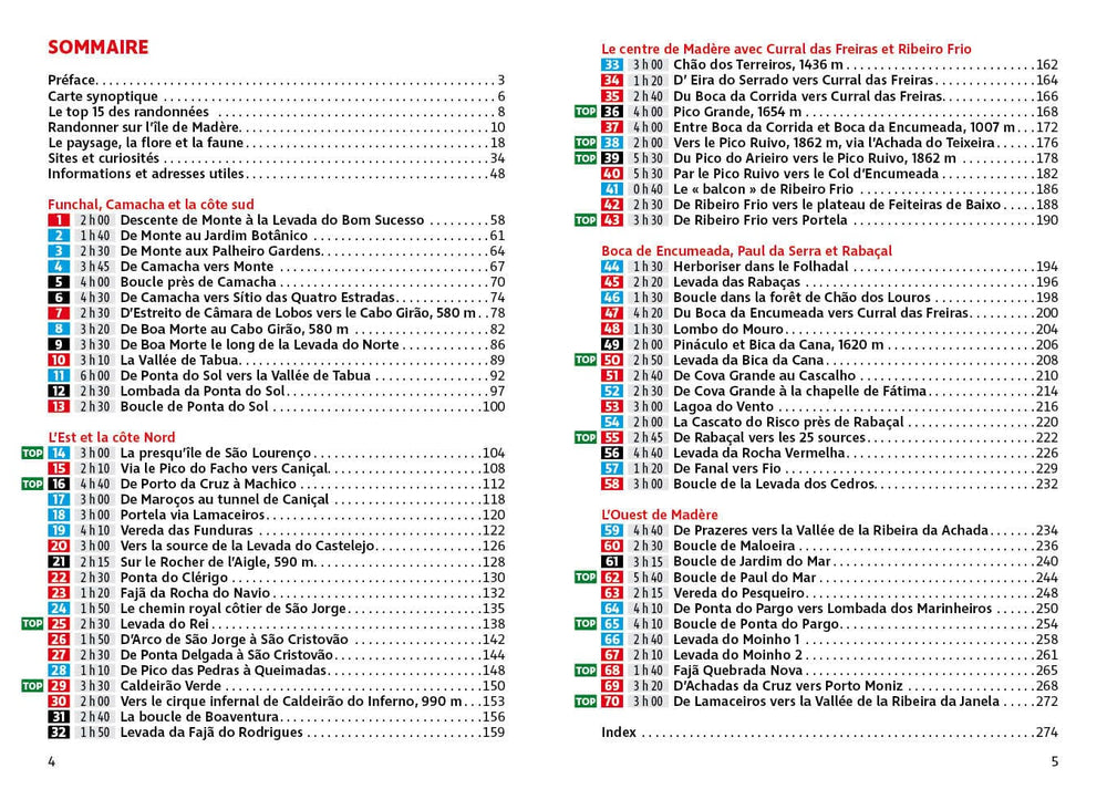
Guide de randonnée - Madère | Rother guide de randonnée Rother
Guide de randonnée - Madère | Rother guide de conversation Rother
Hiking guide - Madeira | Rother (French)
Rother
$21.00
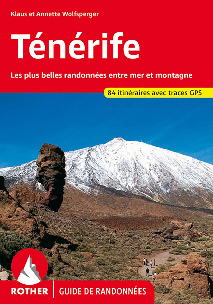
Guide de randonnée - Ténérife | Rother guide de randonnée Rother
Hiking guide - Tenerife | Rother (French)
Rother
$21.00
CampingCard ACSI - Carte de réductions & Aires camping-cars Europe 2024 guide pratique ACSI
CampingCard ACSI - Carte de réductions & Aires camping-cars Europe 2022 guide pratique ACSI
CampingMap ACSI - Map of Discounts & Aires Campsite Europe (French)
ACSI
$35.00