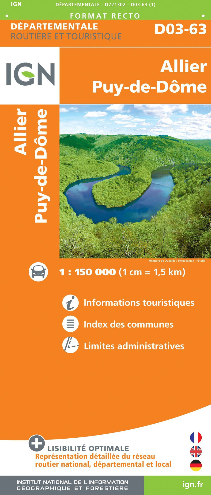
Located in the south - east of the Allier department, the Bourbonnaise mountain forms a mountain range that culminates at 1287 m altitude, at the Puy de Montoncel. p>
The topoguide is completed by routes around Vichy. P>
The guide p>
• General introduction with presentation of the territory (several developed topics that enrich the knowledge of the crossings crossed) p>
• 21 routes from 1:45 to 5:00 for a family and sports practice. p>
• Cartography on IGE background at 1:25 000 to easily locate p>
• Details of the interest centers p>
• Practical information and useful addresses. p>
ISBN/EAN : 9782844663931
Publication date: 2016
Folded dimensions: 21x14cm
Language(s): French
Poids :
110 g