Hiking guide - South West Coast Path Map Booklet - Vol 3: Plymouth to Poole | Cicerone

Price
Regular price $20.00
Regular price Sale price $20.00
Save $-20
/
  • Shipping within 24 working hours from our warehouse in France
  • Frais de livraison calculés instantanément dans le panier
  • Retours gratuits (*)
  • Stocks en temps réel
  • Low stock - 1 item left
  • Backordered, shipping soon
Tax included.

Souvent achetés ensemble :

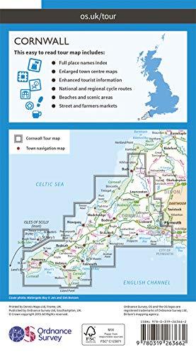
Topoguide (in English) of the Cicerone publisher.
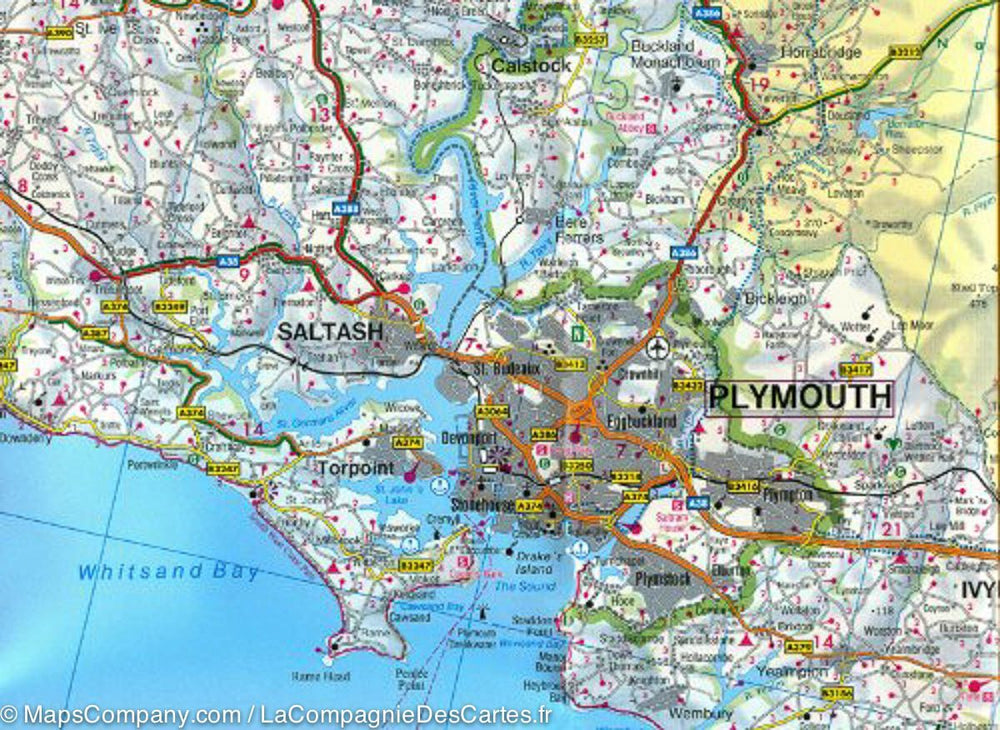
Description provided by the publisher: Map of Part of the Southern Section of the 630 mile (1014 km) South West Coast Path National Trail. COVERS THE TRAIL FROM PLYMOUTH TO POOLE ALONG THE COASTLINE OF DEVON AND DORSET. This Convenient and Compact Booklet of Ordnance Survey 1: 25,000 Maps Shows The Route, Providing All of the Mapping You Need to Walk The Trail in Either direction.
Seasons: This National Trail May Be Walked Year - Round: Be Aware That Winter Accommodation Availability May Be Limited, While High Summer Will Be Extremely Busy and The Weather Often Hot.
Centers: Many Centers AER passed Along The Route, Including Plymouth, Salcombe, Brixham, Weymouth, Swanage and Poole.
Difficulty: The South West Coast Path Is A Long Walk! MOST PATHS ARE EASY TO MODERATE, with Some walks Along Rugged and Exposed Coastal Cliff Paths and Some Steep Gradients. MUST SEE: Exmoor National Park, Areas of Outstanding Natural Beauty, Numerous Heritage Coasts, National and Local Nature Reserves, Special Sites of Special Scientific Interrest and National Trust Holdings.


ISBN/EAN : 9781786312006
Publication date: 2023
Pagination: 112 pages
Folded dimensions: 12 x 17cm
Language(s): English
Poids : 140 g

Customer Reviews

No reviews yet
0%
(0)
0%
(0)
0%
(0)
0%
(0)
0%
(0)
CampingCard ACSI - Carte de réductions & Guide - Europe 2024 guide pratique ACSI
CampingCard ACSI - Carte de réductions & Guide - Europe 2022 guide pratique ACSI
CampingMap ACSI - Discounts Map & Guide - Europe (French)
ACSI
$25.00
Guide - Randonner aux îles Lofoten guide de randonnée Topo Guide Lofoten
Guide - Hiking to the Lofoten Islands
Topo Guide Lofoten
$34.00
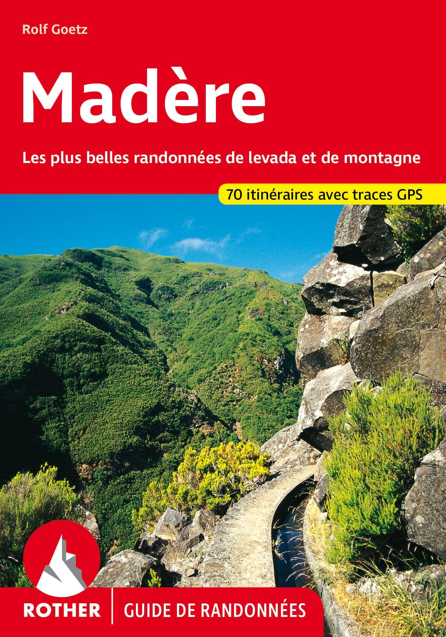
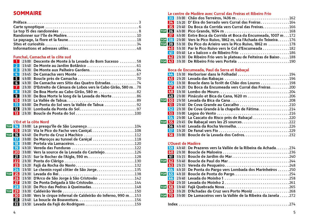
Guide de randonnée - Madère | Rother guide de randonnée Rother
Guide de randonnée - Madère | Rother guide de conversation Rother
Hiking guide - Madeira | Rother (French)
Rother
$21.00
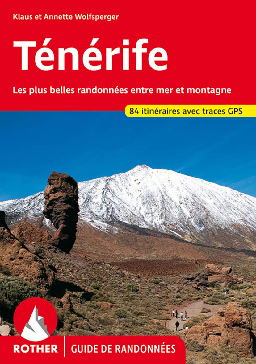
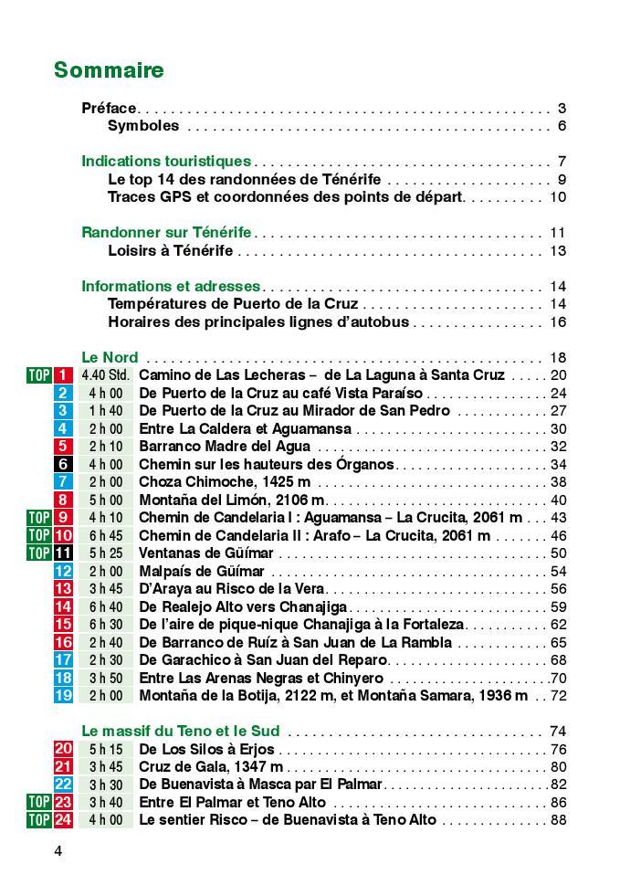
Guide de randonnée - Ténérife | Rother guide de randonnée Rother
Hiking guide - Tenerife | Rother (French)
Rother
$21.00
CampingCard ACSI - Carte de réductions & Aires camping-cars Europe 2024 guide pratique ACSI
CampingCard ACSI - Carte de réductions & Aires camping-cars Europe 2022 guide pratique ACSI
CampingMap ACSI - Map of Discounts & Aires Campsite Europe (French)
ACSI
$35.00