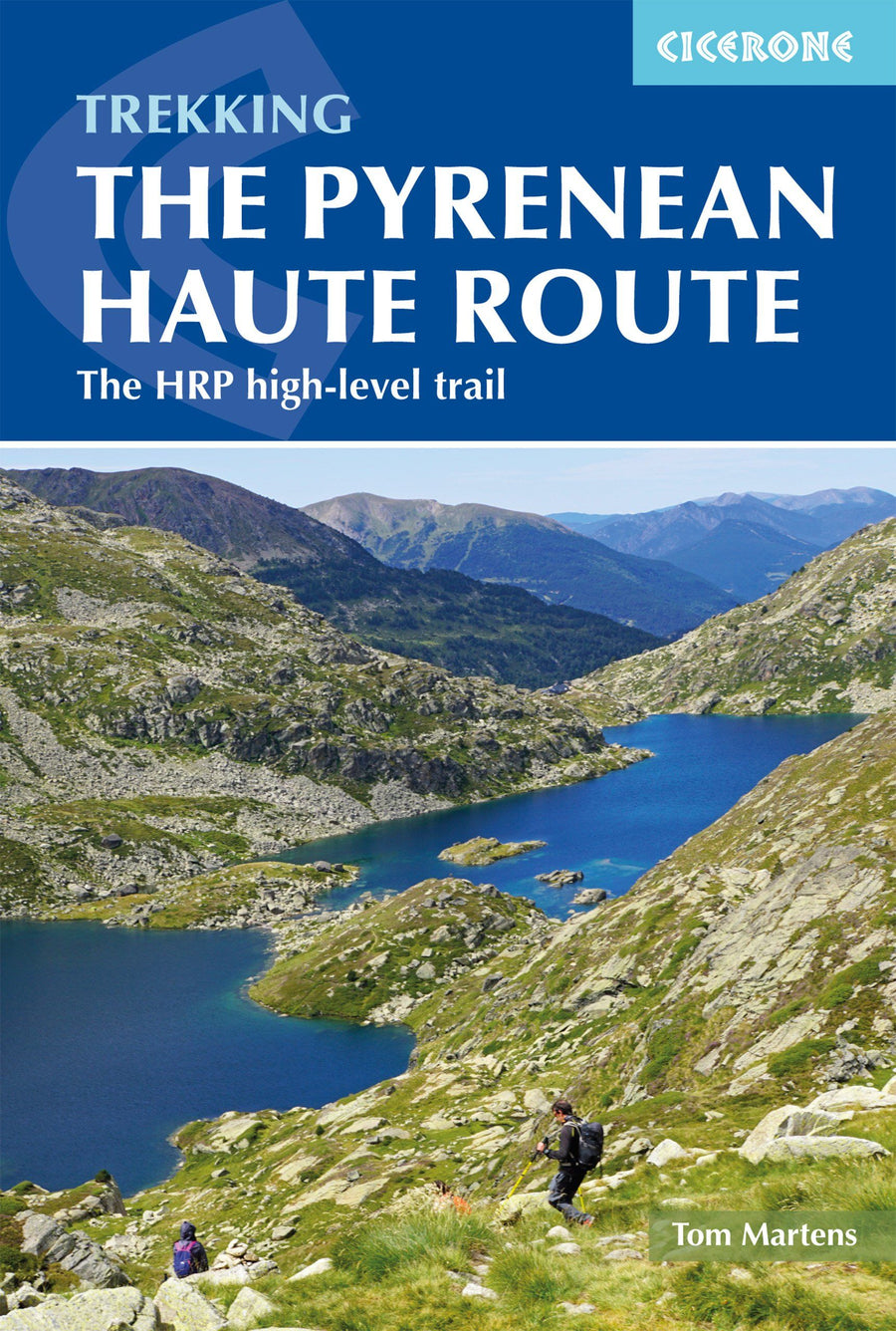
Hiking guide (in English) - High - Route Pyrenene | Cicerone

Price
Regular price $28.00
Regular price Sale price $28.00
Save $-28
/
  • Shipping within 24 working hours from our warehouse in France
  • Delivery costs calculated instantly in the basket
  • Free returns (*)
  • Real-time inventory
  • In stock, ready to ship
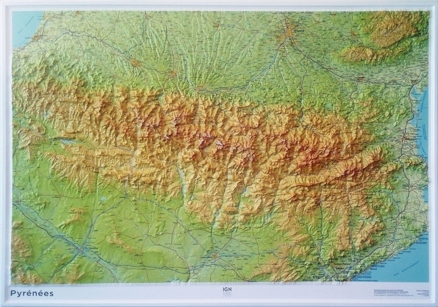
  • Backordered, shipping soon
Tax included.

Often purchased together:

Topoguide of the Cicerone publisher to discover this high mountain route (HRP) crossing the Atlantic Pyrenees to the Mediterranean.

Description provided by the publisher:

THERE ARE THREE MAIN TREKKING ACROSS THE PYRENEES FROM COAST TO COAST: OF THESE, THE PYRENEAN HIGH ROAD (OR HRP FOR HIGH ROAD PYRENEENNE) IS THE MOST CHALLENGING - AND ARGUABLY, THE MOST SPECTACULAR. Unlike The GR10 and GR11, IT IS NOT WayMarked and Borders on Mountaineering at Times, Sticking As Closely as possible to the Main Ridge. IT Stretches 750km from the Atlantic Resort of Hendaye to Banyuls - sur - Mer on the Mediterranean, Crossing The French - Spanish Border Many Times on ITS Traverse.

this guide presents The Pyrenean High Route in 44 Day Internships, Which Are Divided Between Five Sections: Since Each Section Starts and Finishes at A Accessible Rental by Public Transport, they can be Walked IndividualLy if you do not have Have a Spare Month - and - a - half for a complete thru - hike. Although The Road Offers Excellent Opportunities for Wild Camping, Each Stage Finished at A Mountain Hut Gold Village, Meaning That You Can Sleep Under A Roof Every Night If You PREFER.

Clear Route Description is accompanied by 1: 100,000 mapping. There are ARE Bad Weather Variants and Alternatives to Avoid The Most Technical Sections, and The Guide Also Includes Optional Ascements of 10 Classic Summits, Including Vignemale, Pic Du Taillon and The Highest Peak in The Pyrenees, Pico de Aneto.

You'll Also Find Helpful Advice on Travel to and from the road, Equipment and Safety. From The Rolling Green Foothills of the Basque Country to High Pyrenean Landscapes of Aquamarine Lakes Nestled Among 3000m Peaks, The scenery is a as varied as it is beautiful. Highlights Include The Karst Land of Pic Anie, The Ossoue Glacier, Lake Mar in The Picturesque Val Aran and the Dramatic Cirque de Gavarnie with Its Towering Cascade.


ISBN/EAN : 9781852849818
Publication date: 2019
Pagination: 344 pages
Folded dimensions: 12 x 17cm
Language(s): English
Poids : 420 g

Customer Reviews

No reviews yet
0%
(0)
0%
(0)
0%
(0)
0%
(0)
0%
(0)
CampingCard ACSI - Carte de réductions & Guide - Europe 2024 guide pratique ACSI
CampingCard ACSI - Carte de réductions & Guide - Europe 2022 guide pratique ACSI
CampingMap ACSI - Discounts Map & Guide - Europe (French)
ACSI
$25.00
Guide - Randonner aux îles Lofoten guide de randonnée Topo Guide Lofoten
Guide - Hiking to the Lofoten Islands
Topo Guide Lofoten
$33.00
Guide de randonnée - Madère | Rother guide de randonnée Rother
Guide de randonnée - Madère | Rother guide de conversation Rother
Hiking guide - Madeira | Rother (French)
Rother
$21.00
Guide de randonnée - Ténérife | Rother guide de randonnée Rother
Hiking guide - Tenerife | Rother (French)
Rother
$21.00
CampingCard ACSI - Carte de réductions & Aires camping-cars Europe 2024 guide pratique ACSI
CampingCard ACSI - Carte de réductions & Aires camping-cars Europe 2022 guide pratique ACSI
CampingMap ACSI - Map of Discounts & Aires Campsite Europe (French)
ACSI
$34.00