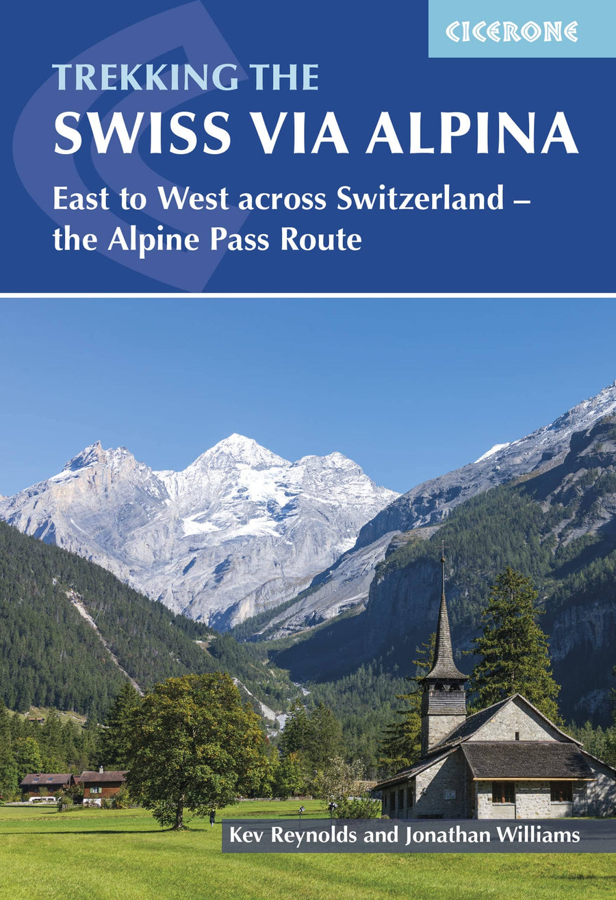
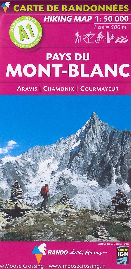
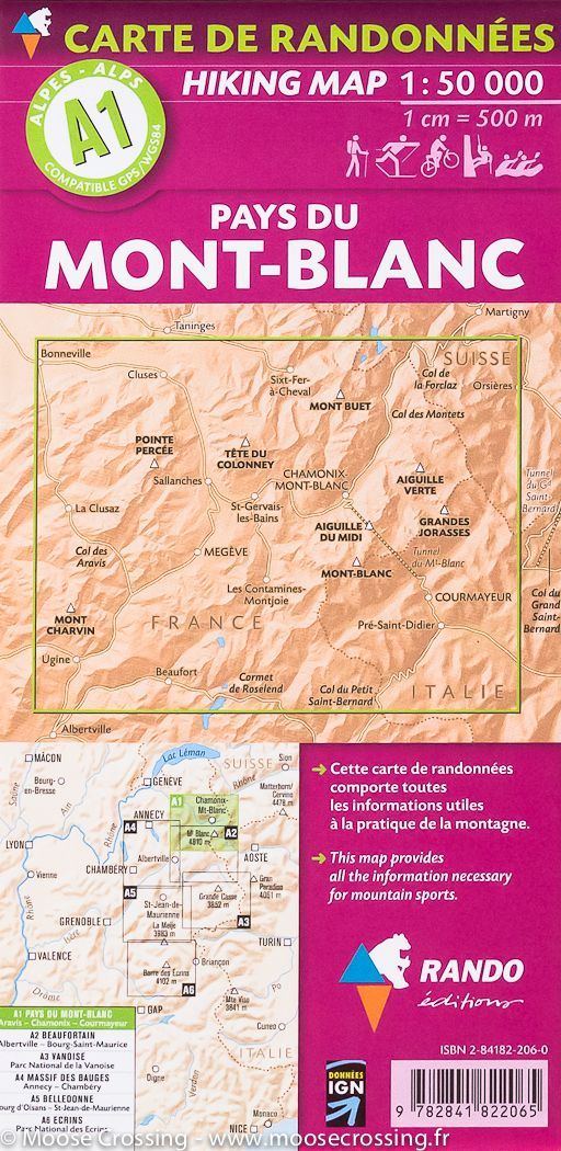
Hiking guide - The Swiss Alpine Pass Route - Via Alpina Route 1 | Cicerone

Price
Regular price $28.00
Regular price Sale price $28.00
Save $-28
/
  • Shipping within 24 working hours from our warehouse in France
  • Delivery costs calculated instantly in the basket
  • Free returns (*)
  • Real-time inventory
  • In stock, ready to ship
  • Backordered, shipping soon
Tax included.

Often purchased together:

Pocket Topoguide (English) of the Cicerone Editor with Detailed Sheets for Hiking on Via Alpina 1.

Description provided by the publisher:
Guidebook to the Alpine Pass Route Following The Swiss via Alpina 1, 360 km Trek East - West Across Switzerland, from Sargans, ON The Border of Liechtenstein, To Montreux, Including Prologue From Liechtenstein. A Demand 3 - Week Trek Described in 18 Internships, Crossing 16 Passes Including The 2778m Hohtürli. Requires Good Fitness and Experience.
Seasons: From The Start of Juley Through to September. August Can Be Wet, and An Early Trek May Find Snow On The Higher Passes, SO Suitable Additional Equipment Woull Be Essential.
Centers: Sargans, Elm, Linthal, Altdorf, Engelberg, Meiringen, Grindlewald, Lauterbrunnen, Kandersteg, Adelboden, Lenk, Gstaad, Col des Mosses, Montreux.
Difficulty: It's Pretty Tough: The Route Cameras Over 20,000m of Ascent and Nearly Every Day Involves A Pass Crossing. SOME HIGHER PASSES AND RIDGES PRESENT Used Exposure and Technical Difficulty.must See Must Seethe Eiger, Monch and Jungfrau Near Grindlewald, Valley - Pass Landscapes Every Day, The Lauterbrunnen Valley, The Oeschinensee Above Kandersteg.


ISBN/EAN : 9781786311603
Publication date: 2023
Pagination: 216 pages
Folded dimensions: 12 x 17cm
Language(s): English
Poids : 250 g

Customer Reviews

No reviews yet
0%
(0)
0%
(0)
0%
(0)
0%
(0)
0%
(0)
CampingCard ACSI - Carte de réductions & Guide - Europe 2024 guide pratique ACSI
CampingCard ACSI - Carte de réductions & Guide - Europe 2022 guide pratique ACSI
CampingMap ACSI - Discounts Map & Guide - Europe (French)
ACSI
$25.00
Guide - Randonner aux îles Lofoten guide de randonnée Topo Guide Lofoten
Guide - Hiking to the Lofoten Islands
Topo Guide Lofoten
$33.00
Guide de randonnée - Madère | Rother guide de randonnée Rother
Guide de randonnée - Madère | Rother guide de conversation Rother
Hiking guide - Madeira | Rother (French)
Rother
$21.00
Guide de randonnée - Ténérife | Rother guide de randonnée Rother
Hiking guide - Tenerife | Rother (French)
Rother
$21.00
CampingCard ACSI - Carte de réductions & Aires camping-cars Europe 2024 guide pratique ACSI
CampingCard ACSI - Carte de réductions & Aires camping-cars Europe 2022 guide pratique ACSI
CampingMap ACSI - Map of Discounts & Aires Campsite Europe (French)
ACSI
$34.00