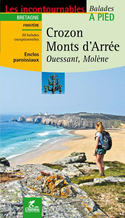
Guide de balades - Crozon, Monts Arée, Ouessant, Molène à pied | Chamina guide de randonnée Chamina
Price
Regular price $12.00
Regular price Sale price $12.00
Save $-12
/
  • Shipping within 24 working hours from our warehouse in France
  • Frais de livraison calculés instantanément dans le panier
  • Retours gratuits (*)
  • Stocks en temps réel
  • In stock, ready to ship
  • Backordered, shipping soon
Tax included.

Souvent achetés ensemble :

The Crozon peninsula is located in Finistère. It is part of the Regional Natural Park of Armorica. Off his ribs, extends the Natural Marine Park of Iroise. In this exceptional environment, it forms a real sanctuary for nature.
The Monts Arrée, also located in Finistère, are an old mountain massif. They constitute a natural limit between Cornouaille, Leon and Trégor. The peaks despite their low altitude (highlight of Brittany: the Roc'h Ruz at 385m altitude) have real mountain decorations, hence their interest in hiking.
The guide also two hikes in Ouessant and Molène, discovering these jewelry of nature.
The guide:
- 48 pages
- Practical format: 12 x 21 cm
- General introduction with presentation of the territory (several developed topics that enrich the knowledge of the crossings crossed)
- 20 routes from 1:30 to 4:00 for a family and sports practice.
- Cartography on IGN background at 1:25 000 to easily locate
- Details of interest centers
- Practical information for safe hikes
- Useful addresses.


ISBN/EAN : 9782844662002
Publication date: 2011
Folded dimensions: 21x14cm
Language(s): French
Poids : 108 g

Customer Reviews

No reviews yet
0%
(0)
0%
(0)
0%
(0)
0%
(0)
0%
(0)
CampingCard ACSI - Carte de réductions & Guide - Europe 2024 guide pratique ACSI
CampingCard ACSI - Carte de réductions & Guide - Europe 2022 guide pratique ACSI
CampingMap ACSI - Discounts Map & Guide - Europe (French)
ACSI
$25.00
Guide - Randonner aux îles Lofoten guide de randonnée Topo Guide Lofoten
Guide - Hiking to the Lofoten Islands
Topo Guide Lofoten
$34.00
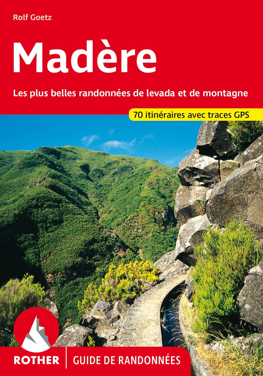
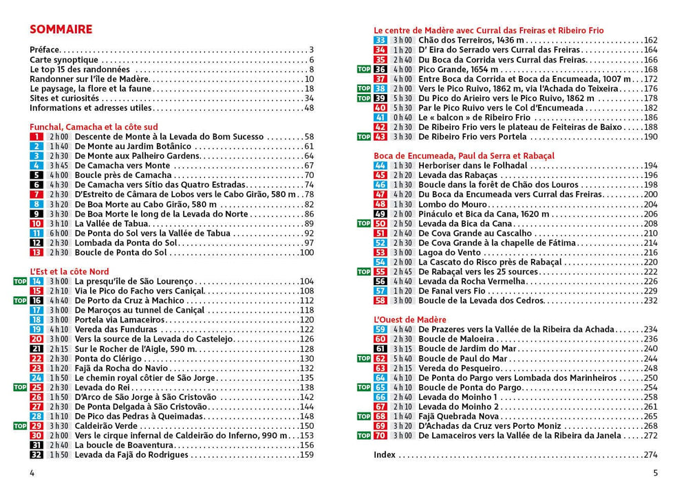
Guide de randonnée - Madère | Rother guide de randonnée Rother
Guide de randonnée - Madère | Rother guide de conversation Rother
Hiking guide - Madeira | Rother (French)
Rother
$21.00
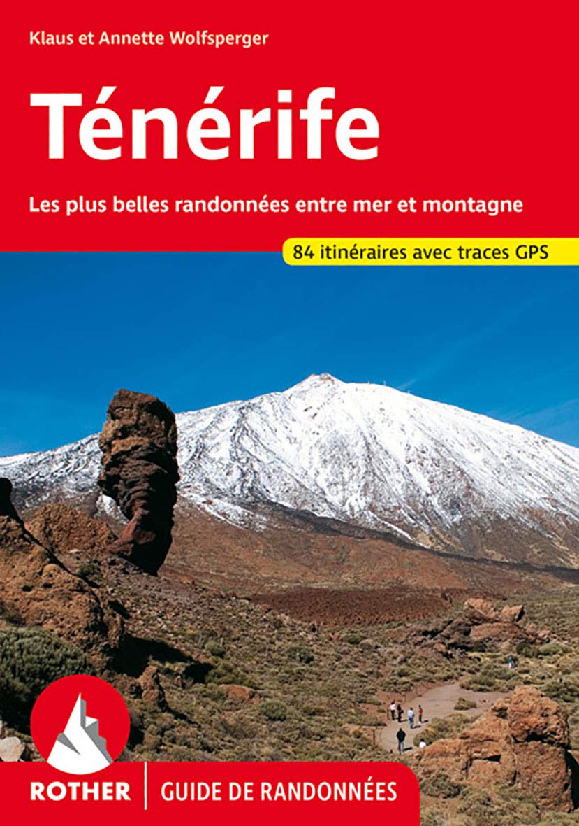
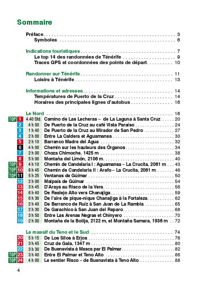
Guide de randonnée - Ténérife | Rother guide de randonnée Rother
Hiking guide - Tenerife | Rother (French)
Rother
$21.00
CampingCard ACSI - Carte de réductions & Aires camping-cars Europe 2024 guide pratique ACSI
CampingCard ACSI - Carte de réductions & Aires camping-cars Europe 2022 guide pratique ACSI
CampingMap ACSI - Map of Discounts & Aires Campsite Europe (French)
ACSI
$35.00