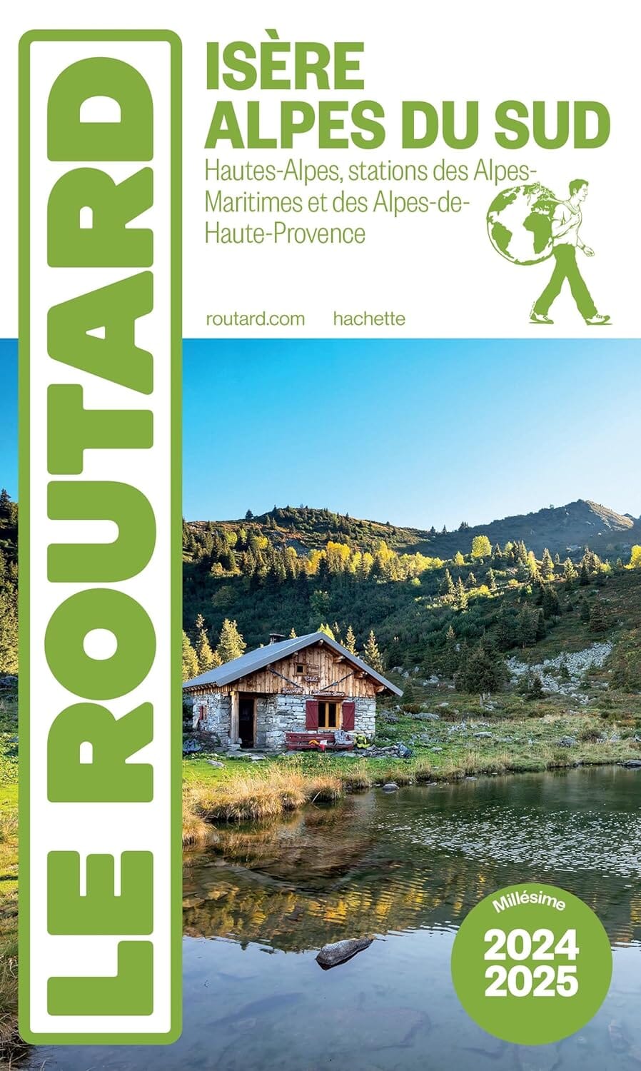
Walking guide - Champsaur, Valgaudemar, Davoluy on foot (Hautes - Alpes) | Chamina (French)

Price
Regular price $13.00
Regular price Sale price $13.00
Save $-13
/
  • Shipping within 24 working hours from our warehouse in France
  • Delivery costs calculated instantly in the basket
  • Free returns (*)
  • Real-time inventory
  • Low stock - 1 item left
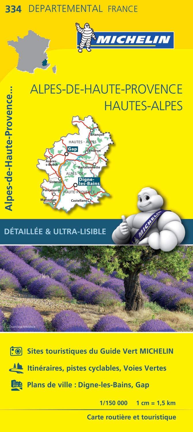
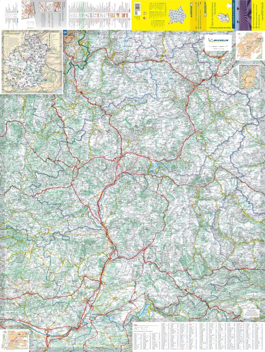
  • Backordered, shipping soon
Tax included.

Often purchased together:

The southwestern part of the Hautes - Alpes department, between Isère, Drôme and Alpes - de - Haute - Provence.
The Champsaur is the Upper Drac Valley, one among the wildest and preserved French alps valley.
The Valgaudemar is a small valley located in the center of the Ecrins massif, whose climax is the bar of the scrubs (4102 m altitude).
The Devoluy Massif is a southern pre - chain that culminates less than 2800 m altitude.
Finally, the topoguide will also take you to the Gapened and the country of Buëch which opens to the southern Alps.

The guide:
- 48 pages
- Practical format: 12 x 21 cm
- General introduction with presentation of the territory (several developed topics that enrich the knowledge of the crossings crossed)
- 21 routes from 1:30 to 6:30 for a family and sports practice
- Cartography on IGN background at 1:25 000 to easily locate
- Details of interest centers
- Practical information for safe hikes
- Useful addresses.


ISBN/EAN : 9782844665935
Publication date: 2022
Pagination: 48 pages
Folded dimensions: 21x14cm
Language(s): French
Poids : 89 g

Customer Reviews

No reviews yet
0%
(0)
0%
(0)
0%
(0)
0%
(0)
0%
(0)
CampingCard ACSI - Carte de réductions & Guide - Europe 2024 guide pratique ACSI
CampingCard ACSI - Carte de réductions & Guide - Europe 2022 guide pratique ACSI
CampingMap ACSI - Discounts Map & Guide - Europe (French)
ACSI
$25.00
Guide - Randonner aux îles Lofoten guide de randonnée Topo Guide Lofoten
Guide - Hiking to the Lofoten Islands
Topo Guide Lofoten
$33.00
Guide de randonnée - Madère | Rother guide de randonnée Rother
Guide de randonnée - Madère | Rother guide de conversation Rother
Hiking guide - Madeira | Rother (French)
Rother
$21.00
Guide de randonnée - Ténérife | Rother guide de randonnée Rother
Hiking guide - Tenerife | Rother (French)
Rother
$21.00
CampingCard ACSI - Carte de réductions & Aires camping-cars Europe 2024 guide pratique ACSI
CampingCard ACSI - Carte de réductions & Aires camping-cars Europe 2022 guide pratique ACSI
CampingMap ACSI - Map of Discounts & Aires Campsite Europe (French)
ACSI
$34.00