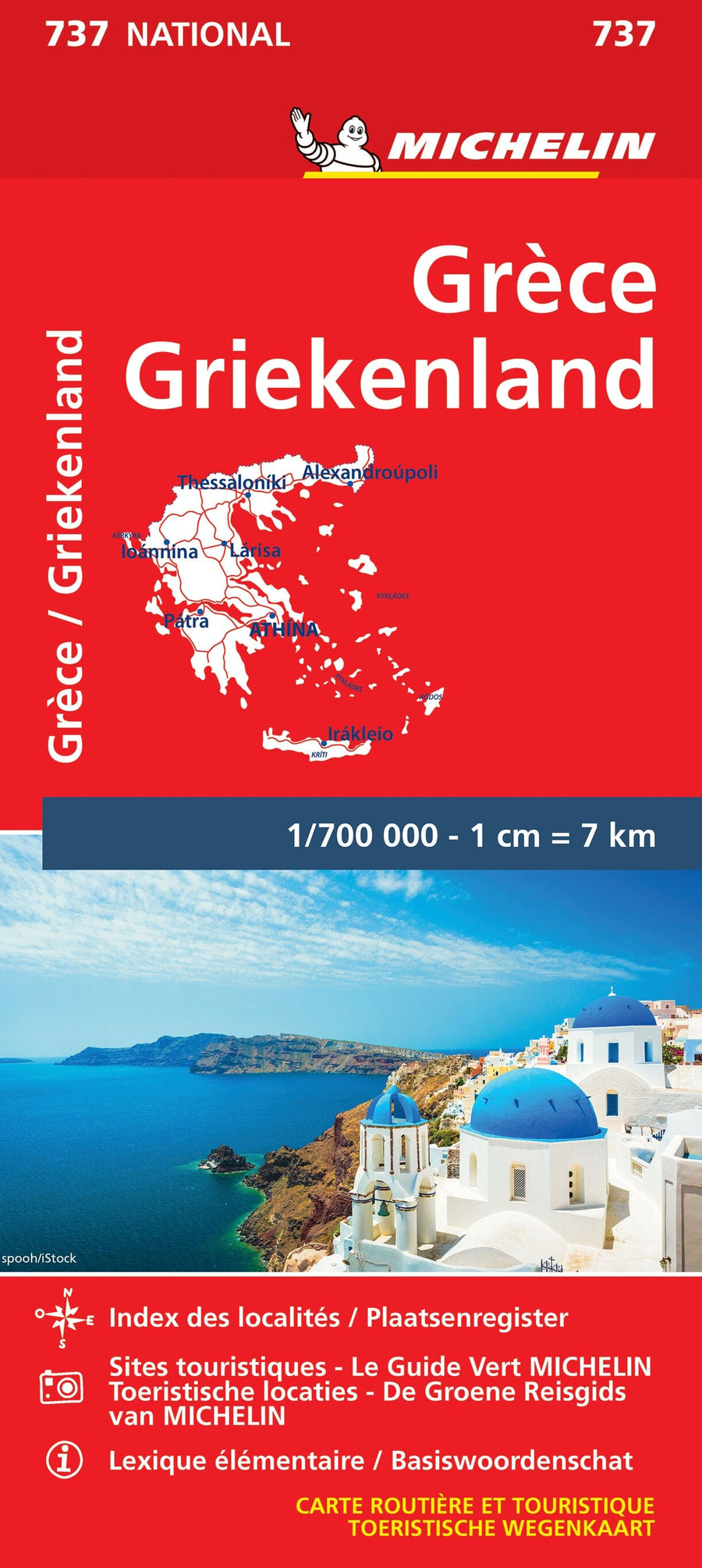
Athens and Peloponnese Travel map published by ITM
The front includes a map of Piraeus, the neighboring port city, with its numerous terminals for ferries to the various Greek islands. A regional public transportation map is also included.
The back covers the peninsula west of Athens, called the Peloponnese, home to Mount Olympus, Sparta, and other legendary ancient city-states, as well as many Greek islands relatively close to Athens (Andros, Chios, Paros, Naxos, Samos, Zakynthos, and Kefalonia, for example).
The legend includes:
Roads by classification, rivers and lakes, national parks, airports, points of interest, highways, major roads, zoos, fishing, and more.
This map is waterproof and tear-resistant.
ISBN/EAN : 9781771290302
Publication date: 2023
Scale: 1/8,000 (1 cm = 80 m) & 1/625,000 (1 cm = 6.25 cm)
Printed sides: both sides
Folded dimensions: 24.6 x 10.3 x 0.5cm
Unfolded dimensions: 69 x 100cm
Language(s): English
Weight:
60 g


