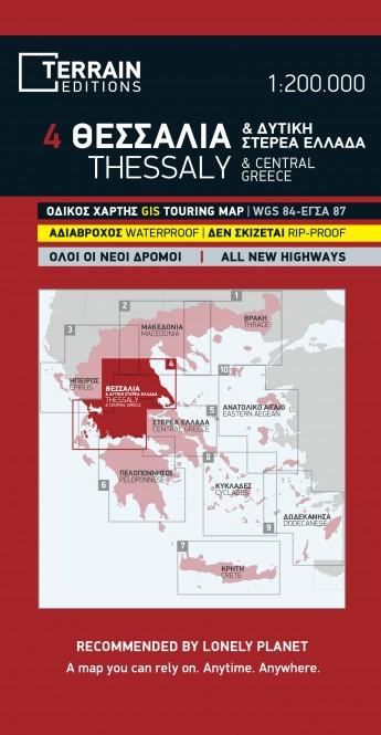
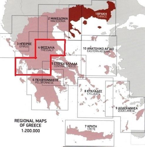
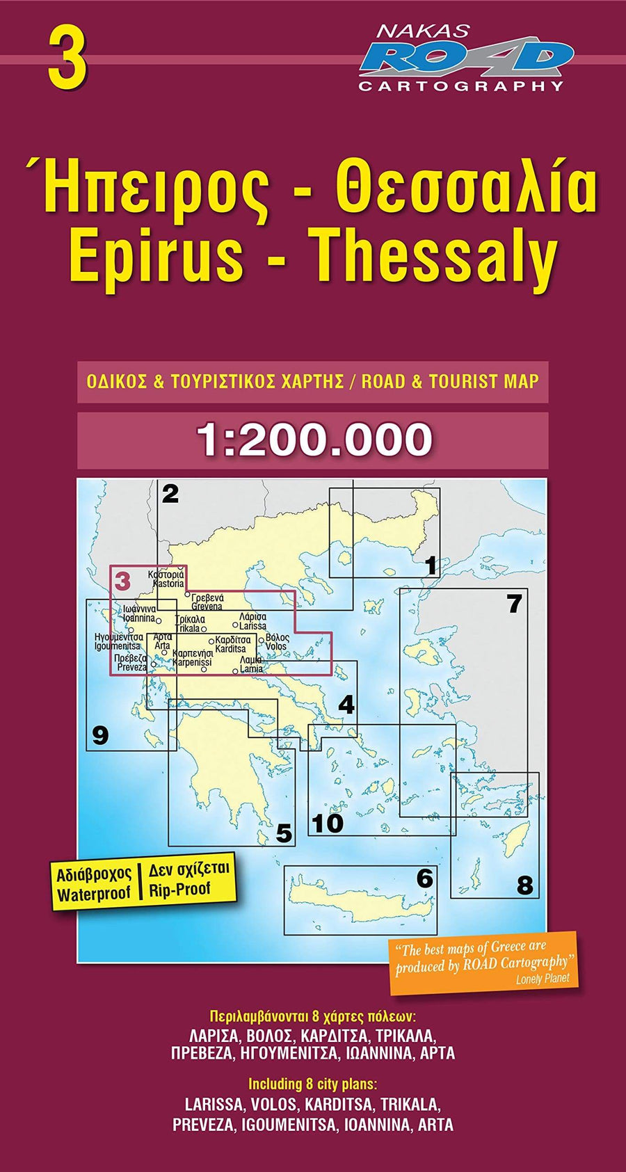
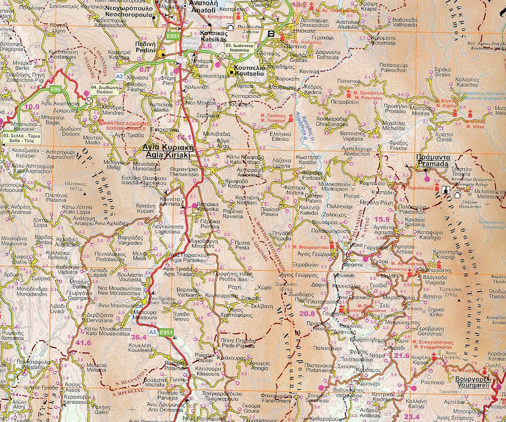
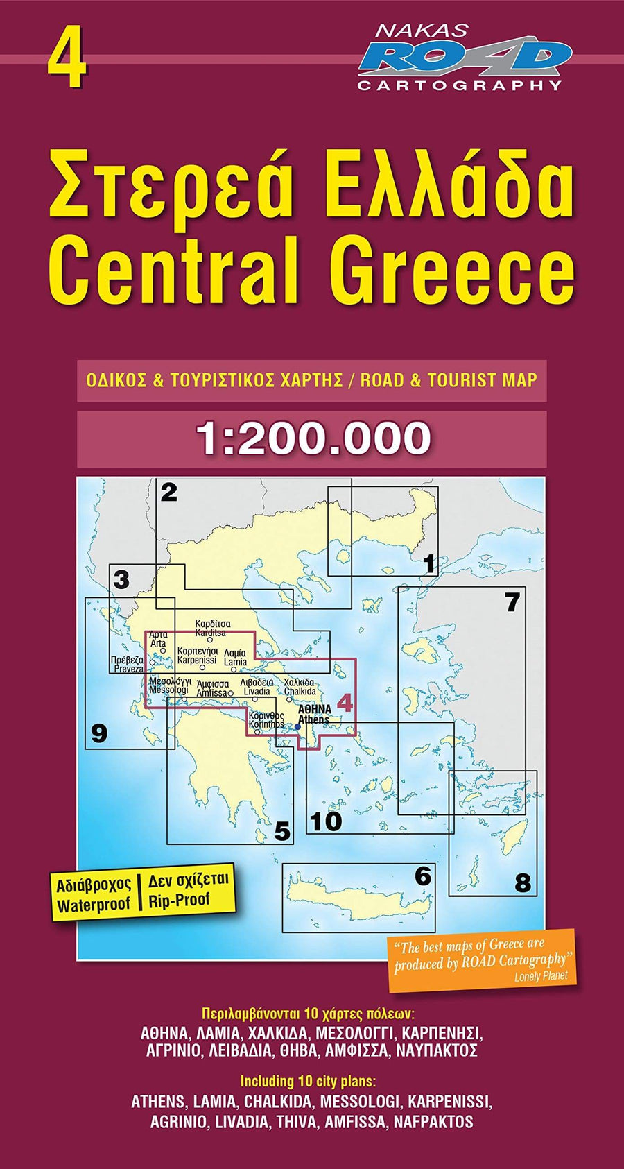
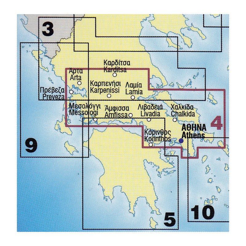
Road map of Central Greece published by Anavasi. This detailed map covers half of the mainland Greece, Konitsa in Katerini in the North and Messolongi in Thiva in the South. Includes the areas of Mount Olympus and Parnasse. Includes all the new highways (Egnatia, Ionian, Athens - Salonics), shady relief with mountain names, lakes and rivers, towns and villages, monasteries, monuments, national parks, Europeans (E4, E6) and national (O1, O2, O3), mountain refuges, ski resorts etc. 10 proposals for excursions to the most beautiful destinations are also included with this map. Index of cities included.
This detailed map of the central Greece is waterproof and resistant to the tear.
Scale 1/250 000 (1 cm = 2.5 km).
ISBN/EAN : 9789609412063
Publication date: 2021
Scale: 1/250,000 (1cm=2.5km)
Printed sides: both sides
Folded dimensions: 24.5 x 13cm
Unfolded dimensions: 68 x 92cm
Language(s): English, Greek
Weight:
90 g


