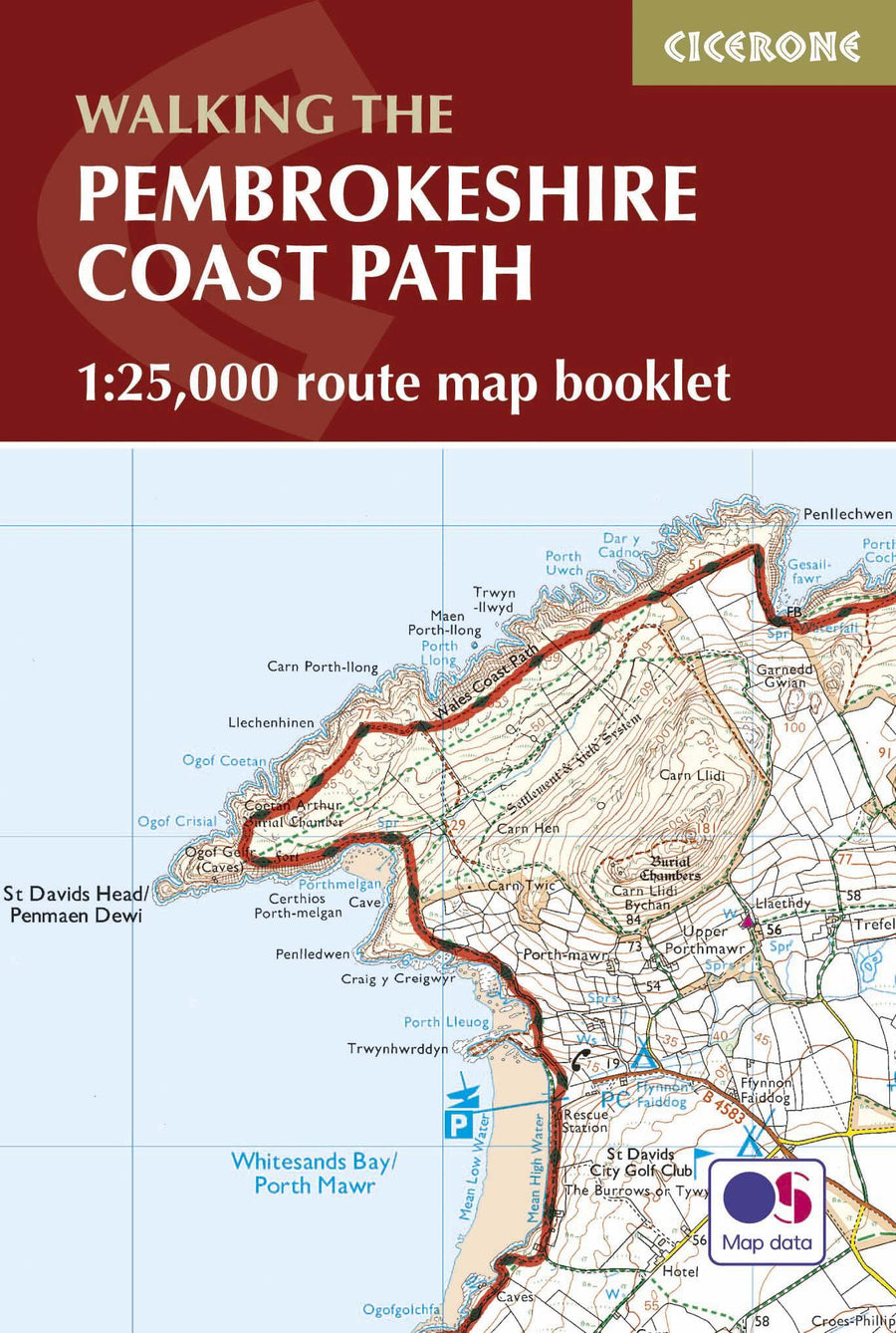
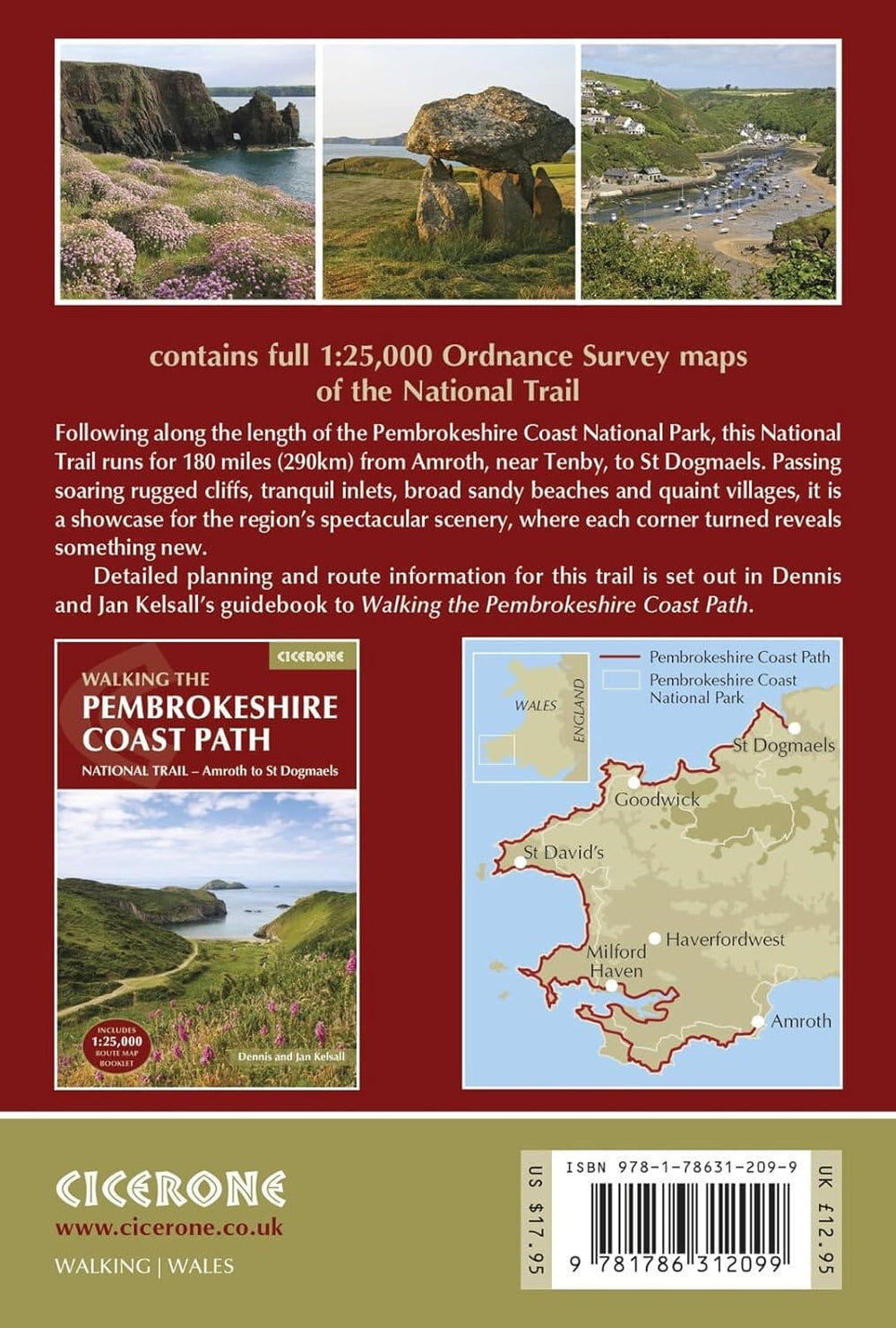
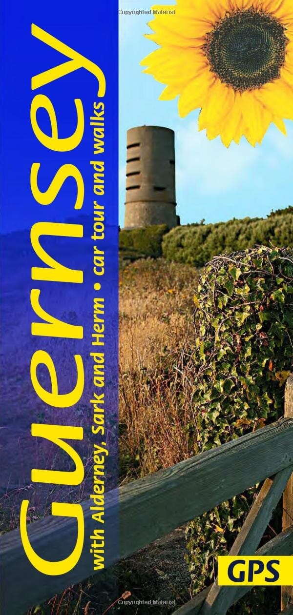
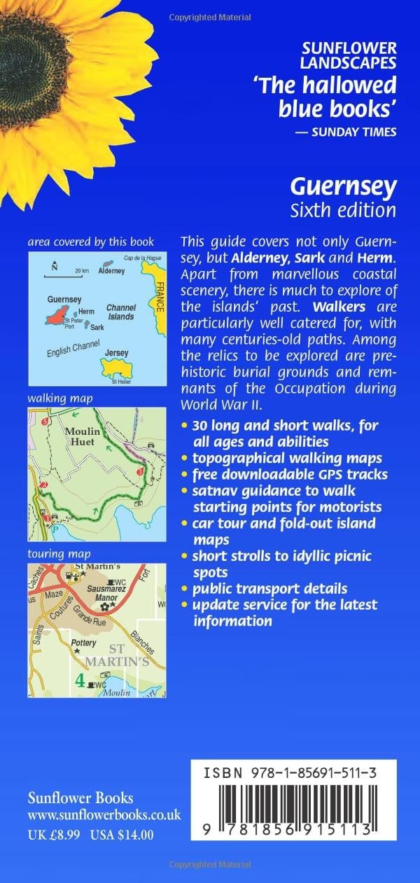
Hiking guide (in English) - Guernsey | Cicerone

Price
Regular price $22.00
Regular price Sale price $22.00
Save $-22
/
  • Shipping within 24 working hours from our warehouse in France
  • Delivery costs calculated instantly in the basket
  • Free returns (*)
  • Real-time inventory
  • In stock, ready to ship
  • Backordered, shipping soon
Tax included.

Often purchased together:

Pocket Topoguide (English) of the Cicerone publisher with detailed maps for hiking on the island of Guernsey.

Description provided by the publisher:

Guidebook to 25 Short, Easy walks Exploring The Channel Islands of Guernsey, Alderney, Sark and Herm. Including The Guernsey Coastal Walk, The Routes Cover A Total Of 140 Miles Mainly On Paths, Tracks and Quiet Roads, and Can Be Easily Combined to Make Longer Journeys. Includes Notes on Travel and the Fascinating History of the Islands.
Seasons: ALL YEAR ROUND, Purpose Party Good in Spring When The Wild Flowers Are at Their Most Colourful Busy During The Summer, With Long, Sunny Days Quieter in Autumn Somemes Bleak in the Winter.
Centers: St Peter Port.
Difficulty: Good Paths and Tracks are Used, Along with Quiet Country Roads, Avoiding Main Roads Wheever Possible Gradients Are often Gentle, Goal There are some Rugged Cliff Paths and Used Steep Slopes Short walks Can Be Combined to Make Longer Ones.
MUST SEE: Excellent Cliff Coastline, Rocky and Sandy Beaches Absorbing Historical Features - Prehistoric Sites, Castles and Churches, As Well AS Concrete Reminders of the Nazi Occupation TRIPS TO THE SMALLER ISLANDS OF ALDERNEY, SARK AND HERM ARE ESCECIALLY Recommended


ISBN/EAN : 9781786311306
Publication date: 2023
Pagination: 208 pages
Folded dimensions: 12 x 17cm
Language(s): English
Weight: 250 g

Customer Reviews

No reviews yet
0%
(0)
0%
(0)
0%
(0)
0%
(0)
0%
(0)
Atlas - Lake District National Park | Harvey Maps - Outdoor atlas carte pliée Harvey Maps
Atlas - Lake National Park District | Harvey Maps - Outdoor Atlas
Harvey Maps
$18.00
Carnet d'itinéraires (en anglais) - Cotswold Way - Route Map Booklet | Cicerone guide de randonnée Cicerone
Hiking guide - Cotswold Way | Cicerone
Cicerone
$15.00
Guide de randonnées (en anglais) - Pembrokeshire Coast Path map booklet | Cicerone guide de randonnée Cicerone
Carnet d'titinéraires (en anglais) - Pembrokeshire Coast Path | Cicerone guide de randonnée Cicerone
Hiking guide - Pembrokeshire Coast Path | Cicerone
Cicerone
$19.00
Carte de plein-air - Cannock Chase | Harvey Maps carte pliée Harvey Maps
Outdoor map - Cannock Chase | HARVEY MAPS
Harvey Maps
$15.00