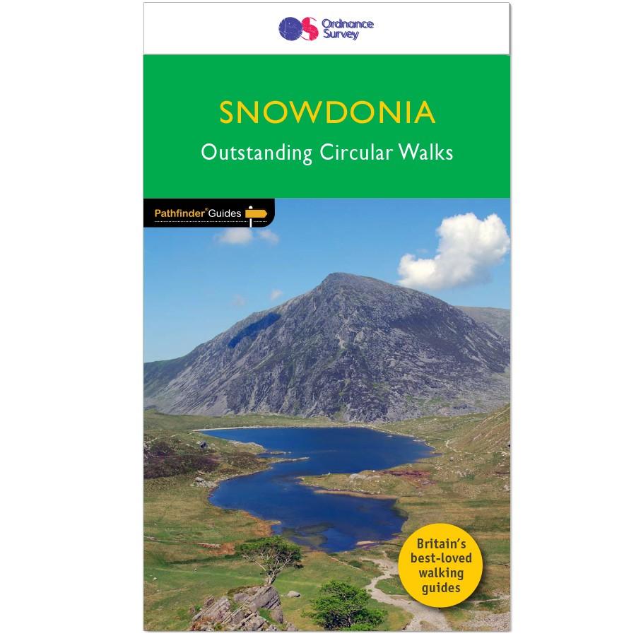
Hiking map - Snowdonia South / Cadair Idris & Dolgellau XT25 | Harvey Maps - Superwalker maps

Price
Regular price $26.00
Regular price Sale price $26.00
Save $-26
/
  • Shipping within 24 working hours from our warehouse in France
  • Delivery costs calculated instantly in the basket
  • Free returns (*)
  • Real-time inventory
  • Low stock - 1 item left
  • Backordered, shipping soon
Tax included.

Often purchased together:

Waterproof hiking map at 1:25,000 published by Harvey Maps, ideal for discovering the most beautiful regions of England, Wales or Scotland.
Original description from the publisher:

More than a map - an essential piece of equipment. This new generation HARVEY Superwalker is designed to be the most practical tool for outdoor navigation. Detailed maps for hillwalking in Eryri (Snowdonia) National Park Strong, durable, 100% waterproof maps printed on polyethylene Snowdonia Central includes Rhinog Fawr, Rhinog Fach and Moelwyn Mawr Snowdonia South includes Cadair Idris, Tarren Hendre and Aran Fawddwy Opens directly to either side of the sheet Includes rights of way and shows pubs and cafes for the end of the day Welsh and English text Exceptionally clear and uncluttered by information irrelevant to the walker.


ISBN/EAN : 9781851376810
Publication date: 2024
Scale: 1/25,000 (1cm=250m)
Printed sides: both sides
Folded dimensions: 11.6 x 24.3cm
Unfolded dimensions: 48.6 x 140cm
Language(s): English
Weight: 70 g

Customer Reviews

Be the first to write a review
0%
(0)
0%
(0)
0%
(0)
0%
(0)
0%
(0)