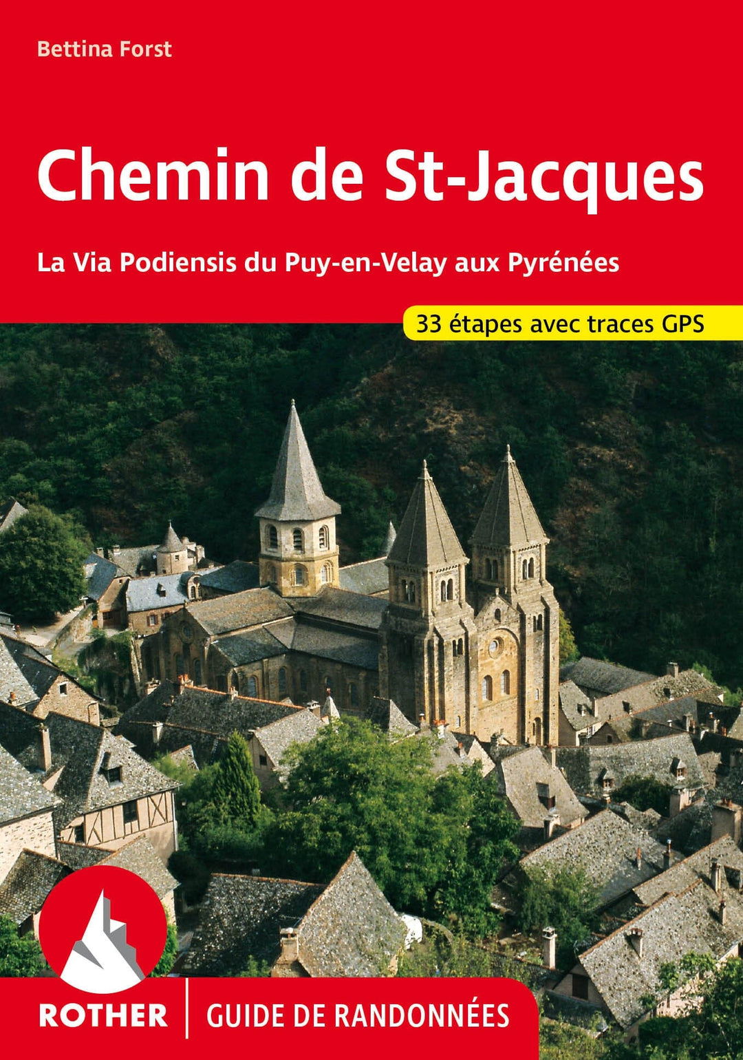
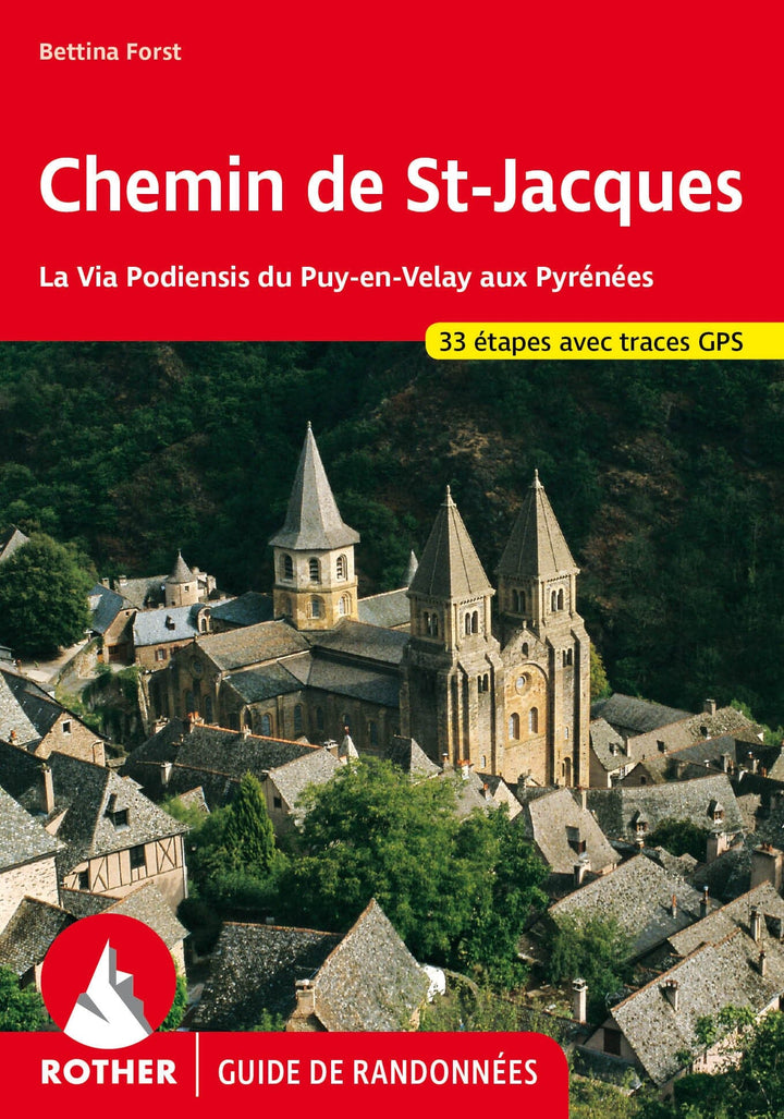
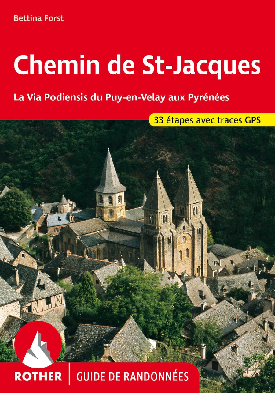
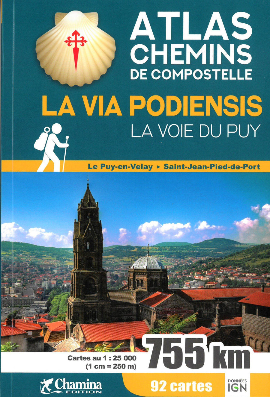
Hiking guide from St Jacques Path (La Via Podiensis du Puy-en-Velay to the Pyrenees) published by rother.
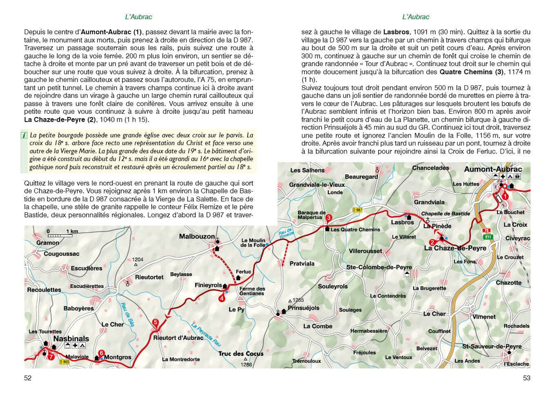
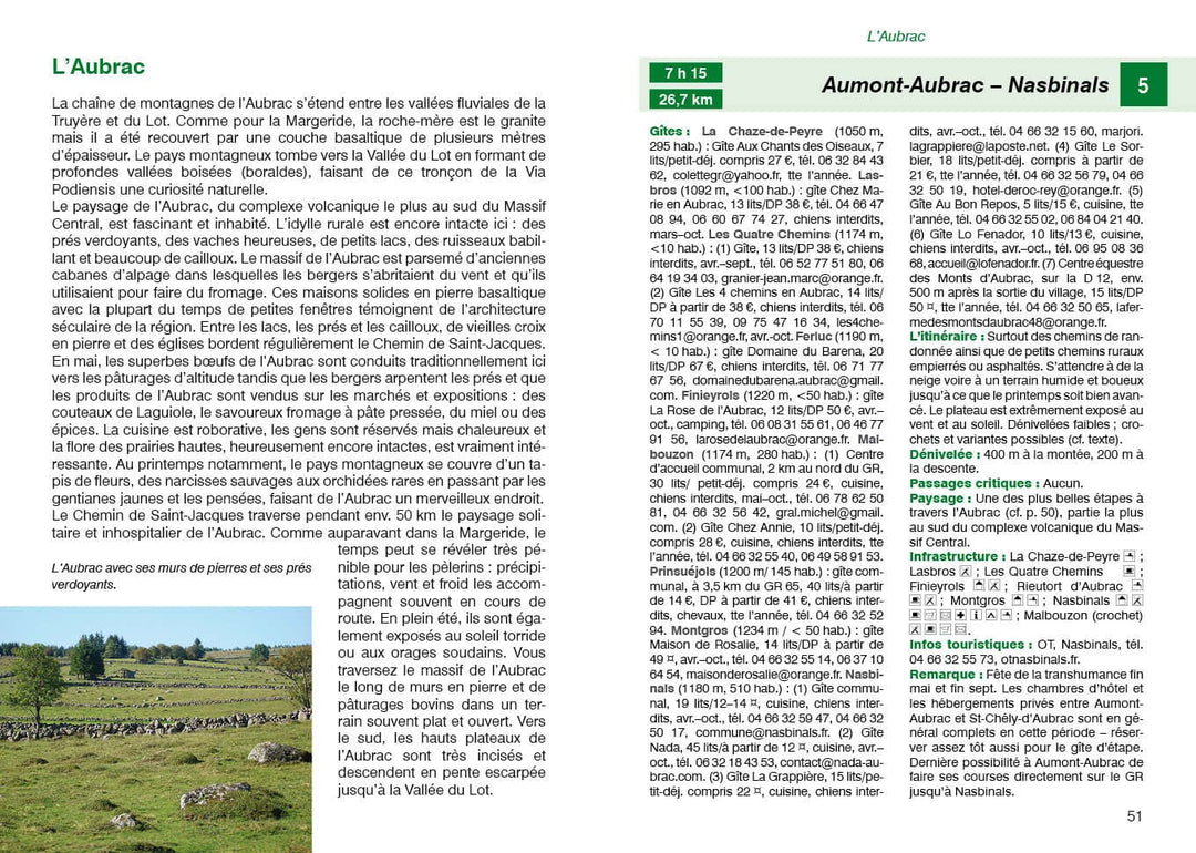
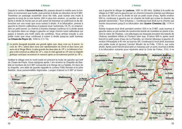
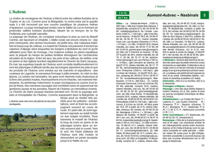
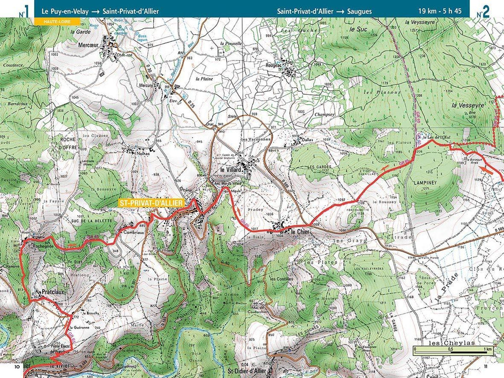
A brief description of the hike with all important information, a color map and a precise description of the itinerary for each excursion facilitate the choice and orientation on Square.
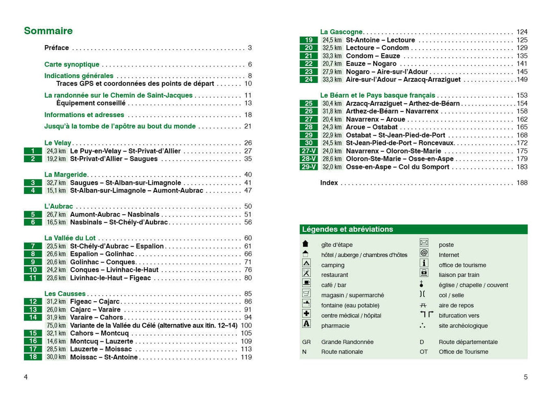
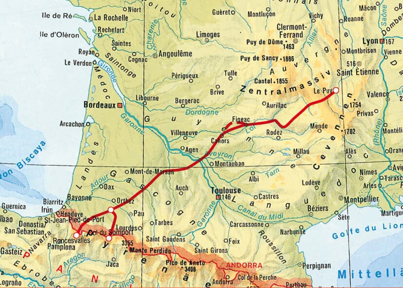
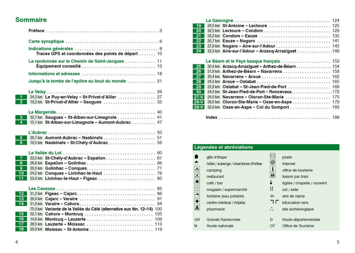
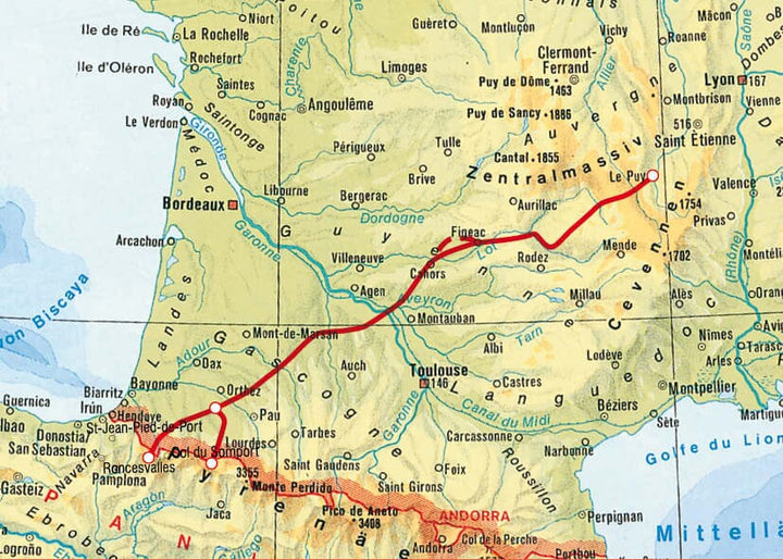
Summary and example - type photo. 192 pages with 90 color photos, 38 scale Hiking maps 1: 100,000, a small 1: 250,000 scale map, three city shots, 34 altitude profiles and two synoptic maps.
Editor's note: The pilgrimage paths that lead to St - Jacques - de - Compostela until the tomb of the Apostle St - Jacques stretch throughout Europe. For more than a millennium, the pilgrims of Europe from the center, West and North, walk southwestern France to the Pyrenees chain and then continue towards St - Jacques - de - Compostela. On the four major roads that cross France, Via Podiensis, which starts at the Puy-en-Velay in the south of the Massif Central, is considered an exceptional way, whether cultural or natural landscapes.
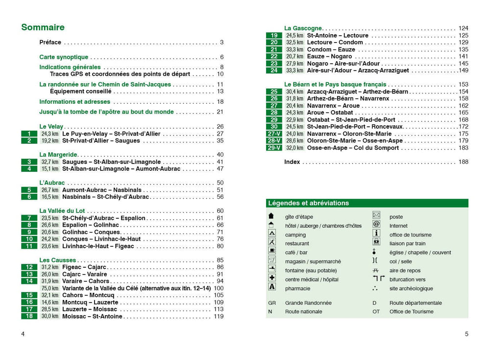
Bettina Forest regularly borrows this section of the pilgrimage paths in Europe and also accompanies groups of hikers. It describes the Via Podiensis, with the markup of the GR 65, in 33 steps in total until the junction with the Spanish pilgrimage path that takes over to St - Jean - Pied - de - Port / Roncevaux or even at the pass of the Somport . The route, as much appreciated by pilgrims and hikers, stretches in the south charming central massif by the isolated lands of the Margeride and the Aubrac massif, through the seductive valley of the lot, the limestone plateaus of the causses and the hilly landscape of Gascony to the Pyrenees. The mountainous and high plains sparsely populated areas and where agriculture is almost absent, offer a varied flora between large wooded expanses, streams and natural lakes. At the heart of this region so rich in surprises, churches, convents, castles, forts and small medieval towns line the way.
Detailed maps, accurate descriptions From each of the sections, including informative altitude profiles and complete information on the infrastructure along the way, such as medical care, businesses or public transport, facilitate the individual planisphere of hikes, even independently of the stages chosen in the guide. The author also gives a lot of information on the location and equipment of the cottages along the path. GPS traces can be downloaded for all stages - even for variants through the Vallée du Célé and until the pass of the Sumport. Tips for planisphere and equipment at the beginning of the book make even more practical the fifth edition of this Rother Hiking guide. Particular attention is given further to Culturo - historical and natural sites. Relevant photos offer a first impression of the diversity of Via Podiensis and make you want to browse the oldest cultural landscapes in Europe.
ISBN/EAN : 9783763349838
Publication date: 2024
Pagination: 192 pages
Folded dimensions: 12 x 17cm
Language(s): French
Weight:
220 g


