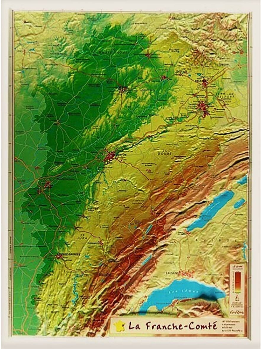
Please note that this map is laminated on demand, based on the original map which is folded. The folds remain a little visible.
The card is delivered rolled in a cardboard tube.
An additional period of around ten days is required for the production of the card.
As this product is custom made at the request of our customers, it cannot be returned to us.
Map information:
- Approximate dimensions: 143 x 100 cm.
- Distances shown on the map. Tourist information and city index included. Terrain representation, indication of Grande Randonnée (GR) trails.
- Scale 1:250,000 (1 cm = 2.5 km).
ISBN / EAN : 9782758556855P
Date de publication : 2025
Echelle : 1/250,000 (1cm=2.5km)
Impression: front
Dimensions déplié(e) : 143 x 100cm
Langue : French, English, German
Poids :
300 g


