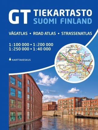
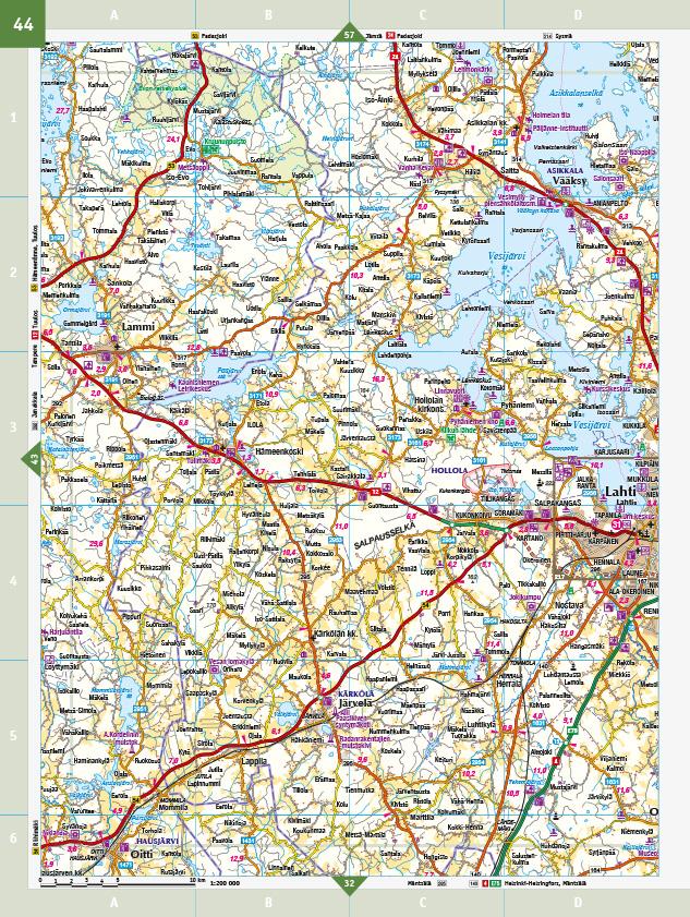
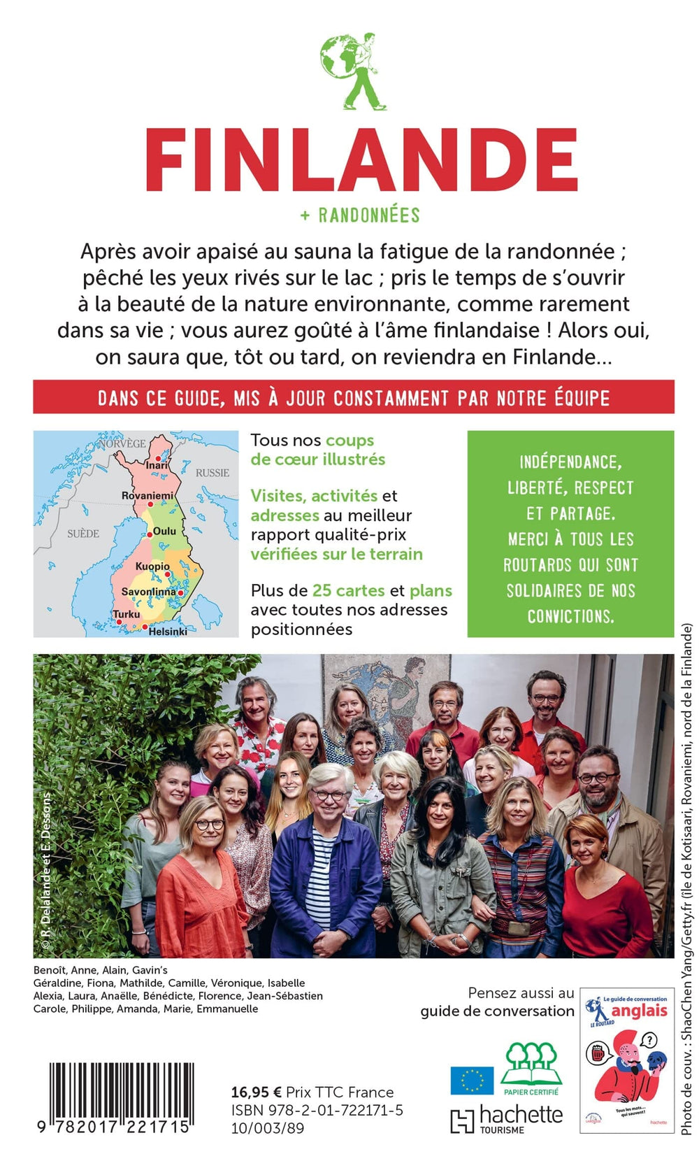
The Atlas covers the country with two scales 1: 200,000 (for southern Finland) and 1: 250,000 (for the North). The road network includes unpaved roads and local roads maintained privately. Indication of distances on major axes, gas stations locations, etc. Railway lines are indicated with the stations Local airports and coastal ferry are marked. The symbols indicate campgrounds, hostels, holiday villages, leisure facilities, places of cultural or natural interest, etc.
National Parks and other protected areas are also highlighted.
More than 50 cities shots at 1:40 000 level cover the main urban areas and tourist localities.
The GT Road atlas Finland is easy to read and the legend is in Finnish, Swedish, English and German.
The Atlas contains an index of place names of more than 60,000 names.
ISBN/EAN : 9789522667250
Publication date: 2022
Pagination: 352 pages
Scale: 1/100,000 (1cm=1km) & 1/200,000 & 1/250,000
Folded dimensions: 22x30cm
Language(s): English, Finnish
Weight:
1010 g


