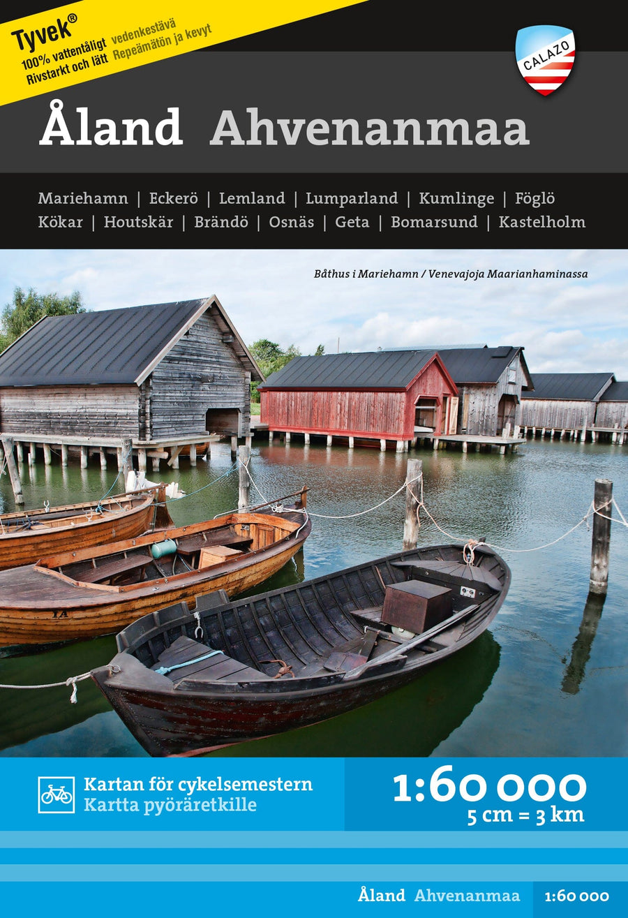
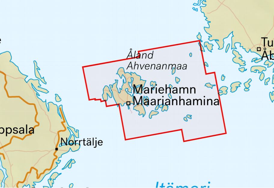
Åland is an ideal destination for cyclists, kayakers, and hikers. The map covers the entire Åland Islands, including its archipelagos in mainland Finland, as far as Kustavi and Korppoos. Hiking routes, nature trails, and other hiking services, as well as museums, are marked on the map. For paddlers and tour skaters, the map also contains information on nautical charts, such as lines, other sea markings, and depth information.
ISBN/EAN : 9789188335821
Publication date: 2022
Scale: 1/60,000 (1cm=600m)
Printed sides: both sides
Folded dimensions: 13 x 21cm
Language(s): English, Finnish
Weight:
60 g


