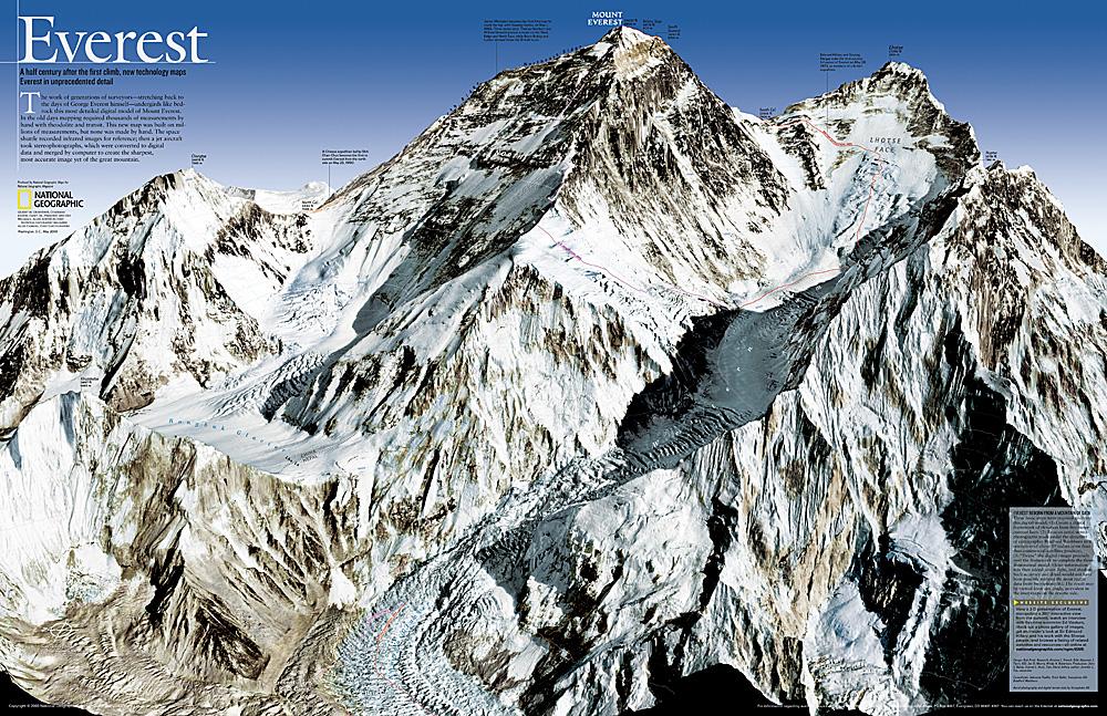
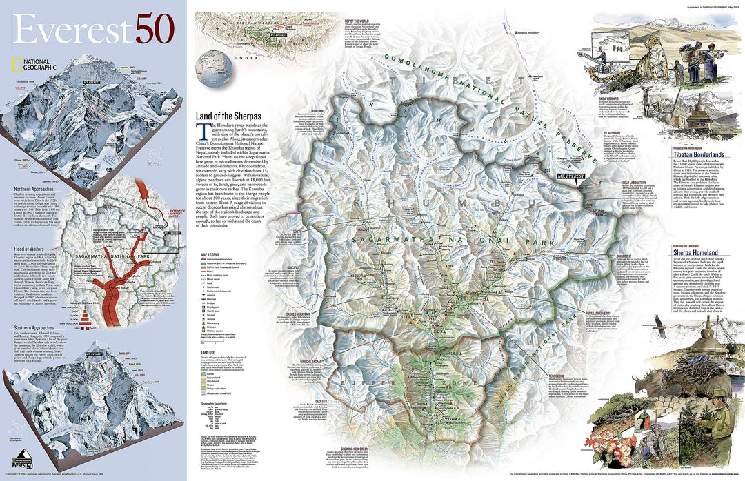
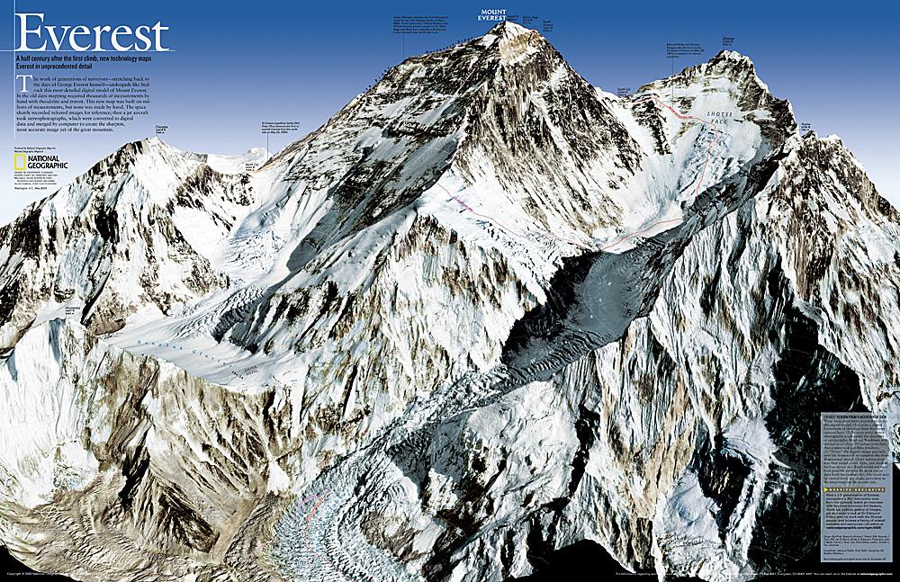
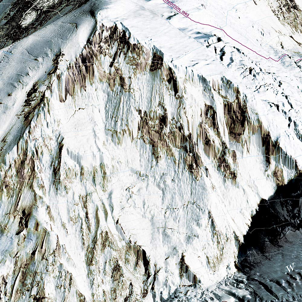
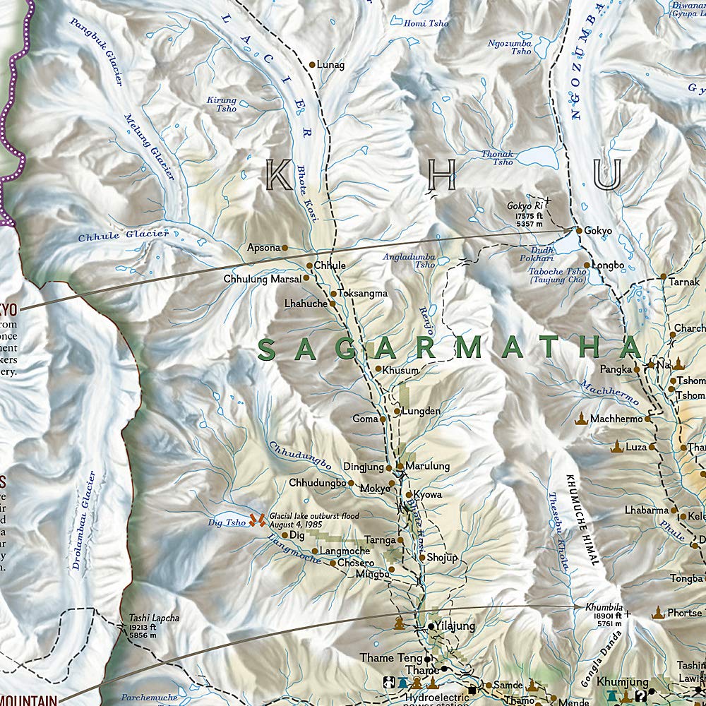
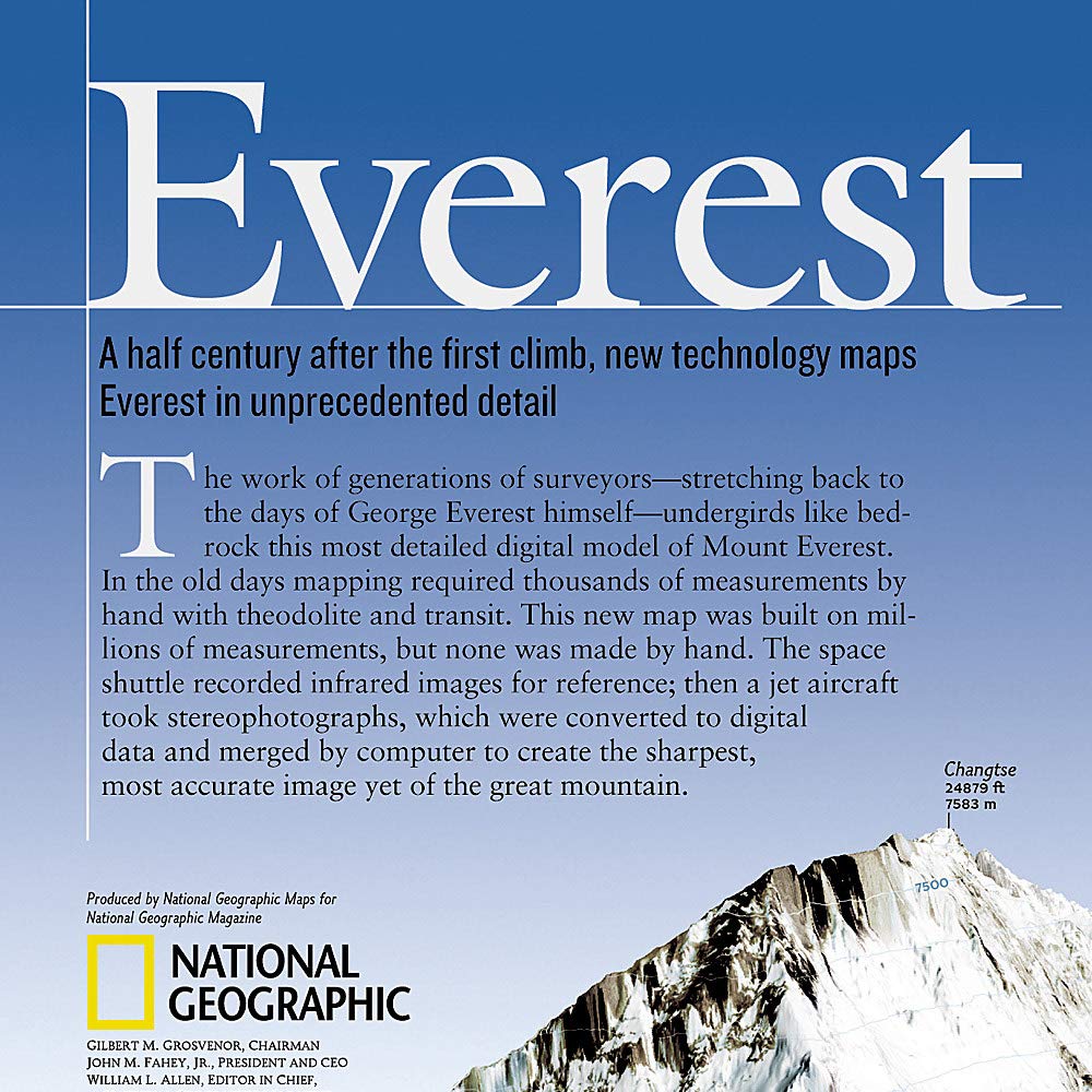
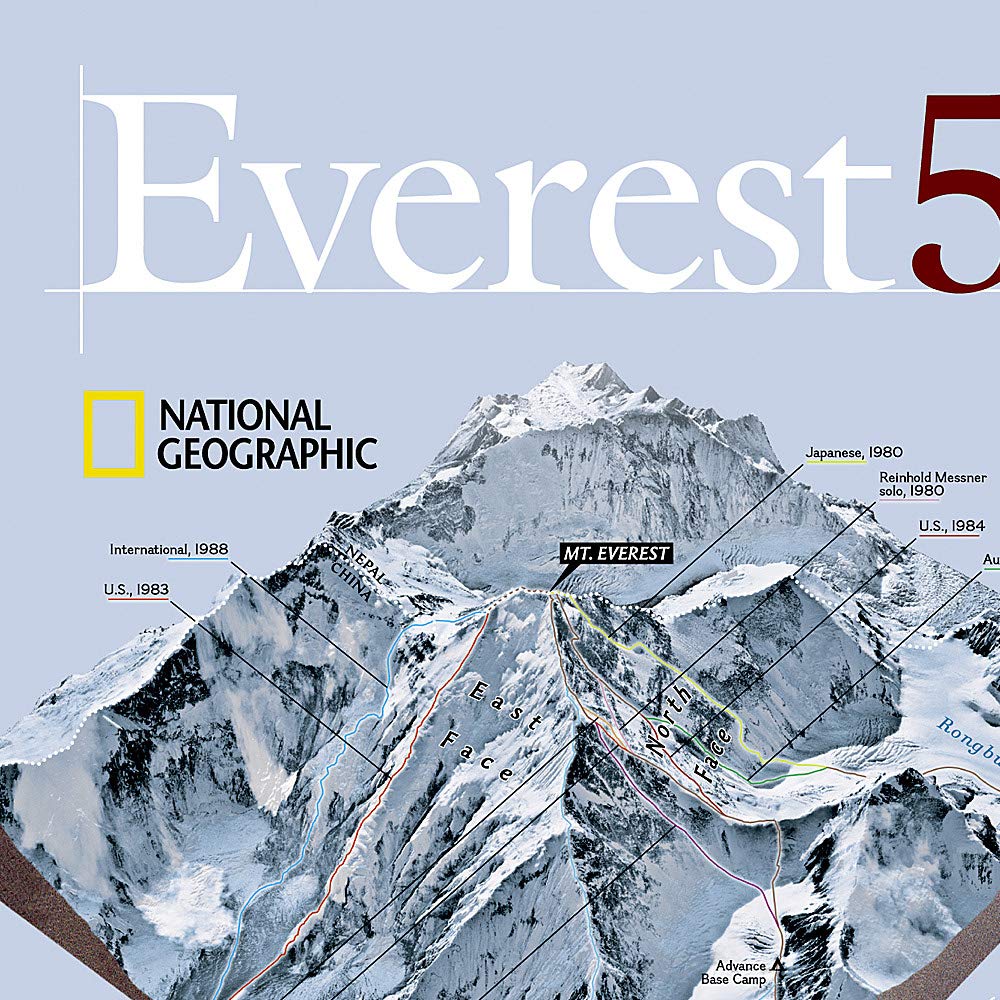
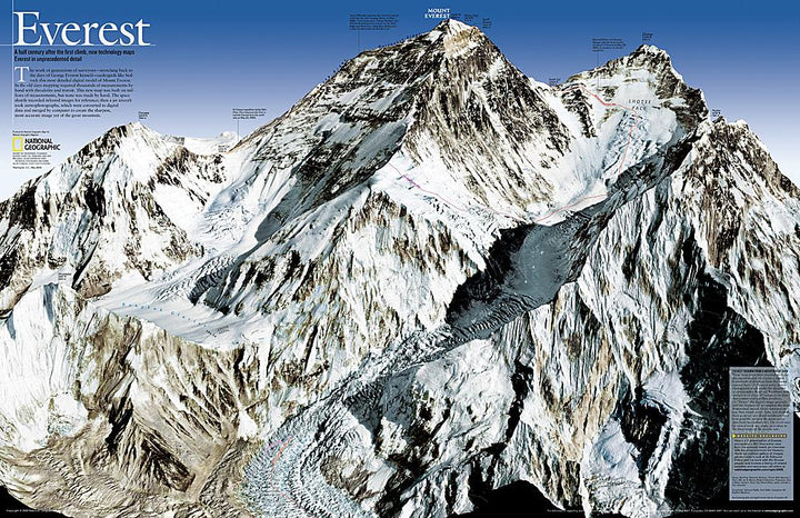
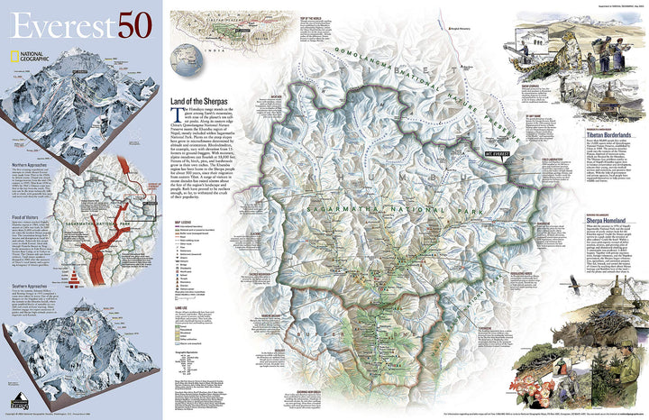
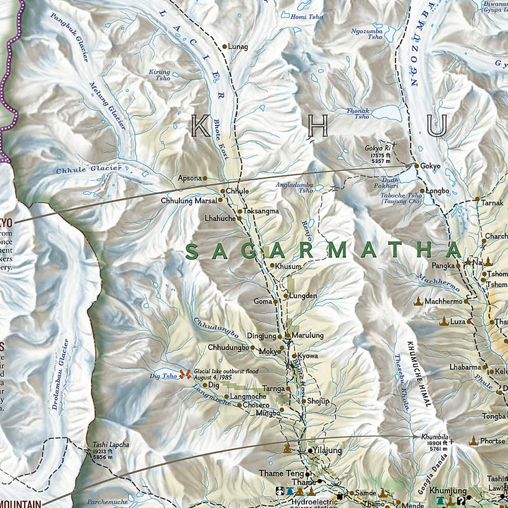
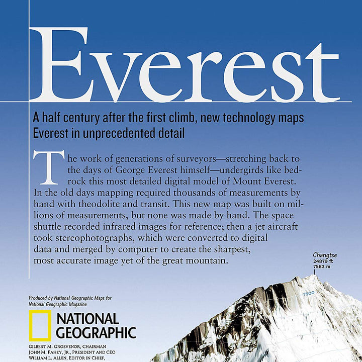
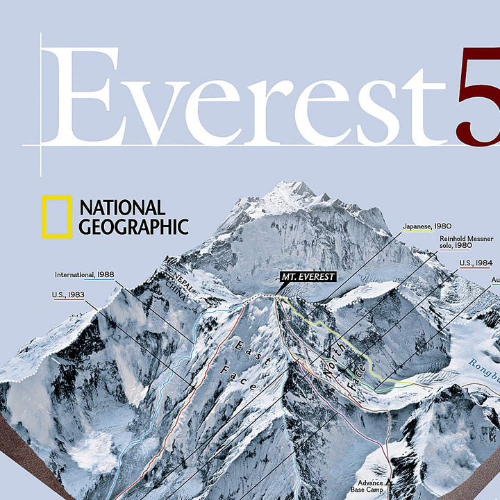
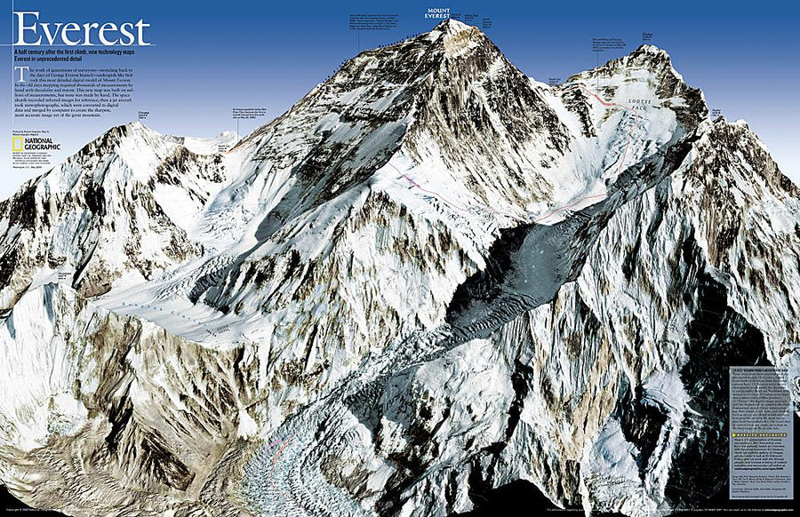
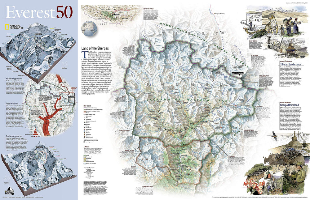
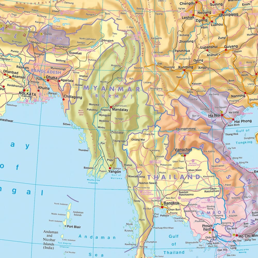
As the May 2003 issue of National Geographic, this double - sided map celebrates the 50th anniversary of the rise of Sir Edmund Hillary at the Mont. Everest. The first part presents a digital rendering of Mount Everest, created from infrared images taken by the spatial shuttle, combined with stereoscopic photographs taken from a reaction plane. The work of generations of surveyors, which dates back to George Everest himself, underlies the most detailed digital model of Mount Everest. The back shows a map of Sagarmatha National Park and its surroundings. Inserts and informative boxes describe the Sherpas, special locations in the region, visitors' growth in the region and routes borrowed by the famous Everest shipments.
Delivered in a laminated protection tube.
Available in paper version or laminatedized.
Note: For the laminated map, an additional time of a few days may be necessary for laminating.
Date de publication : 2010
Impression: both sides
Dimensions déplié(e) : 119 x 78cm
Langue : English


