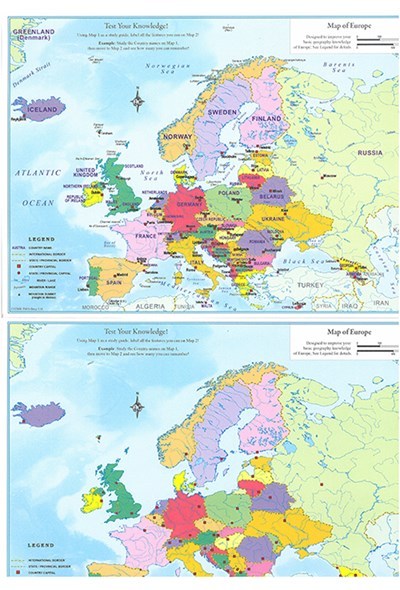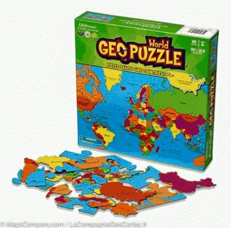


Set of 2 educational maps (in English) - Europe | ITM
Regular price
$11.00
Regular price
Sale price
$11.00
Save $-11
/
- Shipping within 24 working hours from our warehouse in France
- Delivery costs calculated instantly in the basket
- Free returns (*)
- Real-time inventory
- Low stock - 1 item left
Related geographic locations and collections: Educational games for children, Europe, Western Europe