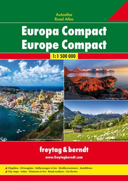
Road atlas - Europe (Compact) | Freytag & Berndt

Price
Regular price $14.00
Regular price Sale price $14.00
Save $-14
/
  • Shipping within 24 working hours from our warehouse in France
  • Delivery costs calculated instantly in the basket
  • Free returns (*)
  • Real-time inventory
  • Low stock - 1 item left
  • Backordered, shipping soon
Tax included.

Often purchased together:

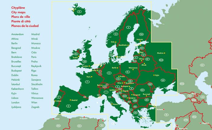
Road atlas of Europe published by Freytag & Amp Berndt. In addition to the clear presentation of Road maps, this atlas contains a lot of additional information, such as road conditions, attractions, campsites and various maps of cities. Index of cities included.
Included: the distances in km, the street numbers, the car - ferries, 34 city shots (for example, Berlin, Helsinki, London, Madrid, Prague, Rome, Zagreb and Vienna)


ISBN/EAN : 9783707915501
Publication date: 2017
Pagination: 168 pages
Scale: 1/1,500,000 (1cm=15km)
Folded dimensions: 29.7 x 21cm
Language(s): German English
Weight: 450 g

Customer Reviews

No reviews yet
0%
(0)
0%
(0)
0%
(0)
0%
(0)
0%
(0)
More from Europe
Carte routière plastifiée - Europe | Express Map carte pliée Express Map
Laminated road map - Europe | Express Map
Express Map
$12.00
Carte de voyage de l'Europe | National Geographic - La Compagnie des Cartes
Travel map - Europe | National Geographic
National Geographic
$17.00
Carte routière plastifiée - Europe | Borch Map carte pliée Borch Map
Laminated road map - Europe | Borch Map
Borch Map
$11.00