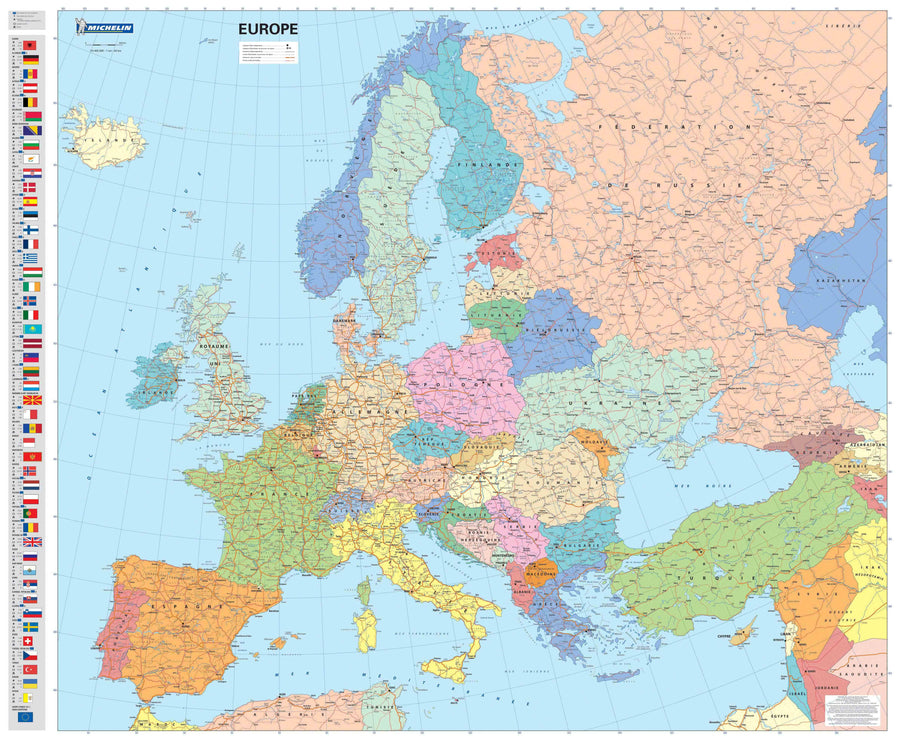
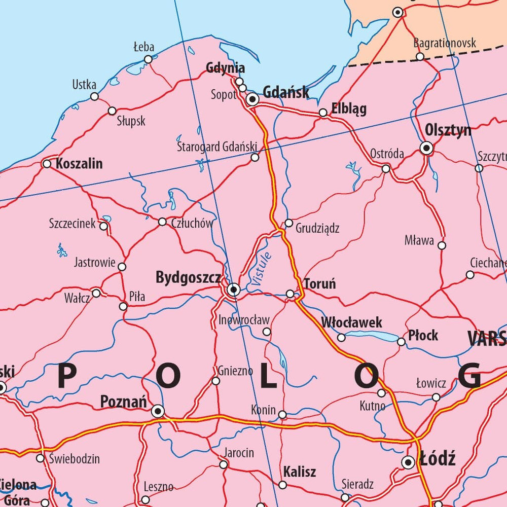
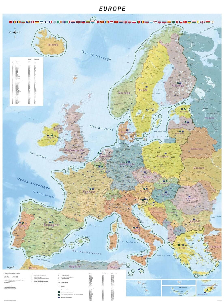
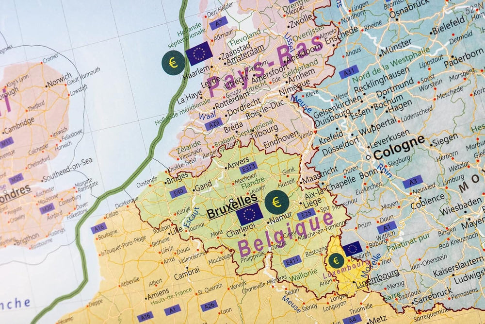
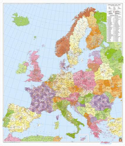
Laminated wall map with wooden slats - Europe (postcodes) - 96 x 113 cm | Freytag & Berndt

Price
Regular price $146.00
Regular price Sale price $146.00
Save $-146
/
  • Product made to order - Shipping within 7 to 10 working days from our workshop
  • Delivery costs calculated instantly in the basket
Tax included.

Often purchased together:

Large wall map of Europe showing the different postal codes. This map is equipped with wooden support slats to facilitate hanging on the wall (of an office for example).

Please note: Additional time for manufacturing is to be expected (approximately one week).

As this product is custom made at the request of our customers, it cannot be returned to us.


ISBN / EAN : PH.FBPLKEUR
Date de publication : 2020
Impression: front
Dimensions déplié(e) : 96 x 113cm
Poids : 1500 g

Customer Reviews

Be the first to write a review
0%
(0)
0%
(0)
0%
(0)
0%
(0)
0%
(0)
More from Europe
Carte routière n° 705 - Europe 2025 | Michelin carte pliée Michelin
Carte routière n° 705 - Europe 2022 | Michelin carte pliée Michelin
Road map # 705 - Europe | Michelin
Michelin
$10.00
CampingCard ACSI - Carte de réductions & Guide - Europe 2025 guide pratique ACSI
CampingCard ACSI - Carte de réductions & Guide - Europe 2022 guide pratique ACSI
CampingMap ACSI - Discounts Map & Guide - Europe (French)
ACSI
$27.00