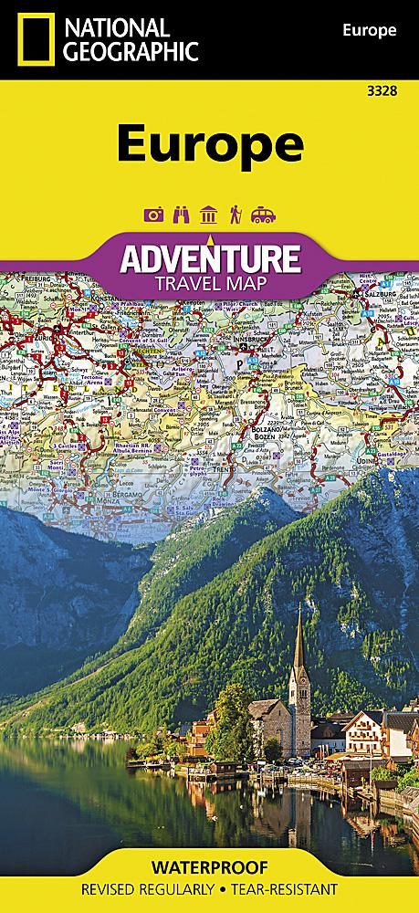
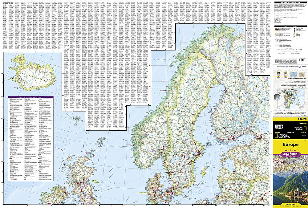
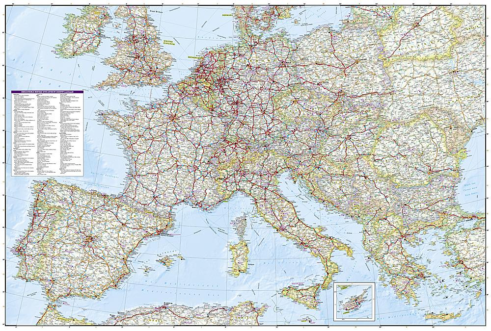
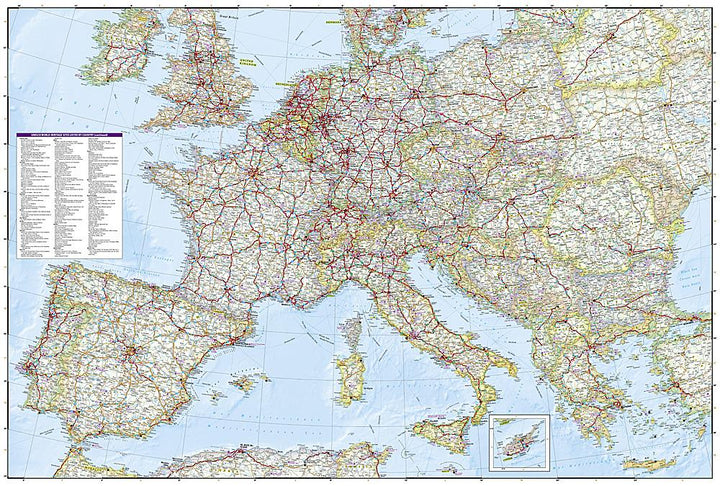
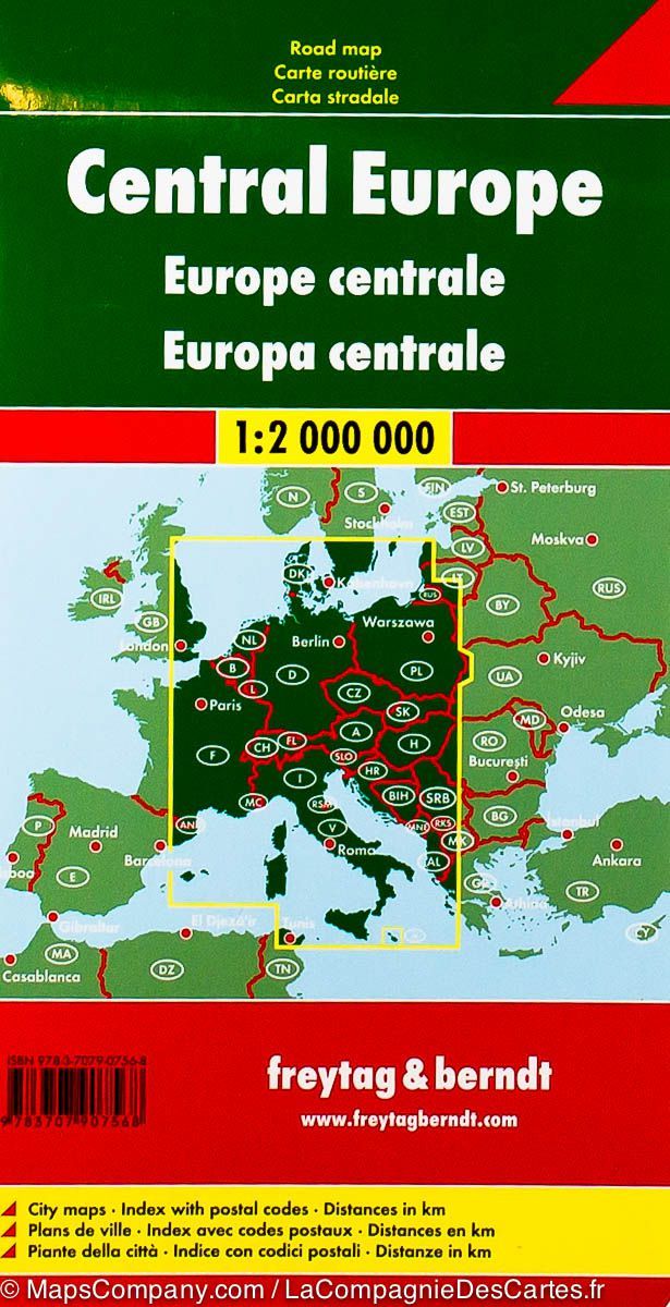
On the front, the printed map includes northern parts of Europe, with Scandinavia, Finland and Iceland. The back of the map includes the majority of continental Europe and the countries of the Mediterranean, each country has its own color.
The map includes main roads with distances and ferry lines to facilitate travel. Index of the main cities included. Scale 1/3 600 000 (1 cm = 36 km).
This detailed map of Europe is waterproof and resistant to tearing.
ISBN/EAN : 9781566957342
Publication date: 2023
Scale: 1/3,600,000 (1cm=36km)
Printed sides: both sides
Folded dimensions: 23.5 x 10.7 x 0.8cm
Unfolded dimensions: 96 x 65cm
Language(s): English
Weight:
89 g


