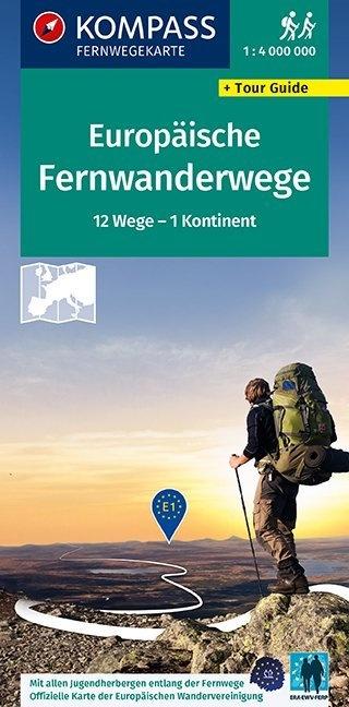


General Map - Europe: Hiking Trails + Tour Guide | Kompass
Regular price
$17.00
Regular price
Sale price
$17.00
Save $-17
/
- Shipping within 24 working hours from our warehouse in France
- Delivery costs calculated instantly in the basket
- Free returns (*)
- Real-time inventory
- Low stock - 1 item left
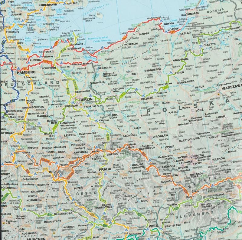
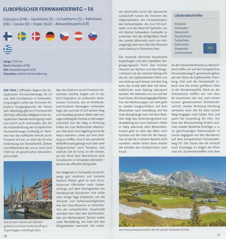
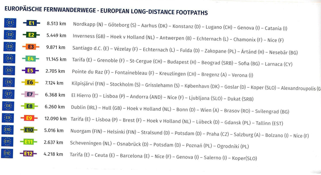
Related geographic locations and collections: Alps (hiking maps), Austria, Europe, Germany, Hiking in Switzerland, Kompass - Hiking maps of the Swiss Alps, Switzerland, Western Europe