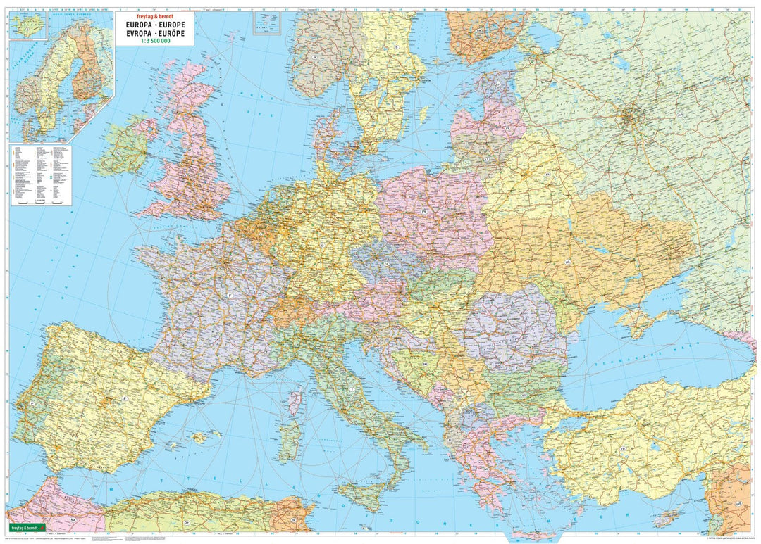
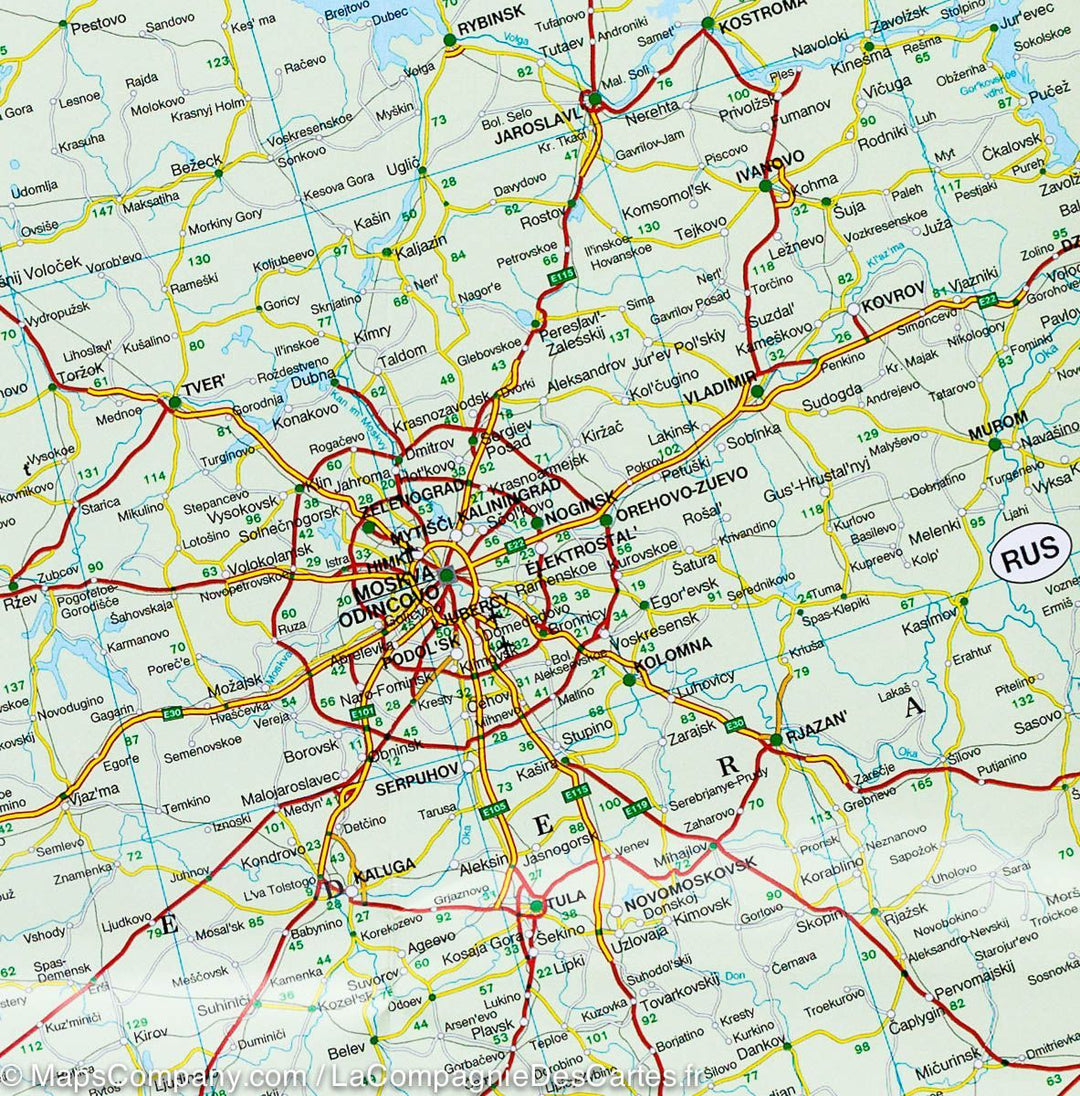
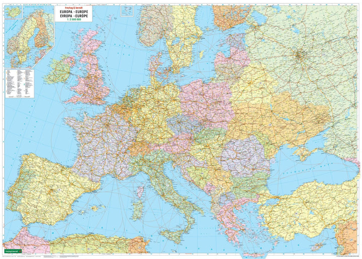
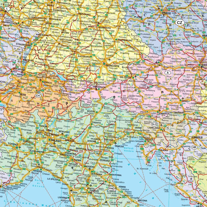
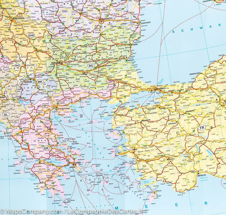
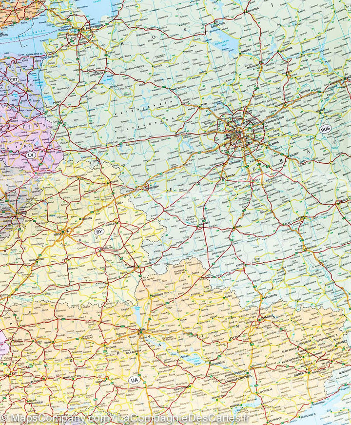
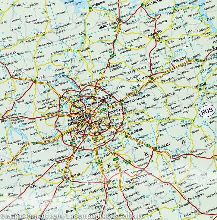
ISBN/EAN : 9783850842228
Publication date: 2022
Scale: 1/3,500,000 (1cm=35km)
Printed sides: front
Folded dimensions: 25.6 x 13 x 0.8cm
Unfolded dimensions: 125 x 90cm
Language(s): multilingual including French
Weight:
110 g
Over 19,000 maps and travel guides, hiking maps, posters, globes, and decor in stock!
Over 19,000 maps and travel guides, hiking maps, posters, globes, and decor in stock!
Delivery at €2.90 for all orders between €30 and €50 (folded maps and guides, mainland France)
Delivery at €2.90 for all orders between €30 and €50 (folded maps and guides, mainland France)
Free delivery for all orders > €50 (folded maps and guides, mainland France)
Free delivery for all orders > €50 (folded maps and guides, mainland France)
-
Travel maps
-
Hiking
-
Wall maps
-
-
Travel accessories
-
-
Your cart is currently empty.
We accept
© 2025
La Compagnie des Cartes - Le voyage et la randonnée
General terms and conditions of salePrivacyRequest for access to personal data


