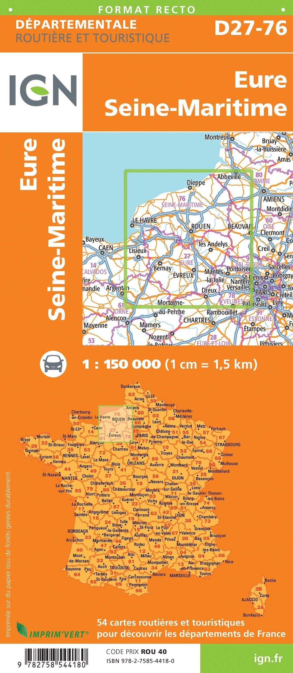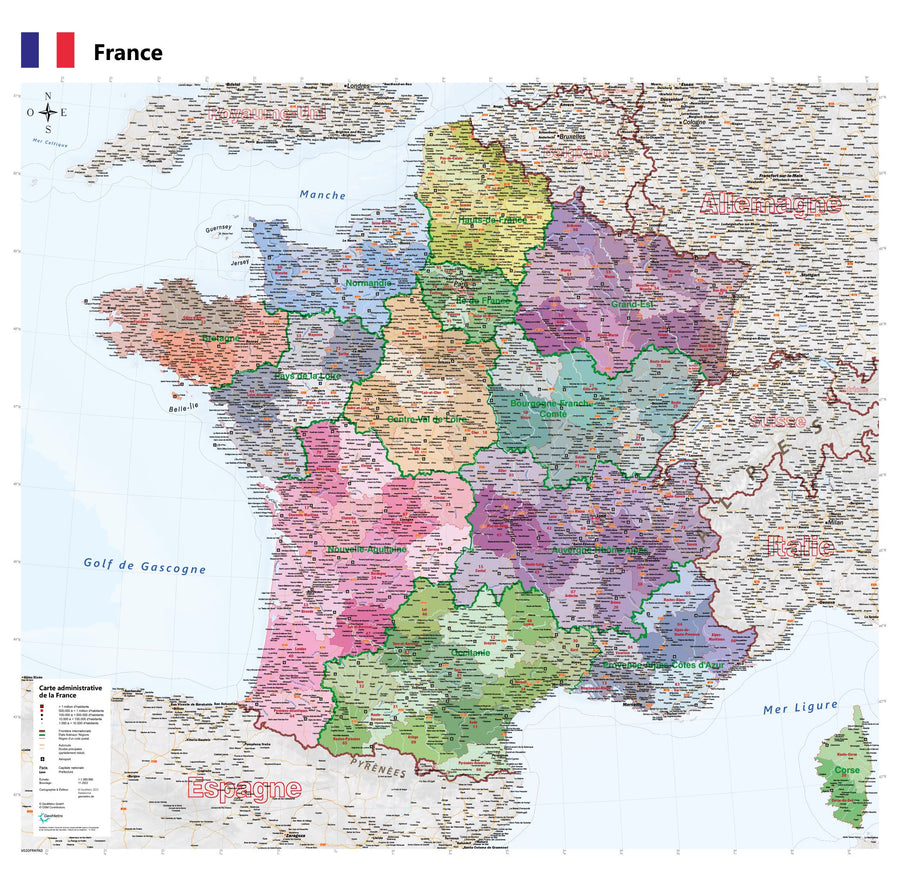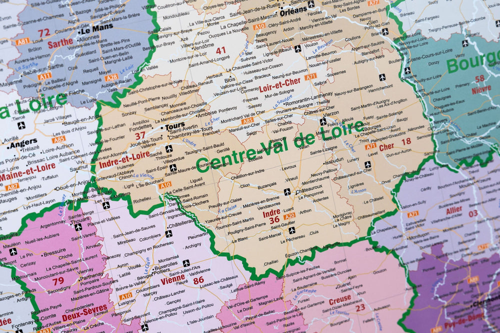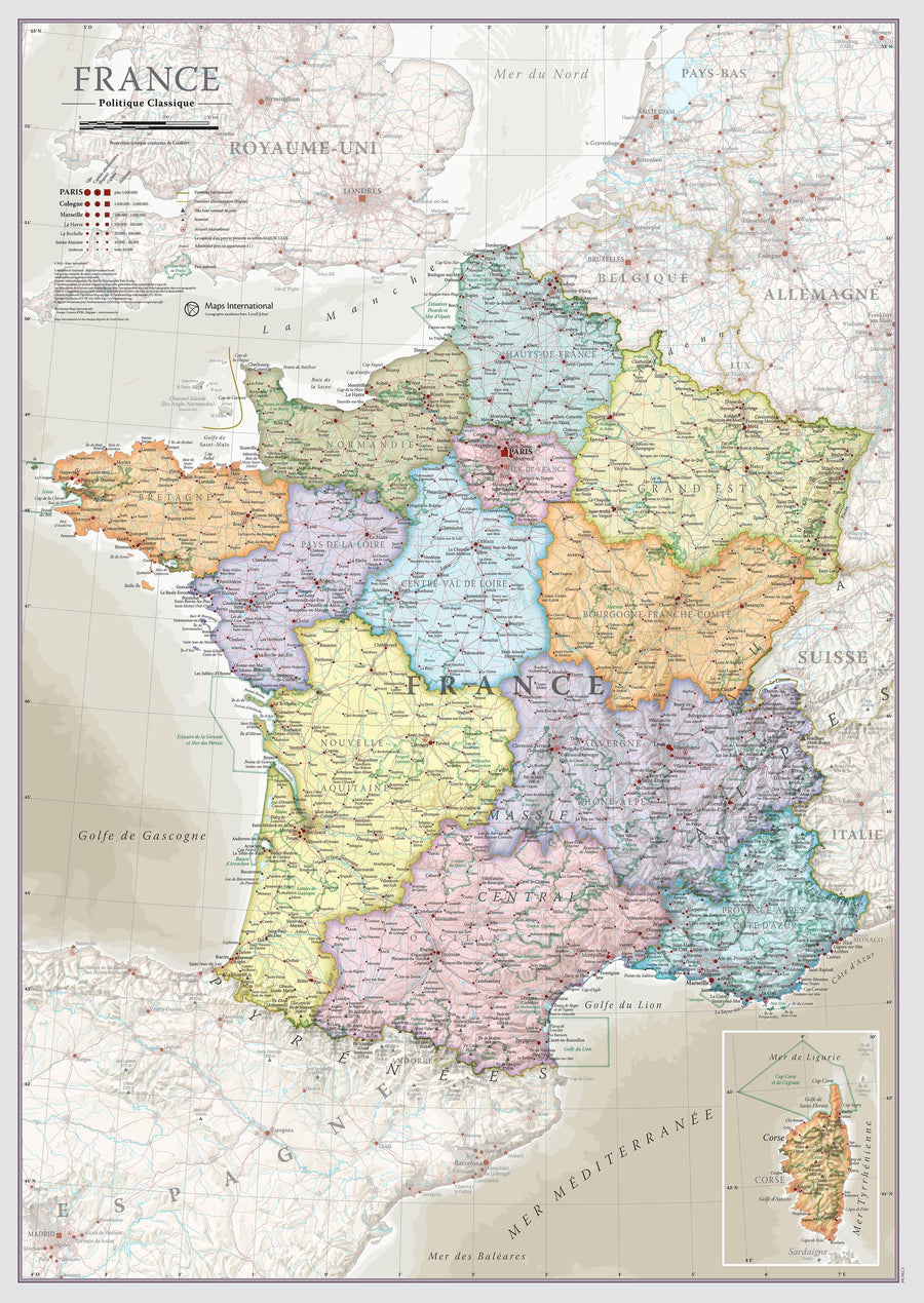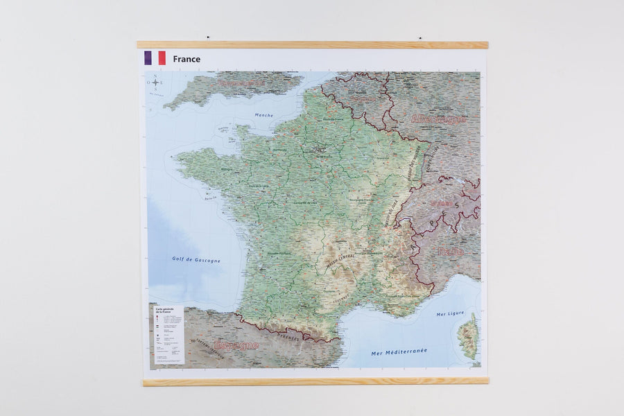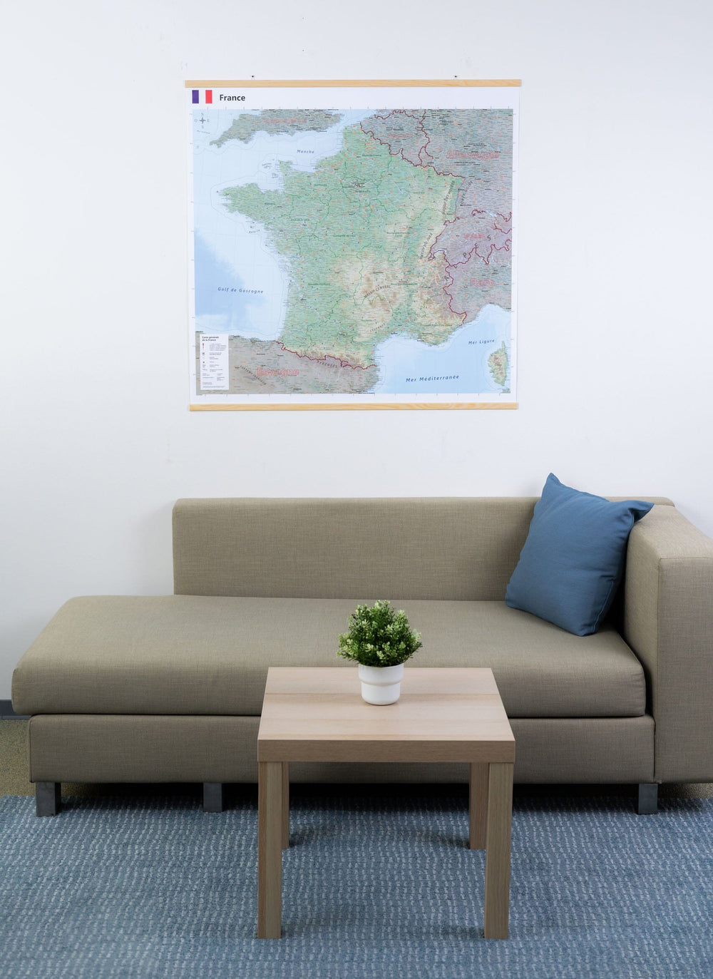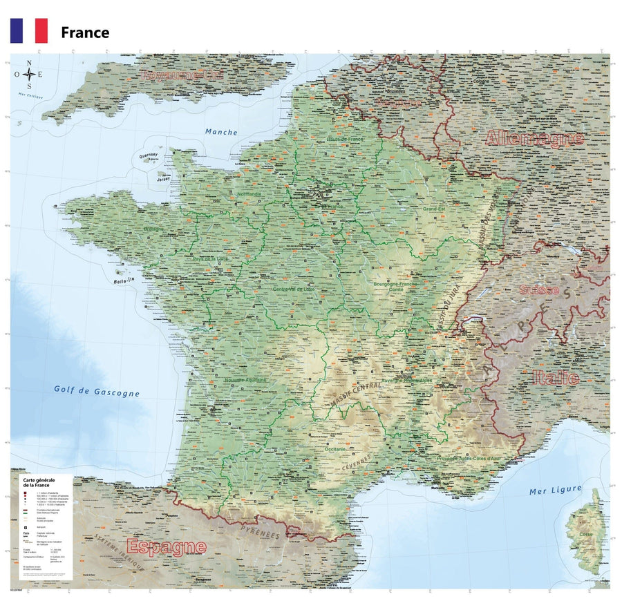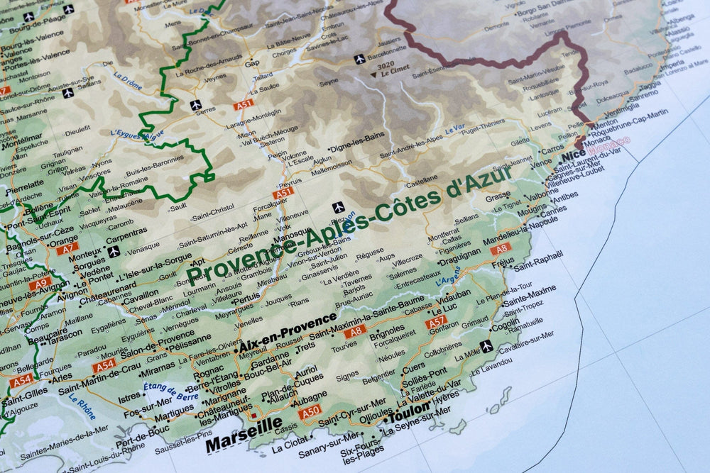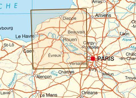


Magnetic board - Eure & Seine - Maritime - 132 x 102 cm | IGN (French)
Regular price
$403.00
Regular price
Sale price
$403.00
Save $-403
/
- Made to order product - Ships within 2 to 3 weeks from our workshop
- Delivery costs calculated instantly in the basket
Related geographic locations and collections: Eure (department 27), Magnetic boards / Magnetic wall maps, Seine-Maritime (department 76)