Hiking map # 3.2 / 4.2 - South Pindos | Anavasi

Price
Regular price $12.00
Regular price Sale price $12.00
Save $-12
/
  • Shipping within 24 working hours from our warehouse in France
  • Delivery costs calculated instantly in the basket
  • Free returns (*)
  • Real-time inventory
  • In stock, ready to ship
  • Backordered, shipping soon
Tax included.

Often purchased together:

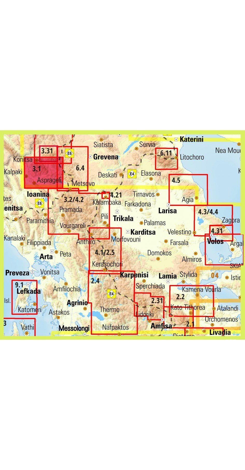
Southern Hiking map of Pinder [3.2 / 4.2] Peristeri - Kakarditsa - Tzoumerka - Koziakas - Avgo - Tringia. It covers a large mountainous region that extends between Katara Pass (and the new highway of Egnatia) and the northern edge of the agrafa massif. Includes dozens of famous mountain peaks that are collectively called South Pindos. Several new trails have been added, as well as an entire mountain, Kokkinolakkas, with new recently open and marked trails. The road network has also been updated. The map is printed on polyart synthetic paper perfectly waterproof and durable. It is placed in a mapboard booklet where you will find information on the climbs of the main summits of the region. This hiking map is GPS compatible, indicates the relief by shading, sources, seasonal streams and the nature of the landscape (forests, orchards or vineyards etc.).
The place names are given in Greek and Latin writing. Trails, hostels and shelters are clearly indicated. For road users, driving distances and service stations are indicated. The symbols indicate places of interest, including archaeological sites, churches and monasteries, etc.
The legend of the map includes English.


ISBN/EAN : 9789609412186
Publication date: 2022
Scale: 1/50,000 (1cm=500m)
Folded dimensions: 12 x 23cm
Language(s): English, Greek
Weight: 60 g

Customer Reviews

Based on 1 review
100%
(1)
0%
(0)
0%
(0)
0%
(0)
0%
(0)
P
Pascal A. (Cholet, FR)
Carte conforme à mes attentes

Carte correspondant à une région de Grèce méconnue, je suis satisfait de l’avoir trouvée. Elle est bien détaillée et recto verso ce qui permet une échelle plus grande. Hâte d'être sur place pour l’utiliser.

More from Epirus
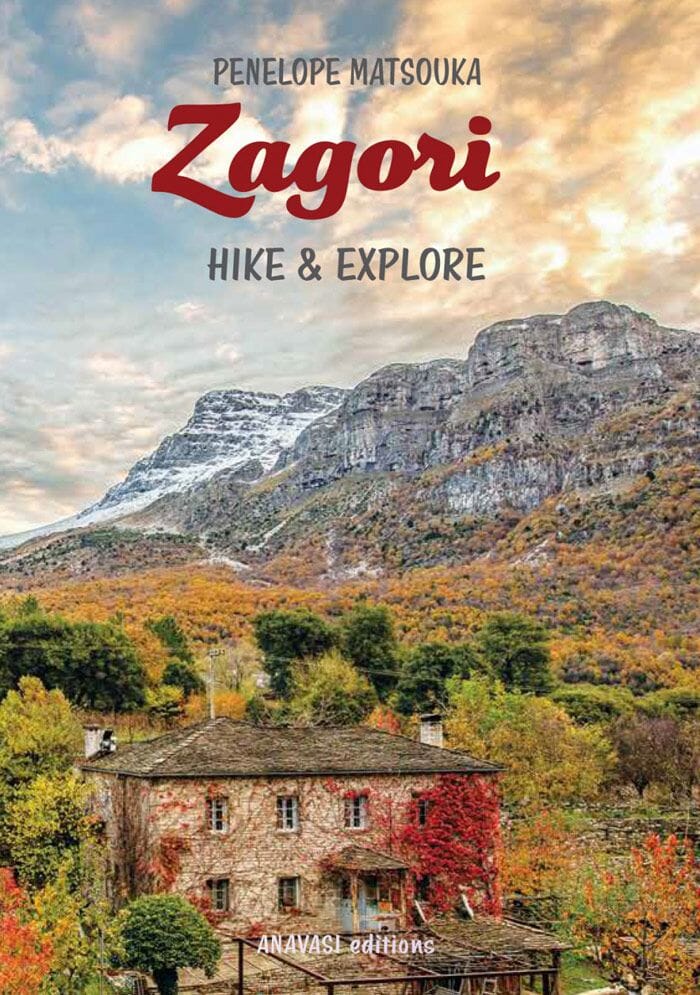
Guide de randonnées - Zagori Hike & Explore | Anavasi guide de randonnée Anavasi
Hiking guide - Zagori Hike & Explore | Anavasi
Anavasi
$32.00
Carte détaillée - Epire | Road Editions - Best Of carte pliée Road Editions
Detailed map - Epirus | Road Editions - Best of
Road Editions
$8.00
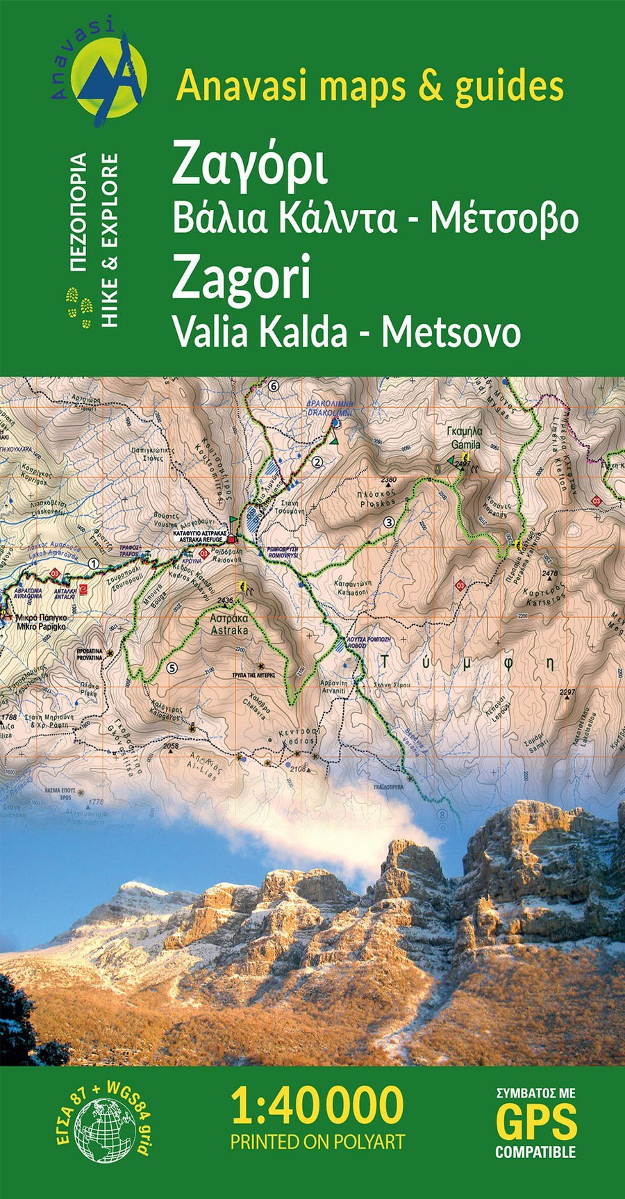
Carte de randonnée - Zagori, Valia Kalda, Metsovo | Anavasi carte pliée Anavasi
Hiking map - Zagori, Valia Kalda, Metsovo | Anavasi
Anavasi
$12.00
Carte de randonnée n° 3.2 / 4.2 - Pindos Sud | Anavasi carte pliée Anavasi
Carte de randonnée - Pindos Sud | Anavasi carte pliée Anavasi
Hiking map # 3.2 / 4.2 - South Pindos | Anavasi
Anavasi
$12.00
Atlas routier - Grèce Centrale (au 1/50 000) | Anavasi atlas Anavasi
Road atlas - Central Greece (1/50 000) | Anavasi
Anavasi
$22.00